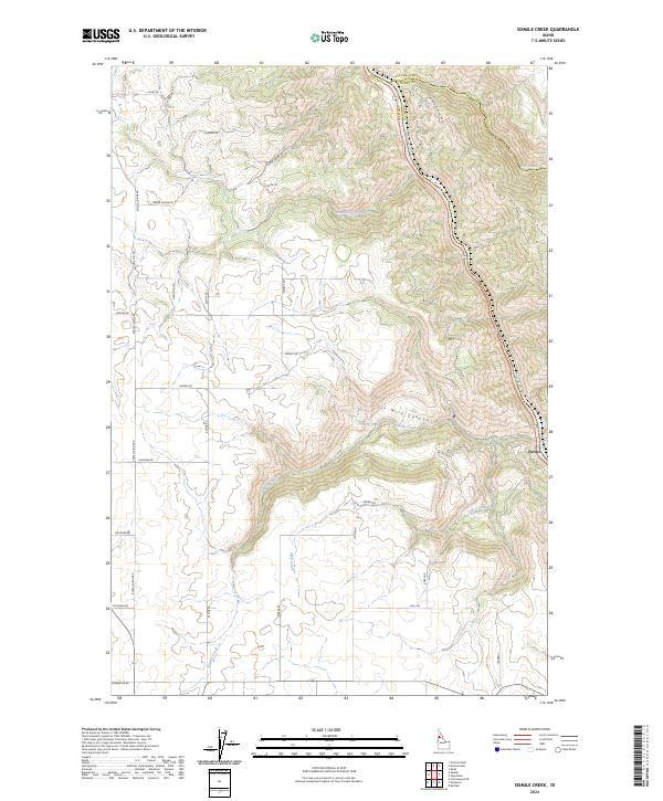
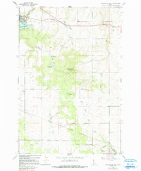
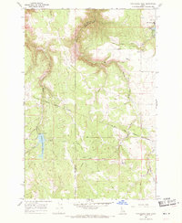
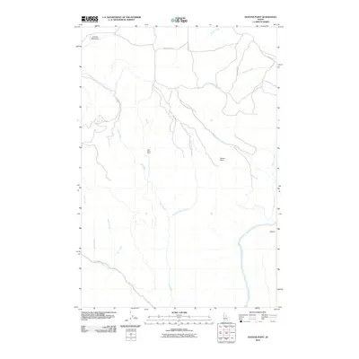
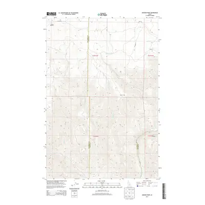
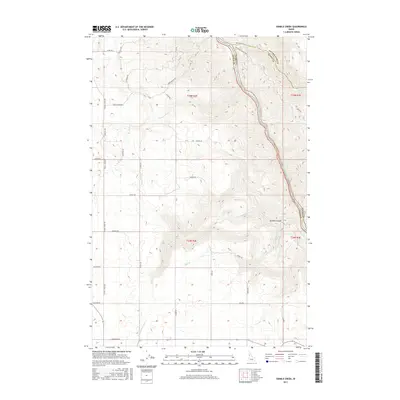
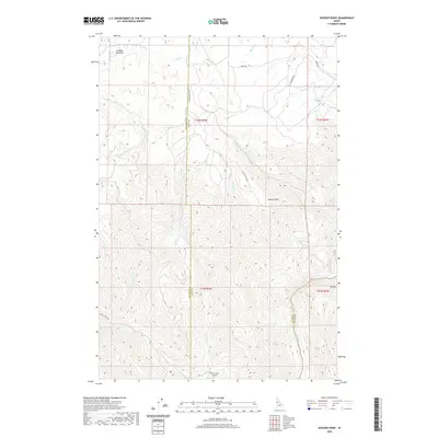
2024 Map of Sixmile Creek
USGS Topo · Published 2024About this map
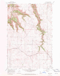
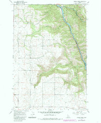
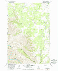
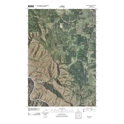
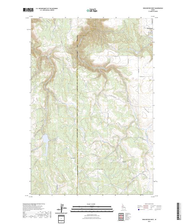
The Clearwater River carves a deep path through this corner of Northern Idaho, where the borders of Lewis, Clearwater, and Idaho counties converge. The rugged topography is defined by significant elevation changes, most notably within Six Mile Canyon and the surrounding plateaus. The small settlement of Pardee sits perched above the river, serving as a focal point for the rural road network that navigates the difficult terrain.
Find a feature on this map
35 named features on this map. Tap any name to fly to it.
Don’t see what you’re looking for? This feature index may not catch every label — zoom into the map to look around manually.
Map Details
Editions of this 2024 Sixmile Creek Map
This is the sole edition of this map. No revisions or reprints were ever made.
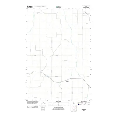
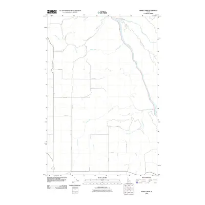
Historical Maps of Idaho County Through Time
49 maps found
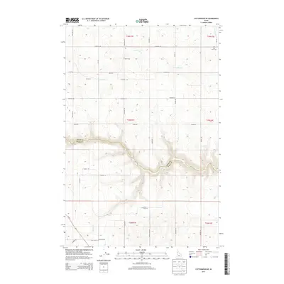
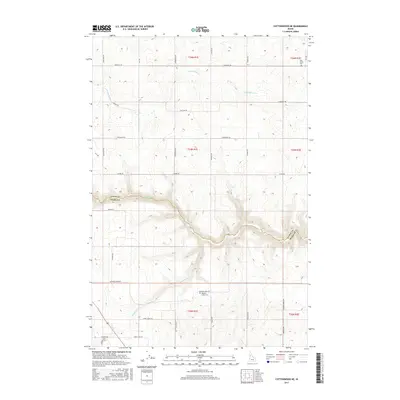
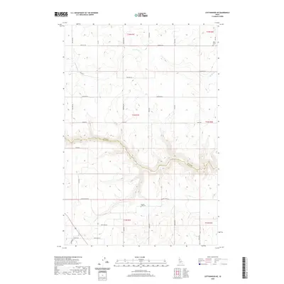
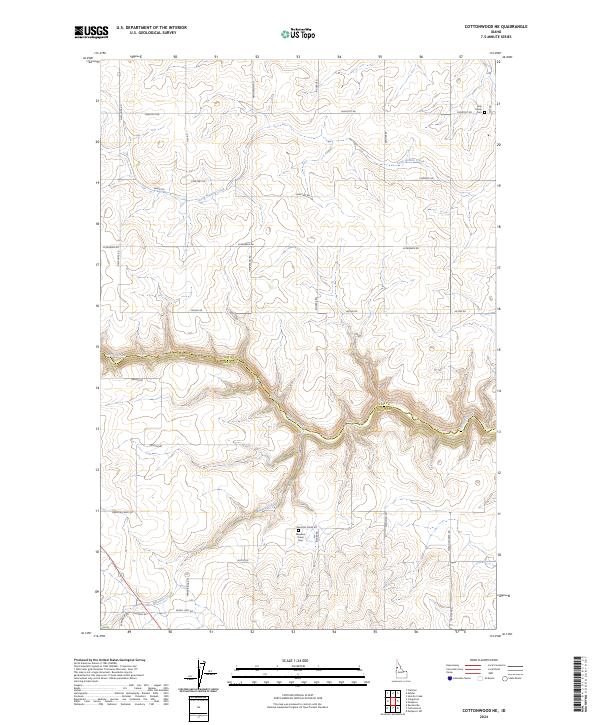
1967 Cottonwood NE
Lewis County, ID
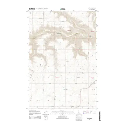
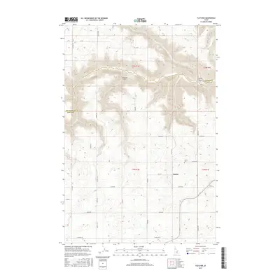
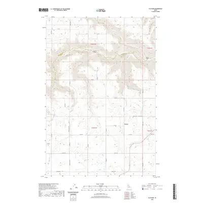
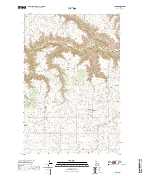
1967 Fletcher
Lewis County, ID
1967 Hoover Point
Lewis County, ID
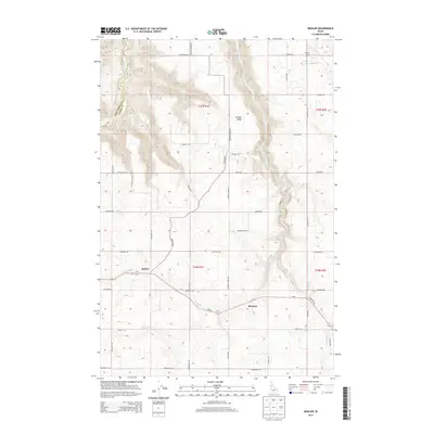
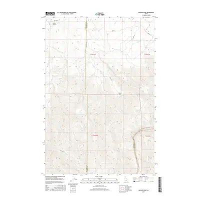
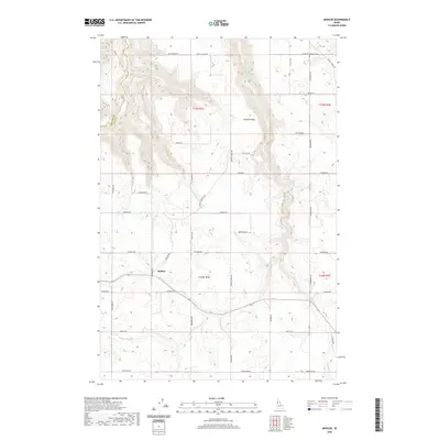
1967 Mohler
Lewis County, ID
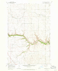
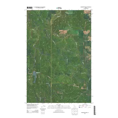
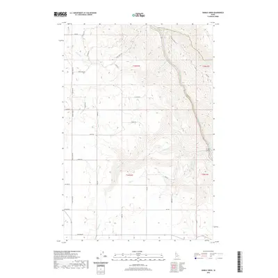
1967 Sixmile Creek
Lewis County, ID
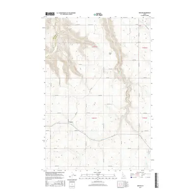
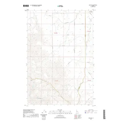
1967 Westlake
Lewis County, ID
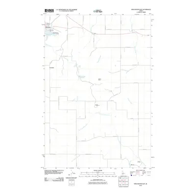
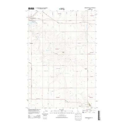
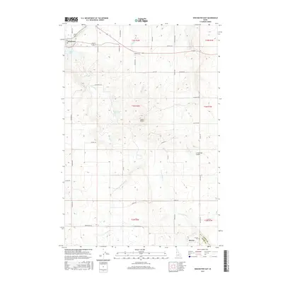
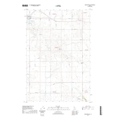
1967 Winchester East
Lewis County, ID
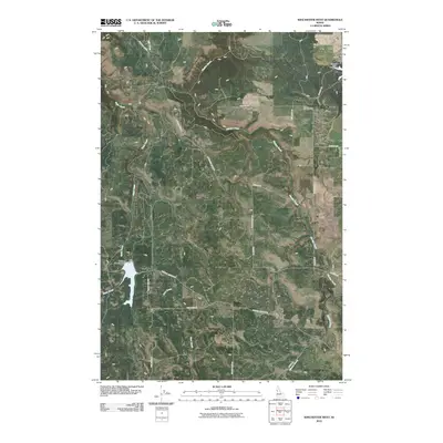
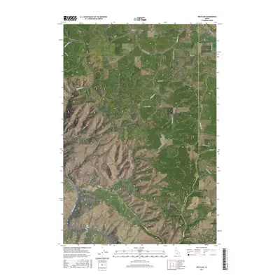
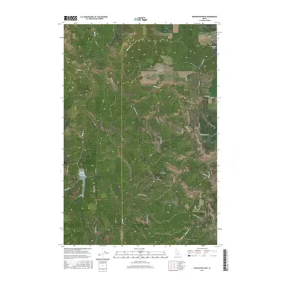
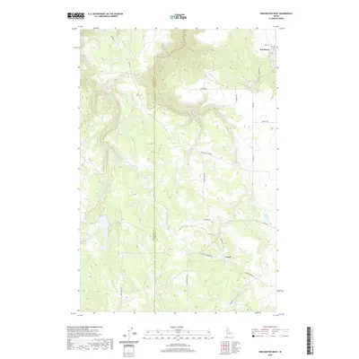
1968 Winchester West
Lewis County, ID
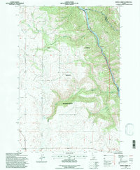
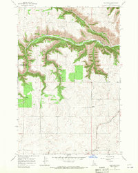
1994 Sixmile Creek
Lewis County, ID
2010 Cottonwood NE
Lewis County, ID
2010 Fletcher
Lewis County, ID
2010 Hoover Point
Lewis County, ID
2010 Mohler
Lewis County, ID
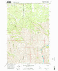
2010 Sixmile Creek
Lewis County, ID
2010 Westlake
Lewis County, ID
2010 Winchester East
Lewis County, ID
2010 Winchester West
Lewis County, ID
2013 Cottonwood NE
Lewis County, ID
2013 Fletcher
Lewis County, ID
2013 Hoover Point
Lewis County, ID
2013 Mohler
Lewis County, ID
2013 Sixmile Creek
Lewis County, ID
2013 Westlake
Lewis County, ID
2013 Winchester East
Lewis County, ID
2013 Winchester West
Lewis County, ID
2017 Cottonwood NE
Lewis County, ID
2017 Fletcher
Lewis County, ID
2017 Hoover Point
Lewis County, ID
2017 Mohler
Lewis County, ID
2017 Sixmile Creek
Lewis County, ID
2017 Westlake
Lewis County, ID
2017 Winchester East
Lewis County, ID
2017 Winchester West
Lewis County, ID
2020 Cottonwood NE
Lewis County, ID
2020 Fletcher
Lewis County, ID
2020 Hoover Point
Lewis County, ID
2020 Mohler
Lewis County, ID
2020 Sixmile Creek
Lewis County, ID
2020 Westlake
Lewis County, ID
2020 Winchester East
Lewis County, ID
2020 Winchester West
Lewis County, ID
2024 Cottonwood NE
Lewis County, ID
2024 Fletcher
Lewis County, ID
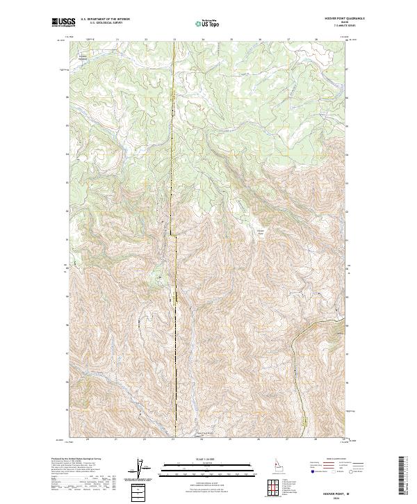
2024 Hoover Point
Lewis County, ID
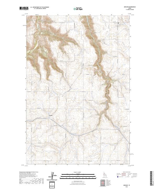
2024 Mohler
Lewis County, ID
2024 Sixmile Creek
Lewis County, ID
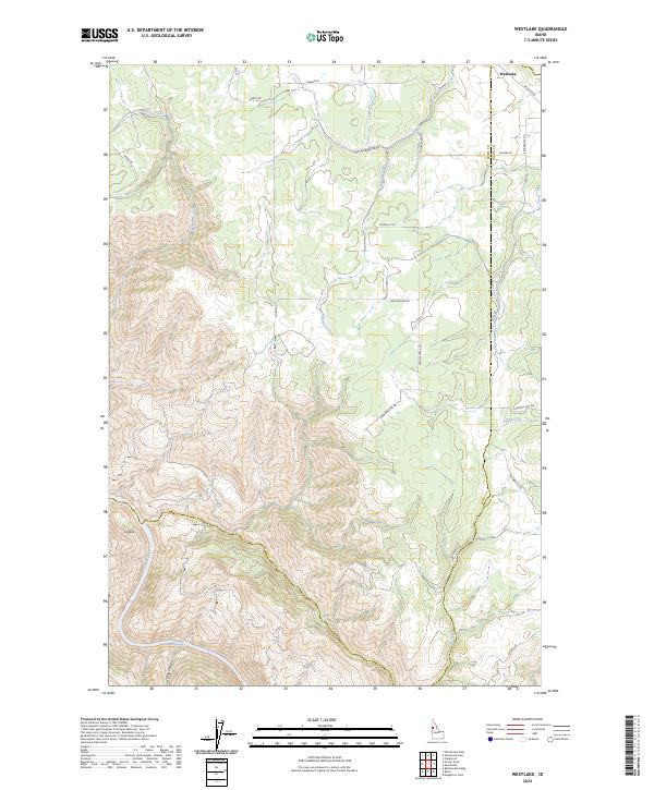
2024 Westlake
Lewis County, ID
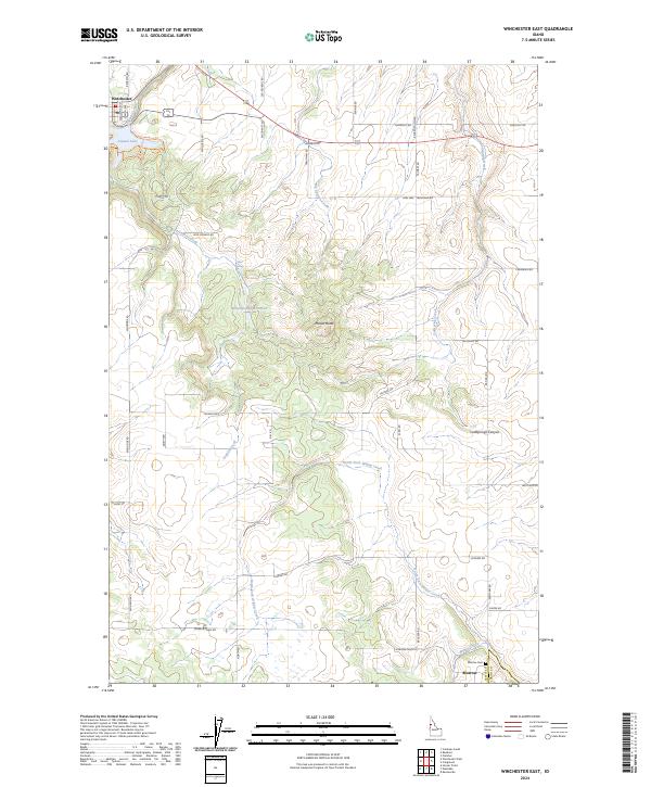
2024 Winchester East
Lewis County, ID
2024 Winchester West
Lewis County, ID