
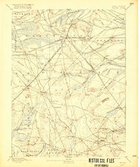
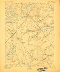
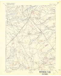
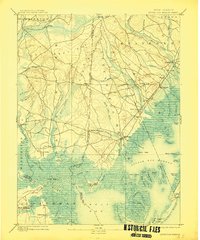
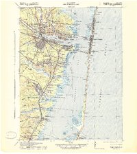
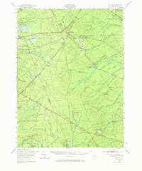
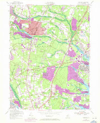
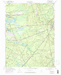
1888 Map of Whiting
USGS Topo · Published 1916This historical map portrays the area of Whiting in 1888, primarily covering Ocean County as well as portions of Burlington County. Featuring a scale of 1:62500, this map provides a highly detailed snapshot of the terrain, roads, buildings, counties, and historical landmarks in the Whiting region at the time. Published in 1916, it is one of 4 known editions of this map due to revisions or reprints.
Map Details
Editions of this 1888 Whiting Map
4 editions found

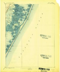
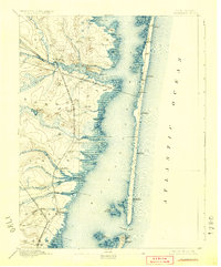
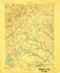
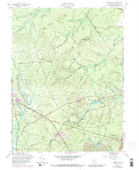
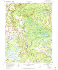
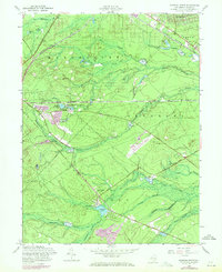
Historical Maps of Ocean County Through Time
38 maps found

1884 Whitings
Ocean County, NJ

1888 Barnegat
Ocean County, NJ

1888 Cassville
Ocean County, NJ

1888 Little Egg Harbor
Ocean County, NJ

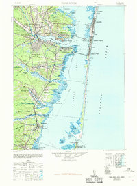
1888 Long Beach
Ocean County, NJ
1888 Whiting
Ocean County, NJ
1893 Barnegat
Ocean County, NJ
1893 Little Egg Harbor
Ocean County, NJ
1893 Long Beach
Ocean County, NJ

1894 Cassville
Ocean County, NJ
1898 Barnegat
Ocean County, NJ
1900 Cassville
Ocean County, NJ

1919 Barnegat
Ocean County, NJ

1919 Long Beach
Ocean County, NJ

1920 Little Egg Harbor
Ocean County, NJ

1941 Long Beach
Ocean County, NJ
1941 Toms River
Ocean County, NJ

1942 Whiting
Ocean County, NJ

1947 Lakewood
Ocean County, NJ
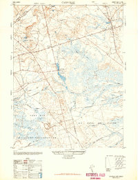
1948 Cassville
Ocean County, NJ
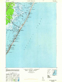
1948 Long Beach
Ocean County, NJ
1948 Toms River
Ocean County, NJ
1949 Whiting
Ocean County, NJ

1951 Brookville
Ocean County, NJ

1951 Keswick Grove
Ocean County, NJ
1951 Long Beach NE
Ocean County, NJ
1951 West Creek
Ocean County, NJ

1951 Whiting
Ocean County, NJ
1953 Toms River
Ocean County, NJ
1954 Lakewood
Ocean County, NJ
1957 Brookville
Ocean County, NJ
1957 Cassville
Ocean County, NJ
1957 Keswick Grove
Ocean County, NJ
1957 Whiting
Ocean County, NJ
1989 Lakewood
Ocean County, NJ

1989 Toms River
Ocean County, NJ

1995 Lakewood
Ocean County, NJ

1995 Toms River
Ocean County, NJ