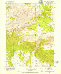
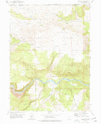
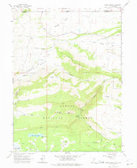
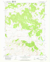
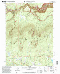
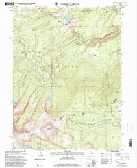
1952 Map of Willow Creek Butte
USGS Topo · Published 1953This historical map portrays the area of Willow Creek Butte in 1952, primarily covering Daggett County as well as portions of Colorado. Featuring a scale of 1:24000, this map provides a highly detailed snapshot of the terrain, roads, buildings, counties, and historical landmarks in the Willow Creek Butte region at the time. Published in 1953, it is one of 3 known editions of this map due to revisions or reprints.
Find a feature on this map
38 named features on this map. Tap any name to fly to it.
Don’t see what you’re looking for? This feature index may not catch every label — zoom into the map to look around manually.
Map Details
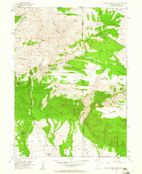
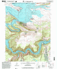
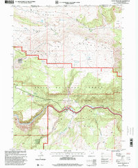
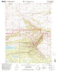
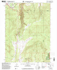
Editions of this 1952 Willow Creek Butte Map
3 editions found
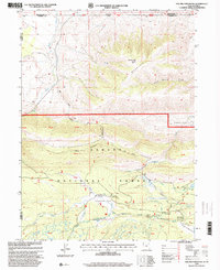
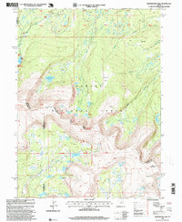
Historical Maps of Moffat County Through Time
22 maps found
1952 Clay Basin
Daggett County, UT
1952 Dutch John Mtn
Daggett County, UT
1952 Goslin Mtn
Daggett County, UT
1952 Swallow Canyon
Daggett County, UT
1952 Willow Creek Butte
Daggett County, UT
1963 Elk Park
Daggett County, UT
1963 Jessen Butte
Daggett County, UT
1963 Leidy Peak
Daggett County, UT
1963 Phil Pico Mtn
Daggett County, UT
1963 Whiterocks Lake
Daggett County, UT
1967 Hoy Mountain
Daggett County, UT
1967 Mount Lena
Daggett County, UT
1990 Whiterocks Lake
Daggett County, UT
1996 Clay Basin
Daggett County, UT
1996 Elk Park
Daggett County, UT
1996 Flaming George
Daggett County, UT
1996 Goslin Mountain
Daggett County, UT
1996 Jessen Butte
Daggett County, UT
1996 Leidy Peak
Daggett County, UT
1996 Mount Lena
Daggett County, UT
1996 Phil Pico Mountain
Daggett County, UT
1996 Whiterocks Lake
Daggett County, UT