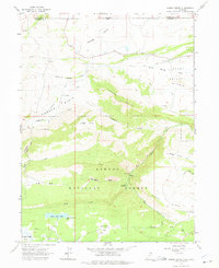
1963 Map of Jessen Butte
USGS Topo · Published 1975About this map
Ashley National Forest dominates this high-altitude landscape where the High Uintas meet the Wyoming border. The terrain transitions from the open grazing lands of Lucerne Valley and Conner Basin in the north to the heavily timbered slopes of Jessen Butte and Windy Ridge in the south. This 1963 field-checked survey highlights a distinct ranching and recreational economy, evidenced by a remote Landing Strip and the Palisade Campground near Big Spring. Water management is central to life here, with an intricate system of Canals feeding off Birch Spring and Sheep Creek to support the lower valleys. Higher elevations feature notable landmarks like Sheep Creek Lake and Half Moon Park, alongside a singular Grave and a small Prospect that hint at the solitary lives of early residents and explorers in Daggett County.
Find a feature on this map
36 named features on this map. Tap any name to fly to it.
Don’t see what you’re looking for? This feature index may not catch every label — zoom into the map to look around manually.
Map Details
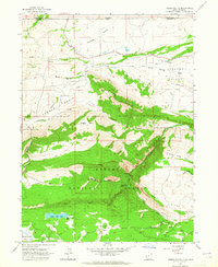
Editions of this 1963 Jessen Butte Map
2 editions found
Other maps of this area

1885 · Ashley
USGS Topo · 1:250,000

1906 · Marsh Peak
USGS Topo · 1:125,000

1908 · Marsh Peak
USGS Topo · 1:125,000

1954 · Vernal
USGS Topo · 1:250,000

1954 · Rock Springs
USGS Topo · 1:250,000

1958 · Vernal
USGS Topo · 1:250,000

1958 · Rock Springs
USGS Topo · 1:250,000

1960 · Vernal
USGS Topo · 1:250,000

1962 · Rock Springs
USGS Topo · 1:250,000
1963 · Whiterocks Lake
USGS Topo · 1:24,000