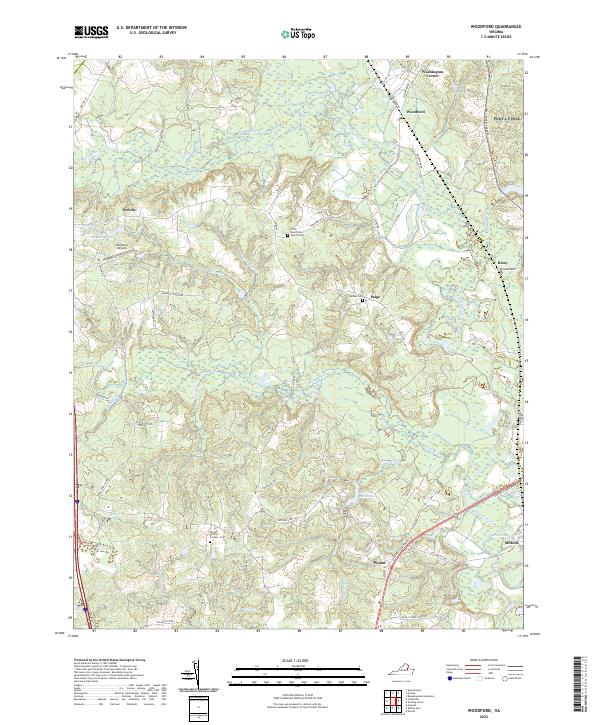
2022 Map of Woodford
USGS Topo · Published 2022About this map
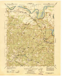
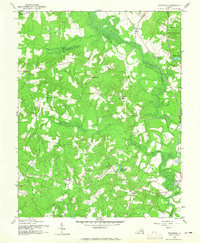
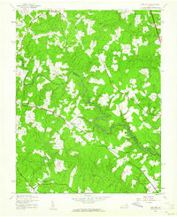
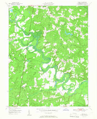
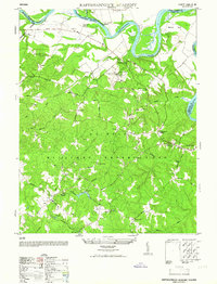
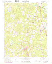
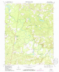
The Mattaponi River and its various tributaries, including the South River and Matta River, define the landscape of this Caroline County region. This modern survey illustrates the persistent rural character of settlements like Woodford, Paige, and Milford, where historical road networks such as the Fredericksburg Tpke still serve as primary corridors. The map provides significant genealogical value through its marking of local interment sites, including Wright's Burying Ground Cem, Bethel Cem, and the Third Mount Zion Church Cem.
Find a feature on this map
54 named features on this map. Tap any name to fly to it.
Don’t see what you’re looking for? This feature index may not catch every label — zoom into the map to look around manually.
Map Details
Editions of this 2022 Woodford Map
This is the sole edition of this map. No revisions or reprints were ever made.
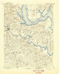
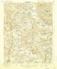
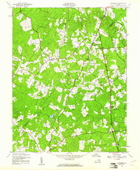
Historical Maps of Poplar Through Time
35 maps found

1889 Fredericksburg
Caroline County, VA

1892 Fredericksburg
Caroline County, VA
1894 Fredericksburg
Caroline County, VA
1918 Doswell
Caroline County, VA
1942 Ladysmith
Caroline County, VA
1942 Rappahannock Academy
Caroline County, VA

1942 Upper Zion
Caroline County, VA
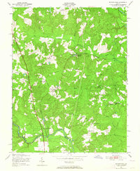
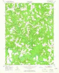
1942 Woodford
Caroline County, VA
1943 Hewlett
Caroline County, VA
1944 Nanjemoy
Caroline County, VA
1949 Ruther Glen
Caroline County, VA
1951 Penola
Caroline County, VA
1951 Ruther Glen
Caroline County, VA
1951 Sparta
Caroline County, VA
1952 Rappahannock Academy
Caroline County, VA
1952 Upper Zion
Caroline County, VA
1964 Rappahannock Academy
Caroline County, VA
1964 Upper Zion
Caroline County, VA
1966 Ladysmith
Caroline County, VA
1968 Sparta
Caroline County, VA
1968 Supply
Caroline County, VA
1969 Hewlett
Caroline County, VA
1969 Penola
Caroline County, VA
1969 Rappahannock Academy
Caroline County, VA
1969 Ruther Glen
Caroline County, VA
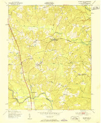
1969 Woodford
Caroline County, VA
1994 Rappahannock Academy
Caroline County, VA
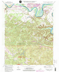
2022 Hewlett
Caroline County, VA
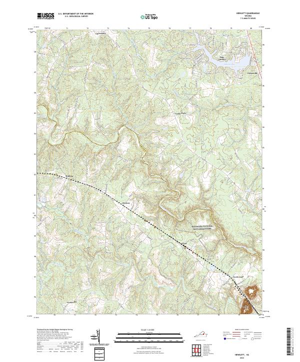
2022 Ladysmith
Caroline County, VA
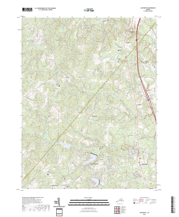
2022 Penola
Caroline County, VA
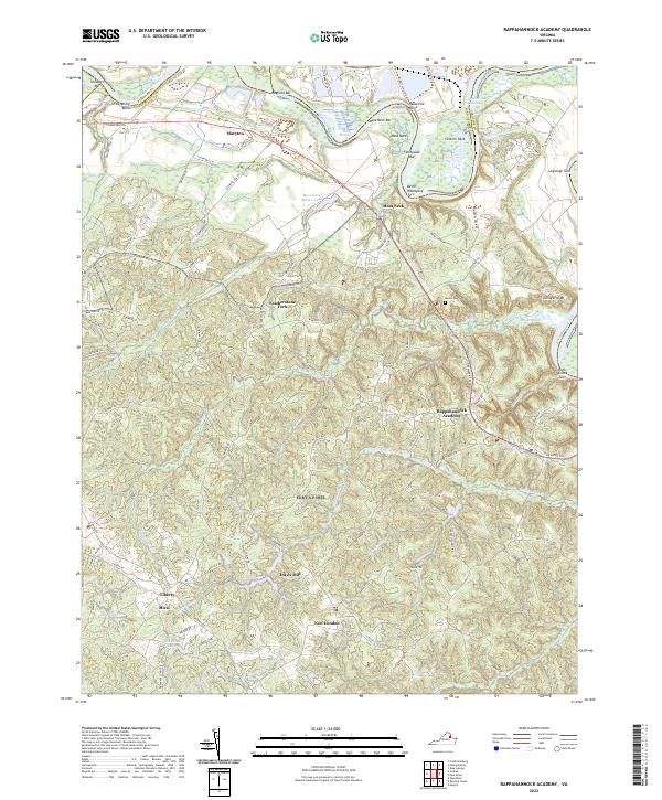
2022 Rappahannock Academy
Caroline County, VA
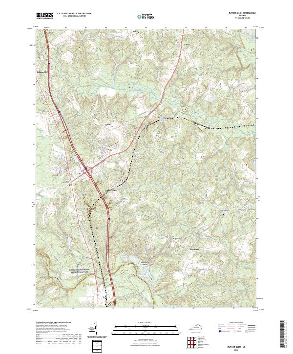
2022 Ruther Glen
Caroline County, VA
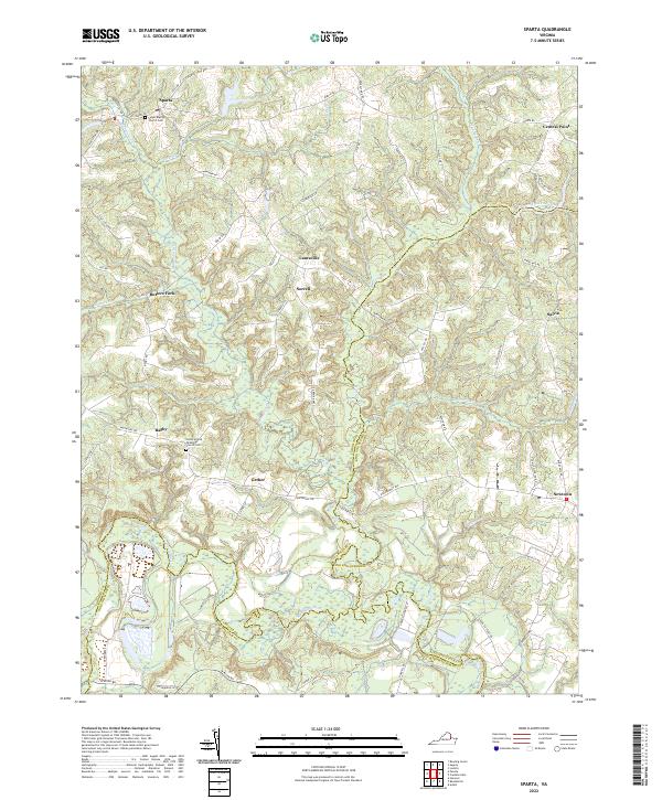
2022 Sparta
Caroline County, VA
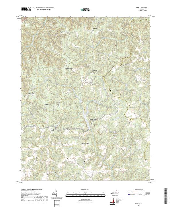
2022 Supply
Caroline County, VA
2022 Woodford
Caroline County, VA