
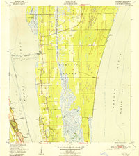
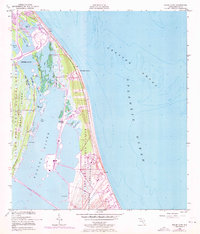
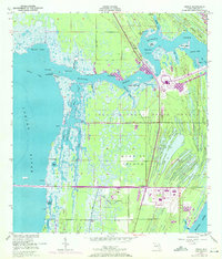
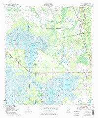
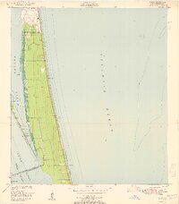
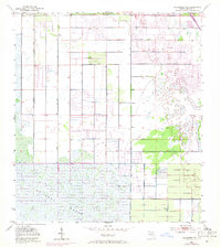
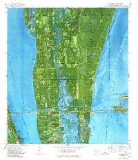
1951 Map of Courtenay
USGS Topo · Published 1951This historical map portrays the area of Courtenay in 1951, primarily covering Brevard County. Featuring a scale of 1:24000, this map provides a highly detailed snapshot of the terrain, roads, buildings, counties, and historical landmarks in the Courtenay region at the time. Published in 1951, it is one of 3 known editions of this map due to revisions or reprints.
Map Details
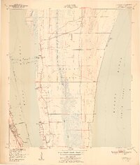
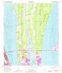
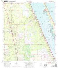
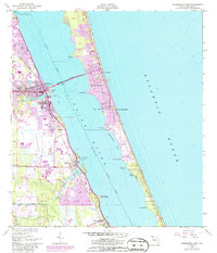
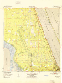
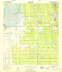
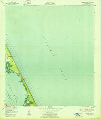
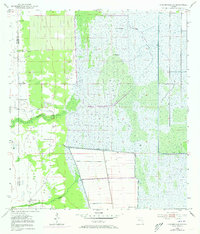
Editions of this 1951 Courtenay Map
3 editions found
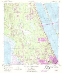
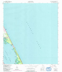
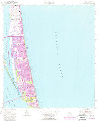
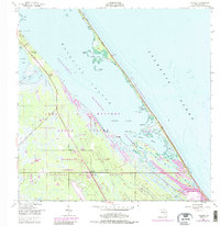
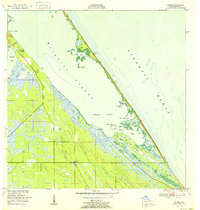
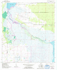
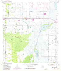
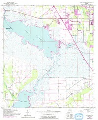
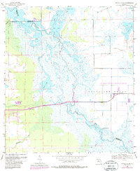
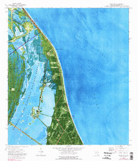
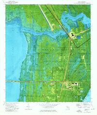
Historical Maps of Brevard County Through Time
30 maps found
1949 Courtenay
Brevard County, FL
1949 Eau Gallie
Brevard County, FL
1949 False Cape
Brevard County, FL
1949 Grant
Brevard County, FL
1949 Melbourne East
Brevard County, FL
1949 Melbourne West
Brevard County, FL
1949 Orsino
Brevard County, FL
1949 Sebastian NW
Brevard County, FL
1949 Tropic
Brevard County, FL
1949 Wilson
Brevard County, FL
1950 Aurantia
Brevard County, FL

1951 Courtenay
Brevard County, FL
1951 Eau Gallie
Brevard County, FL

1951 False Cape
Brevard County, FL

1951 Grant
Brevard County, FL

1951 Melbourne East
Brevard County, FL
1951 Melbourne West
Brevard County, FL

1951 Orsino
Brevard County, FL
1951 Sebastian NW
Brevard County, FL
1951 Tropic
Brevard County, FL
1952 Wilson
Brevard County, FL
1953 Deer Park NE
Brevard County, FL
1953 Deer Park SE
Brevard County, FL
1953 Fellsmere NW
Brevard County, FL
1953 Kenansville NE
Brevard County, FL
1953 Lake Poinsett
Brevard County, FL
1953 Titusville SW
Brevard County, FL
1976 Courtenay
Brevard County, FL
1976 False Cape
Brevard County, FL
1976 Orsino
Brevard County, FL