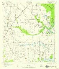
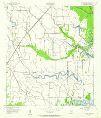
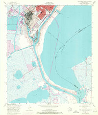
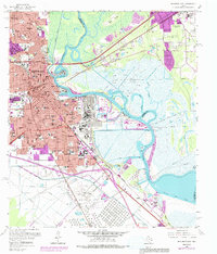
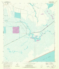
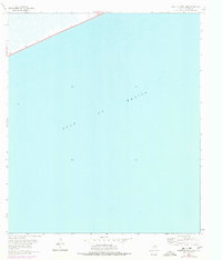
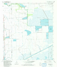
1943 Map of Fannett East
USGS Topo · Published 1959This historical map portrays the area of Fannett East in 1943, primarily covering Jefferson County. Featuring a scale of 1:24000, this map provides a highly detailed snapshot of the terrain, roads, buildings, counties, and historical landmarks in the Fannett East region at the time. Published in 1959, it is one of 2 known editions of this map due to revisions or reprints.
Find a feature on this map
24 named features on this map. Tap any name to fly to it.
Don’t see what you’re looking for? This feature index may not catch every label — zoom into the map to look around manually.
Map Details
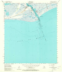
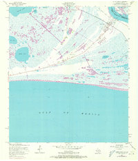
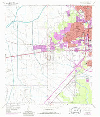
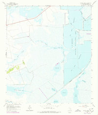
Editions of this 1943 Fannett East Map
2 editions found
Historical Maps of Jefferson County Through Time
43 maps found

1943 Beaumont East
Jefferson County, TX
1943 Fannett East
Jefferson County, TX

1943 Port Arthur North
Jefferson County, TX
1943 Port Arthur South
Jefferson County, TX

1944 Sabine Pass
Jefferson County, TX

1944 Texas Point
Jefferson County, TX

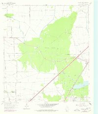
1945 Fannett East
Jefferson County, TX

1945 Nolte
Jefferson County, TX
1957 Port Arthur North
Jefferson County, TX
1957 Port Arthur South
Jefferson County, TX
1957 Sabine Pass
Jefferson County, TX
1957 Sabine Pass
Jefferson County, TX
1957 Texas Point
Jefferson County, TX
1960 Beaumont East
Jefferson County, TX
1960 Beaumont West
Jefferson County, TX
1961 Clam Lake
Jefferson County, TX
1961 Mud Lake
Jefferson County, TX
1961 Star Lake
Jefferson County, TX

1962 Alligator Hole Marsh
Jefferson County, TX
1962 Big Hill Bayou
Jefferson County, TX

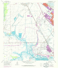
1962 Fannett East
Jefferson County, TX
1962 Fannett West
Jefferson County, TX
1962 Port Acres
Jefferson County, TX
1962 South of Star Lake
Jefferson County, TX
1962 Whites Ranch
Jefferson County, TX
1962 Winnie NW
Jefferson County, TX

1993 Alligator Hole Marsh
Jefferson County, TX

1993 Big Hill Bayou
Jefferson County, TX
1993 Clam Lake
Jefferson County, TX

1993 Fannett West
Jefferson County, TX

1993 Port Acres
Jefferson County, TX

1993 Port Arthur North
Jefferson County, TX

1993 Port Arthur South
Jefferson County, TX

1993 Sabine Pass
Jefferson County, TX

1993 Texas Point
Jefferson County, TX
1993 Whites Ranch
Jefferson County, TX

1994 Beaumont East
Jefferson County, TX

1994 Beaumont West
Jefferson County, TX

1994 Fannett East
Jefferson County, TX

1994 Mud Lake
Jefferson County, TX
1994 South of Star Lake
Jefferson County, TX
1994 Star Lake
Jefferson County, TX

1994 Winnie NW
Jefferson County, TX