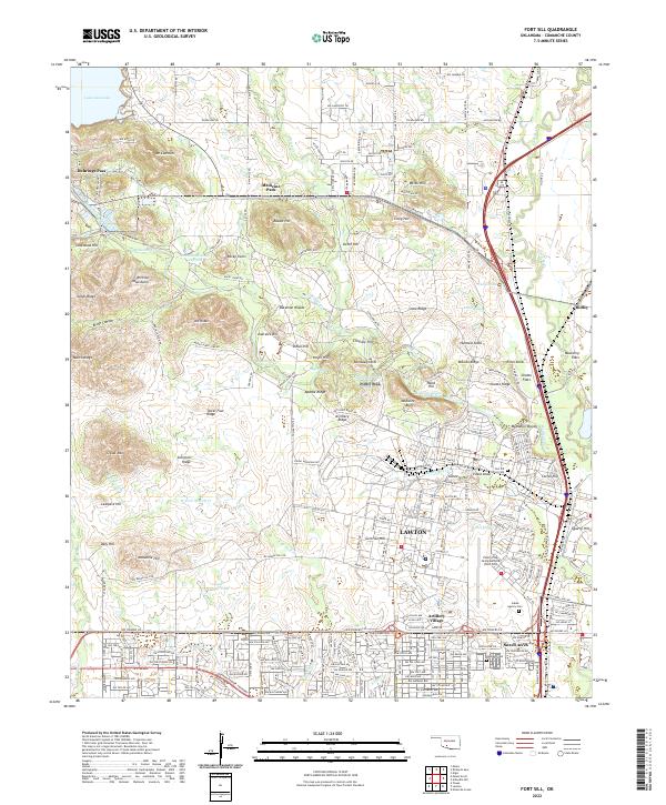
2022 Map of Fort Sill
USGS Topo · Published 2022About this map
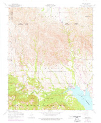
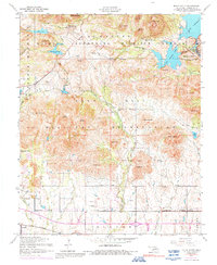
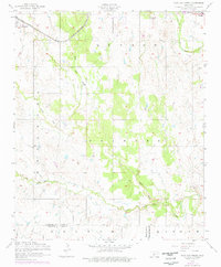
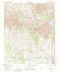
The Wichita Mountains anchor the northwestern portion of this region, where the terrain breaks into distinct peaks like Mt Cummins and Signal Mtn. This landscape transitions into the administrative and military corridor of Lawton, characterized by the sprawling infrastructure of Henry Post Army Airfield (Fort Sill) and residential clusters such as Artillery Village and Sneed Acres. The historic presence of the military installation is underscored by the Fort Sill Post Cem, while the Indian Agency Cem to the south reflects the deeper cultural layers of the territory.
Find a feature on this map
158 named features on this map. Tap any name to fly to it.
Don’t see what you’re looking for? This feature index may not catch every label — zoom into the map to look around manually.
Map Details
Editions of this 2022 Fort Sill Map
This is the sole edition of this map. No revisions or reprints were ever made.
Historical Maps of Corral Crossing Through Time
47 maps found

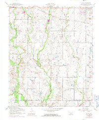
1937 Quanah Mountain
Comanche County, OK

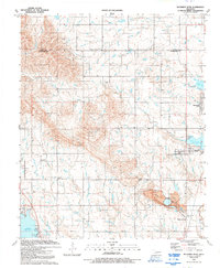
1949 Arbuckle Hill
Comanche County, OK

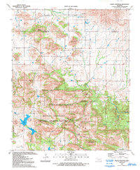
1949 Fort Sill
Comanche County, OK

1949 Mount Scott
Comanche County, OK

1949 Nellie
Comanche County, OK

1949 Quanah Mountain
Comanche County, OK

1950 Saddle Mountain
Comanche County, OK
1956 Arbuckle Hill
Comanche County, OK
1956 Fort Sill
Comanche County, OK
1956 Letitia
Comanche County, OK
1956 Meers
Comanche County, OK
1956 Mount Scott
Comanche County, OK

1956 Nellie
Comanche County, OK
1956 Ninemile Creek
Comanche County, OK
1956 Odetta
Comanche County, OK
1956 Post Oak Creek
Comanche County, OK
1956 Quanah Mountain
Comanche County, OK
1956 Richards Spur
Comanche County, OK

1956 Saddle Mountain
Comanche County, OK
1956 Saddle Mountain
Comanche County, OK
1956 Taupa
Comanche County, OK

1991 Arbuckle Hill
Comanche County, OK

1991 Fort Sill
Comanche County, OK

1991 Letitia
Comanche County, OK

1991 Meers
Comanche County, OK

1991 Mount Scott
Comanche County, OK

1991 Ninemile Creek
Comanche County, OK

1991 Odetta
Comanche County, OK

1991 Post Oak Creek
Comanche County, OK

1991 Quanah Mountain
Comanche County, OK
1991 Richards Spur
Comanche County, OK
1991 Saddle Mountain
Comanche County, OK

1991 Taupa
Comanche County, OK

1997 Mount Scott
Comanche County, OK

1997 Quanah Mountain
Comanche County, OK
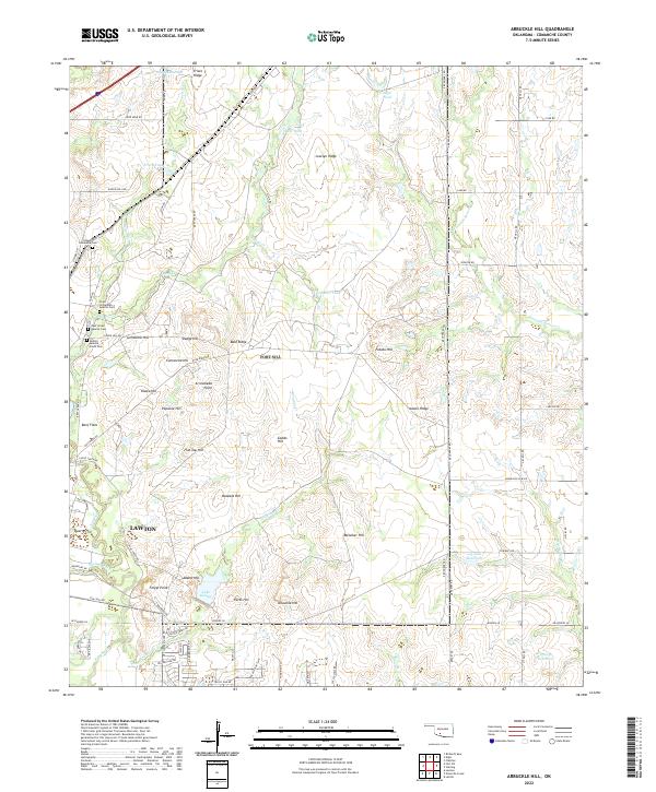
2022 Arbuckle Hill
Comanche County, OK
2022 Fort Sill
Comanche County, OK
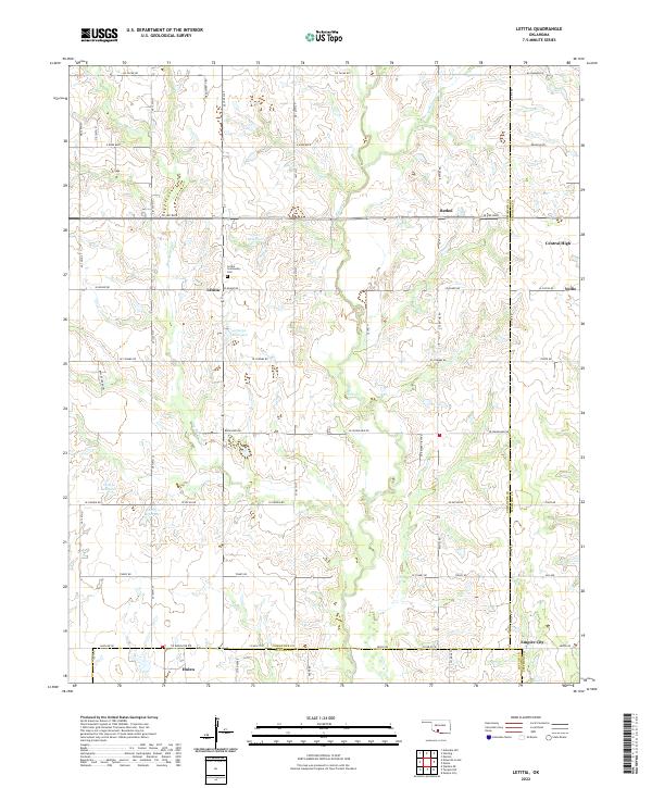
2022 Letitia
Comanche County, OK
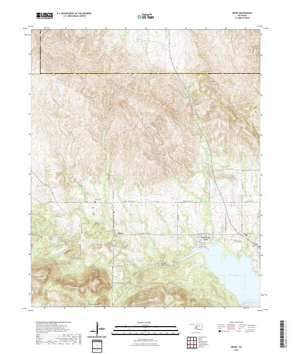
2022 Meers
Comanche County, OK
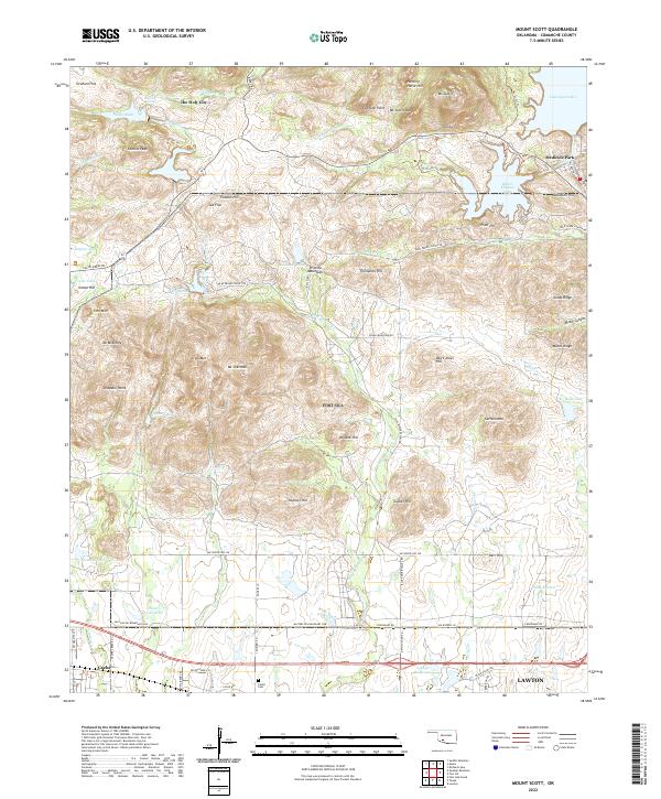
2022 Mount Scott
Comanche County, OK
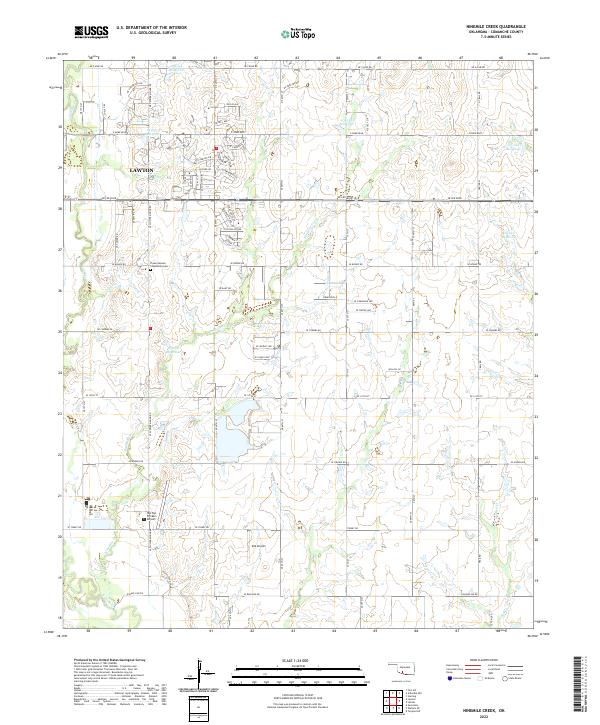
2022 Ninemile Creek
Comanche County, OK
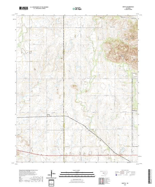
2022 Odetta
Comanche County, OK
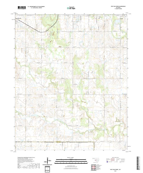
2022 Post Oak Creek
Comanche County, OK
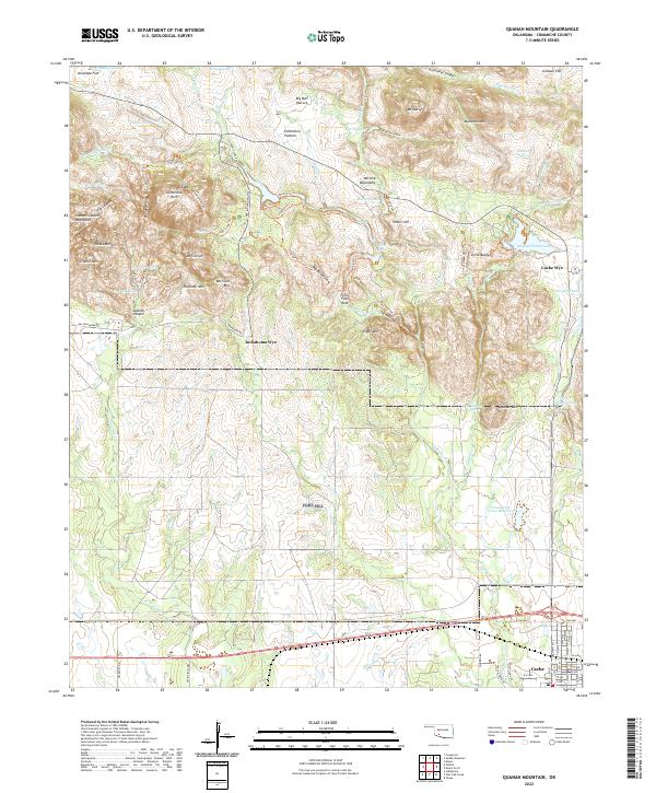
2022 Quanah Mountain
Comanche County, OK
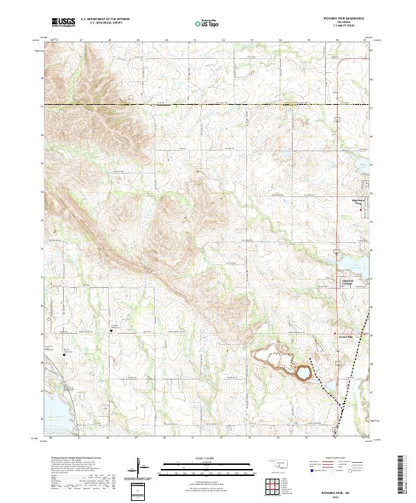
2022 Richards Spur
Comanche County, OK
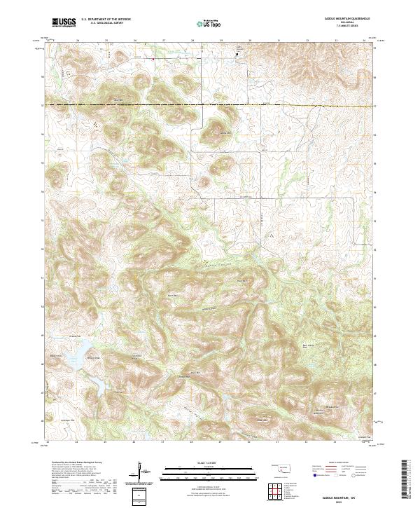
2022 Saddle Mountain
Comanche County, OK
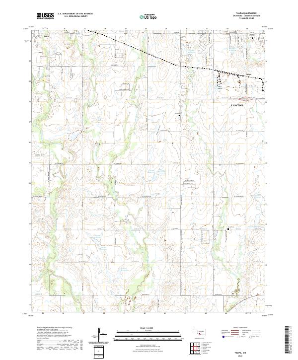
2022 Taupa
Comanche County, OK