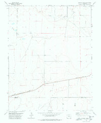
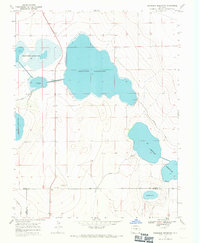
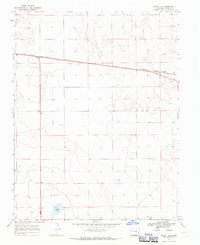
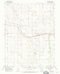
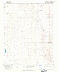
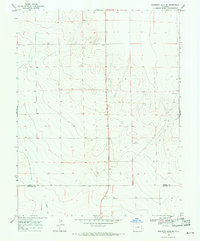
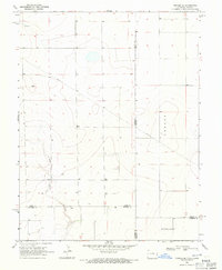
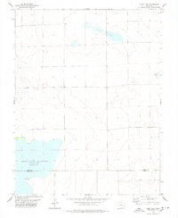
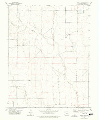
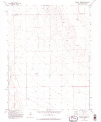
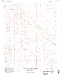
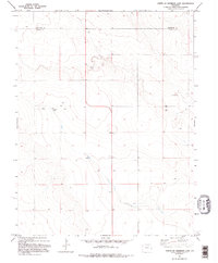
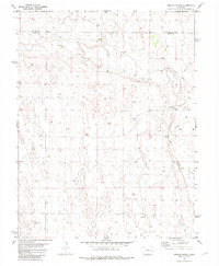
1978 Map of Houston Lakes
USGS Topo · Published 1978This historical map portrays the area of Houston Lakes in 1978, primarily covering Kiowa County as well as portions of Bent County and Otero County. Featuring a scale of 1:24000, this map provides a highly detailed snapshot of the terrain, roads, buildings, counties, and historical landmarks in the Houston Lakes region at the time. Published in 1978, it is one of 2 known editions of this map due to revisions or reprints.
Find a feature on this map
13 named features on this map. Tap any name to fly to it.
Don’t see what you’re looking for? This feature index may not catch every label — zoom into the map to look around manually.
Map Details
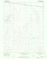
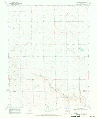
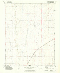
Editions of this 1978 Houston Lakes Map
2 editions found
Historical Maps of Kiowa County Through Time
27 maps found
1967 Neenoshe Reservoir
Kiowa County, CO
1968 Alkali Lake
Kiowa County, CO
1968 Chivington
Kiowa County, CO
1968 Chivington SE
Kiowa County, CO
1968 Hawkins
Kiowa County, CO
1968 Lake Devore
Kiowa County, CO
1968 Rose Ranch
Kiowa County, CO
1968 Sheridan Lake SE
Kiowa County, CO
1968 Sheridan Lake SW
Kiowa County, CO
1968 Stuart
Kiowa County, CO
1968 Swede Lake
Kiowa County, CO
1968 Towner SE
Kiowa County, CO
1974 Arlington NE
Kiowa County, CO
1974 Haswell SE
Kiowa County, CO
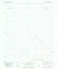
1978 Arlington
Kiowa County, CO
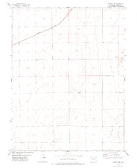
1978 Galatea
Kiowa County, CO
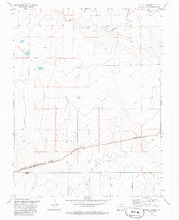
1978 Haswell NE
Kiowa County, CO
1978 Houston Lakes
Kiowa County, CO
1978 Long Lake
Kiowa County, CO
1978 Trimble Lake
Kiowa County, CO
1982 Arsenic Lake SW
Kiowa County, CO
1982 Dunlap Ranch
Kiowa County, CO
1982 Lake Albert
Kiowa County, CO
1982 North Of Brandon
Kiowa County, CO
1982 North Of Chivington
Kiowa County, CO
1982 North Of Sheridan Lake
Kiowa County, CO
1982 Oswald Ranch
Kiowa County, CO