
2022 Map of Kalinke
USGS Topo · Published 2022About this map
Kalinke and Glandon anchor this 2022 survey of central Wisconsin, where the terrain is defined by a dense network of watercourses and rural corridors. The Trappe River winds through the northern sections, joined by tributaries like Prospect Creek and Skunk Creek, while the Big Sandy Creek and its eastern branch dominate the southern drainage. The settlement at Sunset marks the southwestern edge of the quadrangle, illustrating the persistent small-town footprint of Marathon County. Cultural landmarks such as Zion Cemetery and Calvary Cemetery provide important points of reference for genealogists. The presence of the Knight Sky Airport near Kalinke highlights the modern utility of these rural landscapes. This map also preserves the precise county lines where Lincoln, Marathon, and Langlade counties meet, making it a reliable resource for property and historical research.
Find a feature on this map
55 named features on this map. Tap any name to fly to it.
Don’t see what you’re looking for? This feature index may not catch every label — zoom into the map to look around manually.
Map Details
Editions of this 2022 Kalinke Map
This is the sole edition of this map. No revisions or reprints were ever made.
Historical Maps of Ackley Through Time
54 maps found

1902 Marathon
Marathon County, WI

1951 Doering
Marathon County, WI

1953 Marathon
Marathon County, WI

1963 Marathon
Marathon County, WI

1963 Wausau East
Marathon County, WI

1963 Wausau West
Marathon County, WI

1969 Rosholt NW
Marathon County, WI

1970 Big Eau Pleine Reservoir
Marathon County, WI

1970 Dancy
Marathon County, WI

1970 Dewey Marsh
Marathon County, WI

1970 Honey Island
Marathon County, WI

1973 Hogarty
Marathon County, WI

1973 Kalinke
Marathon County, WI

1978 Hamburg
Marathon County, WI

1978 Little Chicago
Marathon County, WI

1980 Corinth
Marathon County, WI

1981 Halder
Marathon County, WI

1981 Little Rose
Marathon County, WI

1981 Marathon
Marathon County, WI

1981 Marathon SW
Marathon County, WI

1981 Milan
Marathon County, WI

1982 Bevent
Marathon County, WI

1982 Brokaw
Marathon County, WI

1982 Mission Lake
Marathon County, WI

1982 Nutterville
Marathon County, WI

1982 Peplin
Marathon County, WI

1982 Ringle
Marathon County, WI

1982 Wien
Marathon County, WI

1993 Wausau East
Marathon County, WI

1993 Wausau West
Marathon County, WI

2022 Bevent
Marathon County, WI

2022 Big Eau Pleine Reservoir
Marathon County, WI

2022 Brokaw
Marathon County, WI

2022 Corinth
Marathon County, WI

2022 Dancy
Marathon County, WI

2022 Dewey Marsh
Marathon County, WI

2022 Halder
Marathon County, WI

2022 Hamburg
Marathon County, WI

2022 Hogarty
Marathon County, WI

2022 Honey Island
Marathon County, WI
2022 Kalinke
Marathon County, WI

2022 Little Chicago
Marathon County, WI

2022 Little Rose
Marathon County, WI

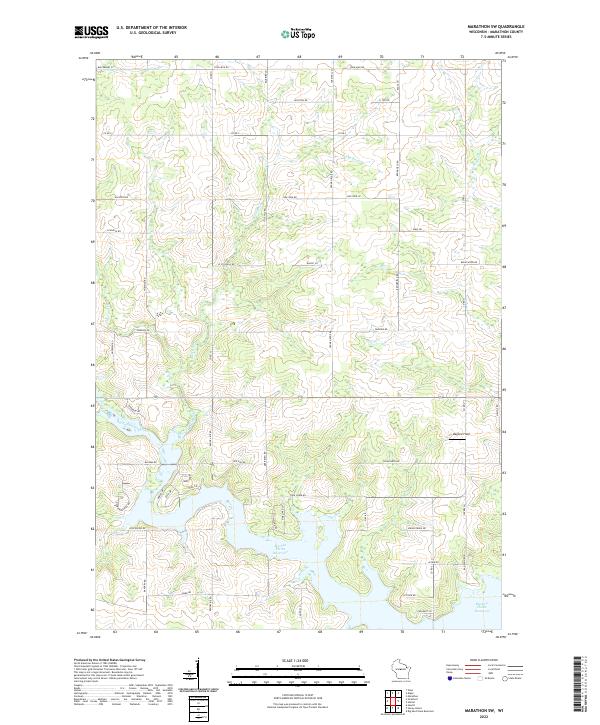
2022 Marathon
Marathon County, WI
2022 Marathon SW
Marathon County, WI

2022 Milan
Marathon County, WI

2022 Mission Lake
Marathon County, WI

2022 Nutterville
Marathon County, WI

2022 Peplin
Marathon County, WI
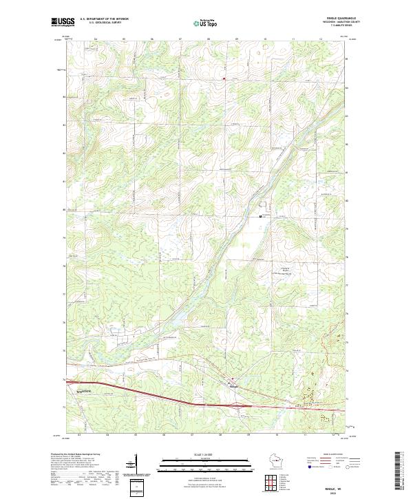
2022 Ringle
Marathon County, WI

2022 Rosholt NW
Marathon County, WI

2022 Wausau East
Marathon County, WI

2022 Wausau West
Marathon County, WI

2022 Wien
Marathon County, WI