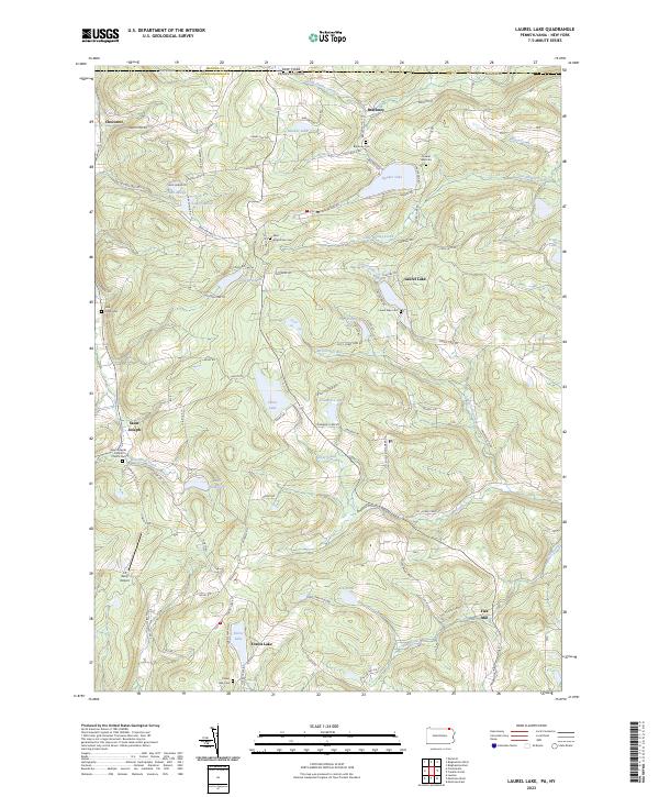
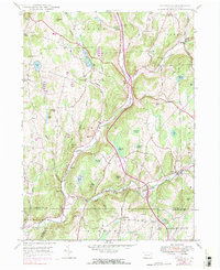
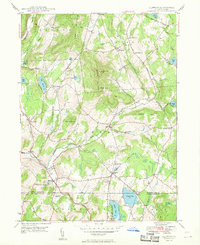
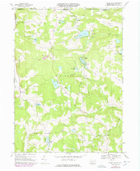
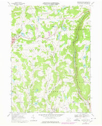
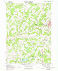
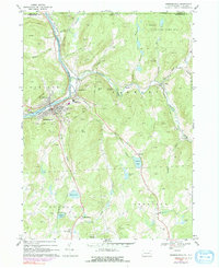
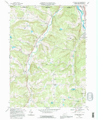
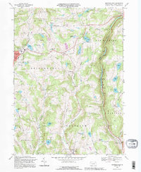
2023 Map of Laurel Lake
USGS Topo · Published 2023About this map
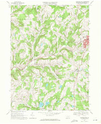
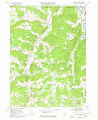
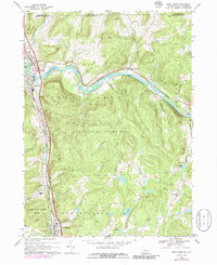
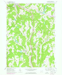
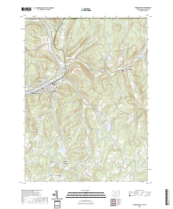
Choconut and Brackney anchor this rural landscape in Susquehanna County, Pennsylvania, just south of the New York-Pennsylvania state line. The terrain is defined by a dense concentration of glacial lakes and small settlements, including the community of Laurel Lake and the religious center at Saint Joseph, which features the Saint Josephs Catholic Church. This area maintains a strong connection to its 19th-century roots through numerous family and community burial grounds such as John Locke Cem, Quaker Lake Cem, and Saint Augustines Cem. Small-scale industry and local services are represented by Fisk Mill and Reilly Airport, while the hydrography is dominated by bodies like Quaker Lake, Silver Lake, and Lake Sophia. The network of roads, including Quaker Lake Rd and State Rte 4007, follows the natural contours and valleys of the northern Tier.
Find a feature on this map
74 named features on this map. Tap any name to fly to it.
Don’t see what you’re looking for? This feature index may not catch every label — zoom into the map to look around manually.
Map Details
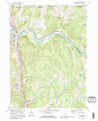
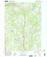
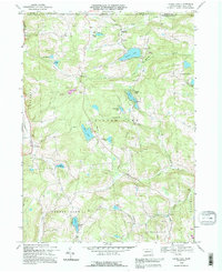
Editions of this 2023 Laurel Lake Map
This is the sole edition of this map. No revisions or reprints were ever made.
Historical Maps of Vestal Through Time
43 maps found

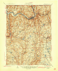
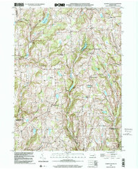
1932 Susquehanna
Susquehanna County, PA
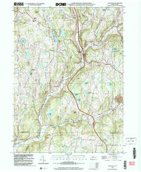
1935 Susquehanna
Susquehanna County, PA
1945 Auburn Center
Susquehanna County, PA
1946 Clifford
Susquehanna County, PA
1946 Lenoxville
Susquehanna County, PA
1946 Springville
Susquehanna County, PA
1947 Auburn Center
Susquehanna County, PA
1947 Hopbottom
Susquehanna County, PA
1948 Clifford
Susquehanna County, PA
1948 Springville
Susquehanna County, PA
1949 Clifford
Susquehanna County, PA

1949 Lenoxville
Susquehanna County, PA
1967 Lawton
Susquehanna County, PA
1967 Montrose West
Susquehanna County, PA
1968 Franklin Forks
Susquehanna County, PA
1968 Great Bend
Susquehanna County, PA
1968 Harford
Susquehanna County, PA
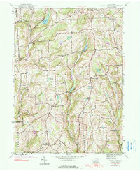
1968 Laurel Lake
Susquehanna County, PA
1968 Montrose East
Susquehanna County, PA
1968 Montrose West
Susquehanna County, PA
1968 Susquehanna
Susquehanna County, PA
1992 Franklin Forks
Susquehanna County, PA
1992 Great Bend
Susquehanna County, PA
1992 Harford
Susquehanna County, PA
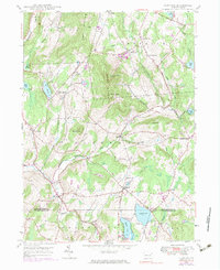
1992 Laurel Lake
Susquehanna County, PA
1992 Montrose East
Susquehanna County, PA
1994 Clifford
Susquehanna County, PA
1994 Montrose West
Susquehanna County, PA
1994 Susquehanna
Susquehanna County, PA
1999 Auburn Center
Susquehanna County, PA
1999 Lenoxville
Susquehanna County, PA
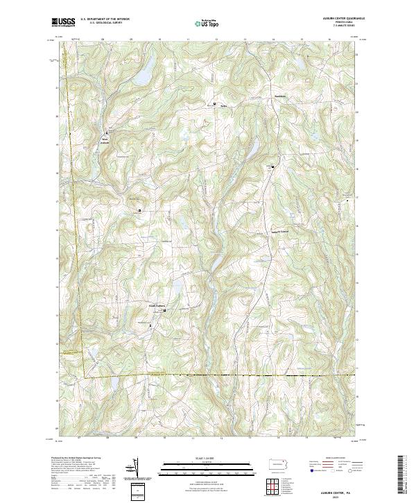
2023 Auburn Center
Susquehanna County, PA
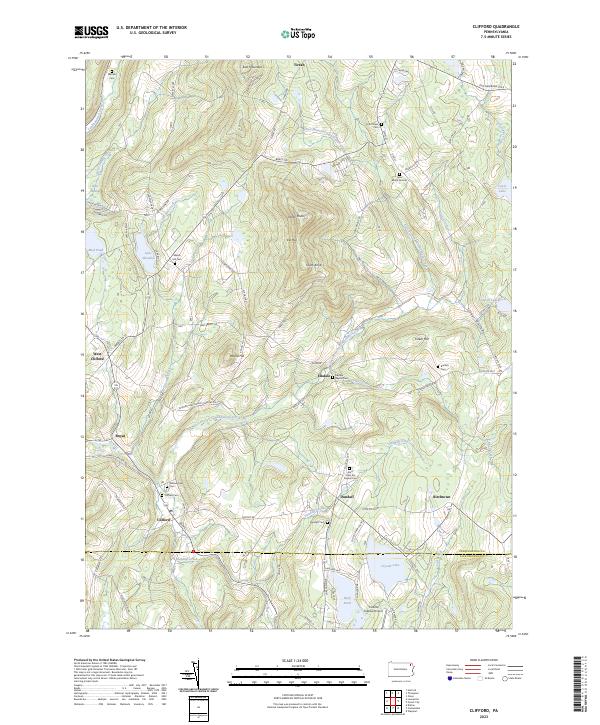
2023 Clifford
Susquehanna County, PA
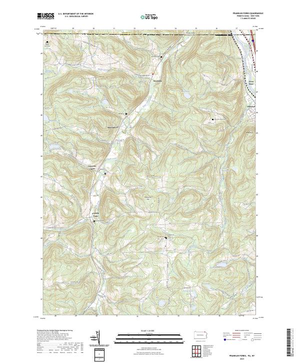
2023 Franklin Forks
Susquehanna County, PA
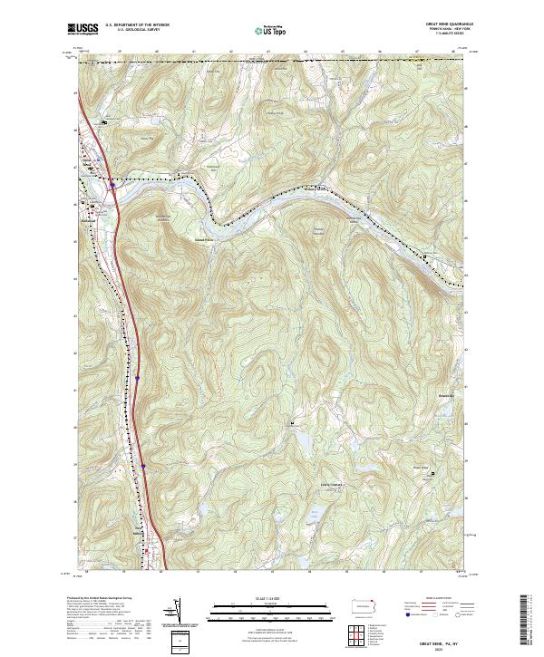
2023 Great Bend
Susquehanna County, PA
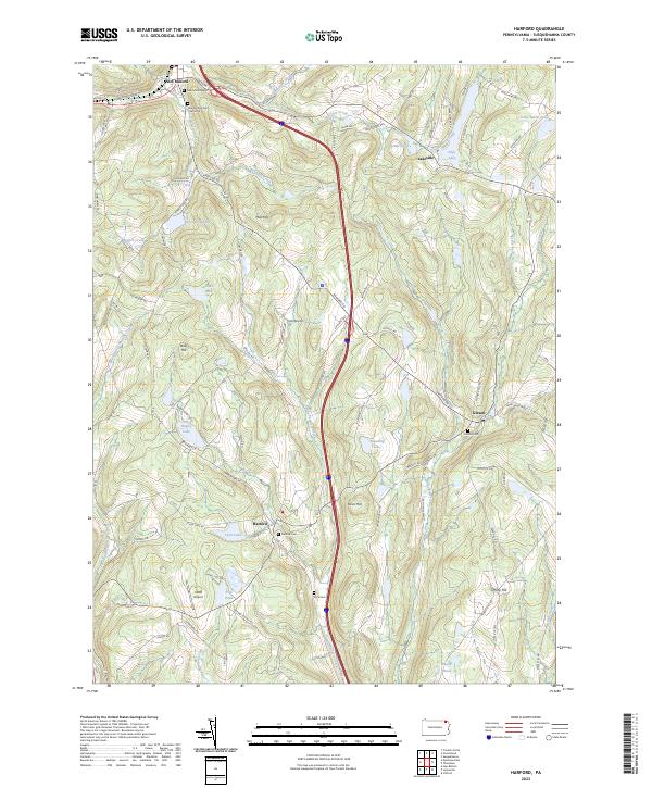
2023 Harford
Susquehanna County, PA
2023 Laurel Lake
Susquehanna County, PA
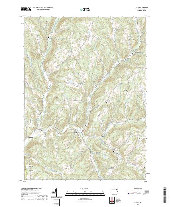
2023 Lawton
Susquehanna County, PA
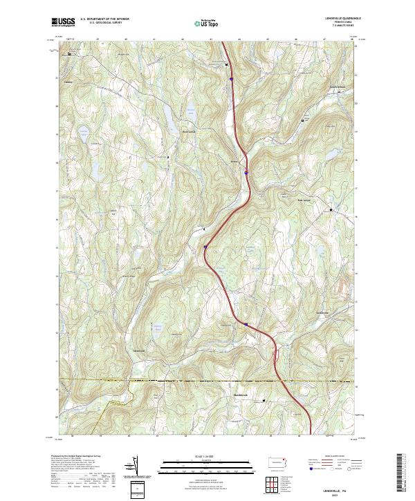
2023 Lenoxville
Susquehanna County, PA
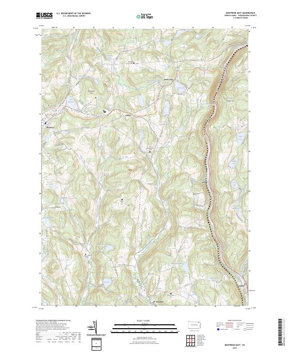
2023 Montrose East
Susquehanna County, PA
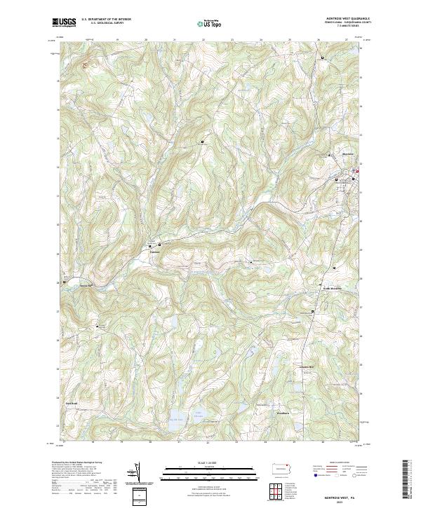
2023 Montrose West
Susquehanna County, PA
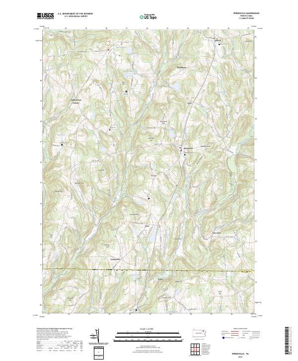
2023 Springville
Susquehanna County, PA
2023 Susquehanna
Susquehanna County, PA