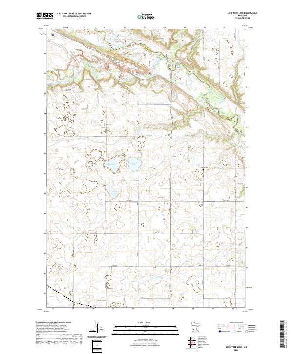
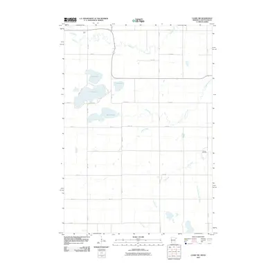
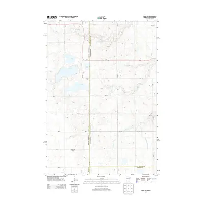
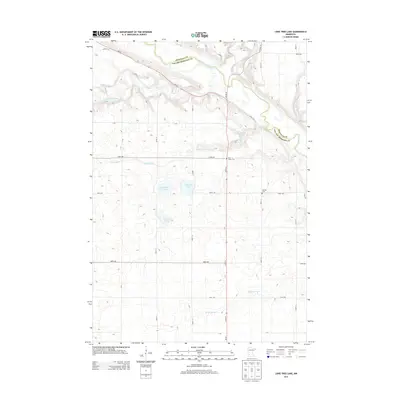
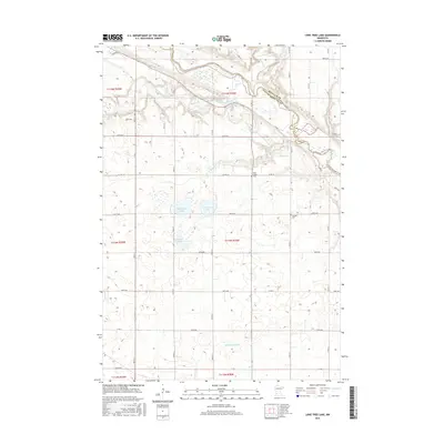
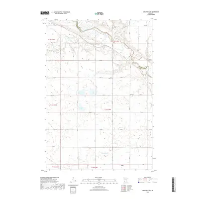
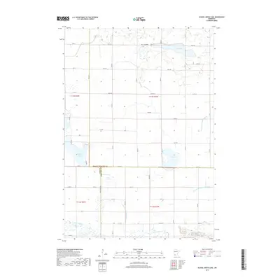
2022 Map of Lone Tree Lake
USGS Topo · Published 2022About this map
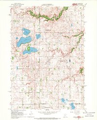
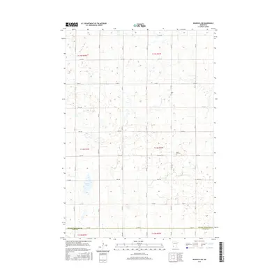
The Minnesota River and Yellow Medicine River converge in the northern portion of this quadrangle, defining the border between Renville County and Yellow Medicine County. The landscape south of the river bluffs is characterized by a high concentration of glacial prairie potholes and lakes, including the namesake Lone Tree Lake, Highbank Lake, and Kvistid Lake. Historical transit patterns are preserved in the naming of local routes such as Stagecoach Trl and Gopher Trl, which navigate the elevation changes near the river valley. Genealogists can identify significant burial sites in the rural landscape, specifically Rock Valley Cem located near Wood Lake Cr and Hillside Cem further east. The southern reaches of the map are defined by drainage into Boiling Spring Cr, showcasing the agricultural grid typical of this region.
Find a feature on this map
63 named features on this map. Tap any name to fly to it.
Don’t see what you’re looking for? This feature index may not catch every label — zoom into the map to look around manually.
Map Details
Editions of this 2022 Lone Tree Lake Map
This is the sole edition of this map. No revisions or reprints were ever made.
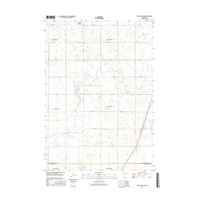
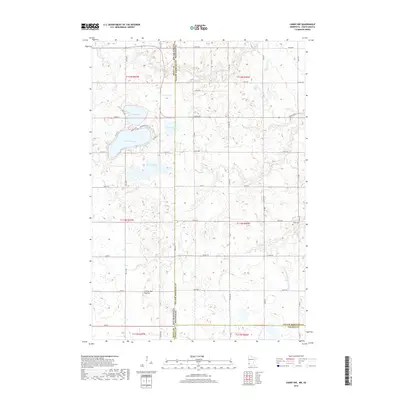
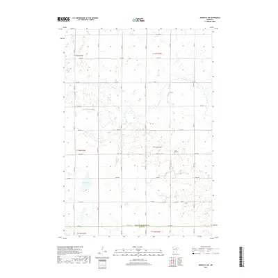
Historical Maps of Echo Through Time
42 maps found
1962 School Grove Lake
Yellow Medicine County, MN
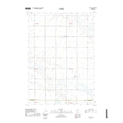
1962 Wood Lake NW
Yellow Medicine County, MN
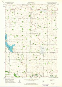
1965 Lone Tree Lake
Yellow Medicine County, MN
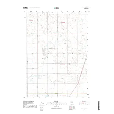
1967 Canby NW
Yellow Medicine County, MN
1967 Minneota NW
Yellow Medicine County, MN
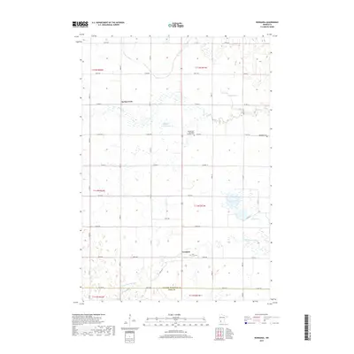
1967 Normania
Yellow Medicine County, MN
1967 St Leo
Yellow Medicine County, MN
2010 Canby NW
Yellow Medicine County, MN
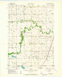
2010 Lone Tree Lake
Yellow Medicine County, MN
2010 Minneota NW
Yellow Medicine County, MN
2010 Normania
Yellow Medicine County, MN
2010 Saint Leo
Yellow Medicine County, MN
2010 School Grove Lake
Yellow Medicine County, MN
2010 Wood Lake NW
Yellow Medicine County, MN
2013 Canby NW
Yellow Medicine County, MN
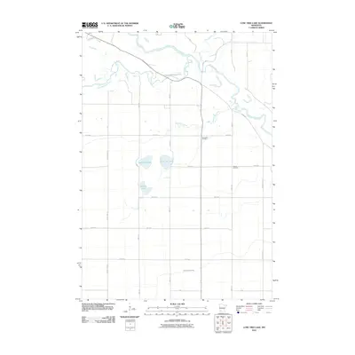
2013 Lone Tree Lake
Yellow Medicine County, MN
2013 Minneota NW
Yellow Medicine County, MN
2013 Normania
Yellow Medicine County, MN
2013 Saint Leo
Yellow Medicine County, MN
2013 School Grove Lake
Yellow Medicine County, MN
2013 Wood Lake NW
Yellow Medicine County, MN
2016 Canby NW
Yellow Medicine County, MN
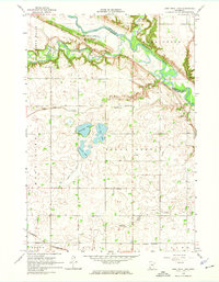
2016 Lone Tree Lake
Yellow Medicine County, MN
2016 Minneota NW
Yellow Medicine County, MN
2016 Normania
Yellow Medicine County, MN
2016 Saint Leo
Yellow Medicine County, MN
2016 School Grove Lake
Yellow Medicine County, MN
2016 Wood Lake NW
Yellow Medicine County, MN
2019 Canby NW
Yellow Medicine County, MN
2019 Lone Tree Lake
Yellow Medicine County, MN
2019 Minneota NW
Yellow Medicine County, MN
2019 Normania
Yellow Medicine County, MN
2019 Saint Leo
Yellow Medicine County, MN
2019 School Grove Lake
Yellow Medicine County, MN
2019 Wood Lake NW
Yellow Medicine County, MN
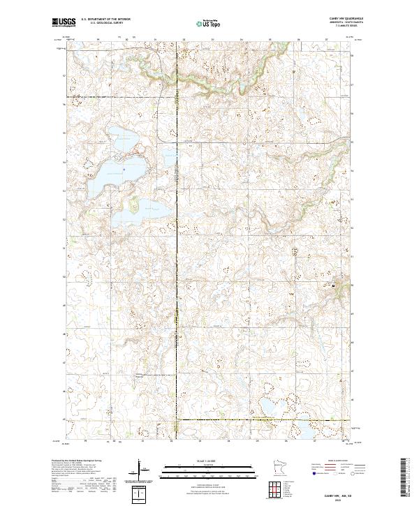
2022 Canby NW
Yellow Medicine County, MN
2022 Lone Tree Lake
Yellow Medicine County, MN
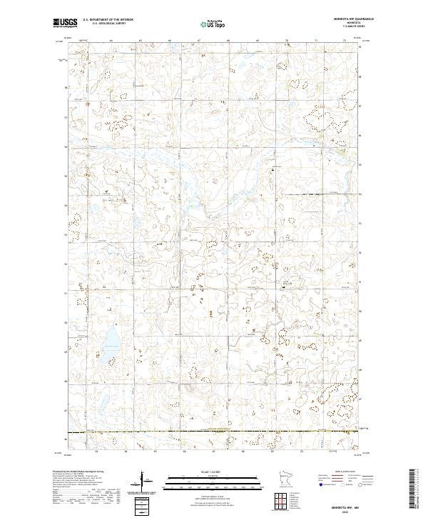
2022 Minneota NW
Yellow Medicine County, MN
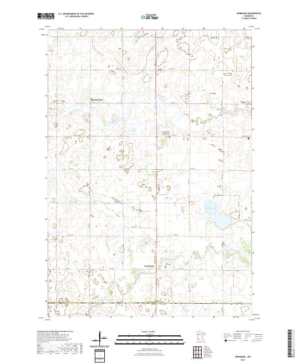
2022 Normania
Yellow Medicine County, MN
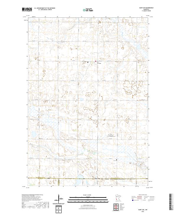
2022 Saint Leo
Yellow Medicine County, MN
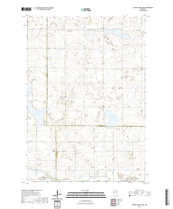
2022 School Grove Lake
Yellow Medicine County, MN
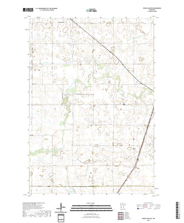
2022 Wood Lake NW
Yellow Medicine County, MN