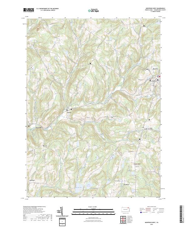
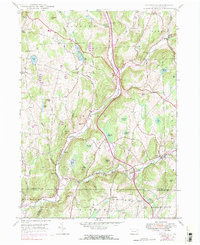
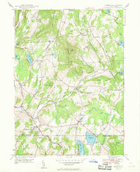
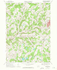
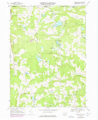
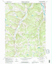
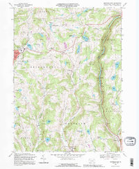
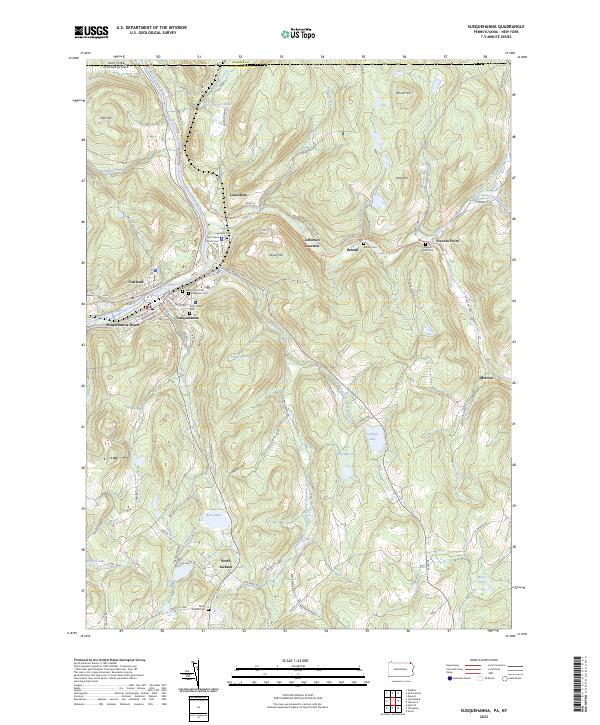
2023 Map of Montrose West
USGS Topo · Published 2023This historical map portrays the area of Montrose West in 2023, primarily covering Susquehanna County. Featuring a scale of 1:24000, this map provides a highly detailed snapshot of the terrain, roads, buildings, counties, and historical landmarks in the Montrose West region at the time. Published in 2023, it is the sole known edition of this map.
Map Details
Editions of this 2023 Montrose West Map
This is the sole edition of this map. No revisions or reprints were ever made.
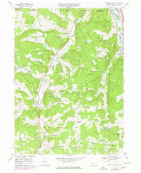
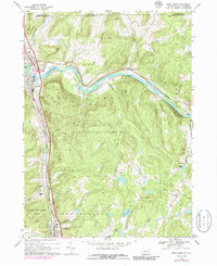
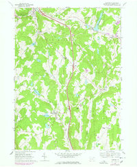
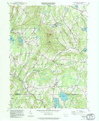
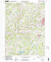
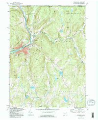
Historical Maps of Forest Lake Township Through Time
43 maps found

1932 Susquehanna
Susquehanna County, PA
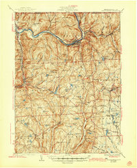
1935 Susquehanna
Susquehanna County, PA
1945 Auburn Center
Susquehanna County, PA
1946 Clifford
Susquehanna County, PA
1946 Lenoxville
Susquehanna County, PA
1946 Springville
Susquehanna County, PA
1947 Auburn Center
Susquehanna County, PA
1947 Hopbottom
Susquehanna County, PA
1948 Clifford
Susquehanna County, PA
1948 Springville
Susquehanna County, PA
1949 Clifford
Susquehanna County, PA

1949 Lenoxville
Susquehanna County, PA
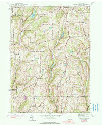
1967 Lawton
Susquehanna County, PA
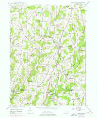
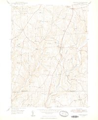
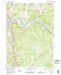
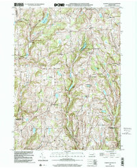
1967 Montrose West
Susquehanna County, PA
1968 Franklin Forks
Susquehanna County, PA
1968 Great Bend
Susquehanna County, PA
1968 Harford
Susquehanna County, PA
1968 Laurel Lake
Susquehanna County, PA
1968 Montrose East
Susquehanna County, PA
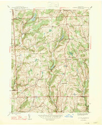
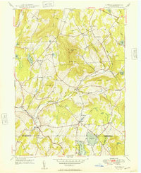
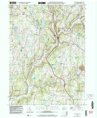
1968 Montrose West
Susquehanna County, PA
1968 Susquehanna
Susquehanna County, PA
1992 Franklin Forks
Susquehanna County, PA
1992 Great Bend
Susquehanna County, PA
1992 Harford
Susquehanna County, PA
1992 Laurel Lake
Susquehanna County, PA
1992 Montrose East
Susquehanna County, PA
1994 Clifford
Susquehanna County, PA
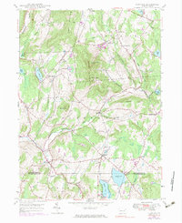
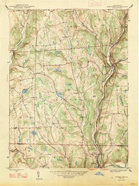
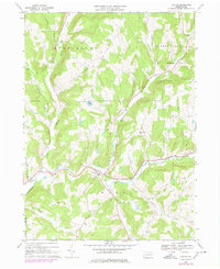
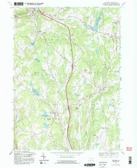
1994 Montrose West
Susquehanna County, PA
1994 Susquehanna
Susquehanna County, PA
1999 Auburn Center
Susquehanna County, PA
1999 Lenoxville
Susquehanna County, PA
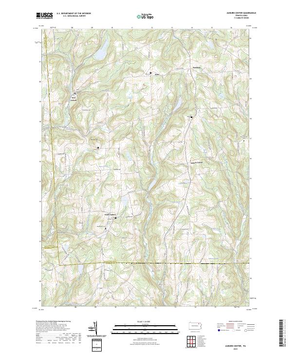
2023 Auburn Center
Susquehanna County, PA
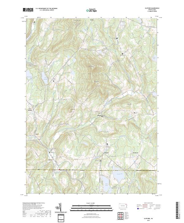
2023 Clifford
Susquehanna County, PA
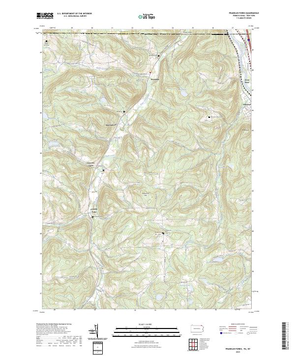
2023 Franklin Forks
Susquehanna County, PA
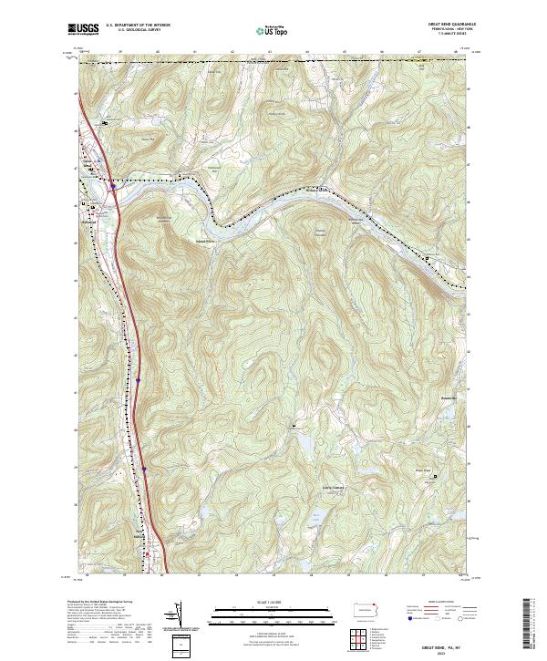
2023 Great Bend
Susquehanna County, PA
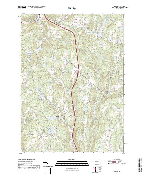
2023 Harford
Susquehanna County, PA
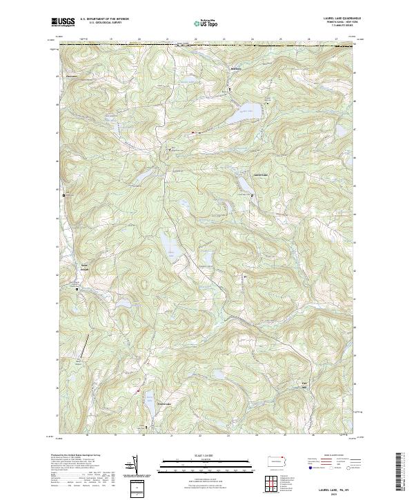
2023 Laurel Lake
Susquehanna County, PA
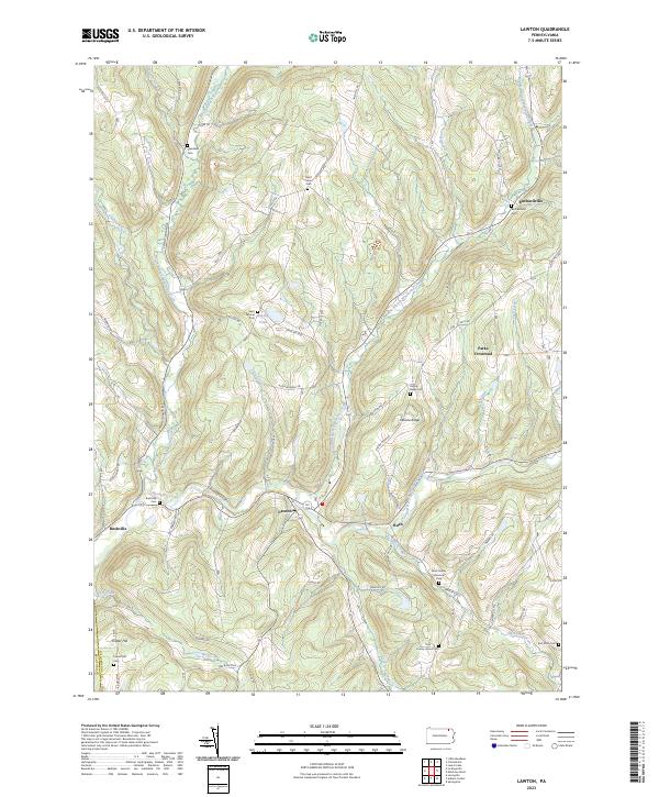
2023 Lawton
Susquehanna County, PA
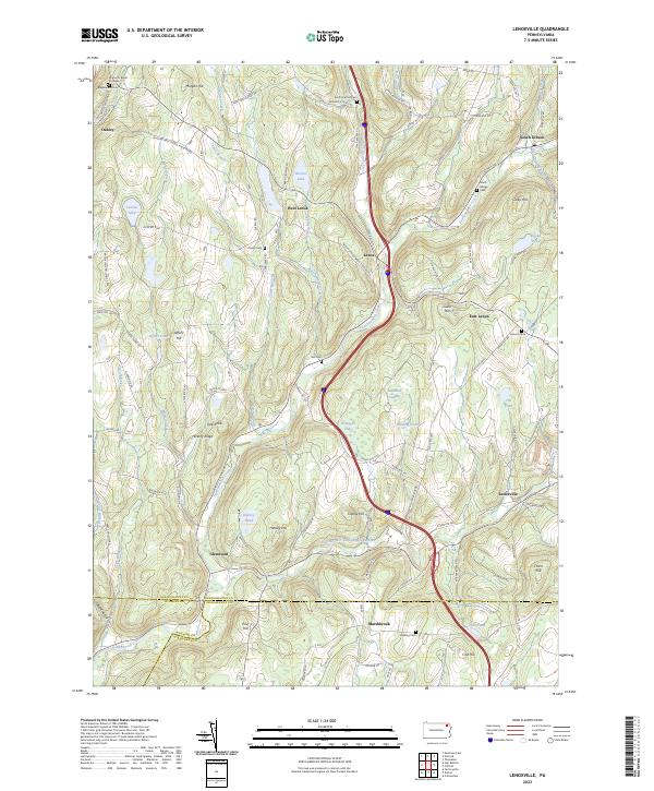
2023 Lenoxville
Susquehanna County, PA
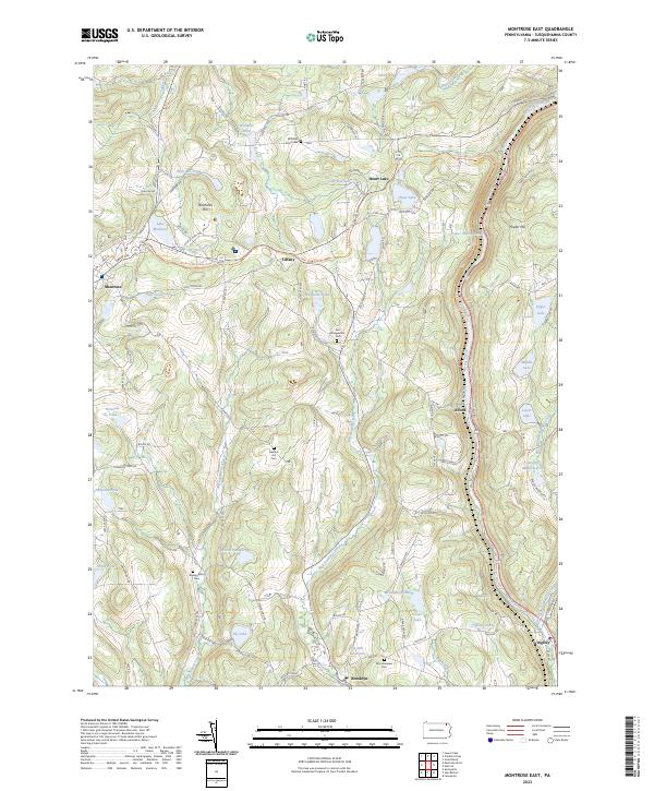
2023 Montrose East
Susquehanna County, PA
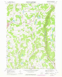
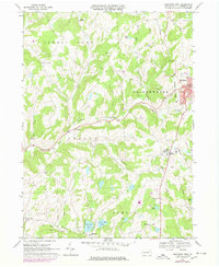
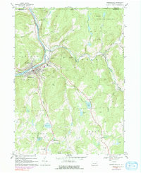
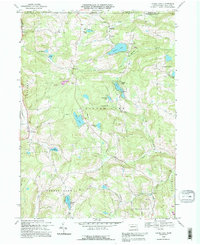
2023 Montrose West
Susquehanna County, PA
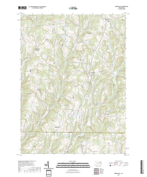
2023 Springville
Susquehanna County, PA
2023 Susquehanna
Susquehanna County, PA