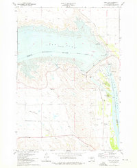
1973 Map of Oahe Dam
USGS Topo · Published 1976This historical map portrays the area of Oahe Dam in 1973, primarily covering Stanley County as well as portions of Hughes County. Featuring a scale of 1:24000, this map provides a highly detailed snapshot of the terrain, roads, buildings, counties, and historical landmarks in the Oahe Dam region at the time. Published in 1976, it is the sole known edition of this map.
Map Details
Editions of this 1973 Oahe Dam Map
This is the sole edition of this map. No revisions or reprints were ever made.
Historical Maps of Stanley County Through Time
27 maps found
1937 Oahe
Stanley County, SD
1951 Capa NW
Stanley County, SD
1951 Van Metre
Stanley County, SD
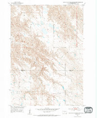
1953 Mouth of East Branch War Creek
Stanley County, SD
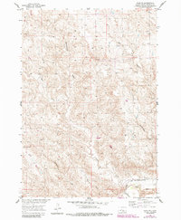
1953 Oahe SW
Stanley County, SD
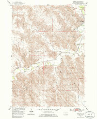
1953 Pierre SW
Stanley County, SD
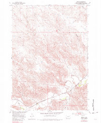
1953 Teton
Stanley County, SD
1953 Wendte NE
Stanley County, SD
1953 Wendte
Stanley County, SD
1956 Crockett Mountains
Stanley County, SD
1956 Sansarc NE
Stanley County, SD
1973 Antelope Island
Stanley County, SD
1973 Iron Post Buttes
Stanley County, SD
1973 Iron Post Buttes SW
Stanley County, SD

1973 Oahe Dam
Stanley County, SD
1973 Willow Creek Butte
Stanley County, SD
1980 Princes Ranch
Stanley County, SD
1982 Doty Ridge
Stanley County, SD
1982 Hayes South
Stanley County, SD
1982 Hohrman Ranch
Stanley County, SD
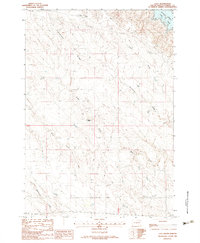
1982 Lacy
Stanley County, SD
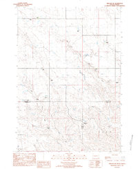
1982 Midland NE
Stanley County, SD
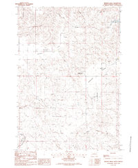
1982 Mission Ridge
Stanley County, SD
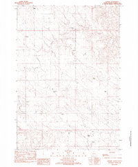
1982 Sansarc
Stanley County, SD
1983 Hayes North
Stanley County, SD
1983 Standing Butte
Stanley County, SD
1983 Standing Butte SW
Stanley County, SD