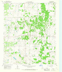
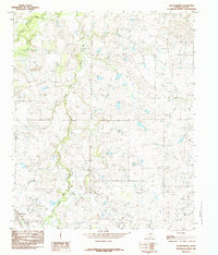
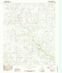
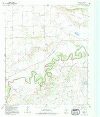
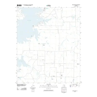
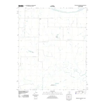
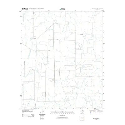
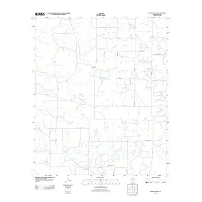
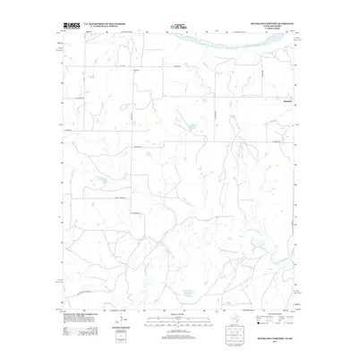
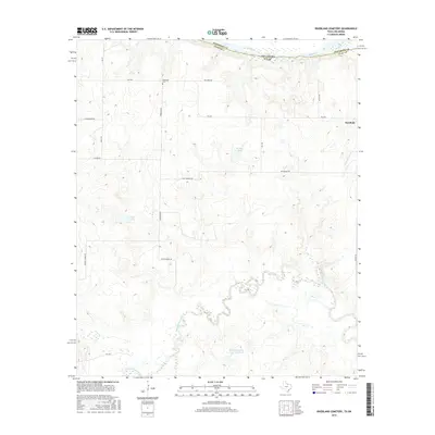
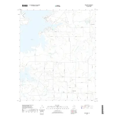
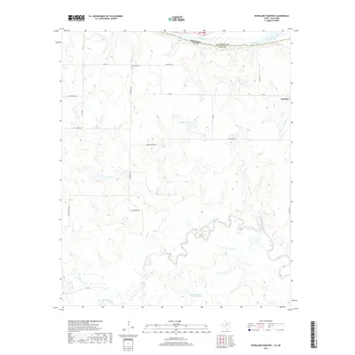
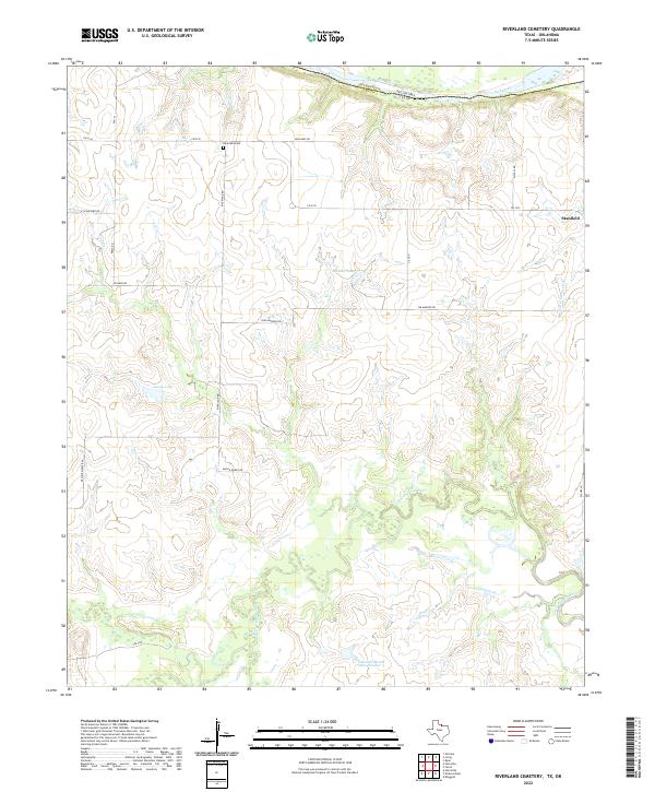
1985 Map of Riverland Cemetery
USGS Topo · Published 1985About this map
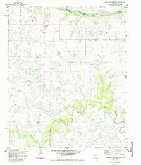
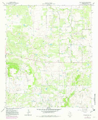
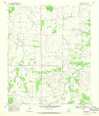
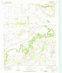
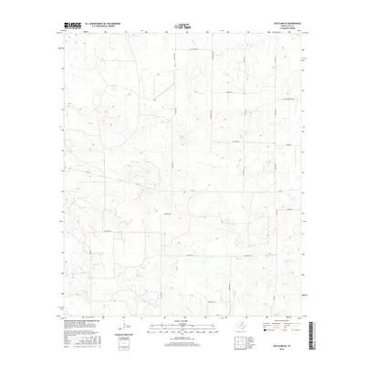
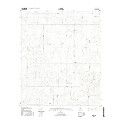
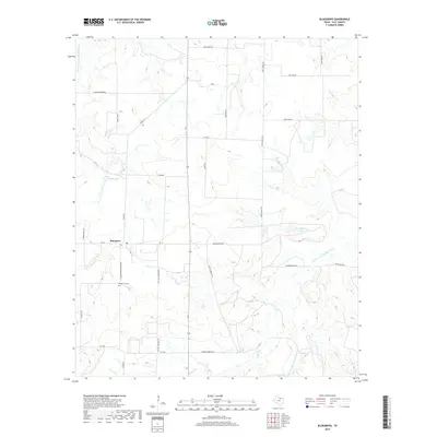
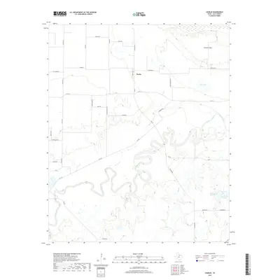
The Red River serves as the prominent boundary between Oklahoma and Texas along the northern edge of this mid-1980s survey. The landscape of Clay County is defined by the winding course of the Little Wichita River and its tributary, the East Fork Little Wichita River, which cut through the central and southern reaches of the map. Evidence of rural infrastructure is scattered throughout, including multiple instances of wells and a specific drill hole, indicating the region's relationship with subsurface resources.
Find a feature on this map
13 named features on this map. Tap any name to fly to it.
Don’t see what you’re looking for? This feature index may not catch every label — zoom into the map to look around manually.
Map Details
Editions of this 1985 Riverland Cemetery Map
This is the sole edition of this map. No revisions or reprints were ever made.
Historical Maps of Jefferson County Through Time
56 maps found
1957 Wichita Falls East
Clay County, TX
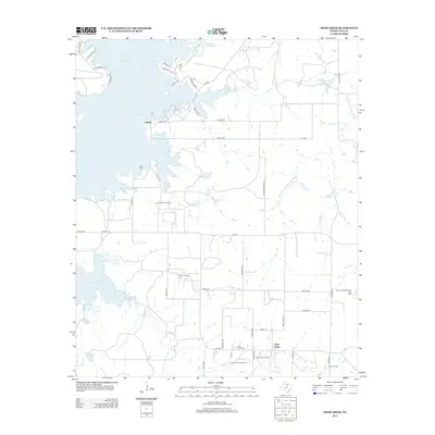
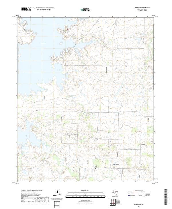
1963 Deer Creek
Clay County, TX
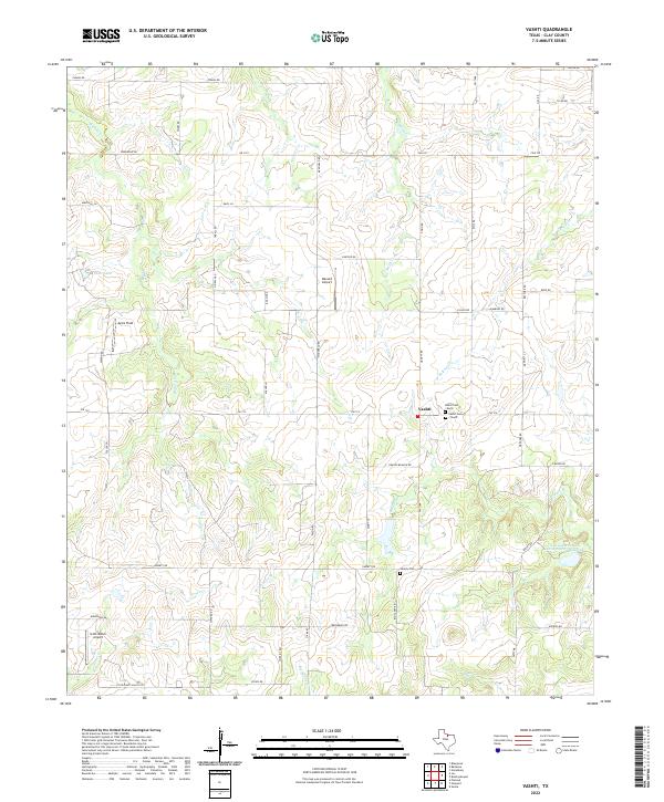
1963 Vashti
Clay County, TX
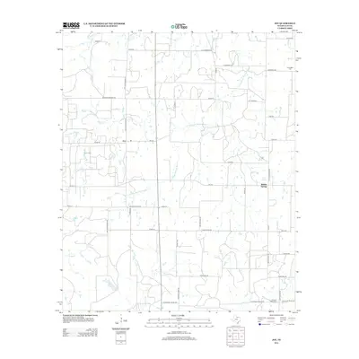
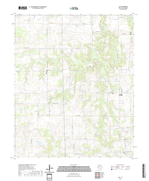
1964 Joy
Clay County, TX
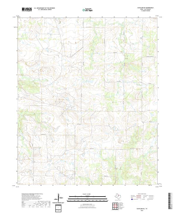
1964 Scotland SE
Clay County, TX
1968 Bluegrove
Clay County, TX
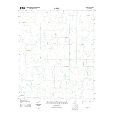
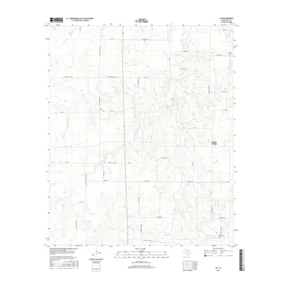
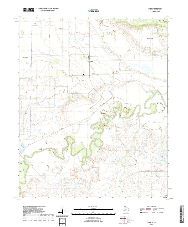
1972 Charlie
Clay County, TX
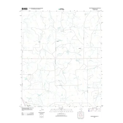
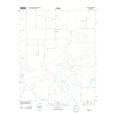
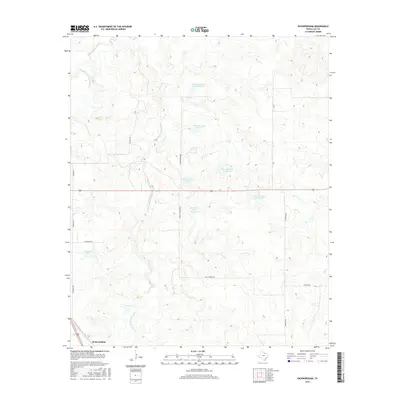
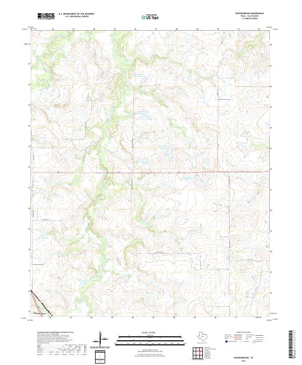
1984 Dickworsham
Clay County, TX
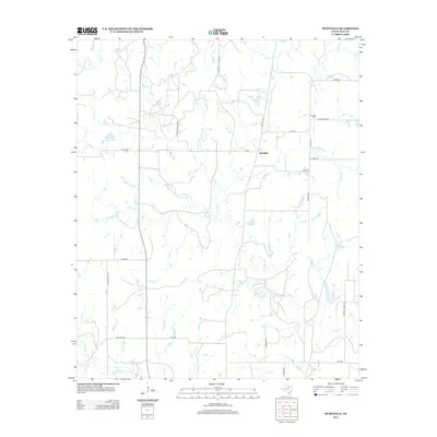
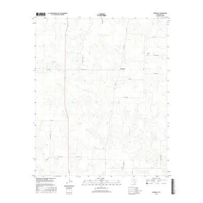
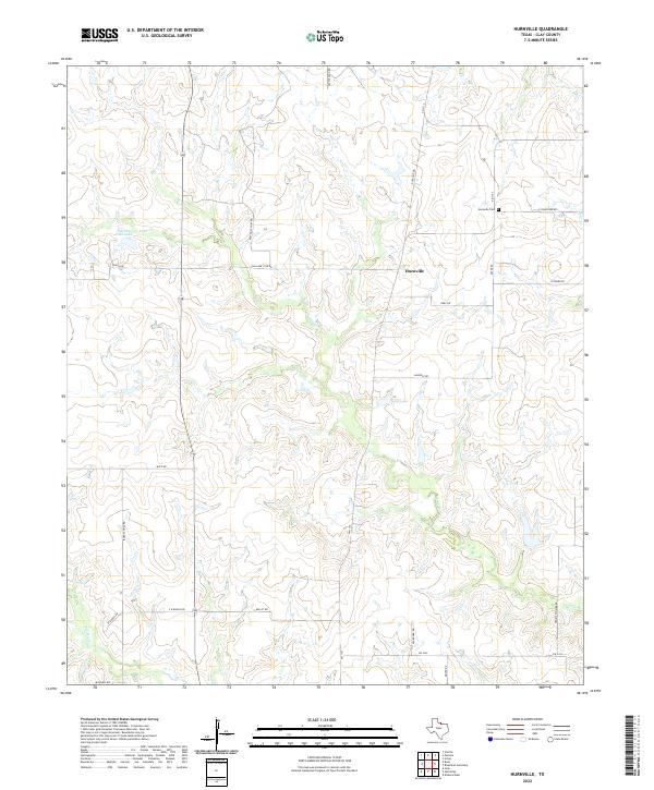
1984 Hurnville
Clay County, TX
1985 Riverland Cemetery
Clay County, TX
1991 Charlie
Clay County, TX
2010 Bluegrove
Clay County, TX
2010 Deer Creek
Clay County, TX
2010 Dickworsham
Clay County, TX
2010 Hurnville
Clay County, TX
2010 Joy
Clay County, TX
2010 Riverland Cemetery
Clay County, TX
2010 Scotland SE
Clay County, TX
2010 Vashti
Clay County, TX
2011 Charlie
Clay County, TX
2012 Bluegrove
Clay County, TX
2012 Deer Creek
Clay County, TX
2012 Dickworsham
Clay County, TX
2012 Hurnville
Clay County, TX
2012 Joy
Clay County, TX
2012 Scotland SE
Clay County, TX
2012 Vashti
Clay County, TX
2013 Charlie
Clay County, TX
2013 Riverland Cemetery
Clay County, TX
2016 Bluegrove
Clay County, TX
2016 Charlie
Clay County, TX
2016 Deer Creek
Clay County, TX
2016 Dickworsham
Clay County, TX
2016 Hurnville
Clay County, TX
2016 Joy
Clay County, TX
2016 Riverland Cemetery
Clay County, TX
2016 Scotland SE
Clay County, TX
2016 Vashti
Clay County, TX
2019 Bluegrove
Clay County, TX
2019 Charlie
Clay County, TX
2019 Deer Creek
Clay County, TX
2019 Dickworsham
Clay County, TX
2019 Hurnville
Clay County, TX
2019 Joy
Clay County, TX
2019 Riverland Cemetery
Clay County, TX
2019 Scotland SE
Clay County, TX
2019 Vashti
Clay County, TX
2022 Bluegrove
Clay County, TX
2022 Charlie
Clay County, TX
2022 Deer Creek
Clay County, TX
2022 Dickworsham
Clay County, TX
2022 Hurnville
Clay County, TX
2022 Joy
Clay County, TX
2022 Riverland Cemetery
Clay County, TX
2022 Scotland SE
Clay County, TX
2022 Vashti
Clay County, TX