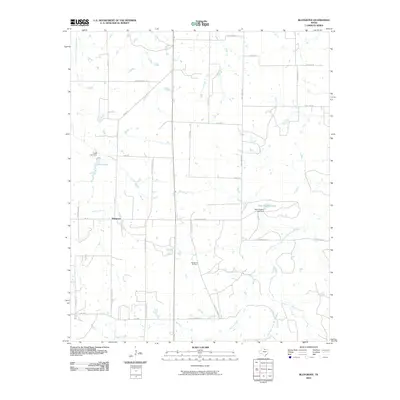
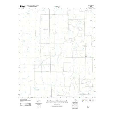
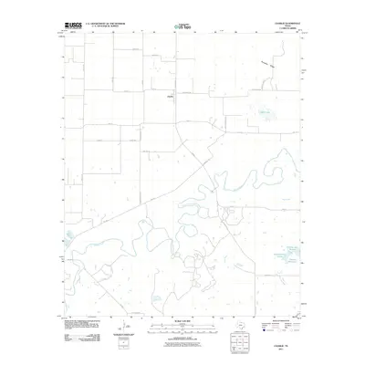
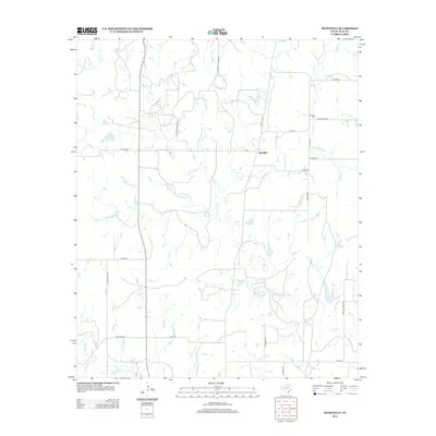
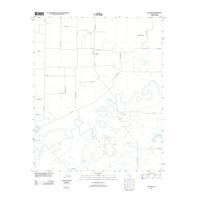
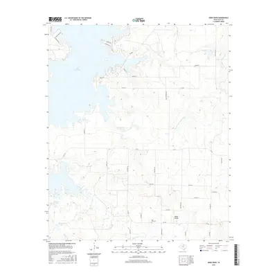
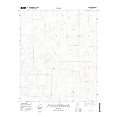
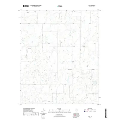
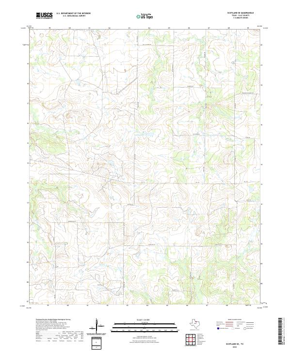
1964 Map of Scotland SE
USGS Topo · Published 1982About this map
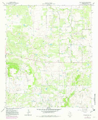
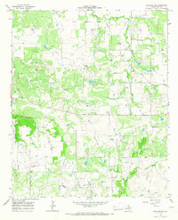
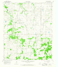
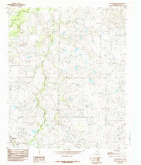
Mc Kinlay and the surrounding ranchlands of Clay County define this landscape during the early 1960s. The map reveals an extensive industrial network integrated into the rural terrain, dominated by a pervasive Oil Field and numerous Oil Wells. Significant infrastructure such as a Pumping Sta and a Water Tank support the extraction operations, while a prominent Pipeline cuts across the drainage basins of Deer Creek, Willow Creek, and Lodge Creek. This survey captures the transition of the North Texas plains from traditional ranching, evidenced by the Lazy B, into a more complex energy-producing corridor. The dense placement of wells and gravel pits alongside these winding creek beds illustrates the mid-century intersection of natural topography and petroleum development.
Find a feature on this map
12 named features on this map. Tap any name to fly to it.
Don’t see what you’re looking for? This feature index may not catch every label — zoom into the map to look around manually.
Map Details
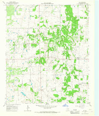
Editions of this 1964 Scotland SE Map
2 editions found
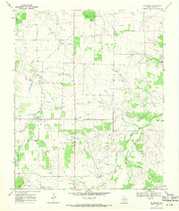
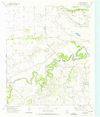
Historical Maps of Clay County Through Time
56 maps found
1957 Wichita Falls East
Clay County, TX
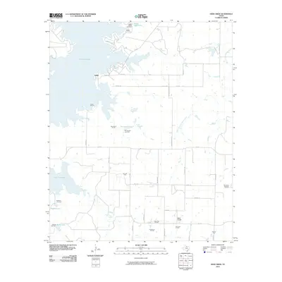
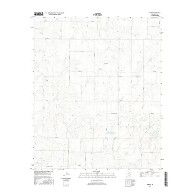
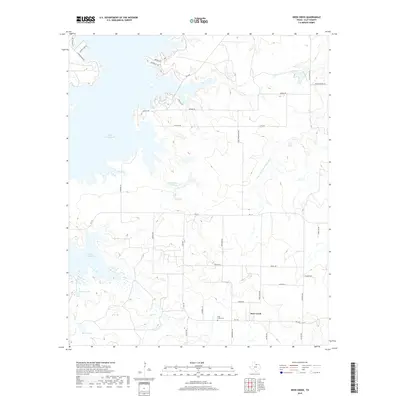
1963 Deer Creek
Clay County, TX
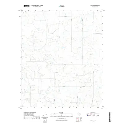
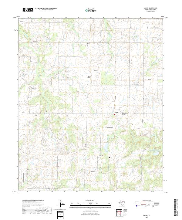
1963 Vashti
Clay County, TX
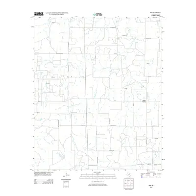
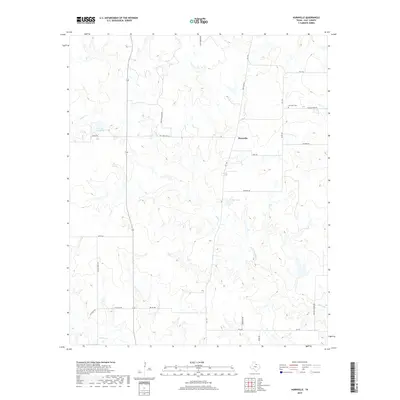
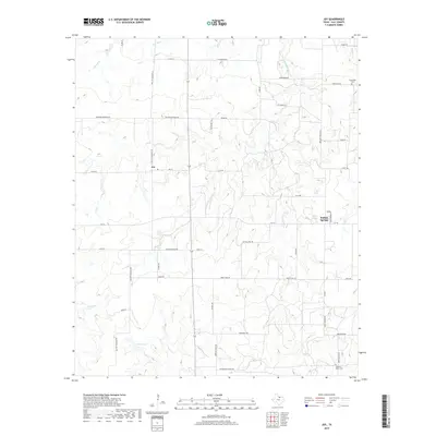
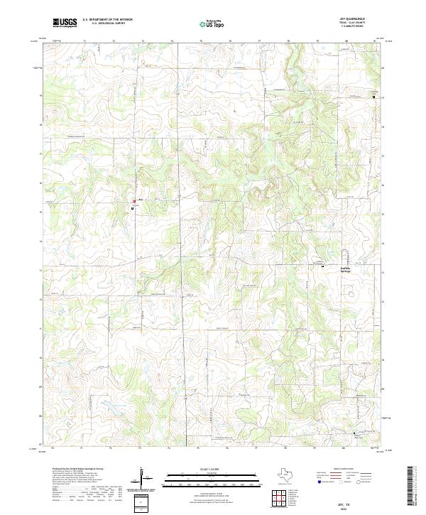
1964 Joy
Clay County, TX
1964 Scotland SE
Clay County, TX
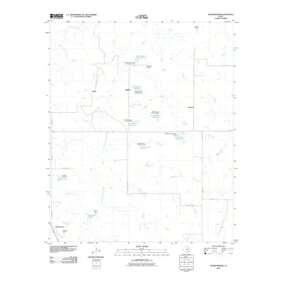
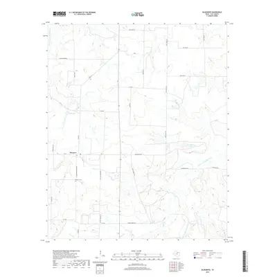
1968 Bluegrove
Clay County, TX
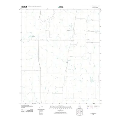
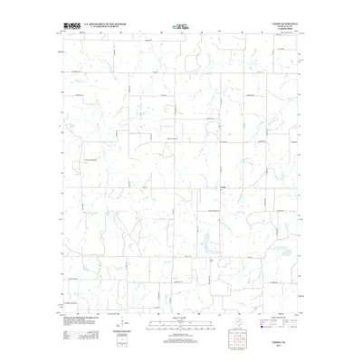
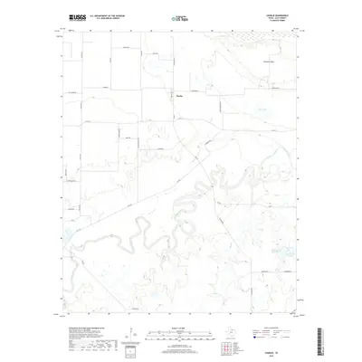
1972 Charlie
Clay County, TX
1984 Dickworsham
Clay County, TX
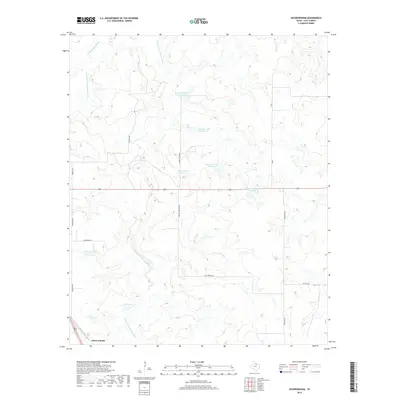
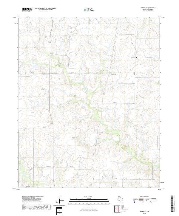
1984 Hurnville
Clay County, TX
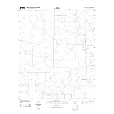
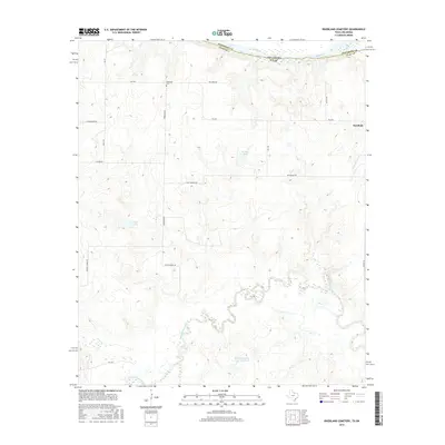
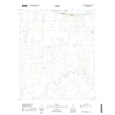
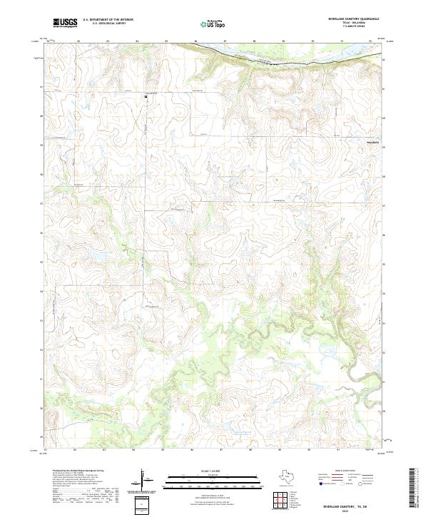
1985 Riverland Cemetery
Clay County, TX
1991 Charlie
Clay County, TX
2010 Bluegrove
Clay County, TX
2010 Deer Creek
Clay County, TX
2010 Dickworsham
Clay County, TX
2010 Hurnville
Clay County, TX
2010 Joy
Clay County, TX
2010 Riverland Cemetery
Clay County, TX
2010 Scotland SE
Clay County, TX
2010 Vashti
Clay County, TX
2011 Charlie
Clay County, TX
2012 Bluegrove
Clay County, TX
2012 Deer Creek
Clay County, TX
2012 Dickworsham
Clay County, TX
2012 Hurnville
Clay County, TX
2012 Joy
Clay County, TX
2012 Scotland SE
Clay County, TX
2012 Vashti
Clay County, TX
2013 Charlie
Clay County, TX
2013 Riverland Cemetery
Clay County, TX
2016 Bluegrove
Clay County, TX
2016 Charlie
Clay County, TX
2016 Deer Creek
Clay County, TX
2016 Dickworsham
Clay County, TX
2016 Hurnville
Clay County, TX
2016 Joy
Clay County, TX
2016 Riverland Cemetery
Clay County, TX
2016 Scotland SE
Clay County, TX
2016 Vashti
Clay County, TX
2019 Bluegrove
Clay County, TX
2019 Charlie
Clay County, TX
2019 Deer Creek
Clay County, TX
2019 Dickworsham
Clay County, TX
2019 Hurnville
Clay County, TX
2019 Joy
Clay County, TX
2019 Riverland Cemetery
Clay County, TX
2019 Scotland SE
Clay County, TX
2019 Vashti
Clay County, TX
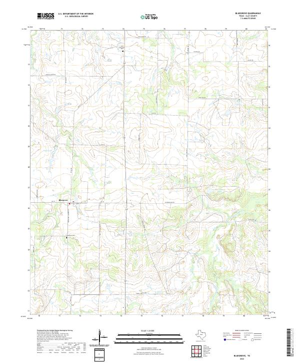
2022 Bluegrove
Clay County, TX
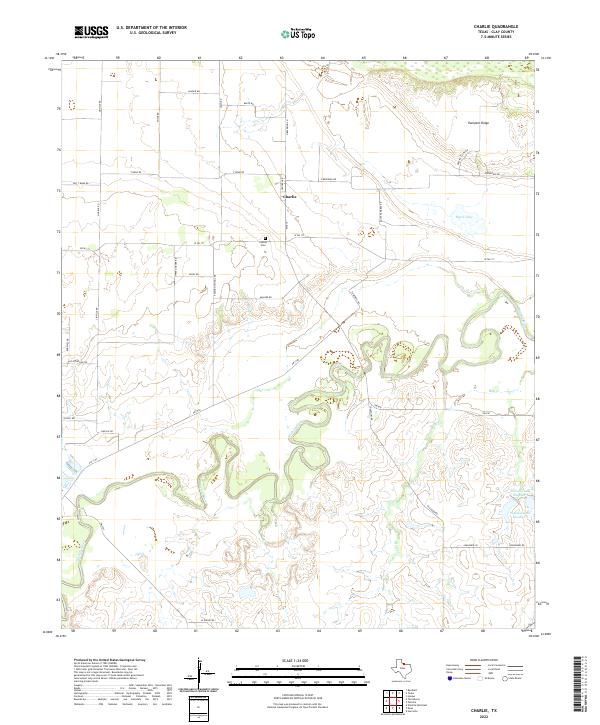
2022 Charlie
Clay County, TX
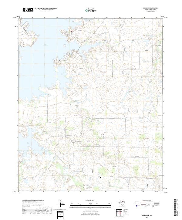
2022 Deer Creek
Clay County, TX
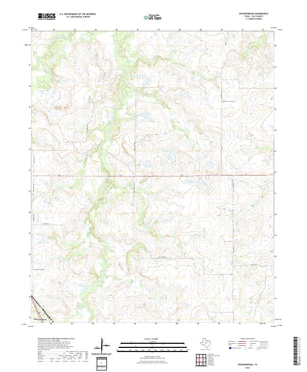
2022 Dickworsham
Clay County, TX
2022 Hurnville
Clay County, TX
2022 Joy
Clay County, TX
2022 Riverland Cemetery
Clay County, TX
2022 Scotland SE
Clay County, TX
2022 Vashti
Clay County, TX