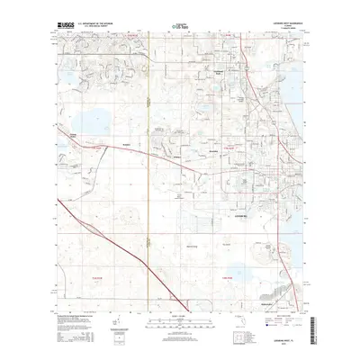
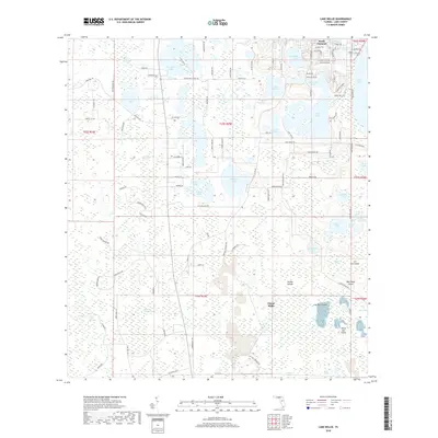
2024 Map of Sanford SW
USGS Topo · Published 2024About this map
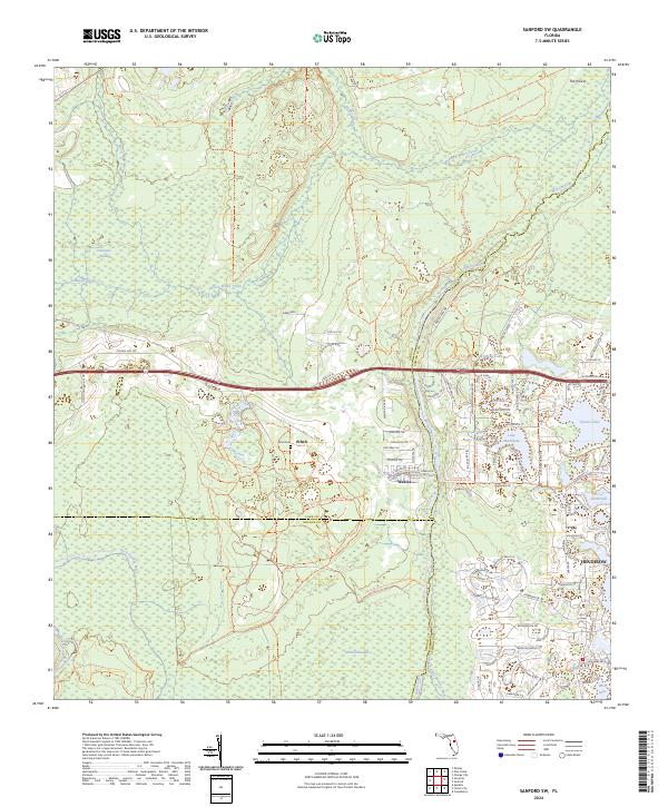
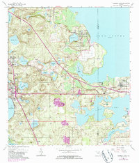
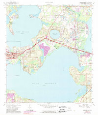
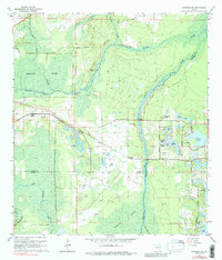
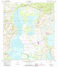
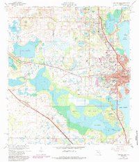
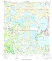
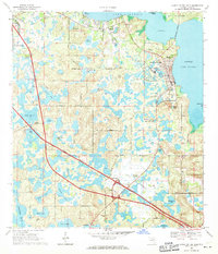
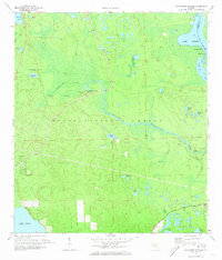
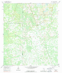
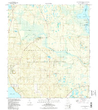
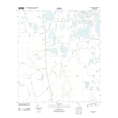
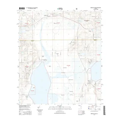
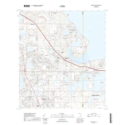
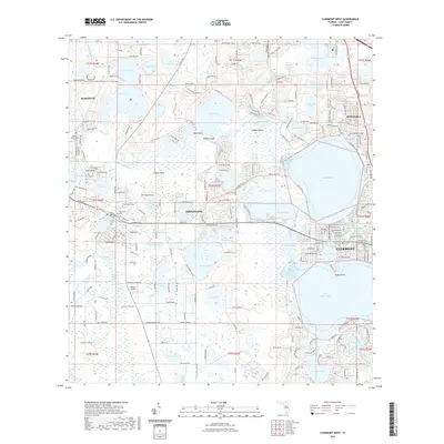
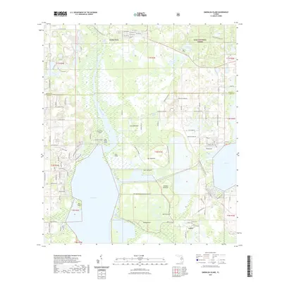
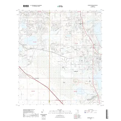
Wekiva River and Black Water Creek define the central drainage of this landscape, carving through a region where dense conservation lands meet modern residential expansion. The small settlement of Ethel and the nearby Ethel Cem provide a point of historical reference in the western interior, while the eastern edge is characterized by the structured development of Heathrow and a cluster of water bodies including Lake Markham and Sylvan Lake. A complex network of paths, such as the Florida National Scenic Trl and Wekiva Loop Trl, crisscrosses protected areas like the Wekiva Wild and Scenic River corridor. This geography illustrates a sharp contrast between the preserved hydrologic systems of the Wekiva Swamp and the organized suburban growth emerging along the State Rd 46 corridor.
Find a feature on this map
70 named features on this map. Tap any name to fly to it.
Don’t see what you’re looking for? This feature index may not catch every label — zoom into the map to look around manually.
Map Details
Editions of this 2024 Sanford SW Map
This is the sole edition of this map. No revisions or reprints were ever made.
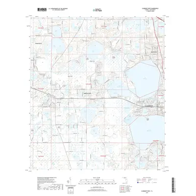
Historical Maps of Ethel Through Time
64 maps found
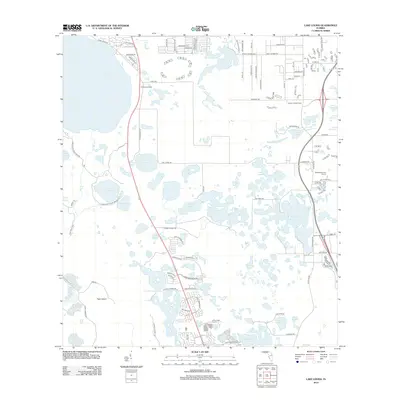
1959 Lake Louisa
Lake County, FL
1959 Lake Nellie
Lake County, FL
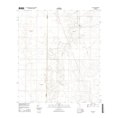
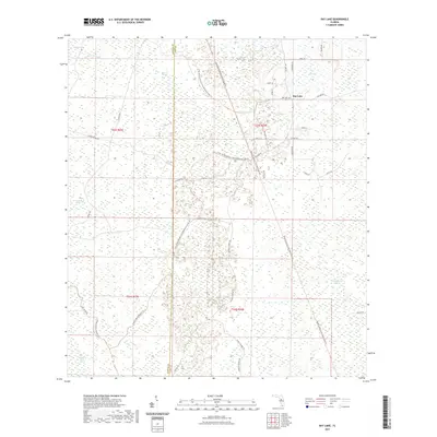
1960 Bay Lake
Lake County, FL
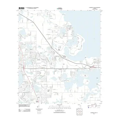
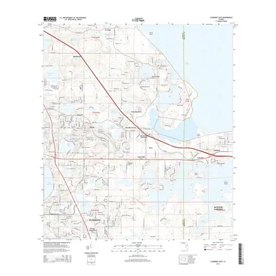
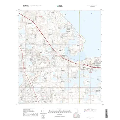
1962 Clermont East
Lake County, FL
1965 Leesburg East
Lake County, FL
1965 Sanford Sw
Lake County, FL
1966 Emeralda Island
Lake County, FL
1966 Leesburg West
Lake County, FL
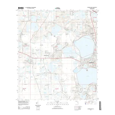
1969 Clermont West
Lake County, FL
1969 Howey In The Hills
Lake County, FL
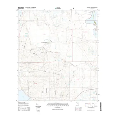
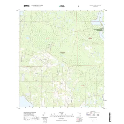
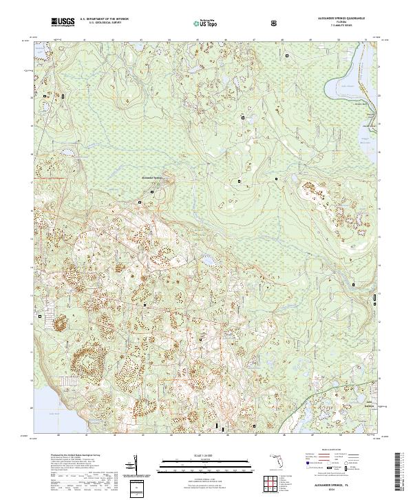
1972 Alexander Springs
Lake County, FL
1984 Bay Lake
Lake County, FL
1994 Alexander Springs
Lake County, FL
2012 Alexander Springs
Lake County, FL
2012 Bay Lake
Lake County, FL
2012 Clermont East
Lake County, FL
2012 Clermont West
Lake County, FL
2012 Emeralda Island
Lake County, FL
2012 Lake Louisa
Lake County, FL
2012 Lake Nellie
Lake County, FL
2012 Leesburg East
Lake County, FL
2012 Leesburg West
Lake County, FL
2012 Sanford SW
Lake County, FL
2015 Alexander Springs
Lake County, FL
2015 Bay Lake
Lake County, FL
2015 Clermont East
Lake County, FL
2015 Clermont West
Lake County, FL
2015 Emeralda Island
Lake County, FL
2015 Lake Louisa
Lake County, FL
2015 Lake Nellie
Lake County, FL
2015 Leesburg East
Lake County, FL
2015 Leesburg West
Lake County, FL
2015 Sanford SW
Lake County, FL
2018 Alexander Springs
Lake County, FL
2018 Bay Lake
Lake County, FL
2018 Clermont East
Lake County, FL
2018 Clermont West
Lake County, FL
2018 Emeralda Island
Lake County, FL
2018 Lake Louisa
Lake County, FL
2018 Lake Nellie
Lake County, FL
2018 Leesburg East
Lake County, FL
2018 Leesburg West
Lake County, FL
2018 Sanford SW
Lake County, FL
2021 Alexander Springs
Lake County, FL
2021 Bay Lake
Lake County, FL
2021 Clermont East
Lake County, FL
2021 Clermont West
Lake County, FL
2021 Emeralda Island
Lake County, FL
2021 Lake Louisa
Lake County, FL
2021 Lake Nellie
Lake County, FL
2021 Leesburg East
Lake County, FL
2021 Leesburg West
Lake County, FL
2021 Sanford SW
Lake County, FL
2023 Clermont East
Lake County, FL
2024 Alexander Springs
Lake County, FL
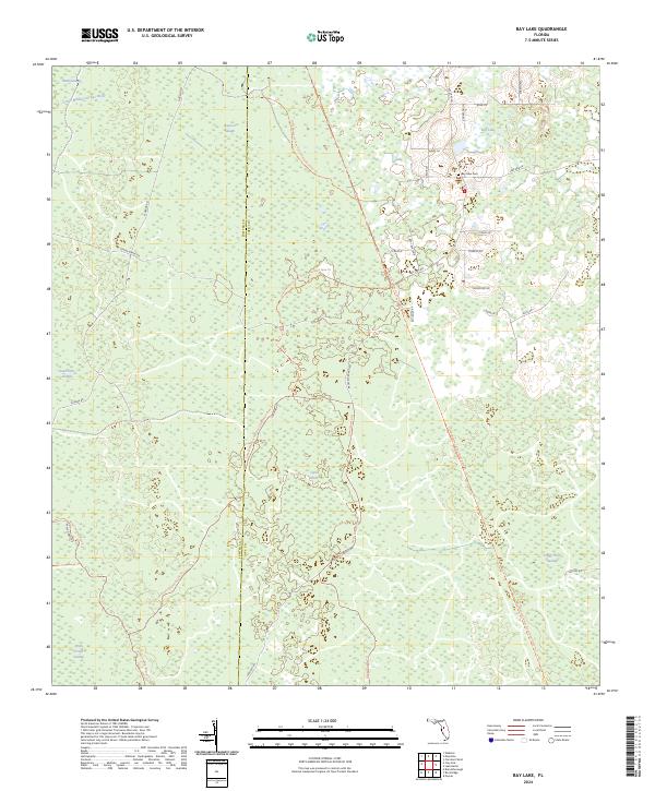
2024 Bay Lake
Lake County, FL
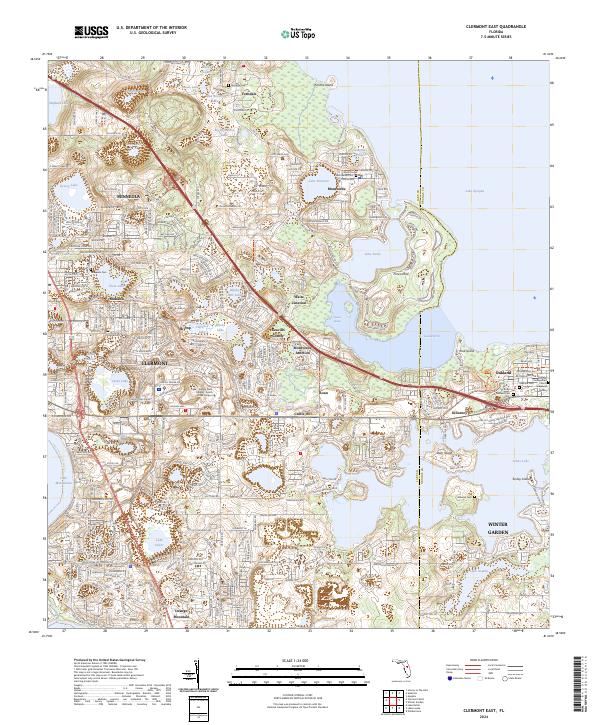
2024 Clermont East
Lake County, FL
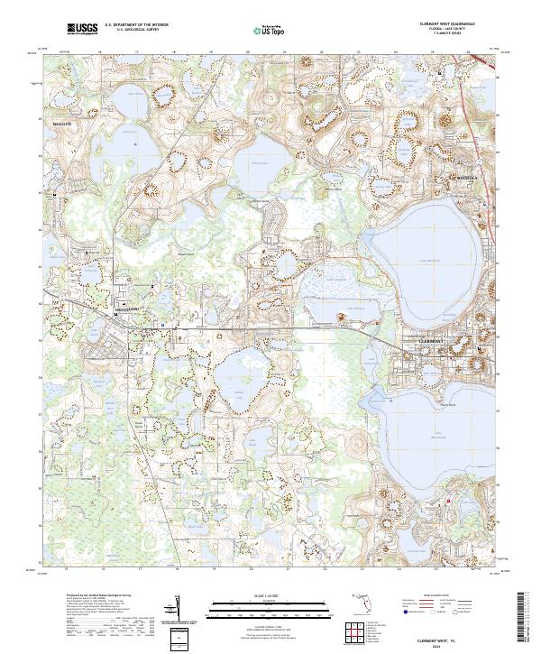
2024 Clermont West
Lake County, FL
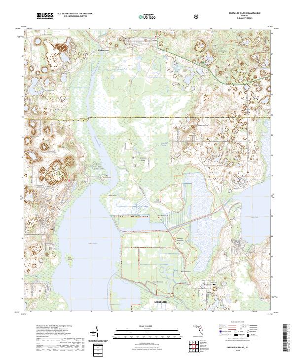
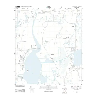
2024 Emeralda Island
Lake County, FL
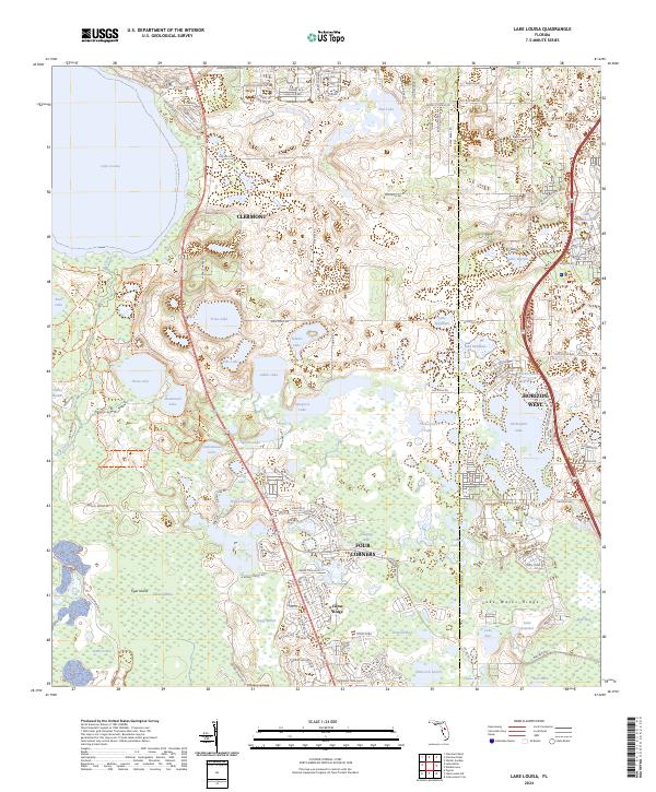
2024 Lake Louisa
Lake County, FL
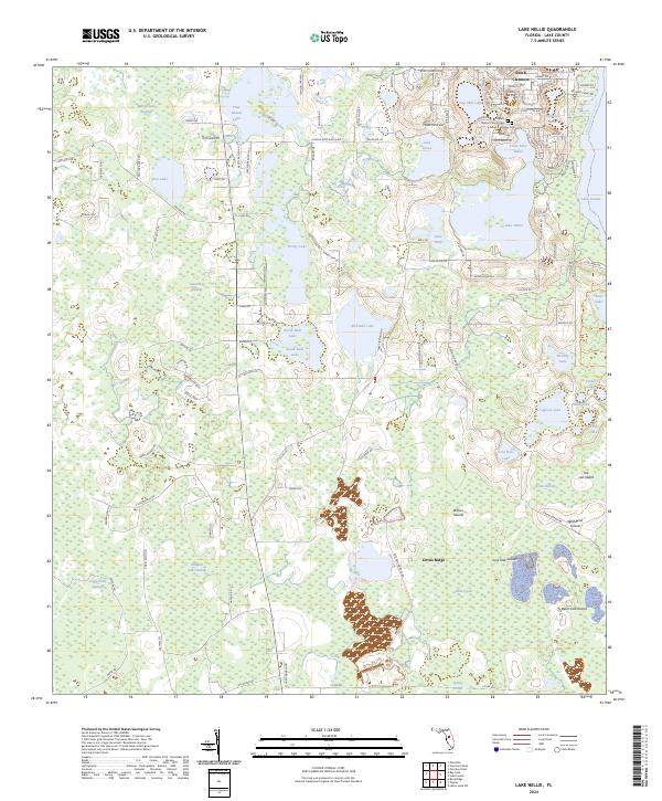
2024 Lake Nellie
Lake County, FL
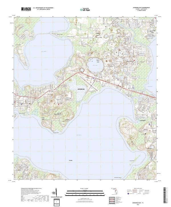
2024 Leesburg East
Lake County, FL
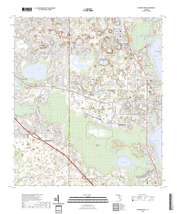
2024 Leesburg West
Lake County, FL
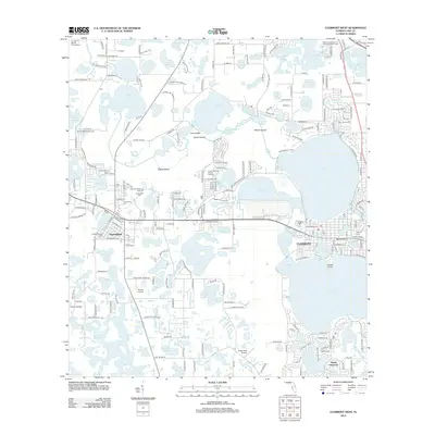
2024 Sanford SW
Lake County, FL