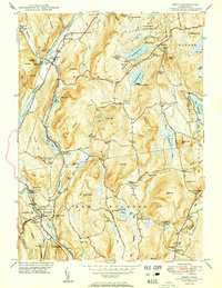
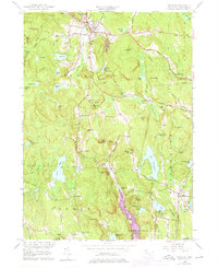
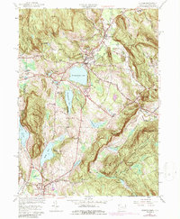
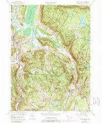
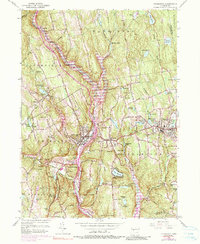
2024 Map of Sharon
USGS Topo · Published 2024About this map
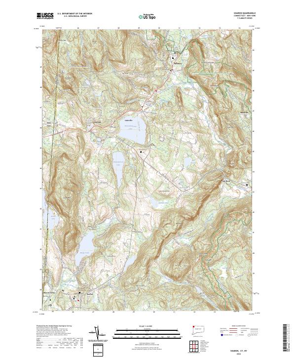
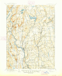
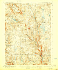
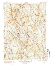
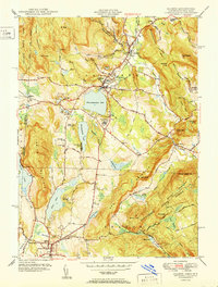
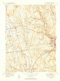
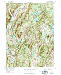
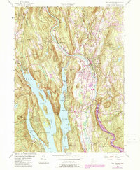
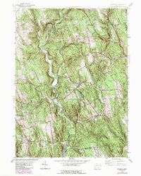
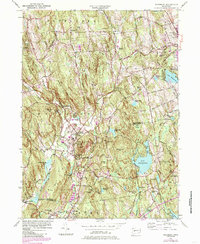
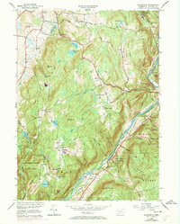
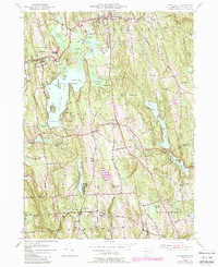
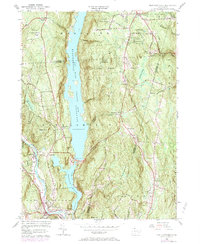
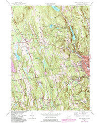
Salisbury and the surrounding Litchfield County landscape are defined by a complex network of glacial lakes and the rising ridges of the Taconic Range. This modern survey illustrates the proximity of historical centers like Lakeville and Sharon to significant water bodies including Wononscopomuc Lake and Wononpakook Lake. The terrain is marked by prominent peaks such as Thorpe Mtn and Bird Peak, while the Appalachian National Scenic Trail winds across the northeastern highlands through the Housatonic Forest.
Find a feature on this map
139 named features on this map. Tap any name to fly to it.
Don’t see what you’re looking for? This feature index may not catch every label — zoom into the map to look around manually.
Map Details
Editions of this 2024 Sharon Map
This is the sole edition of this map. No revisions or reprints were ever made.
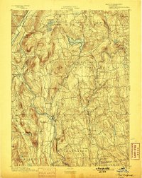
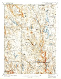
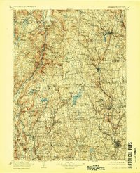
Historical Maps of Millerton Through Time
46 maps found

1892 New Milford
Litchfield County, CT
1893 New Milford
Litchfield County, CT

1893 Sandisfield
Litchfield County, CT
1897 Sandisfield
Litchfield County, CT
1904 Litchfield
Litchfield County, CT
1904 New Milford
Litchfield County, CT
1907 Sandisfield
Litchfield County, CT

1948 Sharon
Litchfield County, CT

1948 Woodbury
Litchfield County, CT
1949 Roxbury
Litchfield County, CT

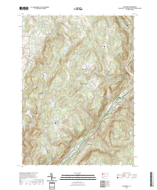
1950 Ellsworth
Litchfield County, CT
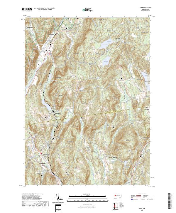
1950 Kent
Litchfield County, CT

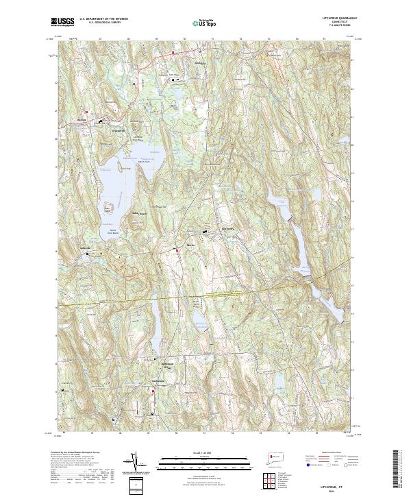
1950 Litchfield
Litchfield County, CT
1950 Sharon
Litchfield County, CT
1950 South Canaan
Litchfield County, CT

1950 Woodbury
Litchfield County, CT

1951 New Hartford
Litchfield County, CT
1951 New Milford
Litchfield County, CT

1951 Norfolk
Litchfield County, CT
1951 Thomaston
Litchfield County, CT
1951 West Torrington
Litchfield County, CT
1955 Kent
Litchfield County, CT
1955 New Milford
Litchfield County, CT
1955 Roxbury
Litchfield County, CT
1955 Woodbury
Litchfield County, CT
1956 Ellsworth
Litchfield County, CT
1956 Litchfield
Litchfield County, CT
1956 New Hartford
Litchfield County, CT
1956 Norfolk
Litchfield County, CT
1956 Sharon
Litchfield County, CT
1956 South Canaan
Litchfield County, CT
1956 Thomaston
Litchfield County, CT
1956 West Torrington
Litchfield County, CT

1965 Norfolk
Litchfield County, CT
2024 Ellsworth
Litchfield County, CT
2024 Kent
Litchfield County, CT
2024 Litchfield
Litchfield County, CT
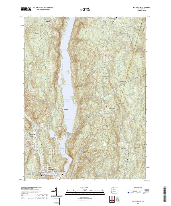
2024 New Hartford
Litchfield County, CT
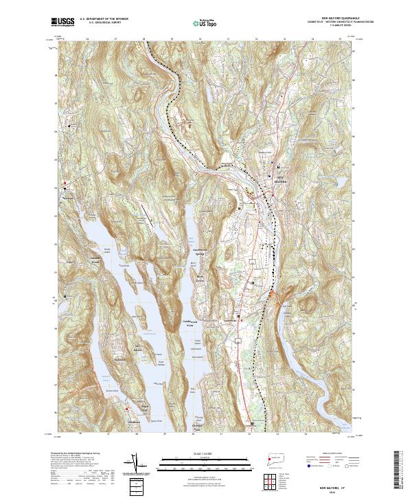
2024 New Milford
Litchfield County, CT
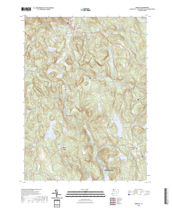
2024 Norfolk
Litchfield County, CT
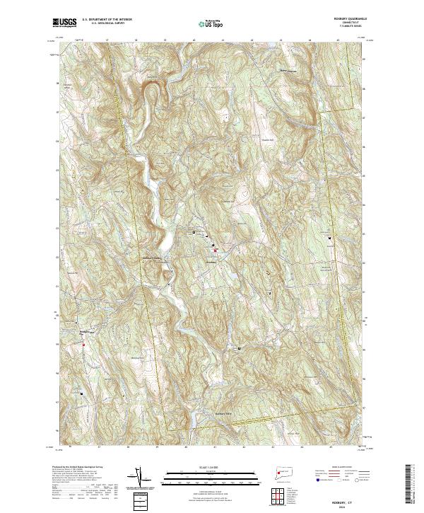
2024 Roxbury
Litchfield County, CT
2024 Sharon
Litchfield County, CT
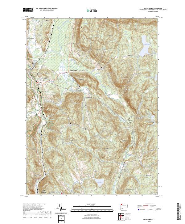
2024 South Canaan
Litchfield County, CT
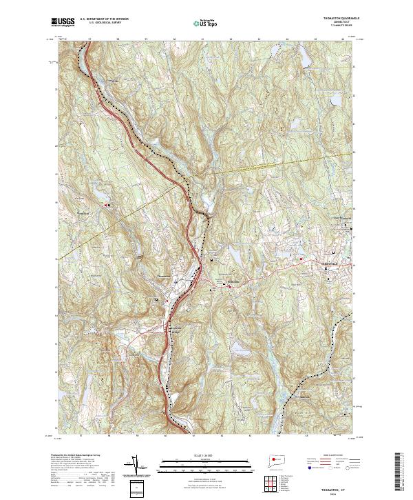
2024 Thomaston
Litchfield County, CT
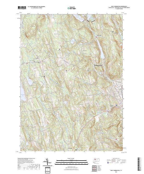
2024 West Torrington
Litchfield County, CT
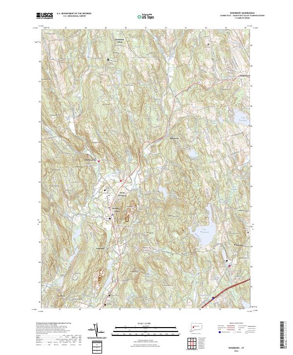
2024 Woodbury
Litchfield County, CT