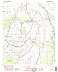
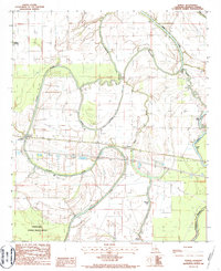
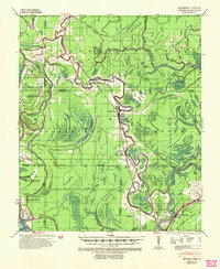
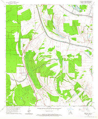
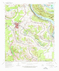
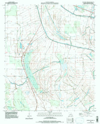
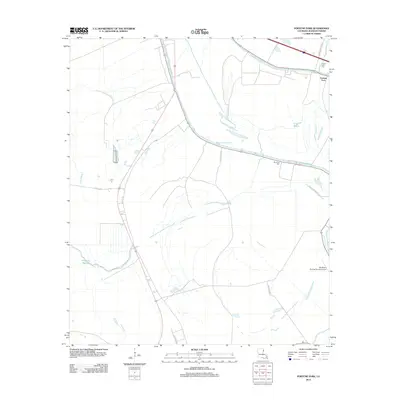
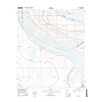
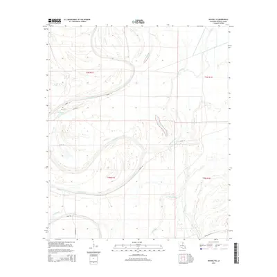
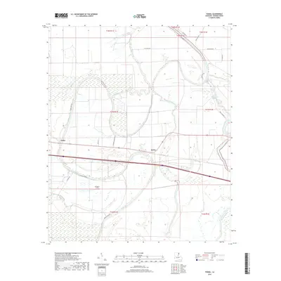
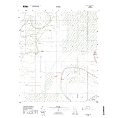
1986 Map of Tendal
USGS Topo · Published 1987About this map
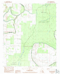
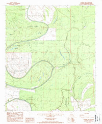
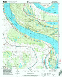
Tendal and Quebec serve as the primary human settlements in this corner of Madison Parish, situated along the tracks of the Illinois Central Gulf railroad. This 1980s landscape is defined by the winding course of the Tensas River, which marks the northern boundary of the Tensas River National Wildlife Refuge. The map captures a complex hydrological network where oxbow lakes and bayous dictate the local geography, including the prominent Bear Lake and the serpentine Roundaway Bayou. The presence of a Gaging Station and the Head of Navigation near Tendal underscores the historical and practical importance of the river for transport and water management in the Mississippi Delta. Smaller features like a Cem and a Radio Tower provide specific points of interest for local historians and genealogists tracing the infrastructure of the late 20th century.
Find a feature on this map
24 named features on this map. Tap any name to fly to it.
Don’t see what you’re looking for? This feature index may not catch every label — zoom into the map to look around manually.
Map Details
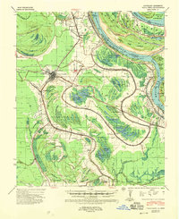
Editions of this 1986 Tendal Map
2 editions found
Historical Maps of Quebec Through Time
39 maps found
1909 Millikens Bend
Madison Parish, LA
1935 Waverly
Madison Parish, LA
1939 Onward
Madison Parish, LA
1939 Talla Bena
Madison Parish, LA
1961 Waverly
Madison Parish, LA
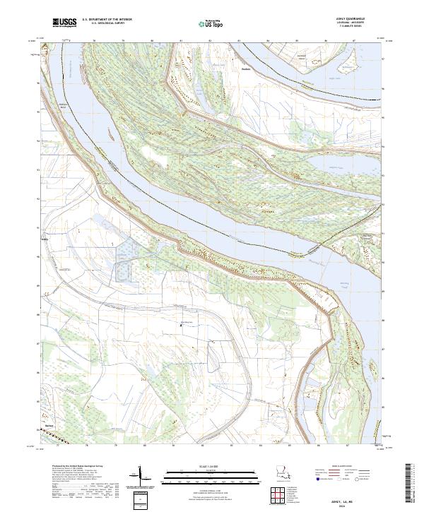
1963 Ashly
Madison Parish, LA
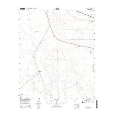
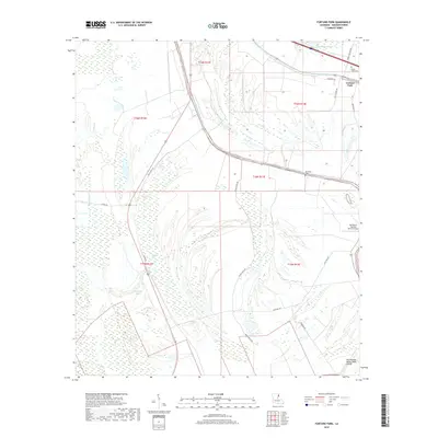
1963 Fortune Fork
Madison Parish, LA
1965 Talla Bena
Madison Parish, LA
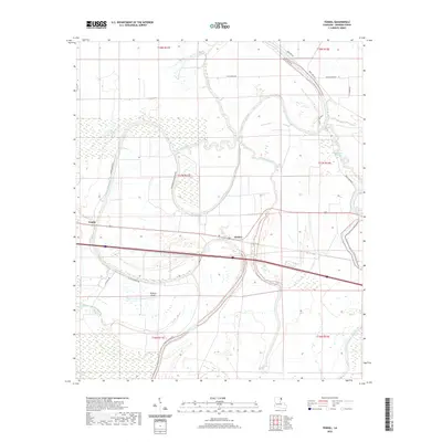
1986 Tendal
Madison Parish, LA
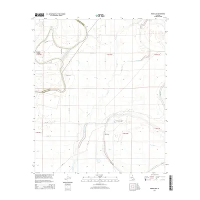
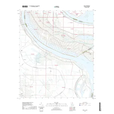
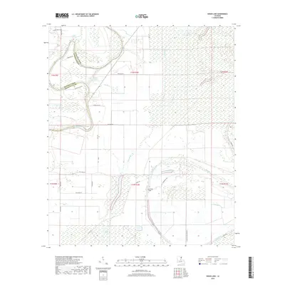
1987 Indian Lake
Madison Parish, LA
1987 Waverly SE
Madison Parish, LA
1994 Fortune Fork
Madison Parish, LA
1998 Ashly
Madison Parish, LA
1998 Indian Lake
Madison Parish, LA
2012 Ashly
Madison Parish, LA
2012 Fortune Fork
Madison Parish, LA
2012 Indian Lake
Madison Parish, LA
2012 Tendal
Madison Parish, LA
2012 Waverly SE
Madison Parish, LA
2015 Ashly
Madison Parish, LA
2015 Fortune Fork
Madison Parish, LA
2015 Indian Lake
Madison Parish, LA
2015 Tendal
Madison Parish, LA
2015 Waverly SE
Madison Parish, LA
2018 Ashly
Madison Parish, LA
2018 Fortune Fork
Madison Parish, LA
2018 Indian Lake
Madison Parish, LA
2018 Tendal
Madison Parish, LA
2018 Waverly SE
Madison Parish, LA
2020 Ashly
Madison Parish, LA
2020 Fortune Fork
Madison Parish, LA
2020 Indian Lake
Madison Parish, LA
2020 Tendal
Madison Parish, LA
2020 Waverly SE
Madison Parish, LA
2024 Ashly
Madison Parish, LA
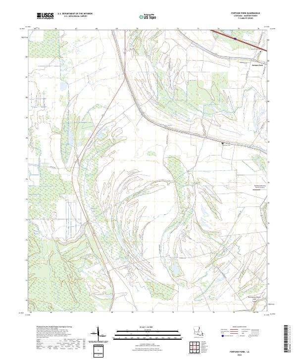
2024 Fortune Fork
Madison Parish, LA
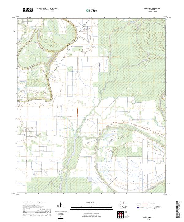
2024 Indian Lake
Madison Parish, LA
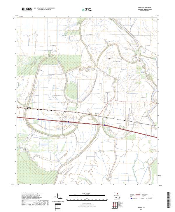
2024 Tendal
Madison Parish, LA
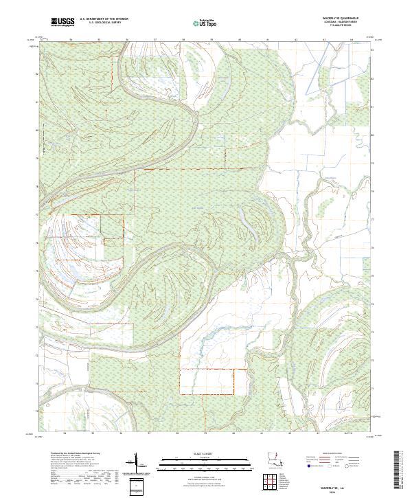
2024 Waverly SE
Madison Parish, LA