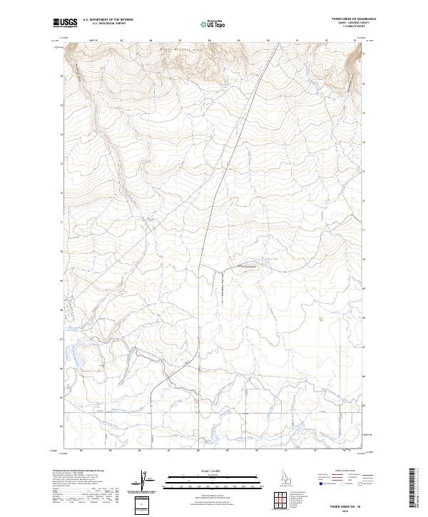
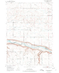
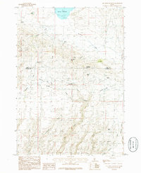
2024 Map of Thorn Creek SW
USGS Topo · Published 2024This historical map portrays the area of Thorn Creek SW in 2024, primarily covering Gooding County. Featuring a scale of 1:24000, this map provides a highly detailed snapshot of the terrain, roads, buildings, counties, and historical landmarks in the Thorn Creek SW region at the time. Published in 2024, it is the sole known edition of this map.
Map Details
Editions of this 2024 Thorn Creek SW Map
This is the sole edition of this map. No revisions or reprints were ever made.
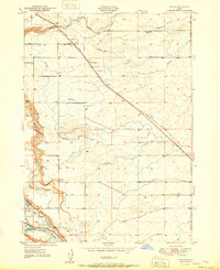
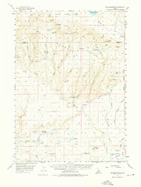
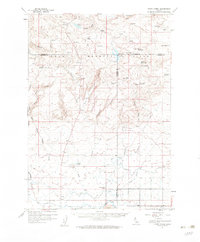
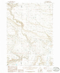
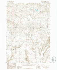
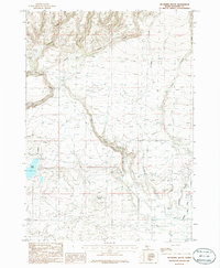
Historical Maps of Gooding County Through Time
25 maps found
1949 Gooding Butte
Gooding County, ID
1949 Tuttle
Gooding County, ID
1950 Gooding Butte
Gooding County, ID
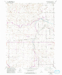
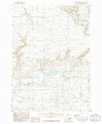
1950 Niagara Springs
Gooding County, ID
1951 Tuttle
Gooding County, ID
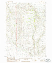
1957 Davis Mountain
Gooding County, ID
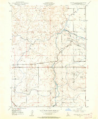
1957 Thorn Creek
Gooding County, ID
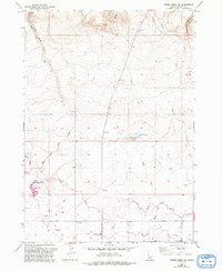
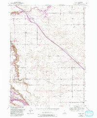
1957 Thorn Creek SW
Gooding County, ID
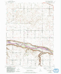
1979 Niagara Springs
Gooding County, ID
1986 Davis Mountain
Gooding County, ID
1986 Davis Mountain SW
Gooding County, ID
1986 Fir Grove Mountain
Gooding County, ID
1986 Hog Creek
Gooding County, ID
1986 Mc Han Reservoir
Gooding County, ID
1986 Mc Kinney Butte
Gooding County, ID
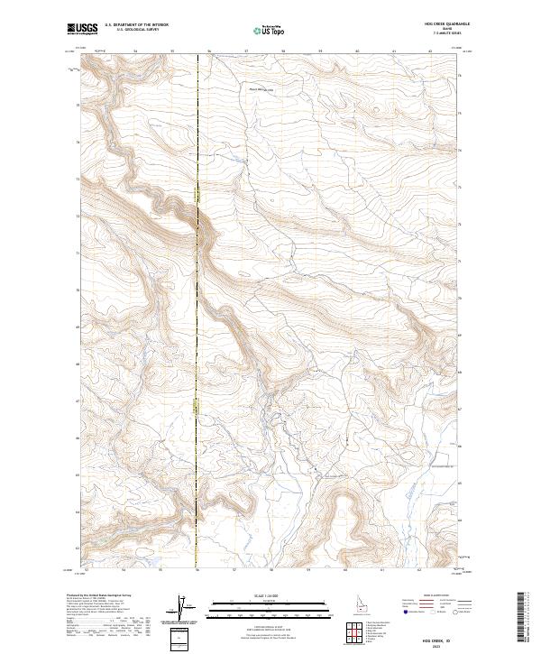
2023 Hog Creek
Gooding County, ID
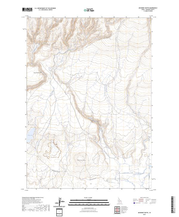
2023 McKinney Butte
Gooding County, ID
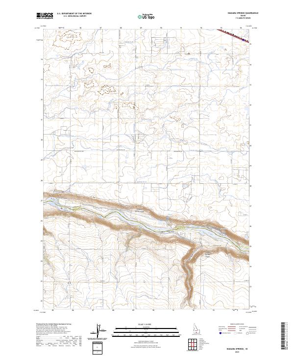
2023 Niagara Springs
Gooding County, ID
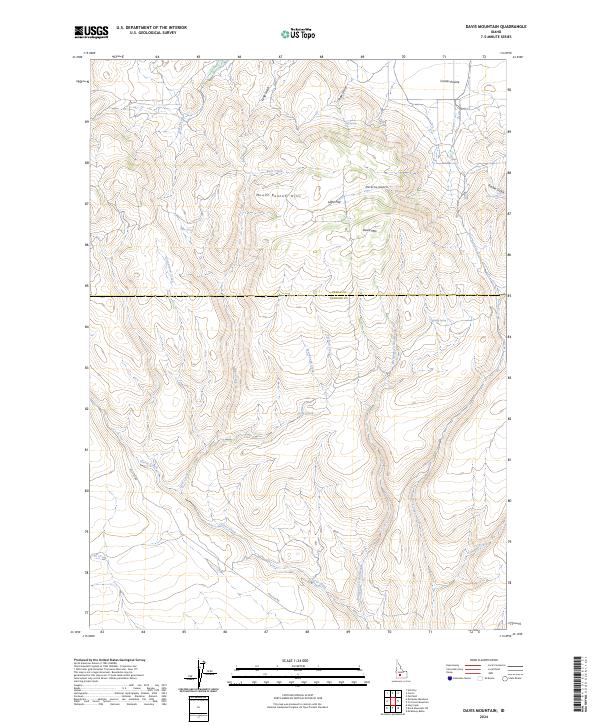
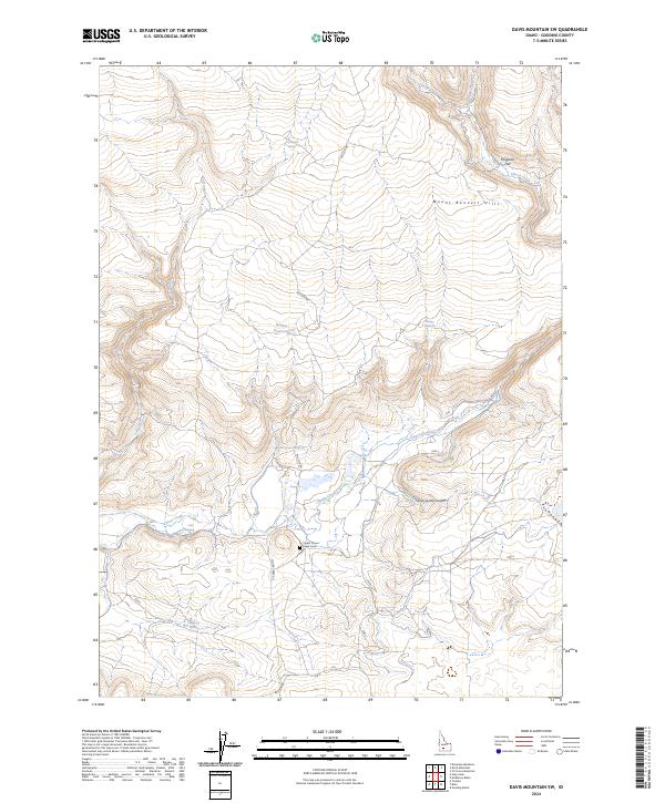
2024 Davis Mountain
Gooding County, ID
2024 Davis Mountain SW
Gooding County, ID
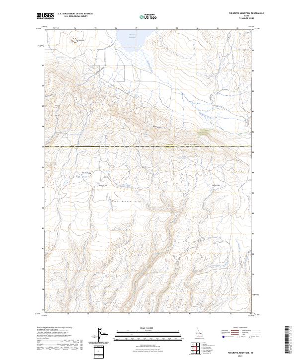
2024 Fir Grove Mountain
Gooding County, ID
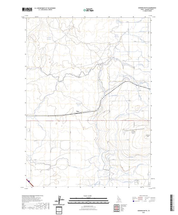
2024 Gooding Butte
Gooding County, ID
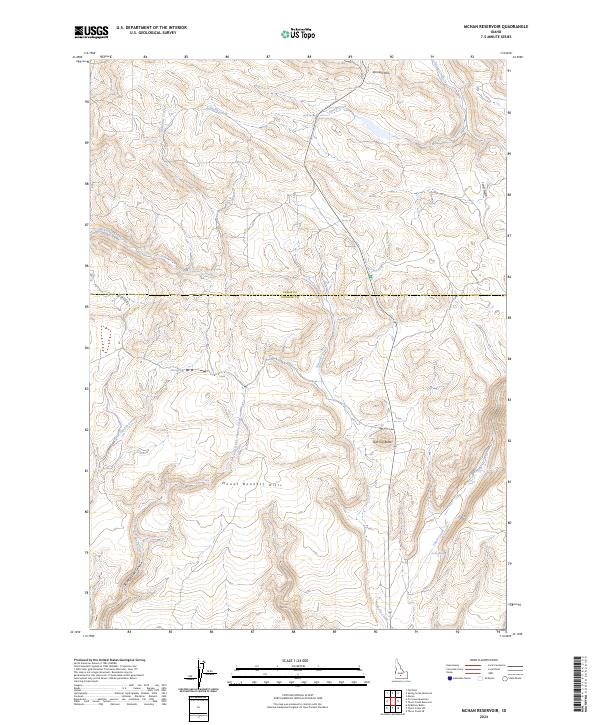
2024 McHan Reservoir
Gooding County, ID
2024 Thorn Creek SW
Gooding County, ID
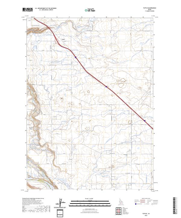
2024 Tuttle
Gooding County, ID