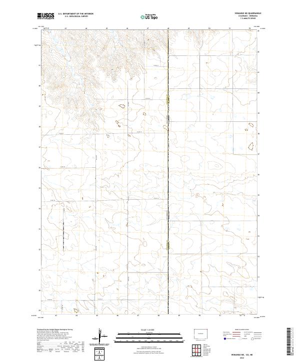
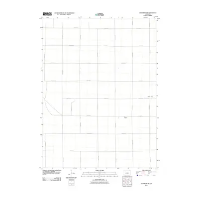
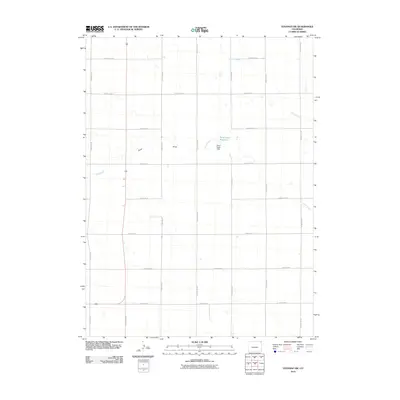
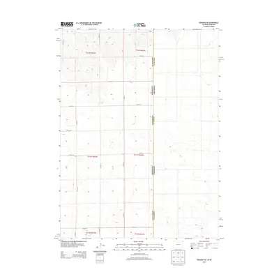
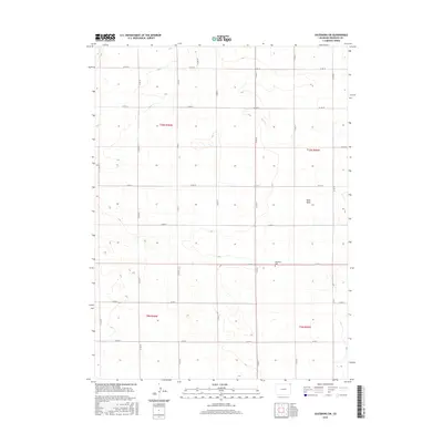
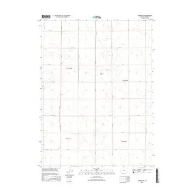
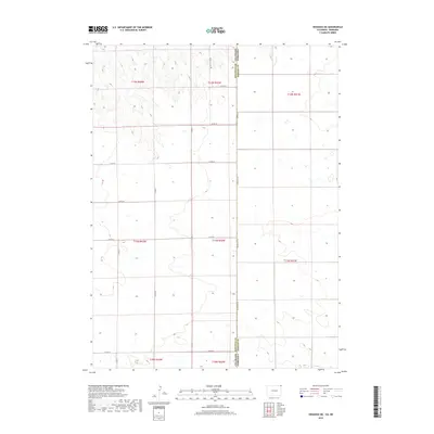
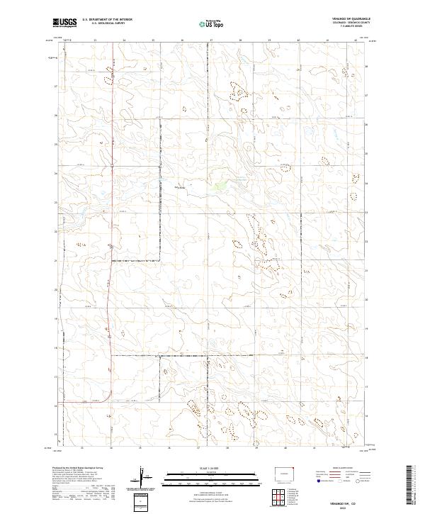
2022 Map of Venango NE
USGS Topo · Published 2022About this map
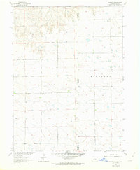
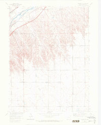
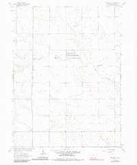
The state line between Colorado and Nebraska bisects this high-plains landscape, where the survey grids of Sedgwick County meet those of Perkins County. The terrain is characterized by a sparse network of section-line roads, such as Co Rd 61.5/110 and Co Rd 34, which define the agricultural blocks typical of the region. This 2022 survey illustrates the modern persistence of the Public Land Survey System, showing Township and Range divisions like t12n r43w and t11n r42w. The lack of dense settlements or town centers emphasizes the rural, land-heavy economy of this borderland, where the primary human mark on the land is the precise geometric arrangement of local transit routes like Co Rd 30 and Co Rd 28.
Find a feature on this map
21 named features on this map. Tap any name to fly to it.
Don’t see what you’re looking for? This feature index may not catch every label — zoom into the map to look around manually.
Map Details
Editions of this 2022 Venango NE Map
This is the sole edition of this map. No revisions or reprints were ever made.
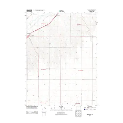
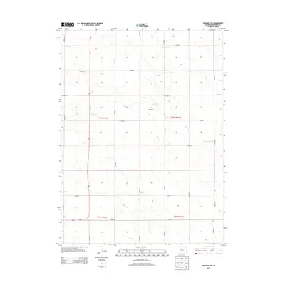
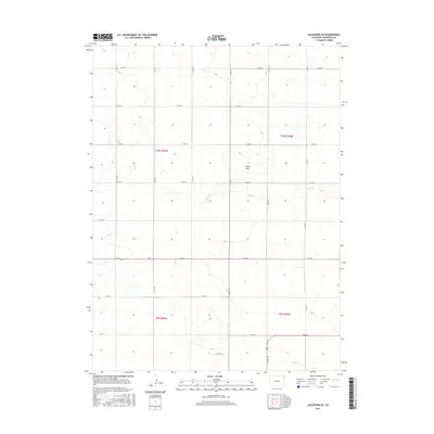
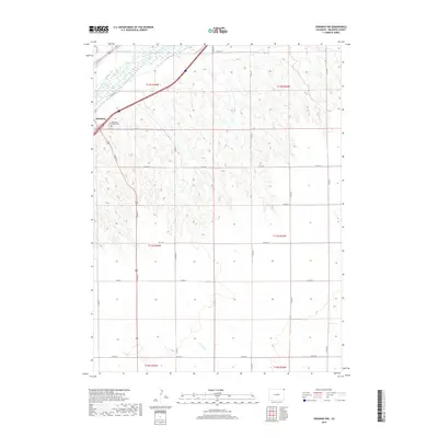
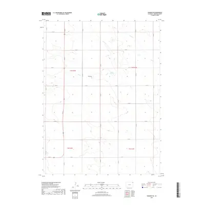
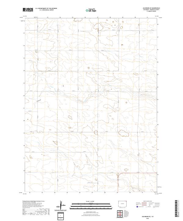
Historical Maps of Sedgwick County Through Time
36 maps found
1952 Julesburg SE
Sedgwick County, CO
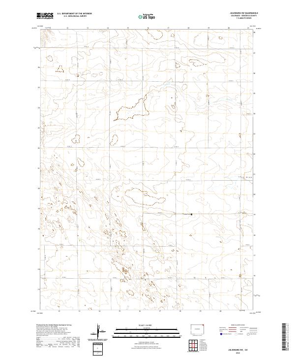
1952 Julesburg SW
Sedgwick County, CO
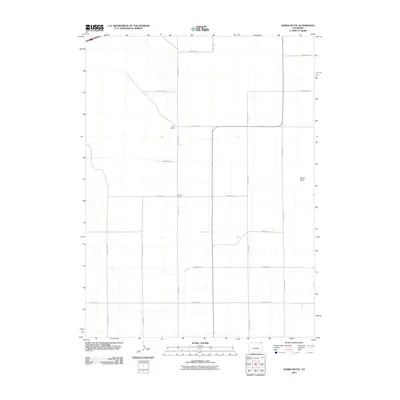
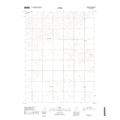
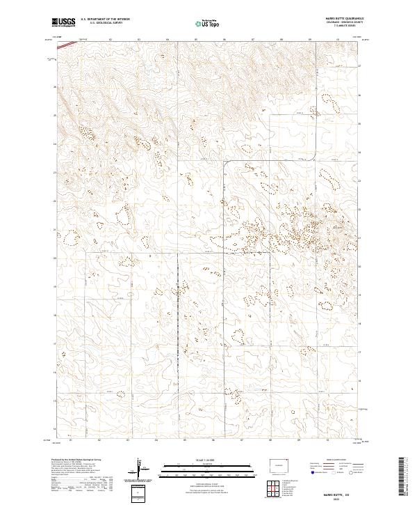
1952 Marks Butte
Sedgwick County, CO
1962 Venango NE
Sedgwick County, CO
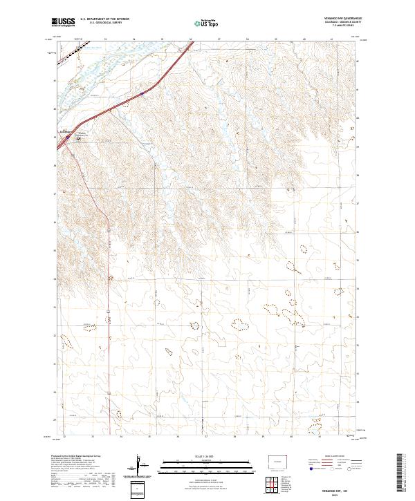
1962 Venango NW
Sedgwick County, CO
1962 Venango SW
Sedgwick County, CO
2010 Julesburg SE
Sedgwick County, CO
2010 Julesburg SW
Sedgwick County, CO
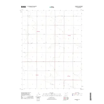
2010 Marks Butte
Sedgwick County, CO
2010 Venango NE
Sedgwick County, CO
2010 Venango NW
Sedgwick County, CO
2010 Venango SW
Sedgwick County, CO
2013 Julesburg SE
Sedgwick County, CO
2013 Julesburg SW
Sedgwick County, CO
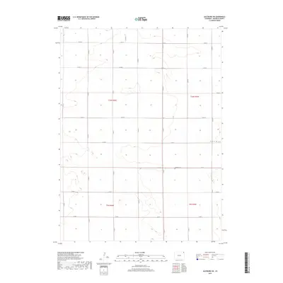
2013 Marks Butte
Sedgwick County, CO
2013 Venango NE
Sedgwick County, CO
2013 Venango NW
Sedgwick County, CO
2013 Venango SW
Sedgwick County, CO
2016 Julesburg SE
Sedgwick County, CO
2016 Julesburg SW
Sedgwick County, CO
2016 Marks Butte
Sedgwick County, CO
2016 Venango NE
Sedgwick County, CO
2016 Venango NW
Sedgwick County, CO
2016 Venango SW
Sedgwick County, CO
2019 Julesburg SE
Sedgwick County, CO
2019 Julesburg SW
Sedgwick County, CO
2019 Marks Butte
Sedgwick County, CO
2019 Venango NE
Sedgwick County, CO
2019 Venango NW
Sedgwick County, CO
2019 Venango SW
Sedgwick County, CO
2022 Julesburg SE
Sedgwick County, CO
2022 Julesburg SW
Sedgwick County, CO
2022 Marks Butte
Sedgwick County, CO
2022 Venango NE
Sedgwick County, CO
2022 Venango NW
Sedgwick County, CO
2022 Venango SW
Sedgwick County, CO