2020s Maps of Flathead County, Montana
Explore 293 historic maps of Flathead County from the 2020s. These maps offer a rare glimpse into what life looked like during the 2020s — showing old roads, neighborhoods, homes, and landmarks that have changed or disappeared over time.
Whether you're researching your family's past, planning a metal detecting trip, or studying how Flathead County's landscape evolved across the 2020s, these high-resolution maps are a powerful tool for exploring the history of this region.
- Focus on a specific era: All maps on this page are from the 2020s, giving you a focused view of this time period.
- See what’s changed: Compare century-old streets, trails, and buildings to today's modern landscape using overlays and satellite layers.
- Research with precision: Use these maps for genealogy, historical research, land use analysis, or educational projects.
- View, download, or print: Maps are fully viewable online in high resolution, and can be downloaded or printed for your own records.
Start exploring Flathead County's history through authentic maps from the 2020s. This is your window into the past.
Flathead County, MT maps
(293)- 2020 Map of Kintla Peak OE N, 2020 Print
 2020 Kintla Peak OE N2020 Print · USGSThe international border with Canada and the remote headwaters of the region are the focus of this contemporary survey. Historians and environmental researchers can trace the intricate network of northern drainages and unnamed alpine tributaries at the border line.
 - 2020 Map of Tuchuck Mountain OE N, 2020 Print
 2020 Tuchuck Mountain OE N2020 Print · USGSThe northern reaches of the Montana wilderness meet the international border in the years following the turn of the millennium. Trace the intersection of Kootenai National Forest and Flathead National Forest along the line of Canada.
 - 2020 Map of Mount Hefty OE N, 2020 Print
 2020 Mount Hefty OE N2020 Print · USGSThe northern boundary of Montana meets the Canadian border in this 2020 survey of a remote forest landscape. Researchers can trace the international line through Flathead National Forest and locate specific border markers like PB 41.
 - 2020 Map of Trailcreek OE N, 2020 Print
 2020 Trailcreek OE N2020 Print · USGSThe international border and the Flathead Wild and Scenic River meet in this 2020 wilderness survey. Researchers can trace the protected boundaries of Flathead National Forest and Glacier National Park.
 - 2020 Map of Kintla Lake OE N, 2020 Print
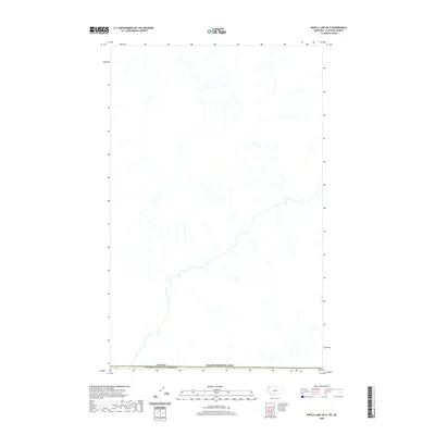 2020 Kintla Lake OE N2020 Print · USGSThe northern reaches of Glacier National Park meet the international border in this modern topographical study. Researchers can trace the drainage patterns and terrain along the Canada United States of America boundary.
 - 2020 Map of Spotted Bear Mountain, 2020 Print
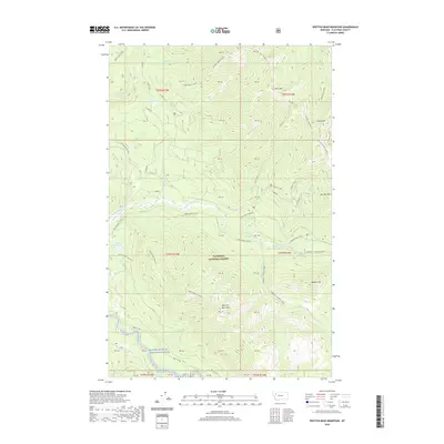 2020 Spotted Bear Mountain2020 Print · USGSFlathead County's high mountain wilderness is captured here in the 2020s, showcasing a landscape of fire lookouts and protected waters. Researchers can trace the paths to the Spotted Bear Lookout, the shores of Webb Lake, and the course of the Spotted Bear River.
 - 2020 Map of String Creek, 2020 Print
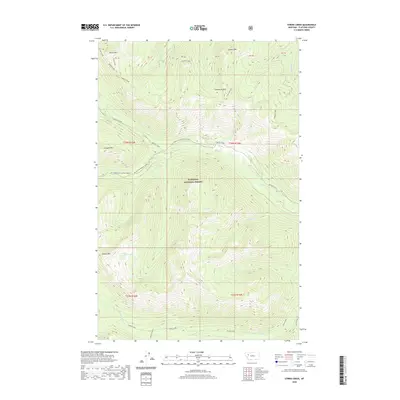 2020 String Creek2020 Print · USGSFlathead County in the early twenty-first century remains a landscape of high summits and remote alpine basins. Researchers can trace the drainages of Bunker Creek and find secluded water bodies like Alcove Lake and Sunburst Lake beneath Tranquil Mountain.
 - 2020 Map of Hubbart Reservoir, 2020 Print
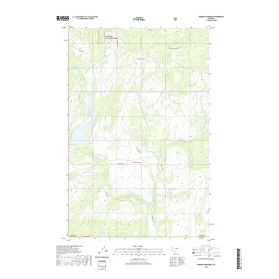 2020 Hubbart Reservoir2020 Print · USGSFlathead County and Sanders County meet in this mountain watershed during the modern era. Trace the path of the Little Bitterroot River and identify old mountain routes like Hubbard Dam Rd, Moore Ranch Rd, and Metcalf Rd.
 - 2020 Map of Mill Pocket Creek, 2020 Print
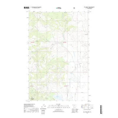 2020 Mill Pocket Creek2020 Print · USGSSanders County in the modern era is defined by the managed waters of the Little Bitterroot River and the eastern edge of the Lolo National Forest. Researchers can trace the layout of regional irrigation at the Upper Dry Fork Reservoir and locate family history at the McKay Cem.
 - 2020 Map of Porphyry Reef, 2020 Print
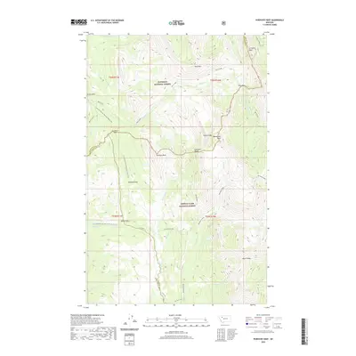 2020 Porphyry Reef2020 Print · USGSThe high Divide wilderness at the meeting of Flathead and Teton counties is captured here in the contemporary era. Hikers and historians can trace the Continental Divide National Scenic Trail as it crosses Sun River Pass and winds past Porphyry Reef.
 - 2020 Map of Meadow Creek, 2020 Print
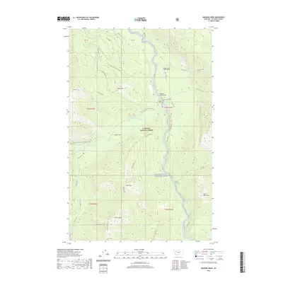 2020 Meadow Creek2020 Print · USGSMontana's protected wilderness comes into focus in this recent survey of the South Fork Flathead River corridor. Researchers can locate remote backcountry infrastructure like the Meadow Creek USFS Airport and trace the steep terrain of Picture Ridge and Meadow Creek Gorge.
 - 2020 Map of Big Salmon Lake East, 2020 Print
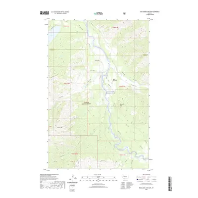 2020 Big Salmon Lake East2020 Print · USGSThe Flathead River wilderness at the start of the twenty-first century remains a vast landscape of peaks and waterway junctions. Researchers can trace historic backcountry crossings like Murphy Ford and Holbrook Ford or locate high-country landmarks including Scarface Peak and Big Salmon Lake.
 - 2020 Map of Rollins, 2020 Print
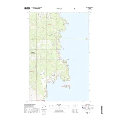 2020 Rollins2020 Print · USGSThe western shores of Flathead Lake are shown in detail during the early 2020s, highlighting the community of Rollins. Researchers can trace local landmarks like the Lakeside Airport, the heights of Mt Johns, and numerous islands including Shelter Island and Goose Island.
 - 2020 Map of Marmot Mountain, 2020 Print
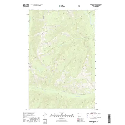 2020 Marmot Mountain2020 Print · USGSFlathead County at the start of the 2020s remains a landscape of high summits and protected waters within the Flathead National Forest. Researchers can trace the paths of the Flathead Wild and Scenic River and identify landmarks like Marmot Mtn and Recluse Lake.
 - 2020 Map of Niarada, 2020 Print
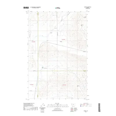 2020 Niarada2020 Print · USGSNorthwestern Montana’s mountain-valley boundary comes into focus in this contemporary survey of the Niarada area. Genealogists and historians can locate the Niarada Cem and trace rural routes through the Hog Heaven Range and the Big Draw.
 - 2020 Map of Shroder Creek, 2020 Print
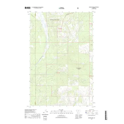 2020 Shroder Creek2020 Print · USGSThe Thompson River corridor north of Plains was a hub of public forest management and mountain hydrology in the early twenty-first century. Researchers can trace the timber access routes of the Thompson River ACM Rd and locate landmarks like Bar Z Peak and Pinehill.
 - 2020 Map of Amphitheatre Mountain, 2020 Print
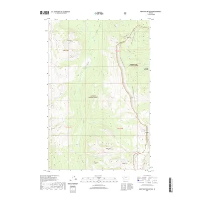 2020 Amphitheatre Mountain2020 Print · USGSHigh in the Montana Rockies, this 2020 map covers the pristine wilderness of the Continental Divide. Backcountry travelers and researchers can trace the legendary Chinese Wall and navigate the high passes at Spotted Bear Pass and Larch Hill Pass.
 - 2020 Map of Trilobite Peak, 2020 Print
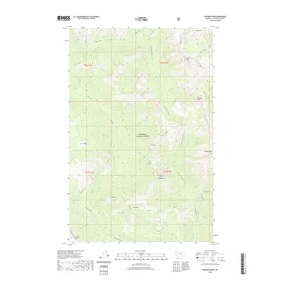 2020 Trilobite Peak2020 Print · USGSThe high wilderness of Flathead County is captured in this recent survey, showing the complex ridges and river headwaters. You can trace remote backcountry routes like the Dolly Varden-Pentagon trail as it passes Shadow Lake and the steep ascent to Switchback Pass.
 - 2020 Map of Swan Peak, 2020 Print
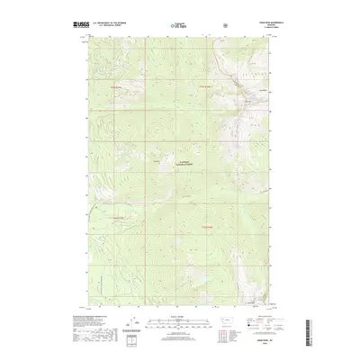 2020 Swan Peak2020 Print · USGSThe high crests of the Swan Range are documented here in the early twenty-first century as they span the Flathead and Lake County lines. Hikers and researchers can trace remote forest routes and alpine water features like Pony Lake, Union Peak, and Lion Cr.
 - 2020 Map of Tin Creek, 2020 Print
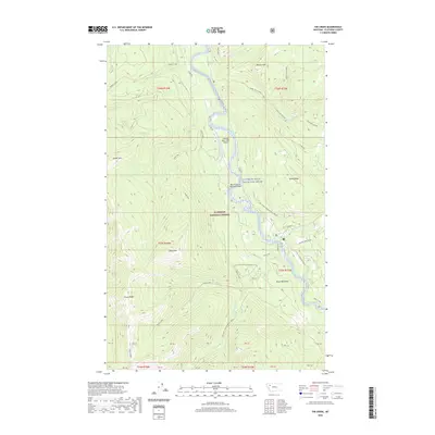 2020 Tin Creek2020 Print · USGSThe high mountain drainages of Flathead County are captured in this recent survey of the northern Rockies. Researchers and outdoor enthusiasts can trace the precise course of Soldier Creek and its many branches like Soldier Creek across the steep terrain.
 - 2020 Map of Murr Peak, 2020 Print
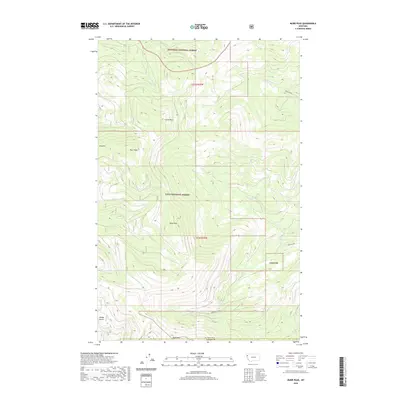 2020 Murr Peak2020 Print · USGSThe high Montana wilderness at the Flathead and Sanders county line is captured here in the early twenty-first century. Researchers can trace the drainages of Murr Cr and Tamarack Cr between peaks like Castle Rock and Bold Peak.
 - 2020 Map of Three Sisters, 2020 Print
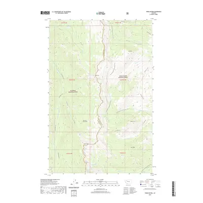 2020 Three Sisters2020 Print · USGSThe high crest of the Montana Rockies comes into focus in this recent survey of the Continental Divide. Backcountry travelers and geographers can trace the Continental Divide National Scenic Trail as it passes Lookout Mtn and the Lewis and Clark Range.
 - 2020 Map of Cathedral Peak, 2020 Print
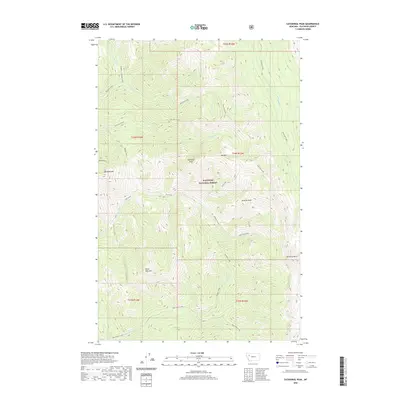 2020 Cathedral Peak2020 Print · USGSFlathead County's high wilderness is documented here in the early twenty-first century, showing a landscape of named summits and watersheds. Researchers can locate specific peaks like Cathedral Peak and Minaret Peak or trace the paths of Harrison Creek and Black Bear Creek.
 - 2020 Map of Holland Peak, 2020 Print
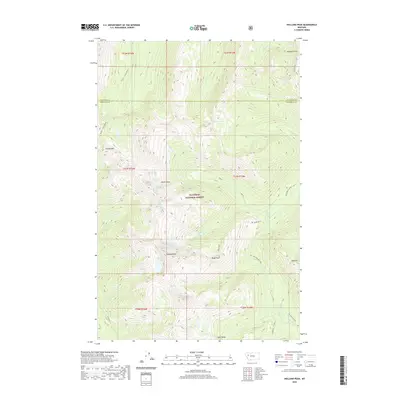 2020 Holland Peak2020 Print · USGSThe high backcountry of the Swan Range is captured here in the early twenty-first century, showing the remote wilderness of the Flathead National Forest. Researchers can trace the alpine geography of Holland Peak, the Albino Basin, and the waters of Sappho Lake.
 - 2020 Map of Connor Creek, 2020 Print
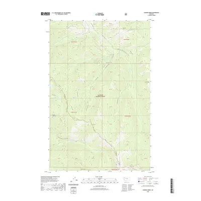 2020 Connor Creek2020 Print · USGSHigh in the Montana wilderness during the early twenty-first century, this map shows a landscape of glacial basins and forest service routes. Trace the paths of the Alpine 7 and Wire Trail as they connect remote waters like Bond Lake and Trinkus Lake.
Showing maps 1-25 of 293
Top cities of Flathead County
- Kalispell historical maps
- Whitefish historical maps
- Columbia Falls historical maps
- West Glacier historical maps
- Olney historical maps
Frequently asked questions
- What are the different types of historical maps available for Flathead County?
- What is the oldest map of Flathead County?
- Where can I purchase historical maps of Flathead County for my home or office?
- Where can I download high-res historical maps of Flathead County?
- Are there historical topographic maps available for Flathead County?
- Is there historical aerial imagery available for Flathead County?
- Where are historical maps of Flathead County sourced from?