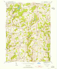
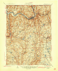
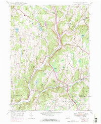
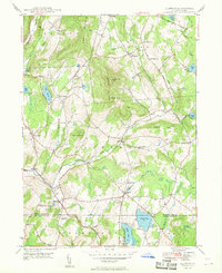
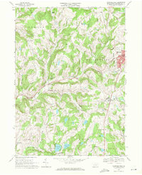
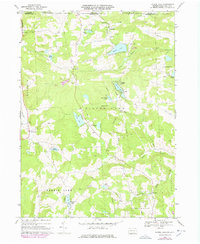
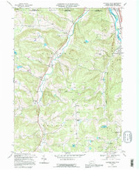
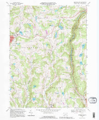
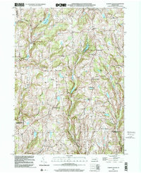
1945 Map of Auburn Center
USGS Topo · Published 1956This historical map portrays the area of Auburn Center in 1945, primarily covering Susquehanna County as well as portions of Wyoming County and Bradford County. Featuring a scale of 1:24000, this map provides a highly detailed snapshot of the terrain, roads, buildings, counties, and historical landmarks in the Auburn Center region at the time. Published in 1956, it is one of 6 known editions of this map due to revisions or reprints.
Find a feature on this map
46 named features on this map. Tap any name to fly to it.
Don’t see what you’re looking for? This feature index may not catch every label — zoom into the map to look around manually.
Map Details
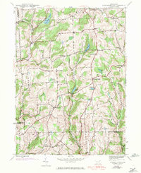
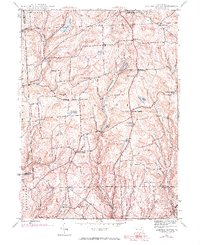
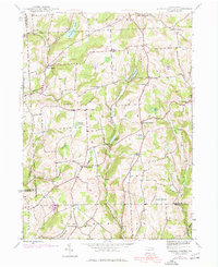
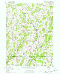
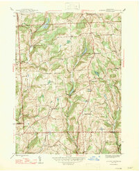
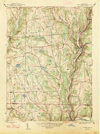
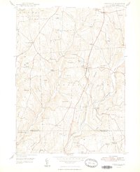
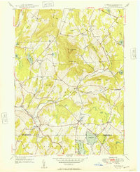
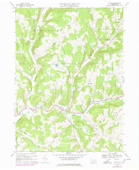
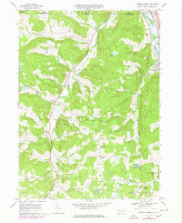
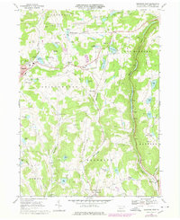
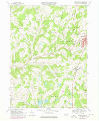
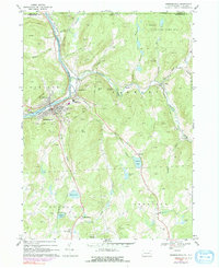
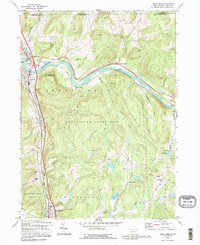
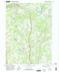
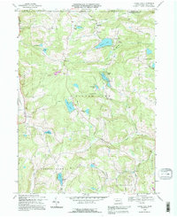
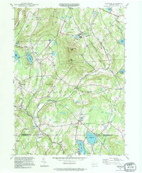
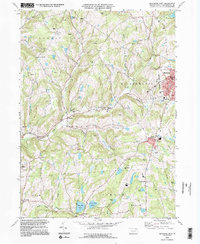
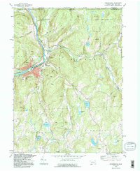
Editions of this 1945 Auburn Center Map
6 editions found
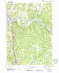
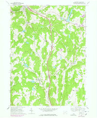
Historical Maps of Braintrim Township Through Time
31 maps found

1932 Susquehanna
Susquehanna County, PA
1935 Susquehanna
Susquehanna County, PA
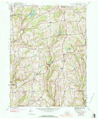
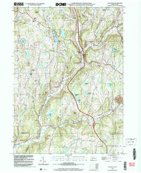
1945 Auburn Center
Susquehanna County, PA
1946 Clifford
Susquehanna County, PA
1946 Lenoxville
Susquehanna County, PA
1946 Springville
Susquehanna County, PA
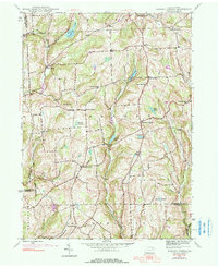
1947 Auburn Center
Susquehanna County, PA
1947 Hopbottom
Susquehanna County, PA
1948 Clifford
Susquehanna County, PA
1948 Springville
Susquehanna County, PA
1949 Clifford
Susquehanna County, PA

1949 Lenoxville
Susquehanna County, PA
1967 Lawton
Susquehanna County, PA
1967 Montrose West
Susquehanna County, PA
1968 Franklin Forks
Susquehanna County, PA
1968 Great Bend
Susquehanna County, PA
1968 Harford
Susquehanna County, PA
1968 Laurel Lake
Susquehanna County, PA
1968 Montrose East
Susquehanna County, PA
1968 Montrose West
Susquehanna County, PA
1968 Susquehanna
Susquehanna County, PA
1992 Franklin Forks
Susquehanna County, PA
1992 Great Bend
Susquehanna County, PA
1992 Harford
Susquehanna County, PA
1992 Laurel Lake
Susquehanna County, PA
1992 Montrose East
Susquehanna County, PA
1994 Clifford
Susquehanna County, PA
1994 Montrose West
Susquehanna County, PA
1994 Susquehanna
Susquehanna County, PA
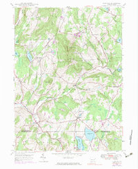
1999 Auburn Center
Susquehanna County, PA
1999 Lenoxville
Susquehanna County, PA
Featured Locations
- Rush Township, PA
- Tuscarora Township, PA
- Stevens Township, PA
- Scranton Corners, Meshoppen Township
- Auburn Center, Auburn Township