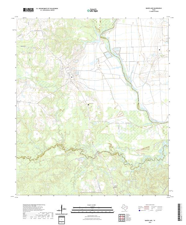
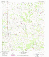
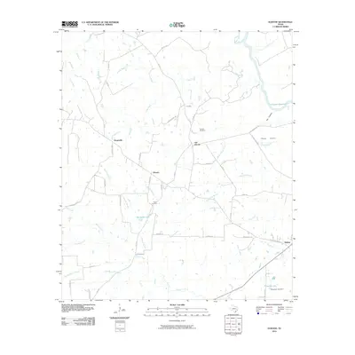
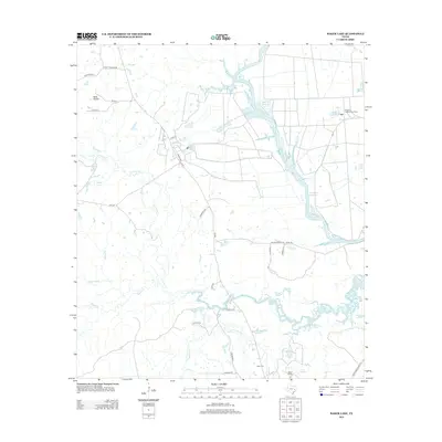
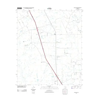
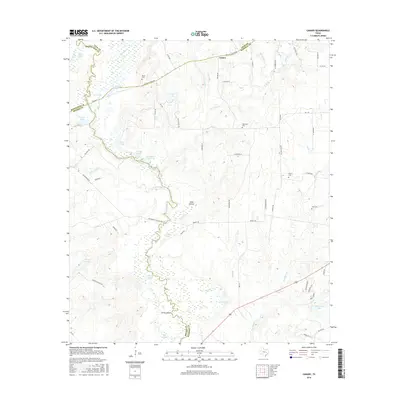
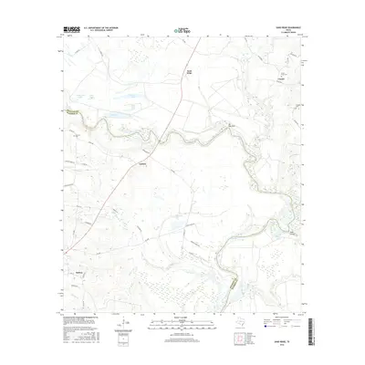
2022 Map of Baker Lake
USGS Topo · Published 2022About this map
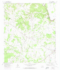
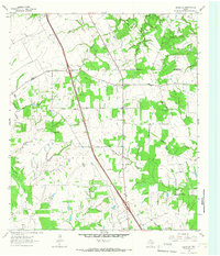
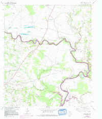
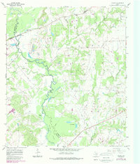
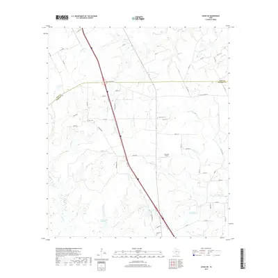
The Trinity River serves as the dominant natural boundary on this map, separating Madison and Houston counties as it meanders through a landscape defined by significant water management and rural cemeteries. The presence of the Eastham Reservoir and Ferguson Reservoir Number 1 indicates the intensive hydrologic modification of the river's eastern floodplains. To the west, the settlement at Bald Prairie anchors a region of smaller creeks and branches, including Larrison Cr and Pine Br.
Find a feature on this map
44 named features on this map. Tap any name to fly to it.
Don’t see what you’re looking for? This feature index may not catch every label — zoom into the map to look around manually.
Map Details
Editions of this 2022 Baker Lake Map
This is the sole edition of this map. No revisions or reprints were ever made.
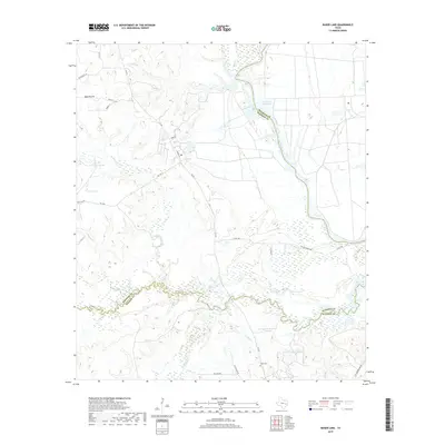
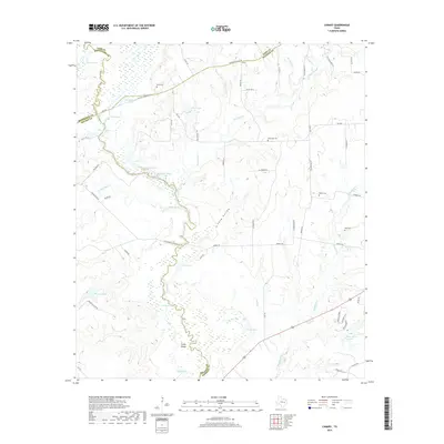
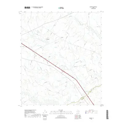
Historical Maps of Walker County Through Time
43 maps found
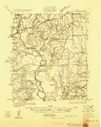
1925 Iola No 2
Madison County, TX
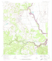
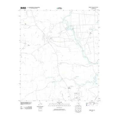
1962 Baker Lake
Madison County, TX
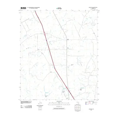
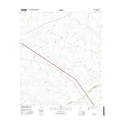
1962 Connor
Madison County, TX
1964 Elwood
Madison County, TX
1964 Leona SW
Madison County, TX
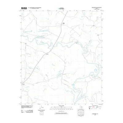
1964 Sand Ridge
Madison County, TX
1965 Canary
Madison County, TX
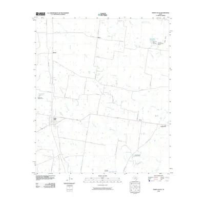
1965 North Zulch
Madison County, TX
2010 Baker Lake
Madison County, TX
2010 Canary
Madison County, TX
2010 Connor
Madison County, TX
2010 Elwood
Madison County, TX
2010 Leona SW
Madison County, TX
2010 North Zulch
Madison County, TX
2010 Sand Ridge
Madison County, TX
2013 Baker Lake
Madison County, TX
2013 Canary
Madison County, TX
2013 Connor
Madison County, TX
2013 Elwood
Madison County, TX
2013 Leona SW
Madison County, TX
2013 North Zulch
Madison County, TX
2013 Sand Ridge
Madison County, TX
2016 Baker Lake
Madison County, TX
2016 Canary
Madison County, TX
2016 Connor
Madison County, TX
2016 Elwood
Madison County, TX
2016 Leona SW
Madison County, TX

2016 North Zulch
Madison County, TX
2016 Sand Ridge
Madison County, TX
2019 Baker Lake
Madison County, TX
2019 Canary
Madison County, TX
2019 Connor
Madison County, TX
2019 Elwood
Madison County, TX
2019 Leona SW
Madison County, TX
2019 North Zulch
Madison County, TX
2019 Sand Ridge
Madison County, TX
2022 Baker Lake
Madison County, TX
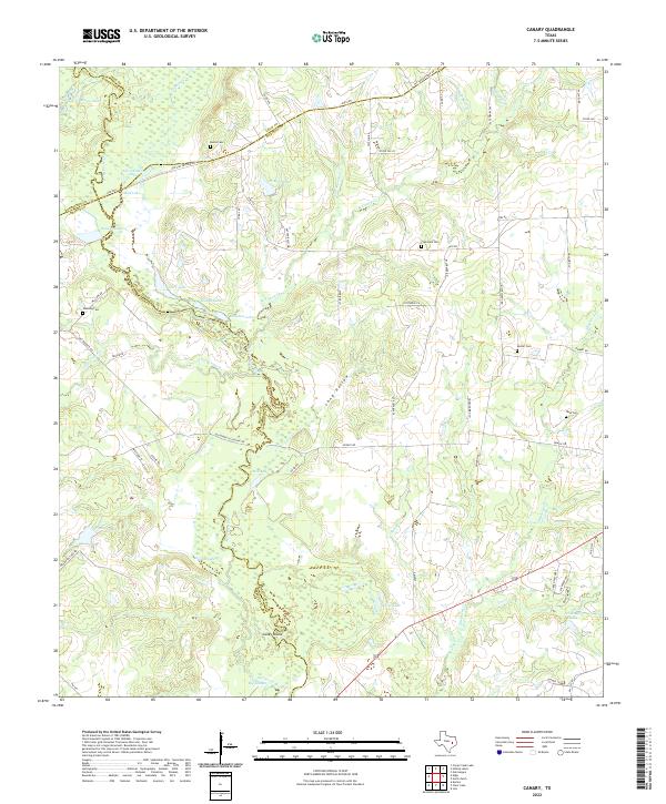
2022 Canary
Madison County, TX
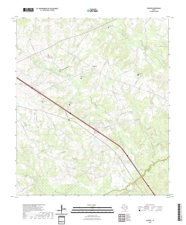
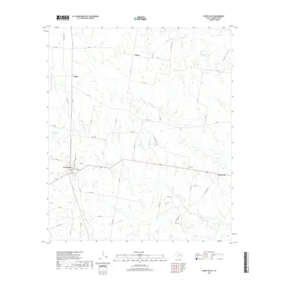
2022 Connor
Madison County, TX
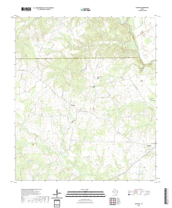
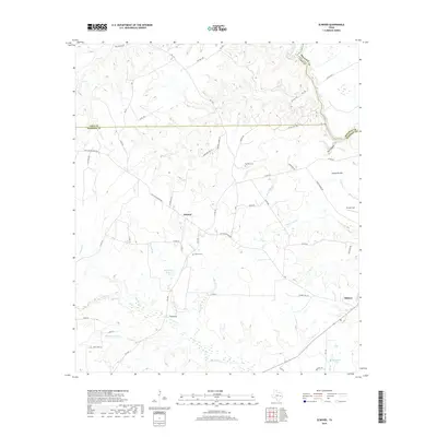
2022 Elwood
Madison County, TX
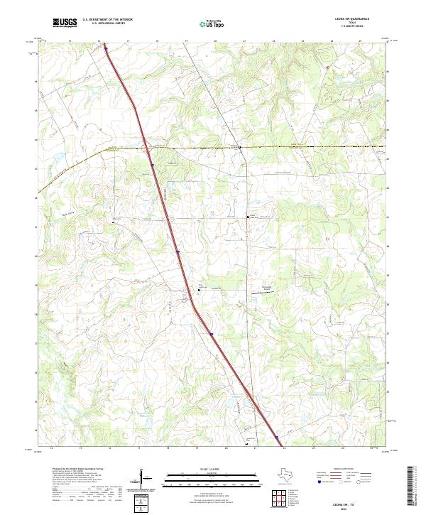
2022 Leona SW
Madison County, TX
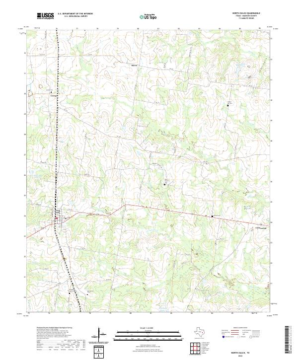
2022 North Zulch
Madison County, TX
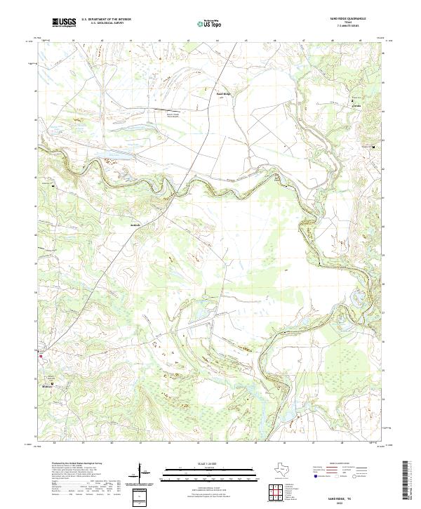
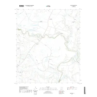
2022 Sand Ridge
Madison County, TX