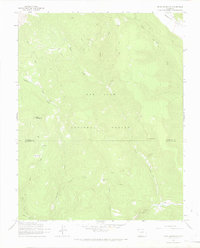
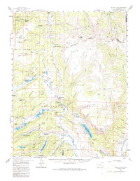
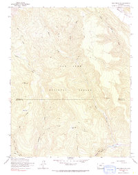
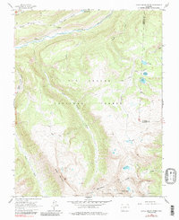
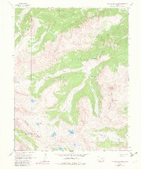
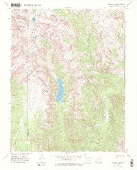
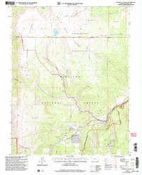
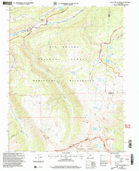
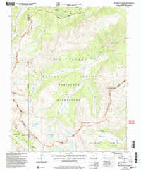
1964 Map of Bear Mountain
USGS Topo · Published 1967This historical map portrays the area of Bear Mountain in 1964, primarily covering Hinsdale County as well as portions of Archuleta County. Featuring a scale of 1:24000, this map provides a highly detailed snapshot of the terrain, roads, buildings, counties, and historical landmarks in the Bear Mountain region at the time. Published in 1967, it is one of 4 known editions of this map due to revisions or reprints.
Map Details
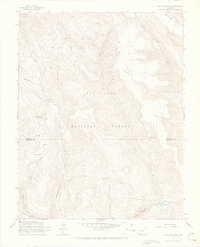
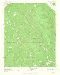
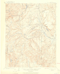
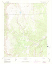
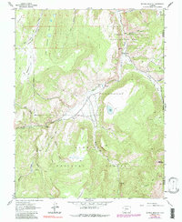
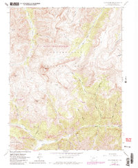
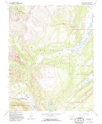
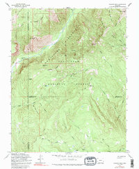
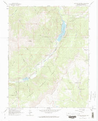
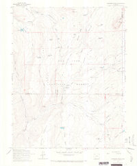
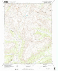
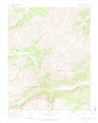
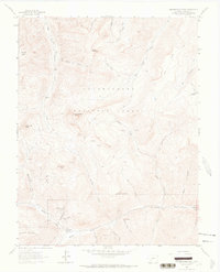
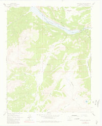
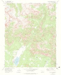
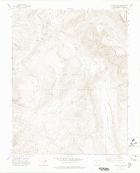
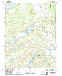
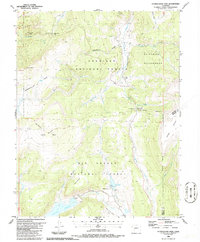
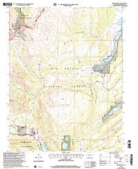
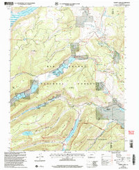
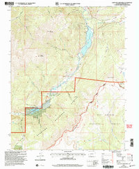
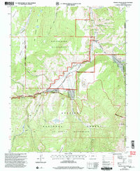
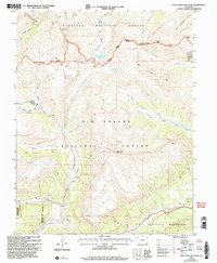
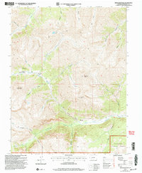
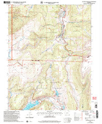
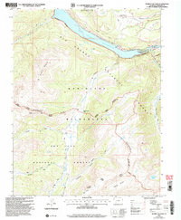
Editions of this 1964 Bear Mountain Map
4 editions found
Historical Maps of Archuleta County Through Time
33 maps found

1905 San Cristobal
Hinsdale County, CO
1907 San Cristobal
Hinsdale County, CO
1959 Bristol Head
Hinsdale County, CO
1963 Cannibal Plateau
Hinsdale County, CO
1963 Mineral Mountain
Hinsdale County, CO
1963 Uncompahgre Peak
Hinsdale County, CO
1964 Bear Mountain
Hinsdale County, CO
1964 Finger Mesa
Hinsdale County, CO
1964 Granite Peak
Hinsdale County, CO
1964 Lake San Cristobal
Hinsdale County, CO
1964 Little Squaw Creek
Hinsdale County, CO
1964 Oakbrush Ridge
Hinsdale County, CO
1964 Pole Creek Mountain
Hinsdale County, CO
1964 Redcloud Peak
Hinsdale County, CO
1964 Rio Grande Pyramid
Hinsdale County, CO
1964 Uncompahgre Peak
Hinsdale County, CO
1964 Weminuche Pass
Hinsdale County, CO
1973 Cimarrona Peak
Hinsdale County, CO
1973 Emerald Lake
Hinsdale County, CO
1973 Granite Lake
Hinsdale County, CO
1986 Hermit Lakes
Hinsdale County, CO
1986 Slumgullion Pass
Hinsdale County, CO
2001 Cannibal Plateau
Hinsdale County, CO
2001 Finger Mesa
Hinsdale County, CO
2001 Hermit Lakes
Hinsdale County, CO
2001 Lake San Cristobal
Hinsdale County, CO
2001 Little Squaw Creek
Hinsdale County, CO
2001 Mineral Mountain
Hinsdale County, CO
2001 Pole Creek Mountain
Hinsdale County, CO
2001 Redcloud Peak
Hinsdale County, CO
2001 Rio Grande Pyramid
Hinsdale County, CO
2001 Slumgullion Pass
Hinsdale County, CO
2001 Weminuche Pass
Hinsdale County, CO