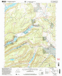
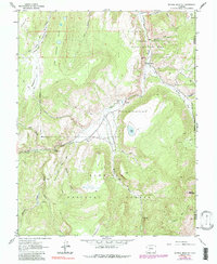
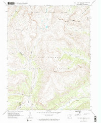
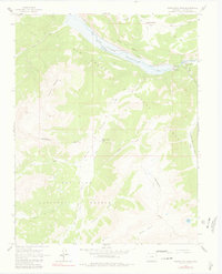
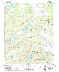
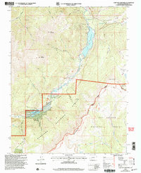
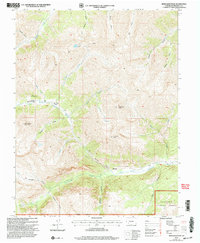
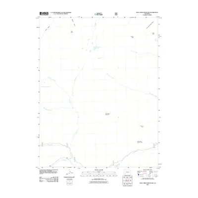
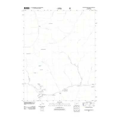
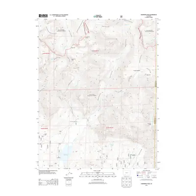
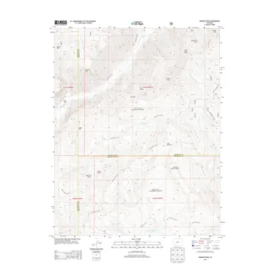
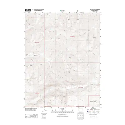
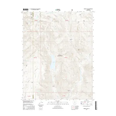
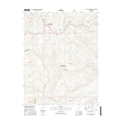
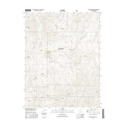
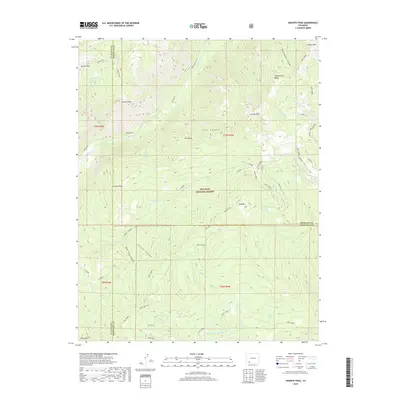
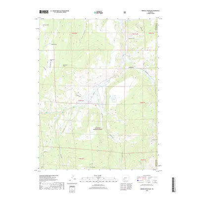
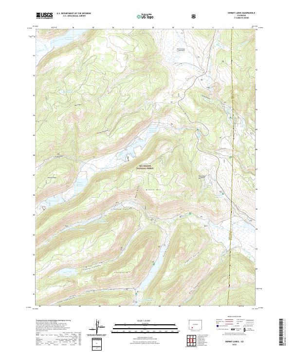
2001 Map of Hermit Lakes
USGS Topo · Published 2005About this map
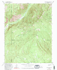
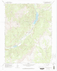
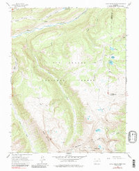
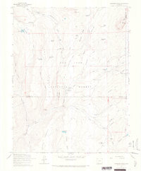
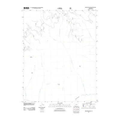
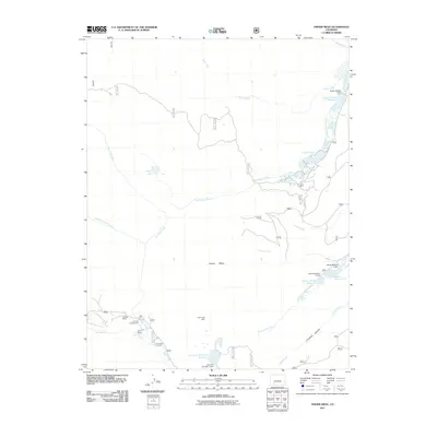
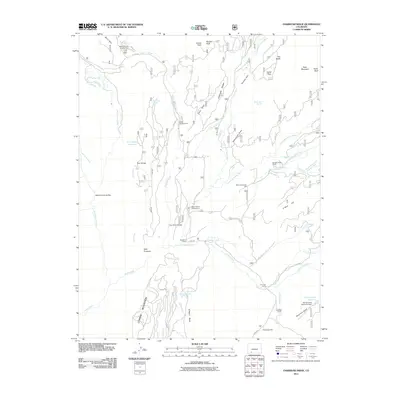
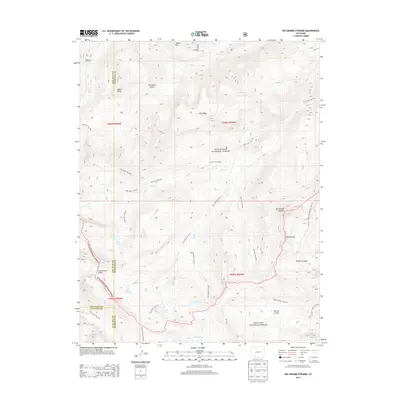
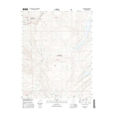
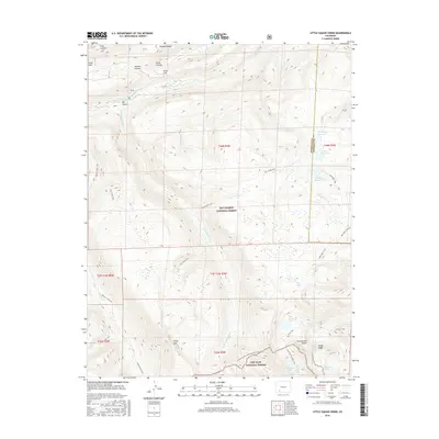
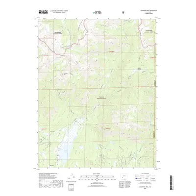
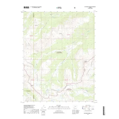
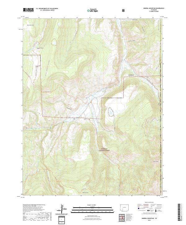
Brown Lakes Estates and the historic San Juan Ranch represent the primary human footprints in this high-altitude landscape within the Rio Grande National Forest. The map detail centers on a complex network of water management and natural drainage, where the waters of Clear Creek and its tributaries are harnessed by structures like the Spring Creek Reservoir and Road Canyon Reservoir No 1. The terrain is defined by dramatic elevation changes, notably at North Clear Creek Falls and the deep cuts of Box Canyon and Long Canyon. Recreational and agricultural infrastructure is evident through the inclusion of a Boat Ramp and various 4wd tracks that provide access to the Weminuche Wilderness boundary. These trails and seasonal roads suggest a landscape primarily utilized for ranching, forest management, and backcountry exploration at the start of the 21st century.
Find a feature on this map
52 named features on this map. Tap any name to fly to it.
Don’t see what you’re looking for? This feature index may not catch every label — zoom into the map to look around manually.
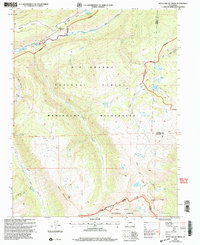
Map Details
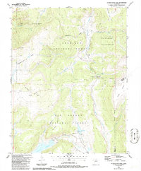
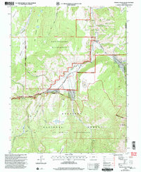
Editions of this 2001 Hermit Lakes Map
This is the sole edition of this map. No revisions or reprints were ever made.
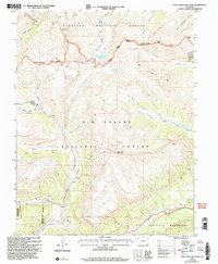
Historical Maps of Mineral County Through Time
123 maps found

1905 San Cristobal
Hinsdale County, CO
1907 San Cristobal
Hinsdale County, CO
1959 Bristol Head
Hinsdale County, CO
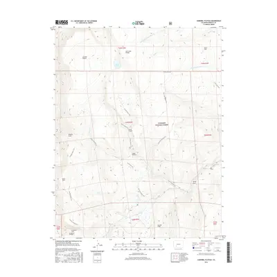
1963 Cannibal Plateau
Hinsdale County, CO
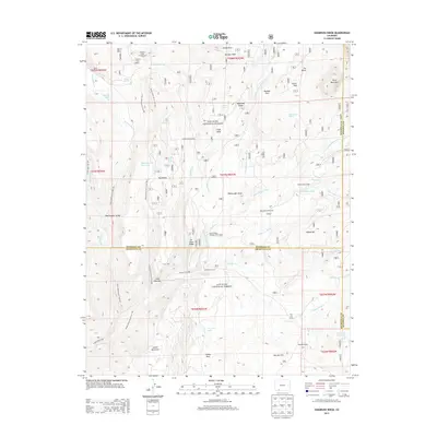
1963 Mineral Mountain
Hinsdale County, CO
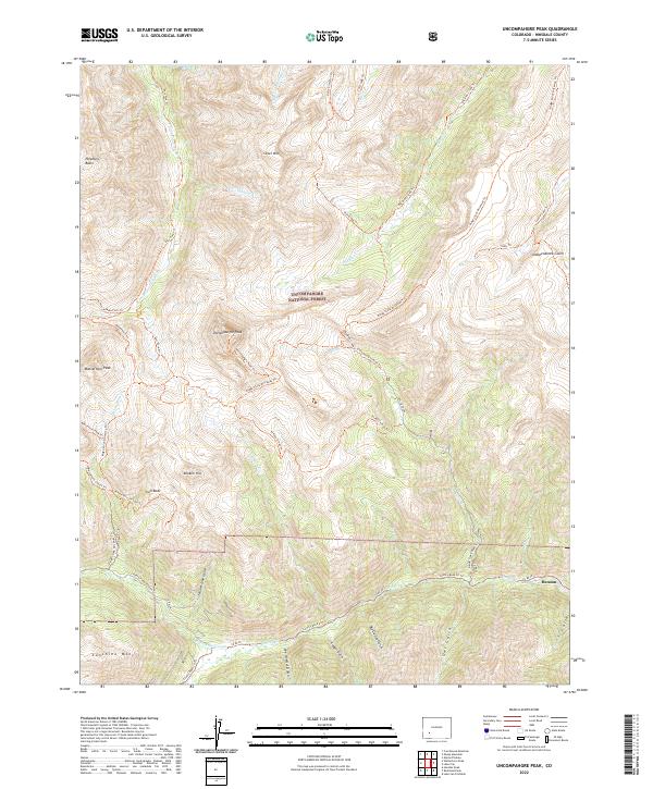
1963 Uncompahgre Peak
Hinsdale County, CO
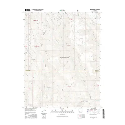
1964 Bear Mountain
Hinsdale County, CO
1964 Finger Mesa
Hinsdale County, CO
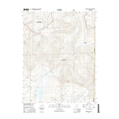
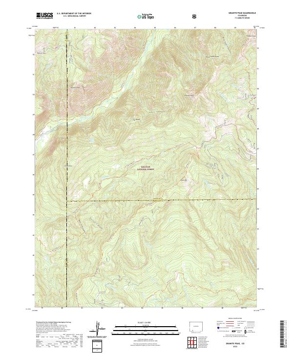
1964 Granite Peak
Hinsdale County, CO
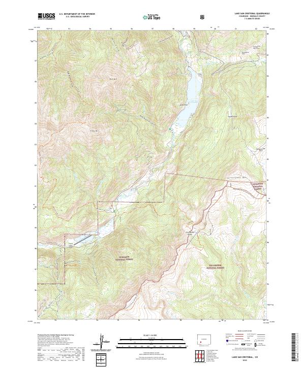
1964 Lake San Cristobal
Hinsdale County, CO
1964 Little Squaw Creek
Hinsdale County, CO
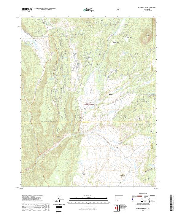
1964 Oakbrush Ridge
Hinsdale County, CO
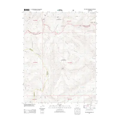
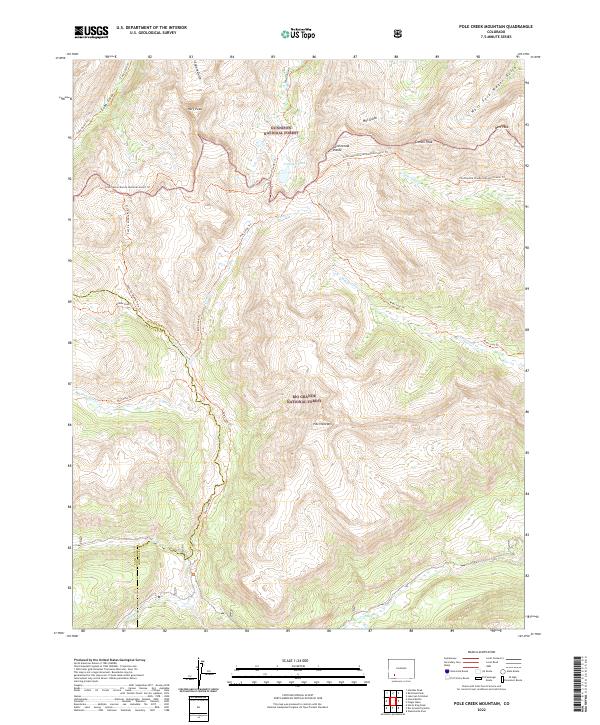
1964 Pole Creek Mountain
Hinsdale County, CO
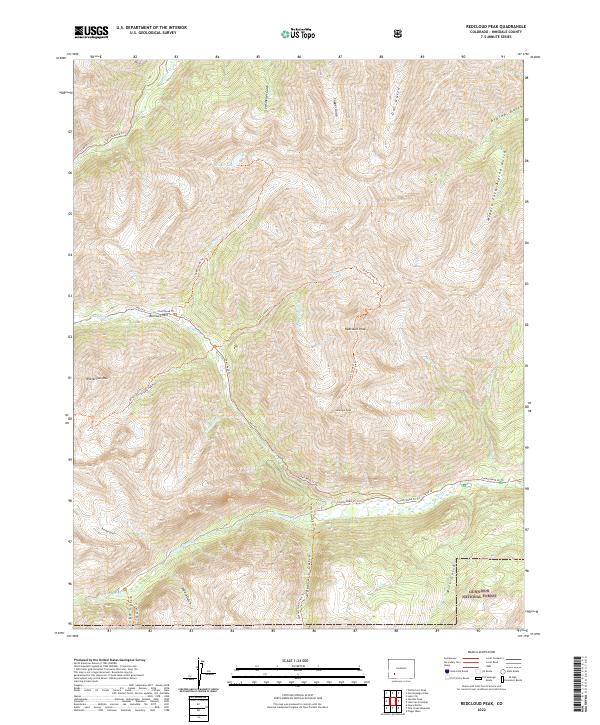
1964 Redcloud Peak
Hinsdale County, CO
1964 Rio Grande Pyramid
Hinsdale County, CO
1964 Uncompahgre Peak
Hinsdale County, CO
1964 Weminuche Pass
Hinsdale County, CO
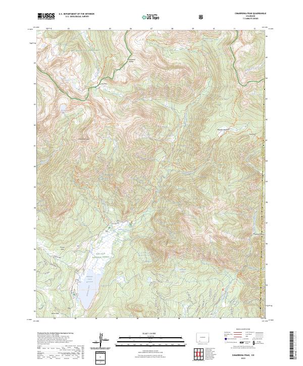
1973 Cimarrona Peak
Hinsdale County, CO
1973 Emerald Lake
Hinsdale County, CO
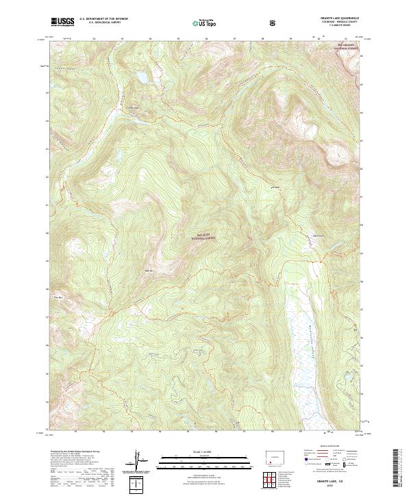
1973 Granite Lake
Hinsdale County, CO
1986 Hermit Lakes
Hinsdale County, CO
1986 Slumgullion Pass
Hinsdale County, CO
2001 Cannibal Plateau
Hinsdale County, CO
2001 Finger Mesa
Hinsdale County, CO
2001 Hermit Lakes
Hinsdale County, CO
2001 Lake San Cristobal
Hinsdale County, CO
2001 Little Squaw Creek
Hinsdale County, CO
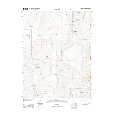
2001 Mineral Mountain
Hinsdale County, CO
2001 Pole Creek Mountain
Hinsdale County, CO
2001 Redcloud Peak
Hinsdale County, CO
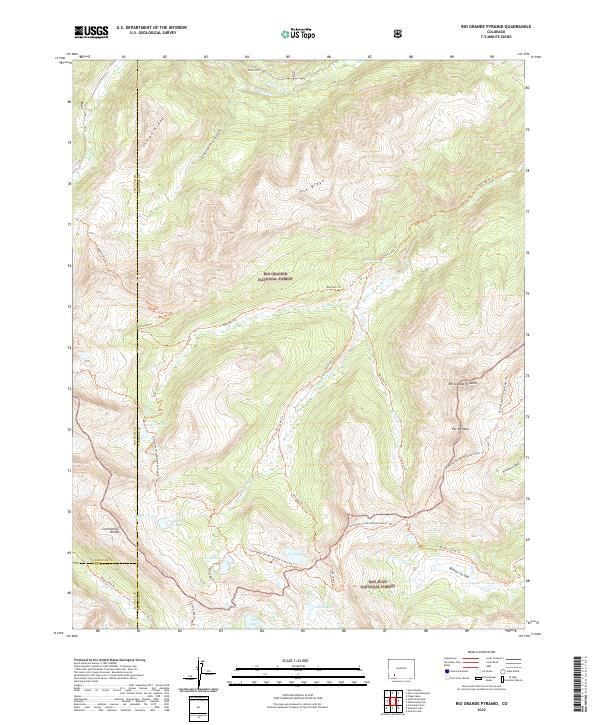
2001 Rio Grande Pyramid
Hinsdale County, CO
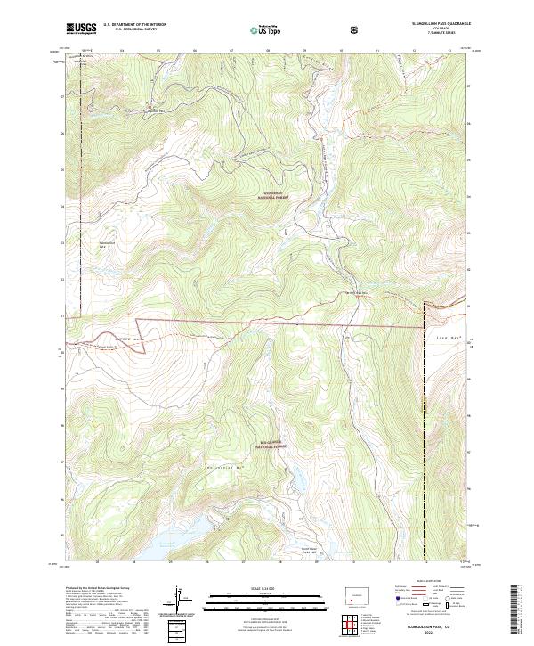
2001 Slumgullion Pass
Hinsdale County, CO
2001 Weminuche Pass
Hinsdale County, CO
2011 Bear Mountain
Hinsdale County, CO
2011 Cannibal Plateau
Hinsdale County, CO
2011 Cimarrona Peak
Hinsdale County, CO
2011 Emerald Lake
Hinsdale County, CO
2011 Finger Mesa
Hinsdale County, CO
2011 Granite Lake
Hinsdale County, CO
2011 Granite Peak
Hinsdale County, CO
2011 Hermit Lakes
Hinsdale County, CO
2011 Knife Edge
Hinsdale County, CO
2011 Lake San Cristobal
Hinsdale County, CO
2011 Mineral Mountain
Hinsdale County, CO
2011 Oakbrush Ridge
Hinsdale County, CO
2011 Pole Creek Mountain
Hinsdale County, CO
2011 Redcloud Peak
Hinsdale County, CO
2011 Rio Grande Pyramid
Hinsdale County, CO
2011 Slumgullion Pass
Hinsdale County, CO
2011 Uncompahgre Peak
Hinsdale County, CO
2011 Weminuche Pass
Hinsdale County, CO
2013 Bear Mountain
Hinsdale County, CO
2013 Cannibal Plateau
Hinsdale County, CO
2013 Cimarrona Peak
Hinsdale County, CO
2013 Emerald Lake
Hinsdale County, CO
2013 Finger Mesa
Hinsdale County, CO
2013 Granite Lake
Hinsdale County, CO
2013 Granite Peak
Hinsdale County, CO
2013 Hermit Lakes
Hinsdale County, CO
2013 Knife Edge
Hinsdale County, CO
2013 Lake San Cristobal
Hinsdale County, CO
2013 Mineral Mountain
Hinsdale County, CO
2013 Oakbrush Ridge
Hinsdale County, CO
2013 Pole Creek Mountain
Hinsdale County, CO
2013 Redcloud Peak
Hinsdale County, CO
2013 Rio Grande Pyramid
Hinsdale County, CO
2013 Slumgullion Pass
Hinsdale County, CO
2013 Uncompahgre Peak
Hinsdale County, CO
2013 Weminuche Pass
Hinsdale County, CO
2016 Bear Mountain
Hinsdale County, CO
2016 Cannibal Plateau
Hinsdale County, CO
2016 Cimarrona Peak
Hinsdale County, CO
2016 Emerald Lake
Hinsdale County, CO
2016 Finger Mesa
Hinsdale County, CO
2016 Granite Lake
Hinsdale County, CO
2016 Granite Peak
Hinsdale County, CO
2016 Hermit Lakes
Hinsdale County, CO
2016 Knife Edge
Hinsdale County, CO
2016 Lake San Cristobal
Hinsdale County, CO
2016 Mineral Mountain
Hinsdale County, CO
2016 Oakbrush Ridge
Hinsdale County, CO
2016 Pole Creek Mountain
Hinsdale County, CO
2016 Redcloud Peak
Hinsdale County, CO
2016 Rio Grande Pyramid
Hinsdale County, CO
2016 Slumgullion Pass
Hinsdale County, CO
2016 Uncompahgre Peak
Hinsdale County, CO
2016 Weminuche Pass
Hinsdale County, CO
2019 Bear Mountain
Hinsdale County, CO
2019 Cannibal Plateau
Hinsdale County, CO
2019 Cimarrona Peak
Hinsdale County, CO
2019 Emerald Lake
Hinsdale County, CO
2019 Finger Mesa
Hinsdale County, CO
2019 Granite Lake
Hinsdale County, CO
2019 Granite Peak
Hinsdale County, CO
2019 Hermit Lakes
Hinsdale County, CO
2019 Knife Edge
Hinsdale County, CO
2019 Lake San Cristobal
Hinsdale County, CO
2019 Mineral Mountain
Hinsdale County, CO
2019 Oakbrush Ridge
Hinsdale County, CO
2019 Pole Creek Mountain
Hinsdale County, CO
2019 Redcloud Peak
Hinsdale County, CO
2019 Rio Grande Pyramid
Hinsdale County, CO
2019 Slumgullion Pass
Hinsdale County, CO
2019 Uncompahgre Peak
Hinsdale County, CO
2019 Weminuche Pass
Hinsdale County, CO
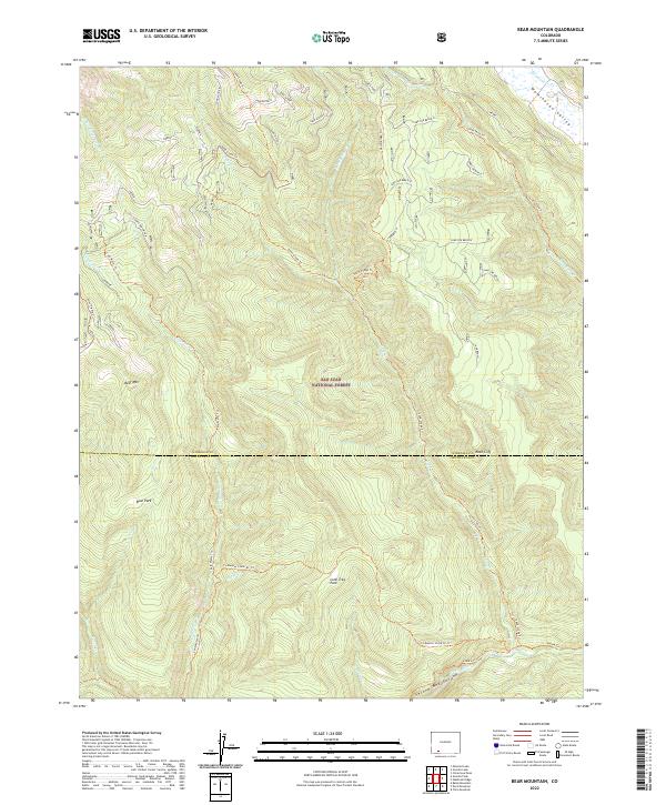
2022 Bear Mountain
Hinsdale County, CO
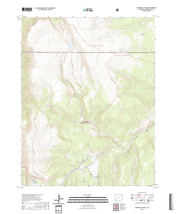
2022 Cannibal Plateau
Hinsdale County, CO
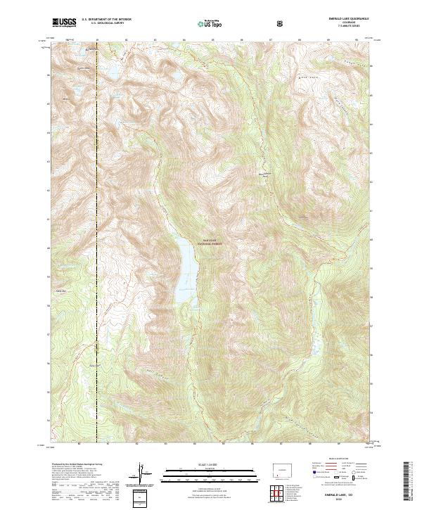
2022 Emerald Lake
Hinsdale County, CO
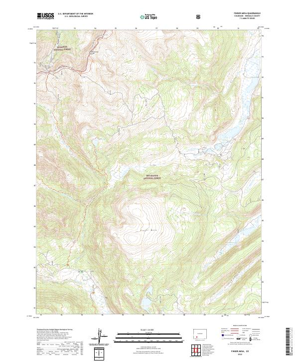
2022 Finger Mesa
Hinsdale County, CO
2022 Granite Lake
Hinsdale County, CO
2022 Granite Peak
Hinsdale County, CO
2022 Hermit Lakes
Hinsdale County, CO
2022 Lake San Cristobal
Hinsdale County, CO
2022 Mineral Mountain
Hinsdale County, CO
2022 Oakbrush Ridge
Hinsdale County, CO
2022 Pole Creek Mountain
Hinsdale County, CO
2022 Redcloud Peak
Hinsdale County, CO
2022 Rio Grande Pyramid
Hinsdale County, CO
2022 Slumgullion Pass
Hinsdale County, CO
2022 Uncompahgre Peak
Hinsdale County, CO
2023 Cimarrona Peak
Hinsdale County, CO
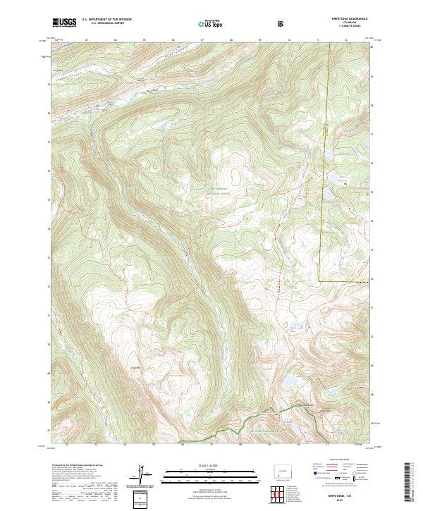
2023 Knife Edge
Hinsdale County, CO
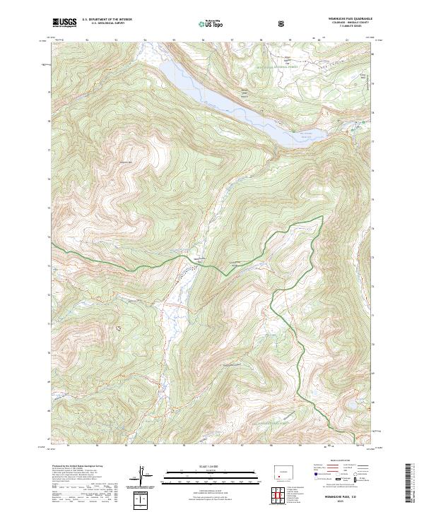
2023 Weminuche Pass
Hinsdale County, CO