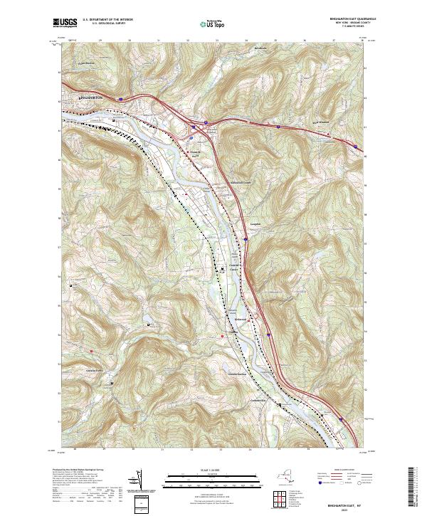
2023 Map of Binghamton East
USGS Topo · Published 2023About this map
The Susquehanna River winds through this landscape, defining the corridor between Binghamton and the southern valley settlements. This modern survey illustrates the persistent rural-to-suburban transition of the eastern Broome County terrain, where established communities like Kirkwood and Conklin sit alongside several river islands, including Moore Island and Conklin Island. For genealogists and local historians, the sheet is exceptionally well-documented with small burial grounds tucked into the hills and valleys, such as the Finch Family Cem near Little Snake Creek and the Levee Family Cem. The development of Sherwood Hollow and Fivemile Point shows the expansion of residential and commercial footprints along the major transit routes that parallel the river, while natural features like Doubleday Glen and Popes Ravine punctuate the steep ridges rising away from the water.
Find a feature on this map
156 named features on this map. Tap any name to fly to it.
Don’t see what you’re looking for? This feature index may not catch every label — zoom into the map to look around manually.
Map Details
Editions of this 2023 Binghamton East Map
This is the sole edition of this map. No revisions or reprints were ever made.
Other maps of this area

1904 · Binghamton
USGS Topo · 1:62,500

1905 · Nineveh
USGS Topo · 1:62,500

1932 · Susquehanna
USGS Topo · 1:62,500

1934 · Castle Creek
USGS Topo · 1:24,000

1935 · Binghamton West
USGS Topo · 1:24,000

1935 · Chenango Forks
USGS Topo · 1:24,000

1935 · Susquehanna
USGS Topo · 1:62,500

1937 · Binghamton East
USGS Topo · 1:24,000

1942 · Binghamton West
USGS Topo · 1:31,680

1942 · Castle Creek
USGS Topo · 1:31,680