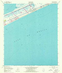
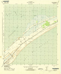
1954 Map of Caplen
USGS Topo · Published 1978About this map
The Bolivar Peninsula separates the churning Gulf of Mexico from the calmer waters of East Bay in this mid-century look at the Texas coast. The landscape is defined by the Intracostal Waterway cutting through the marshy interior, which connects Yates Cove and Big Pasture Bayou to the larger shipping lanes. Small coastal communities like Caplen and Patton are situated along the thin strip of habitable land between the Gulf beach and the wetlands of Crab Lake.
Find a feature on this map
16 named features on this map. Tap any name to fly to it.
Don’t see what you’re looking for? This feature index may not catch every label — zoom into the map to look around manually.
Map Details
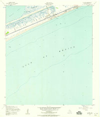
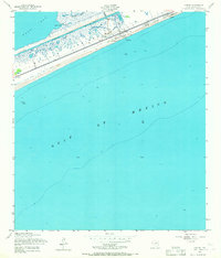
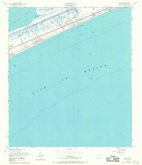
Editions of this 1954 Caplen Map
4 editions found
Other maps of this area

1931 · Flake
USGS Topo · 1:24,000

1931 · High Island
USGS Topo · 1:24,000

1931 · Frozen Point
USGS Topo · 1:24,000

1933 · Frozen Point
USGS Topo · 1:31,680

1933 · Caplen
USGS Topo · 1:31,680

1933 · The Jetties
USGS Topo · 1:31,680

1933 · Whites Lake
USGS Topo · 1:31,680

1933 · Flake
USGS Topo · 1:31,680

1943 · High Island
USGS Topo · 1:31,680
1943 · Flake
USGS Topo · 1:25,000