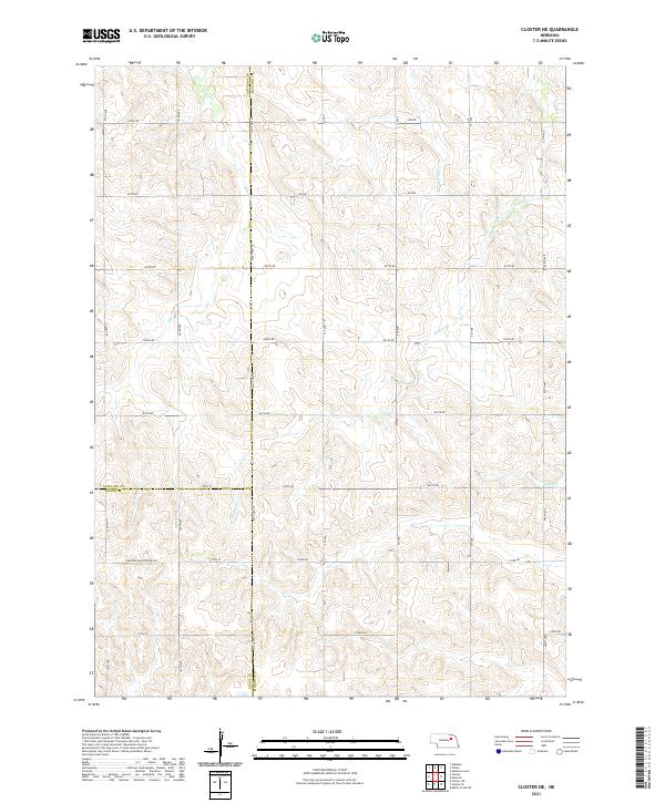
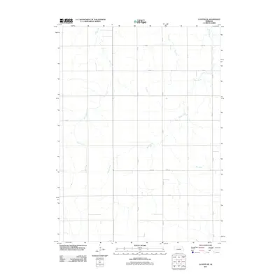
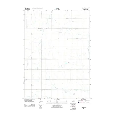
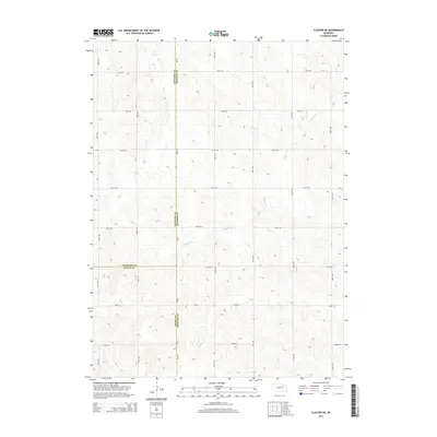
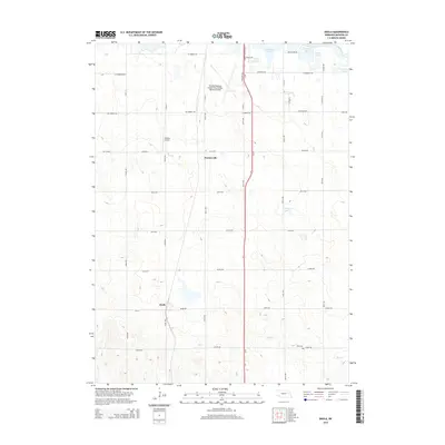
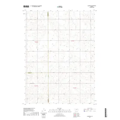
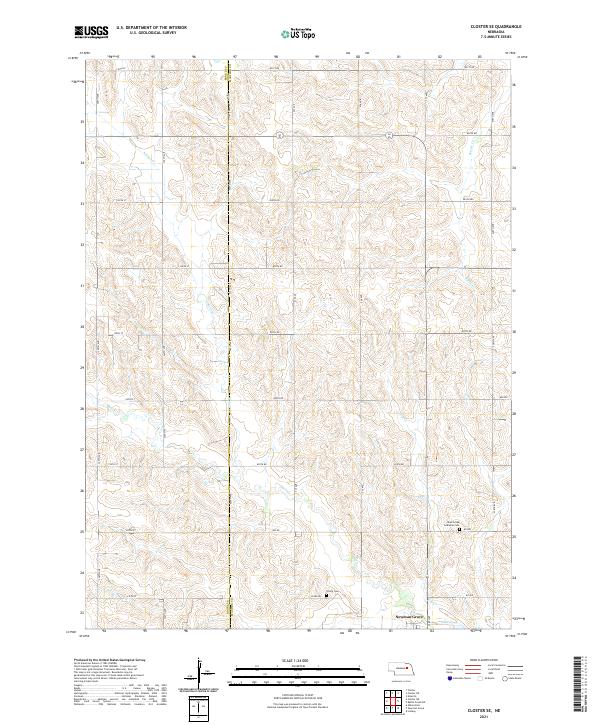
2021 Map of Closter NE
USGS Topo · Published 2021About this map
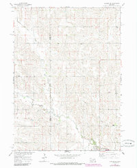
The tri-county intersection of Madison, Boone, and Antelope counties forms the geographic anchor of this Nebraska prairie landscape. Dominated by a highly organized grid of township and range lines, the terrain is carved by the winding paths of several intermittent waterways, including Giles Cr in the northwest and Buffalo Cr which snakes through the central and eastern sections. State Hwy 45 serves as the primary north-south artery, tracing the boundary line between Antelope and Madison counties and continuing south past the junction with Boone County. The map reveals a rural infrastructure typical of the Great Plains, where section roads like 837th Rd and 834th Rd provide access to agricultural lands. The presence of a designated Minimum Maintenance Rd in the southern portion suggests the more remote, less-traveled reaches of the county line, while Deer Cr marks the southeastern corner near the Madison County border.
Find a feature on this map
24 named features on this map. Tap any name to fly to it.
Don’t see what you’re looking for? This feature index may not catch every label — zoom into the map to look around manually.
Map Details
Editions of this 2021 Closter NE Map
This is the sole edition of this map. No revisions or reprints were ever made.
Historical Maps of Madison County Through Time
35 maps found
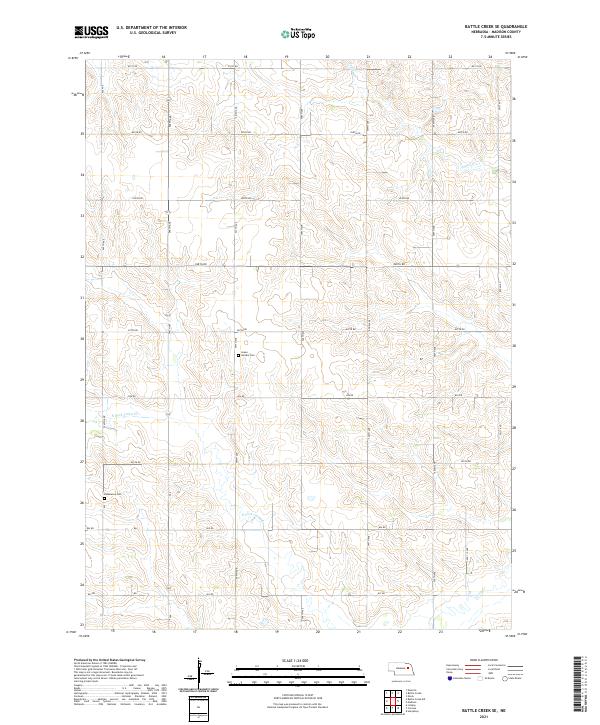
1963 Battle Creek SE
Madison County, NE
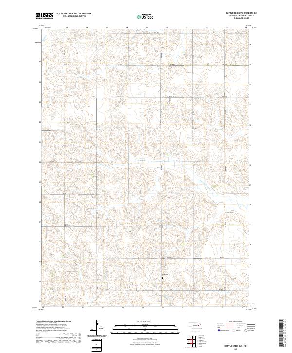
1963 Battle Creek SW
Madison County, NE
1963 Closter NE
Madison County, NE
1963 Closter SE
Madison County, NE
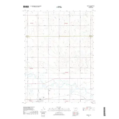
1963 Emerick
Madison County, NE
1963 Enola
Madison County, NE
1963 Pierce SE
Madison County, NE
2011 Battle Creek SE
Madison County, NE
2011 Battle Creek SW
Madison County, NE
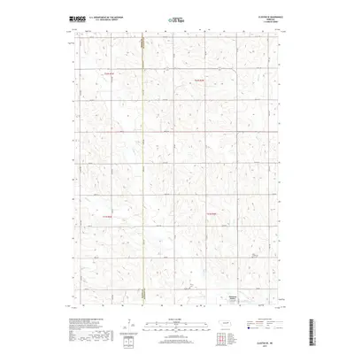
2011 Closter NE
Madison County, NE
2011 Closter SE
Madison County, NE
2011 Emerick
Madison County, NE
2011 Enola
Madison County, NE
2011 Pierce SE
Madison County, NE
2014 Battle Creek SE
Madison County, NE
2014 Battle Creek SW
Madison County, NE
2014 Closter NE
Madison County, NE
2014 Closter SE
Madison County, NE
2014 Emerick
Madison County, NE
2014 Enola
Madison County, NE
2014 Pierce SE
Madison County, NE
2017 Battle Creek SE
Madison County, NE
2017 Battle Creek SW
Madison County, NE
2017 Closter NE
Madison County, NE
2017 Closter SE
Madison County, NE
2017 Emerick
Madison County, NE
2017 Enola
Madison County, NE
2017 Pierce SE
Madison County, NE
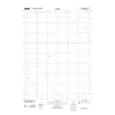
2021 Battle Creek SE
Madison County, NE
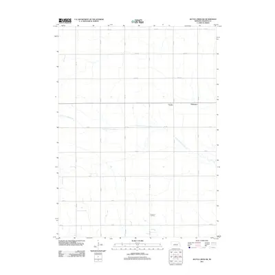
2021 Battle Creek SW
Madison County, NE
2021 Closter NE
Madison County, NE
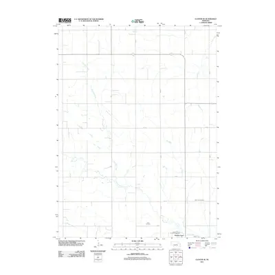
2021 Closter SE
Madison County, NE
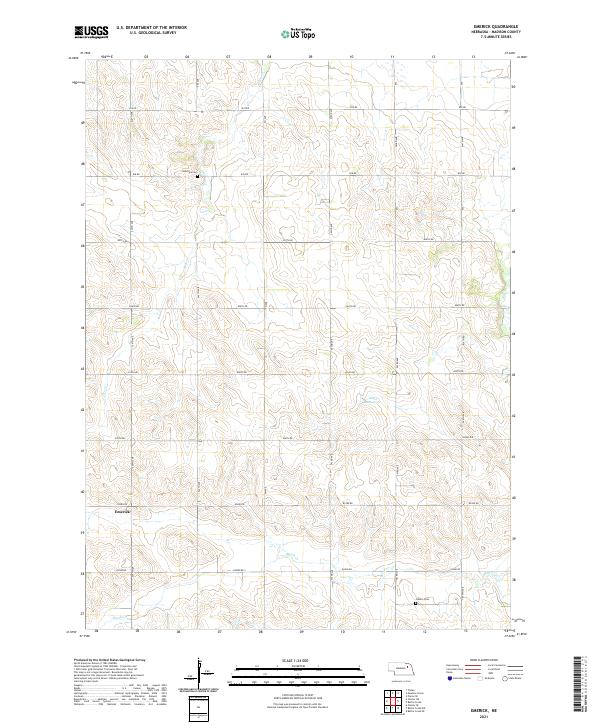
2021 Emerick
Madison County, NE
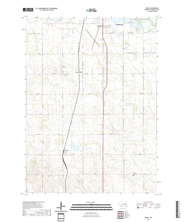
2021 Enola
Madison County, NE
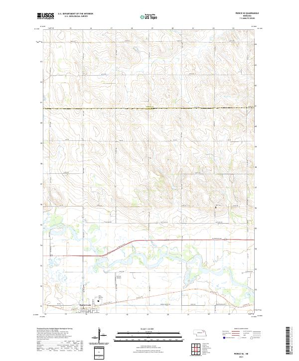
2021 Pierce SE
Madison County, NE