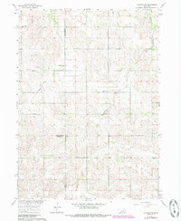
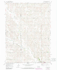
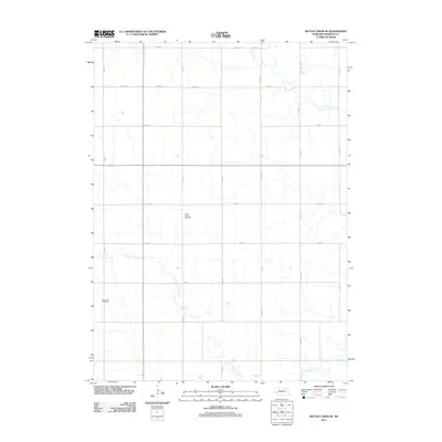
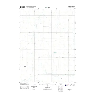
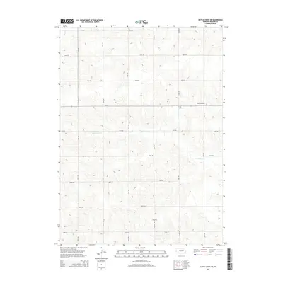
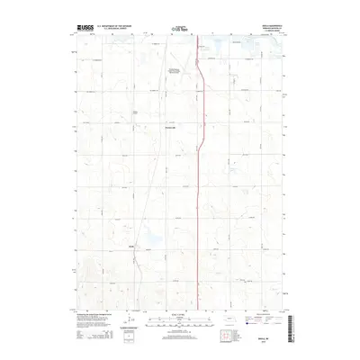
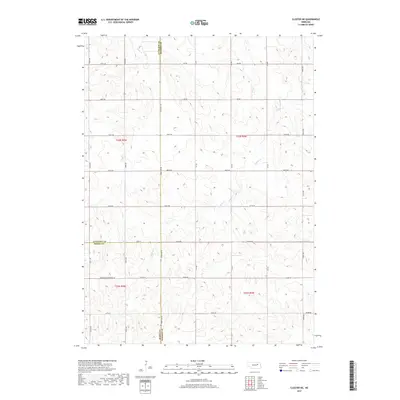
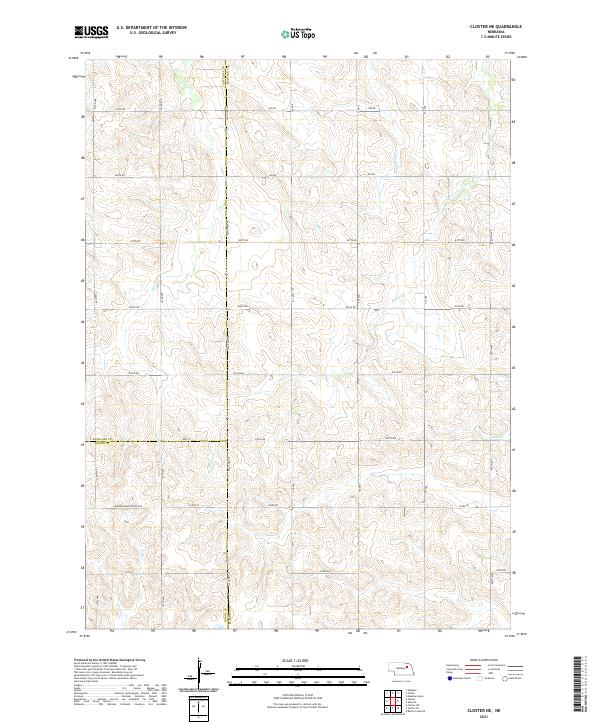
1963 Map of Closter NE
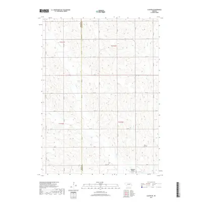
USGS Topo · Published 1985About this map
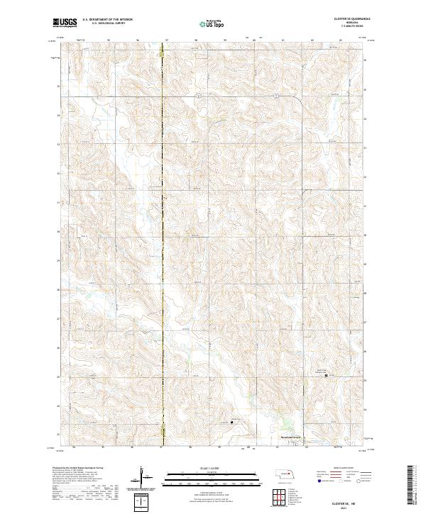
Buffalo Creek and its tributaries wind through a landscape defined by its rural civic network at the time of this 1963 survey. The area, spanning the intersection of Antelope, Madison, and Boone counties, is anchored by a remarkable density of one-room schoolhouses that serve as landmarks for genealogists and local historians. Features such as Bunker Hill Sch, Honeysett Sch, and Pleasant Valley Sch illustrate a distributed education system common in the mid-20th-century Nebraska plains.
Find a feature on this map
15 named features on this map. Tap any name to fly to it.
Don’t see what you’re looking for? This feature index may not catch every label — zoom into the map to look around manually.
Map Details
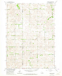
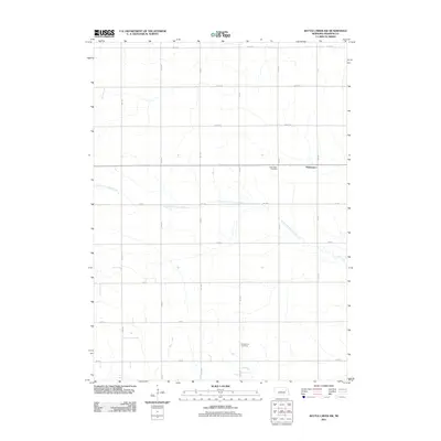
Editions of this 1963 Closter NE Map
2 editions found
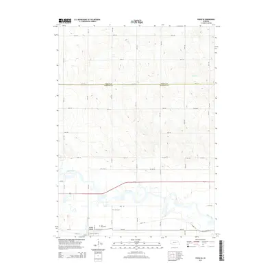
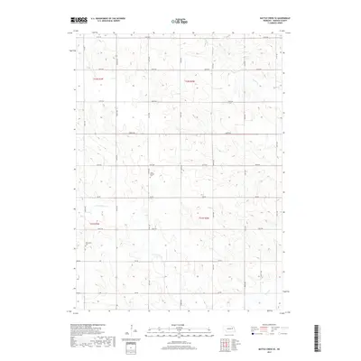
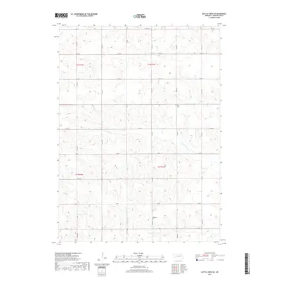
Historical Maps of Madison County Through Time
35 maps found
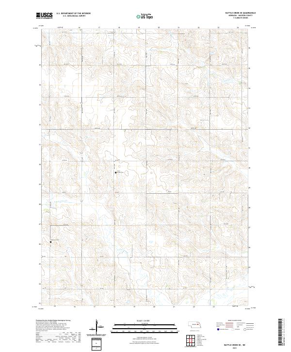
1963 Battle Creek SE
Madison County, NE
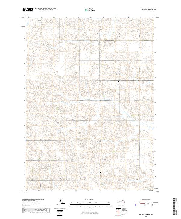
1963 Battle Creek SW
Madison County, NE
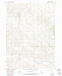
1963 Closter NE
Madison County, NE
1963 Closter SE
Madison County, NE
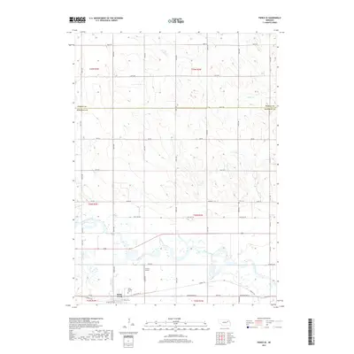
1963 Emerick
Madison County, NE
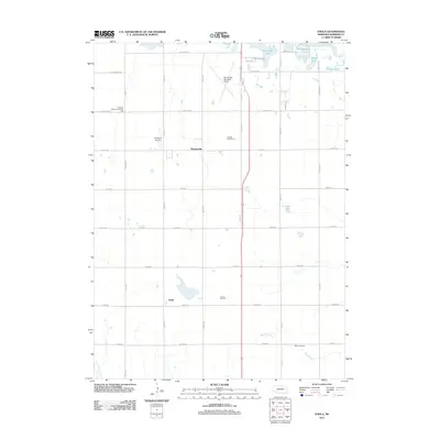
1963 Enola
Madison County, NE
1963 Pierce SE
Madison County, NE
2011 Battle Creek SE
Madison County, NE
2011 Battle Creek SW
Madison County, NE
2011 Closter NE
Madison County, NE
2011 Closter SE
Madison County, NE
2011 Emerick
Madison County, NE
2011 Enola
Madison County, NE
2011 Pierce SE
Madison County, NE
2014 Battle Creek SE
Madison County, NE
2014 Battle Creek SW
Madison County, NE
2014 Closter NE
Madison County, NE
2014 Closter SE
Madison County, NE
2014 Emerick
Madison County, NE
2014 Enola
Madison County, NE
2014 Pierce SE
Madison County, NE
2017 Battle Creek SE
Madison County, NE
2017 Battle Creek SW
Madison County, NE
2017 Closter NE
Madison County, NE
2017 Closter SE
Madison County, NE
2017 Emerick
Madison County, NE
2017 Enola
Madison County, NE
2017 Pierce SE
Madison County, NE
2021 Battle Creek SE
Madison County, NE
2021 Battle Creek SW
Madison County, NE
2021 Closter NE
Madison County, NE
2021 Closter SE
Madison County, NE
2021 Emerick
Madison County, NE
2021 Enola
Madison County, NE
2021 Pierce SE
Madison County, NE