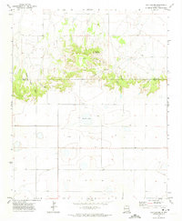
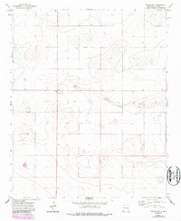
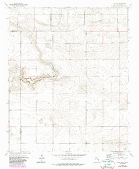
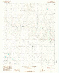
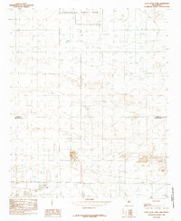
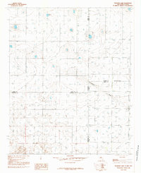
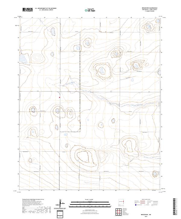
1971 Map of Day Canyon
USGS Topo · Published 1974This historical map portrays the area of Day Canyon in 1971, primarily covering Curry County as well as portions of Quay County. Featuring a scale of 1:24000, this map provides a highly detailed snapshot of the terrain, roads, buildings, counties, and historical landmarks in the Day Canyon region at the time. Published in 1974, it is the sole known edition of this map.
Find a feature on this map
13 named features on this map. Tap any name to fly to it.
Don’t see what you’re looking for? This feature index may not catch every label — zoom into the map to look around manually.
Map Details
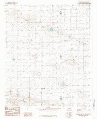
Editions of this 1971 Day Canyon Map
This is the sole edition of this map. No revisions or reprints were ever made.
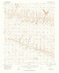
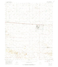
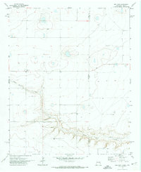
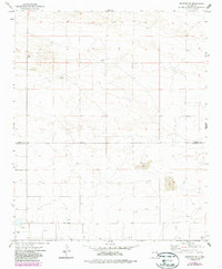
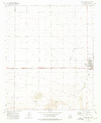
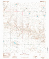
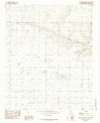
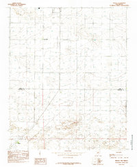
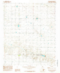
Historical Maps of Quay County Through Time
49 maps found
1957 Hammond Ranch
Curry County, NM

1957 Pleasant Hill
Curry County, NM
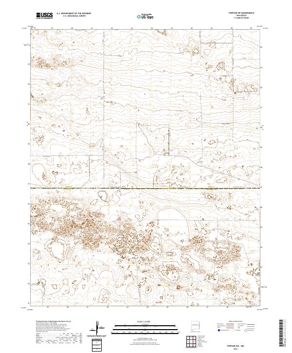
1957 Portair
Curry County, NM
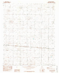
1971 Bellview
Curry County, NM
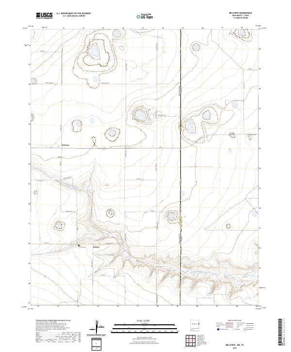
1971 Broadview
Curry County, NM
1971 Day Canyon
Curry County, NM
1971 Endee Hill
Curry County, NM
1972 Melrose East
Curry County, NM
1973 Field SE
Curry County, NM
1973 Field SW
Curry County, NM
1973 Melrose SE
Curry County, NM
1973 Melrose West
Curry County, NM
1985 Garrett Ranch
Curry County, NM
1985 Hammond Ranch
Curry County, NM
1985 Hammond Ranch SW
Curry County, NM
1985 Midway
Curry County, NM
1985 Ned Houk Park
Curry County, NM
1985 Oasis State Park
Curry County, NM
1985 Pleasant Hill
Curry County, NM
1985 Pleasant Hill NE
Curry County, NM
1985 Pleasant Hill NW
Curry County, NM
1985 Pleasure Lake
Curry County, NM
1985 Portair
Curry County, NM
1985 Portair SW
Curry County, NM
1985 Smith Ranch
Curry County, NM
1985 St Vrain
Curry County, NM
2023 Bellview
Curry County, NM
2023 Broadview
Curry County, NM
2023 Day Canyon
Curry County, NM
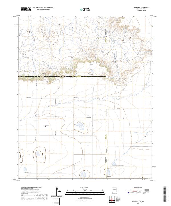
2023 Endee Hill
Curry County, NM
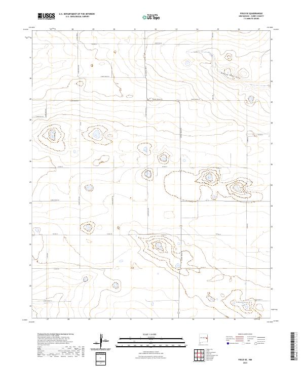
2023 Field SE
Curry County, NM
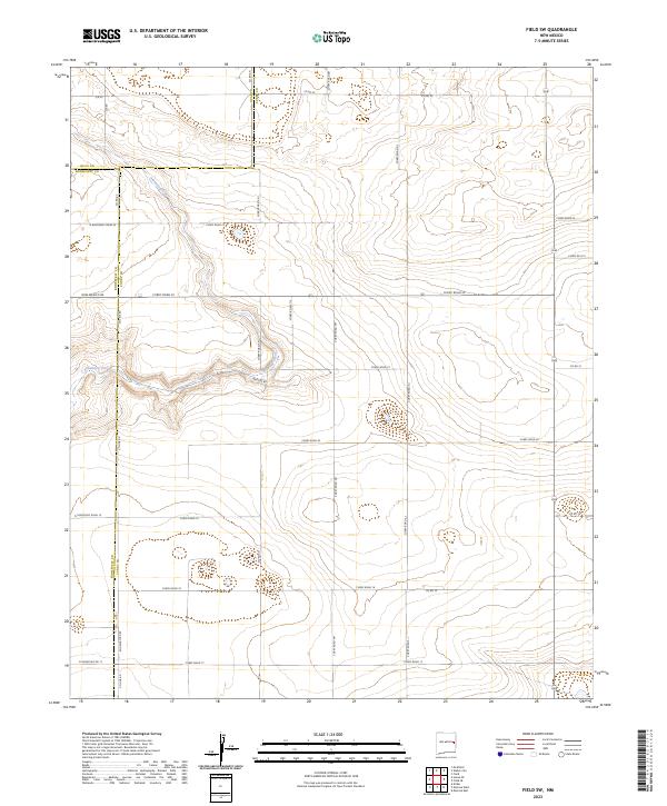
2023 Field SW
Curry County, NM
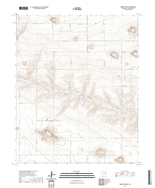
2023 Garrett Ranch
Curry County, NM
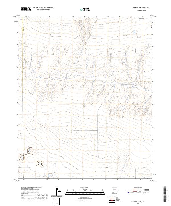
2023 Hammond Ranch
Curry County, NM
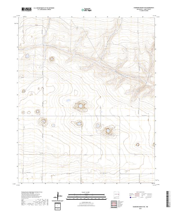
2023 Hammond Ranch SW
Curry County, NM
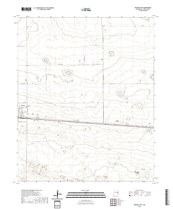
2023 Melrose East
Curry County, NM
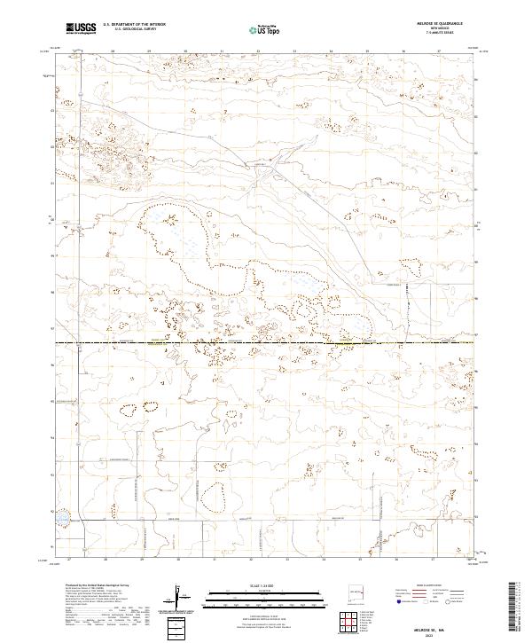
2023 Melrose SE
Curry County, NM
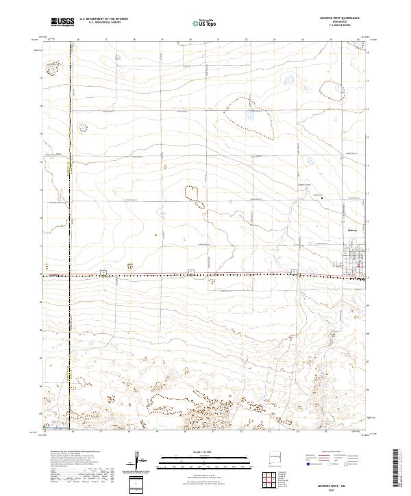
2023 Melrose West
Curry County, NM
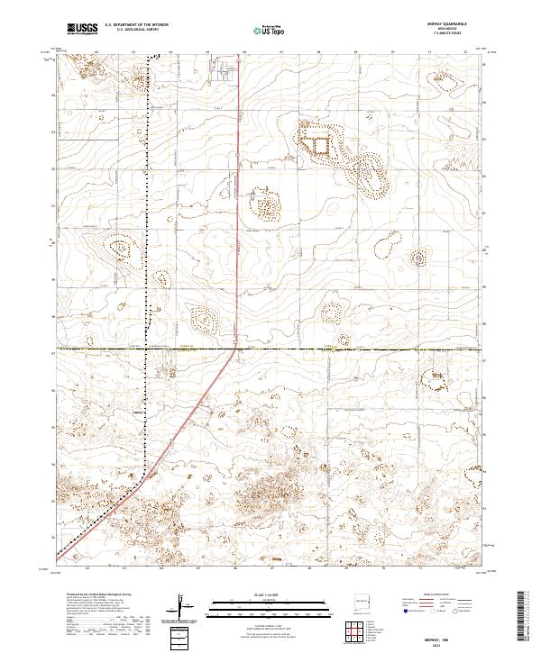
2023 Midway
Curry County, NM
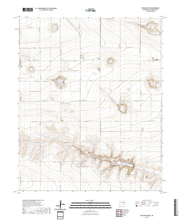
2023 Ned Houk Park
Curry County, NM
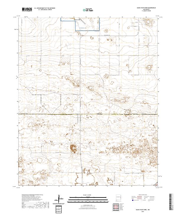
2023 Oasis State Park
Curry County, NM
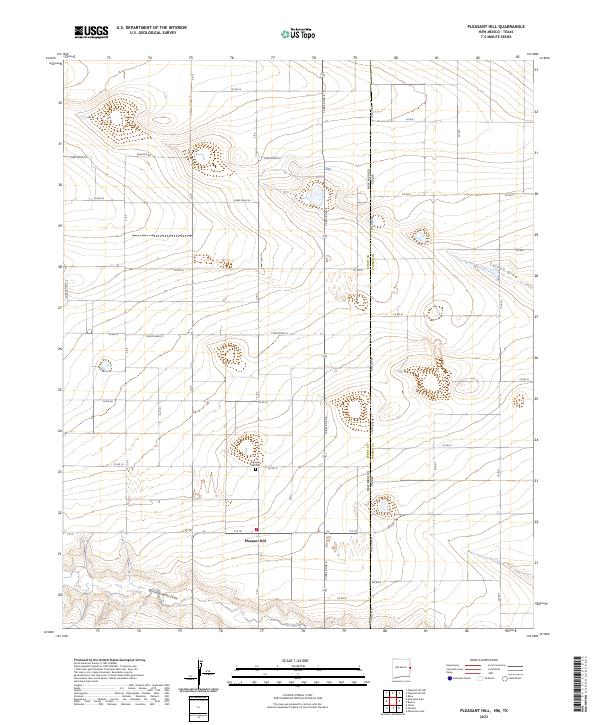
2023 Pleasant Hill
Curry County, NM
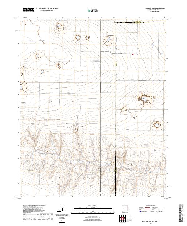
2023 Pleasant Hill NE
Curry County, NM
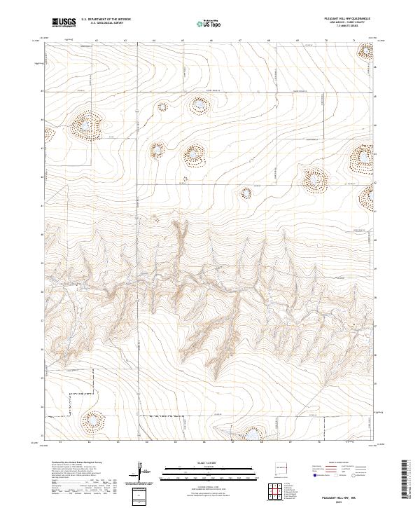
2023 Pleasant Hill NW
Curry County, NM
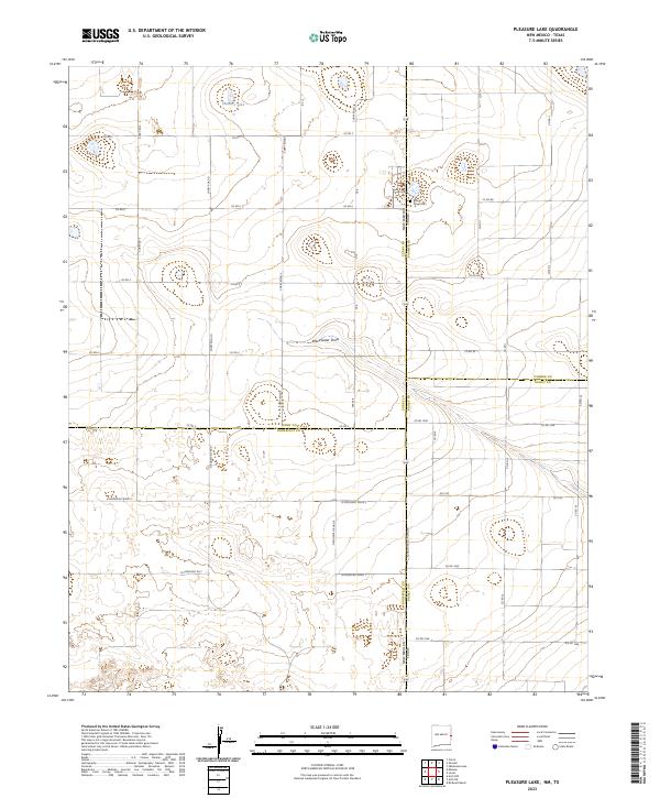
2023 Pleasure Lake
Curry County, NM
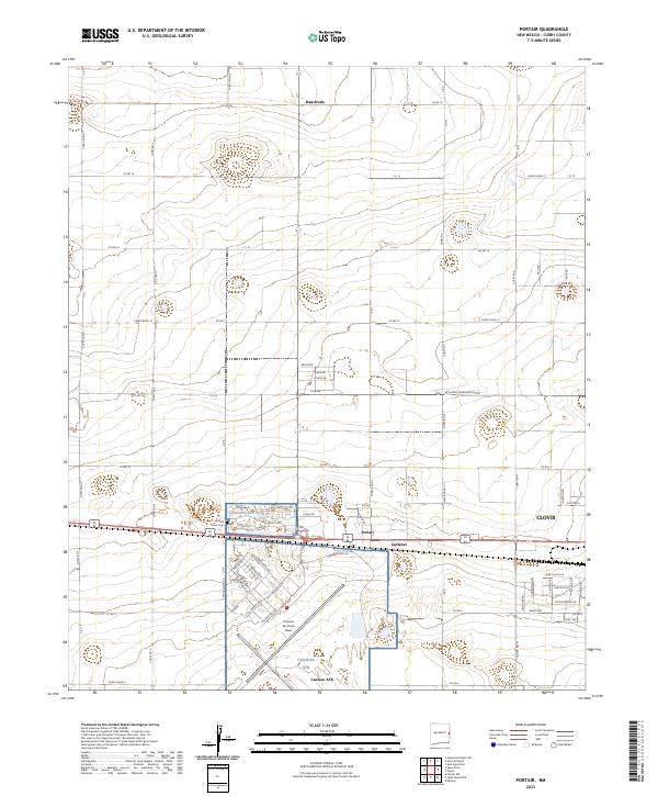
2023 Portair
Curry County, NM
2023 Portair SW
Curry County, NM
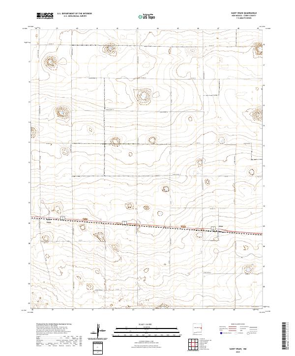
2023 Saint Vrain
Curry County, NM
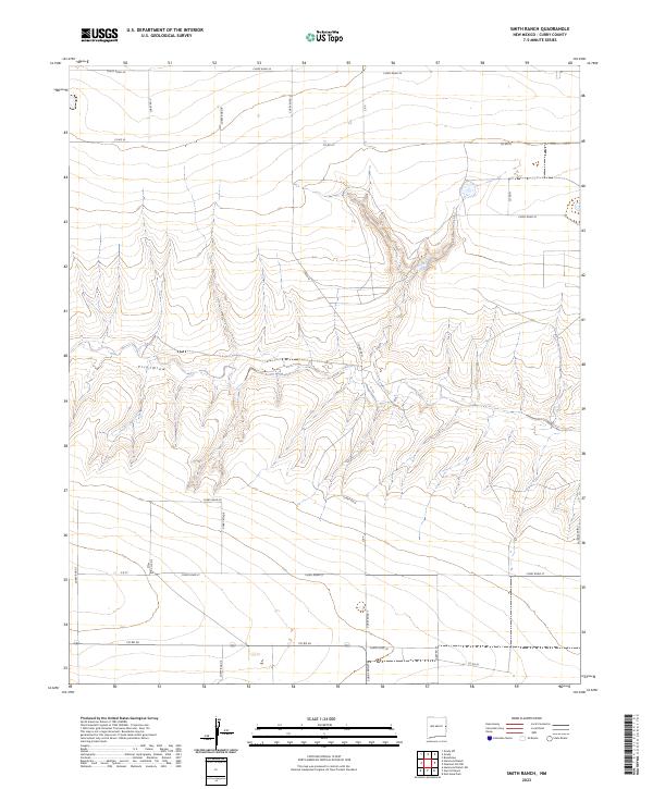
2023 Smith Ranch
Curry County, NM