
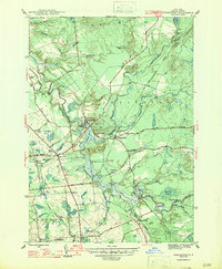
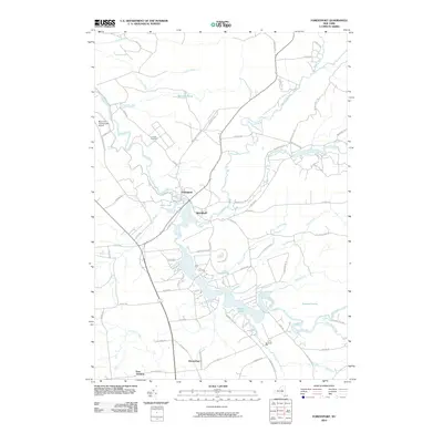
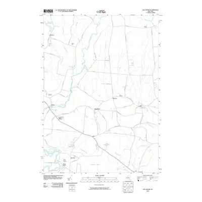
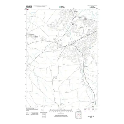
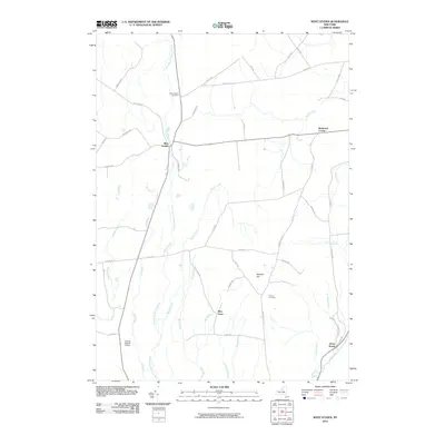
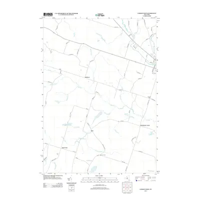
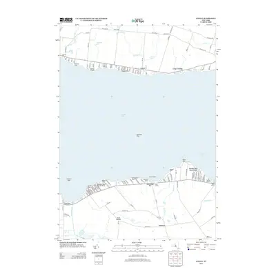
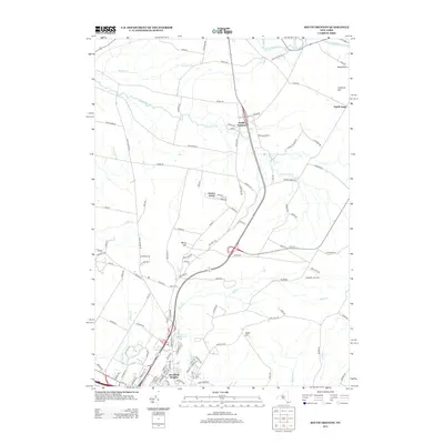
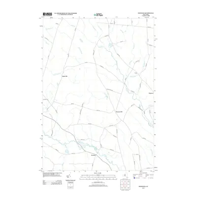
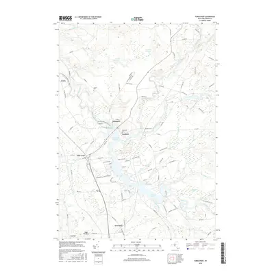
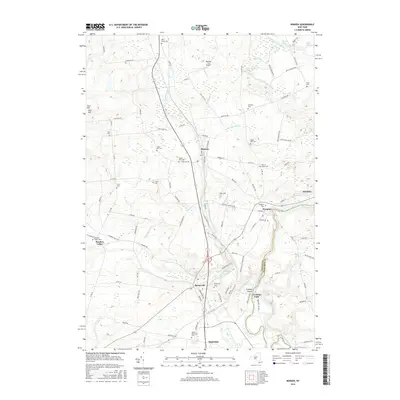
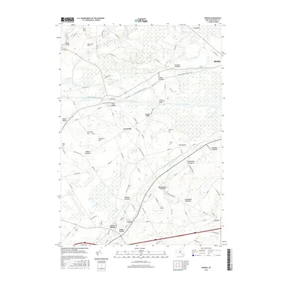
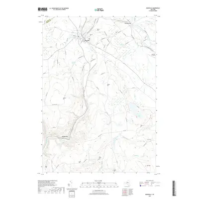
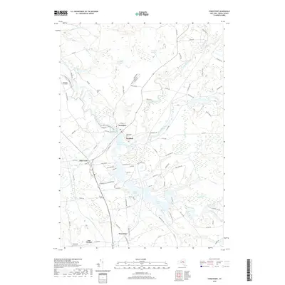
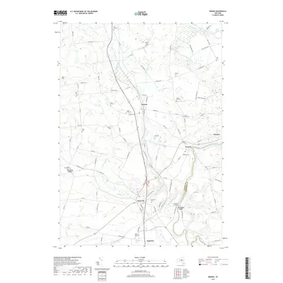
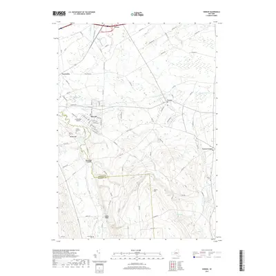
1947 Map of Forestport
USGS Topo · Published 1947About this map
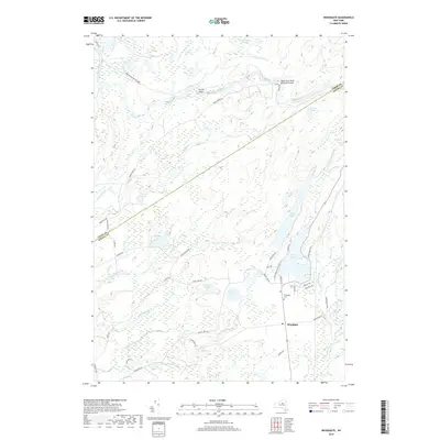
The Black River corridor defines this part of Oneida County, where the village of Forestport serves as a central hub for water management and transport. The landscape is characterized by the expansive waters of Kayuta Lake and the Forestport Reservoir, which supported the region's industrial needs during the mid-20th century. Transportation is anchored by the New York Central railroad, with essential stops at Forestport Sta. and Alder Creek Sta, facilitating the movement of goods and people through the Adirondack foothills.
Find a feature on this map
39 named features on this map. Tap any name to fly to it.
Don’t see what you’re looking for? This feature index may not catch every label — zoom into the map to look around manually.
Map Details
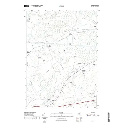
Editions of this 1947 Forestport Map
2 editions found
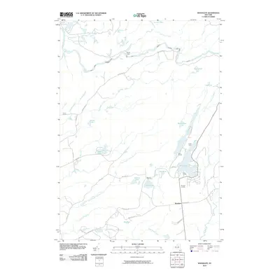
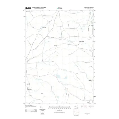
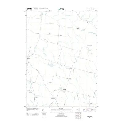
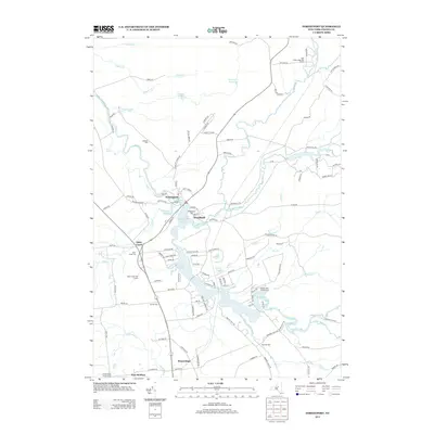
Historical Maps of Boonville Through Time
127 maps found

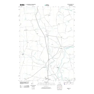
1897 Remsen
Oneida County, NY

1900 Remsen
Oneida County, NY

1904 Boonville
Oneida County, NY

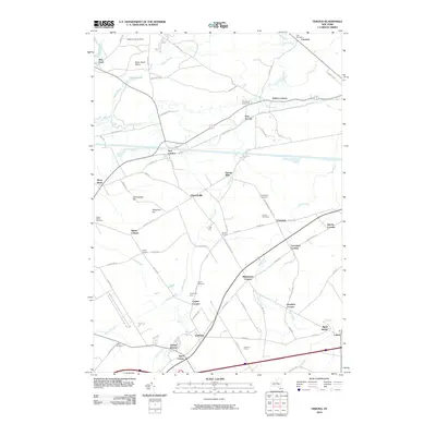
1905 Taberg
Oneida County, NY

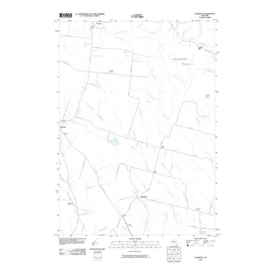
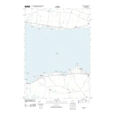
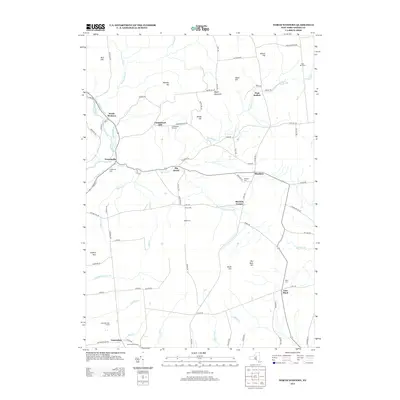
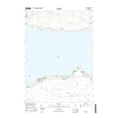
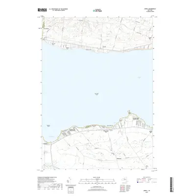
1941 Jewell
Oneida County, NY

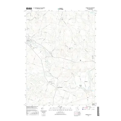
1943 Camden East
Oneida County, NY

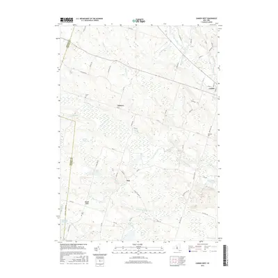
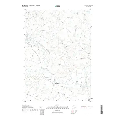
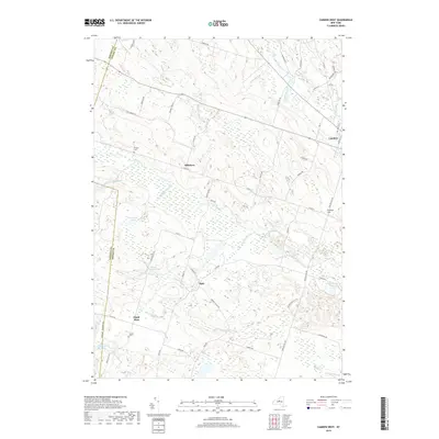
1943 Camden West
Oneida County, NY

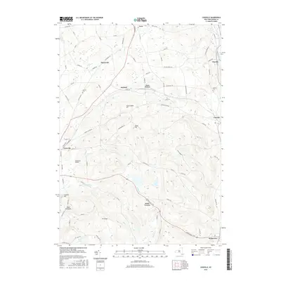
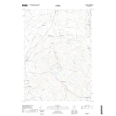
1943 Cassville
Oneida County, NY

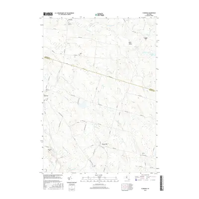
1943 East Florence
Oneida County, NY

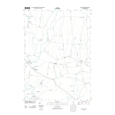
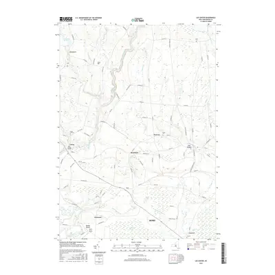
1943 Lee Center
Oneida County, NY

1943 Westdale
Oneida County, NY

1944 Jewell
Oneida County, NY

1945 Boonville
Oneida County, NY

1945 Cassville
Oneida County, NY

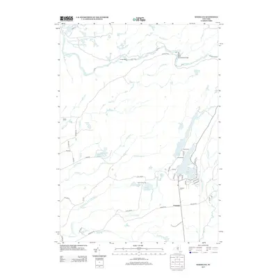
1945 Forestport
Oneida County, NY

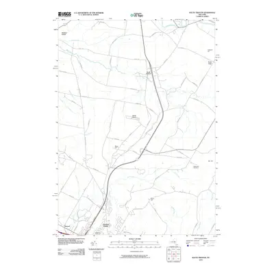
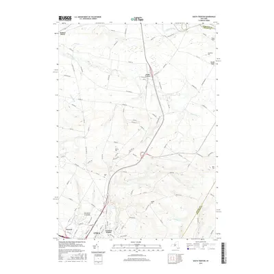
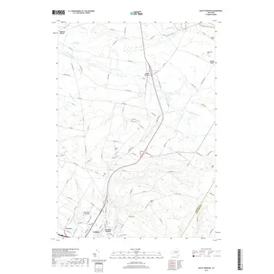
1945 South Trenton
Oneida County, NY

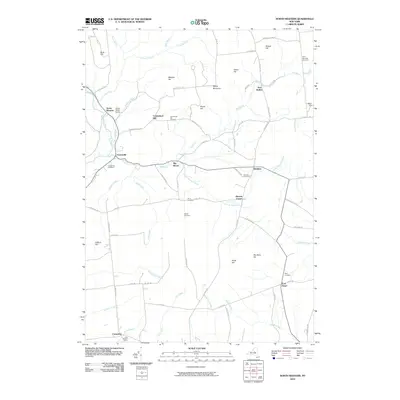
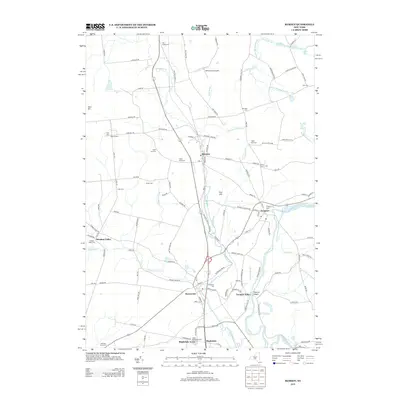
1946 Remsen
Oneida County, NY

1946 Westdale
Oneida County, NY

1946 West Leyden
Oneida County, NY

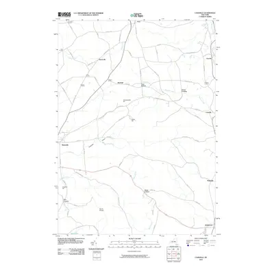
1947 Boonville
Oneida County, NY
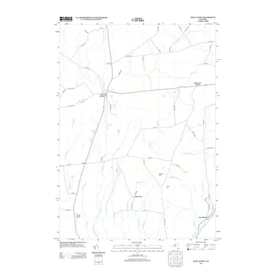
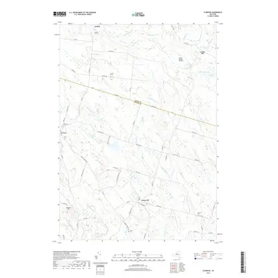
1947 Forestport
Oneida County, NY

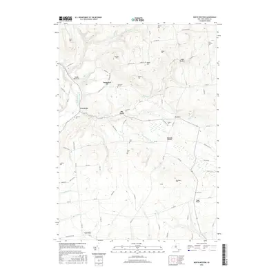
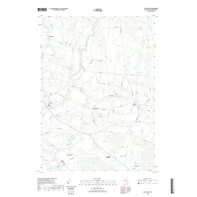
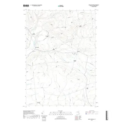
1947 North Western
Oneida County, NY

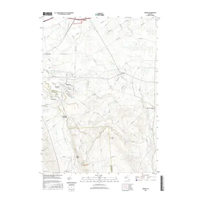
1947 Remsen
Oneida County, NY

1947 West Leyden
Oneida County, NY

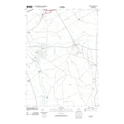
1948 Vernon
Oneida County, NY

1948 Verona
Oneida County, NY

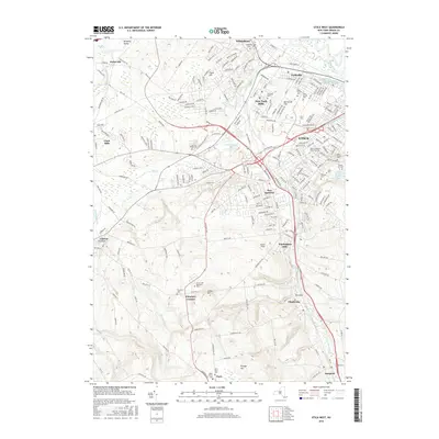
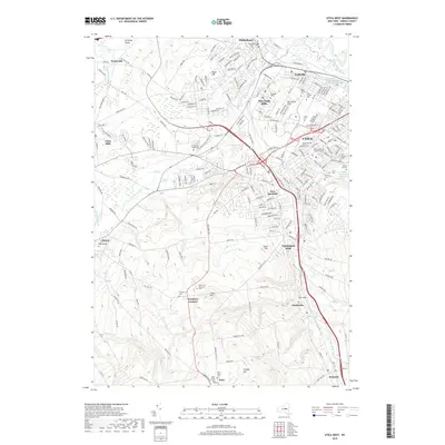
1949 Utica West
Oneida County, NY

1955 Boonville
Oneida County, NY

1955 Camden East
Oneida County, NY

1955 Florence
Oneida County, NY

1955 Lee Center
Oneida County, NY

1955 North Western
Oneida County, NY

1955 Remsen
Oneida County, NY

1955 South Trenton
Oneida County, NY

1955 Utica West
Oneida County, NY

1955 Vernon
Oneida County, NY

1955 Verona
Oneida County, NY

1955 West Leyden
Oneida County, NY

1957 Jewell
Oneida County, NY

1959 Westdale
Oneida County, NY

1960 Camden West
Oneida County, NY

1983 South Trenton
Oneida County, NY
2010 Boonville
Oneida County, NY
2010 Camden East
Oneida County, NY
2010 Camden West
Oneida County, NY
2010 Cassville
Oneida County, NY
2010 Florence
Oneida County, NY
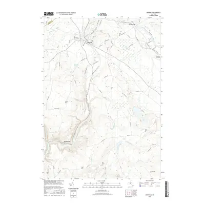
2010 Forestport
Oneida County, NY
2010 Jewell
Oneida County, NY
2010 Lee Center
Oneida County, NY
2010 North Western
Oneida County, NY
2010 Remsen
Oneida County, NY
2010 South Trenton
Oneida County, NY
2010 Utica West
Oneida County, NY
2010 Vernon
Oneida County, NY
2010 Verona
Oneida County, NY
2010 Westdale
Oneida County, NY
2010 West Leyden
Oneida County, NY
2010 Woodgate
Oneida County, NY
2013 Boonville
Oneida County, NY
2013 Camden East
Oneida County, NY
2013 Camden West
Oneida County, NY
2013 Cassville
Oneida County, NY
2013 Florence
Oneida County, NY
2013 Forestport
Oneida County, NY
2013 Jewell
Oneida County, NY
2013 Lee Center
Oneida County, NY
2013 North Western
Oneida County, NY
2013 Remsen
Oneida County, NY
2013 South Trenton
Oneida County, NY
2013 Utica West
Oneida County, NY
2013 Vernon
Oneida County, NY
2013 Verona
Oneida County, NY
2013 Westdale
Oneida County, NY
2013 West Leyden
Oneida County, NY
2013 Woodgate
Oneida County, NY
2016 Boonville
Oneida County, NY
2016 Camden East
Oneida County, NY
2016 Camden West
Oneida County, NY
2016 Cassville
Oneida County, NY
2016 Florence
Oneida County, NY
2016 Forestport
Oneida County, NY
2016 Jewell
Oneida County, NY
2016 Lee Center
Oneida County, NY
2016 North Western
Oneida County, NY
2016 Remsen
Oneida County, NY
2016 South Trenton
Oneida County, NY
2016 Utica West
Oneida County, NY
2016 Vernon
Oneida County, NY
2016 Verona
Oneida County, NY
2016 Westdale
Oneida County, NY
2016 West Leyden
Oneida County, NY
2016 Woodgate
Oneida County, NY
2019 Boonville
Oneida County, NY
2019 Camden East
Oneida County, NY
2019 Camden West
Oneida County, NY
2019 Cassville
Oneida County, NY
2019 Florence
Oneida County, NY
2019 Forestport
Oneida County, NY
2019 Jewell
Oneida County, NY
2019 Lee Center
Oneida County, NY
2019 North Western
Oneida County, NY
2019 Remsen
Oneida County, NY
2019 South Trenton
Oneida County, NY
2019 Utica West
Oneida County, NY
2019 Vernon
Oneida County, NY
2019 Verona
Oneida County, NY
2019 Westdale
Oneida County, NY
2019 West Leyden
Oneida County, NY
2019 Woodgate
Oneida County, NY

2023 Boonville
Oneida County, NY

2023 Camden East
Oneida County, NY

2023 Camden West
Oneida County, NY

2023 Cassville
Oneida County, NY

2023 Florence
Oneida County, NY

2023 Forestport
Oneida County, NY

2023 Jewell
Oneida County, NY

2023 Lee Center
Oneida County, NY

2023 North Western
Oneida County, NY

2023 Remsen
Oneida County, NY

2023 South Trenton
Oneida County, NY

2023 Utica West
Oneida County, NY

2023 Vernon
Oneida County, NY

2023 Verona
Oneida County, NY

2023 Westdale
Oneida County, NY

2023 West Leyden
Oneida County, NY

2023 Woodgate
Oneida County, NY