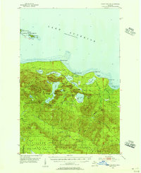
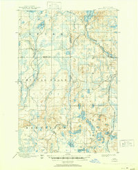
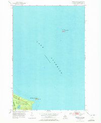
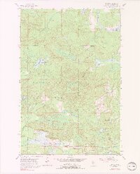
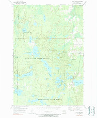
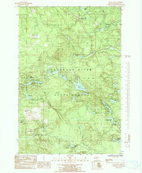
1954 Map of Huron Mountain
USGS Topo · Published 1956This historical map portrays the area of Huron Mountain in 1954, primarily covering Marquette County as well as portions of Baraga County. Featuring a scale of 1:62500, this map provides a highly detailed snapshot of the terrain, roads, buildings, counties, and historical landmarks in the Huron Mountain region at the time. Published in 1956, it is one of 5 known editions of this map due to revisions or reprints.
Map Details
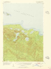
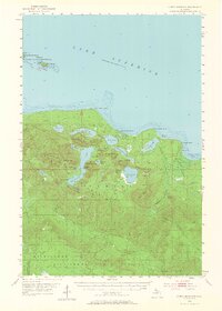
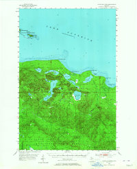
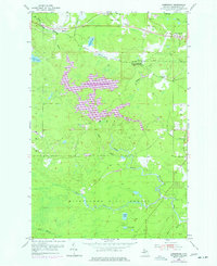
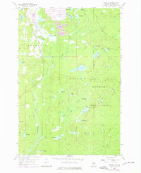
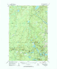
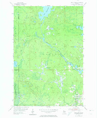
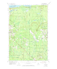
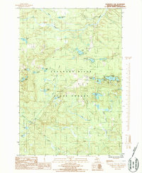
Editions of this 1954 Huron Mountain Map
5 editions found
Historical Maps of Powell Township Through Time
55 maps found
1899 Witbeck
Marquette County, MI

1932 Harvey NE
Marquette County, MI

1932 Harvey NW
Marquette County, MI

1932 Harvey SE
Marquette County, MI

1932 Harvey SW
Marquette County, MI

1932 Helena NE
Marquette County, MI

1932 Helena NW
Marquette County, MI
1932 Helena SE
Marquette County, MI

1932 Helena SW
Marquette County, MI

1932 Rock NW
Marquette County, MI

1932 Skandia SW
Marquette County, MI

1950 Skandia NW
Marquette County, MI

1951 Helena NE
Marquette County, MI

1951 Helena NW
Marquette County, MI
1951 Helena SE
Marquette County, MI

1951 Helena SW
Marquette County, MI
1952 Sands
Marquette County, MI
1953 Marquette NW
Marquette County, MI
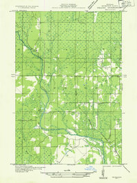
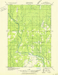
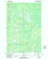
1954 Huron Mountain
Marquette County, MI
1954 Negaunee SW
Marquette County, MI
1955 Champion
Marquette County, MI
1955 Diorite
Marquette County, MI
1955 Greenwood
Marquette County, MI
1955 Republic SW
Marquette County, MI
1955 Witch Lake
Marquette County, MI
1955 Witch Lake
Marquette County, MI
1955 Witch Lake NE
Marquette County, MI
1958 Skandia
Marquette County, MI

1963 Watson
Marquette County, MI

1984 Howe Lake
Marquette County, MI

1984 Ives Hill
Marquette County, MI

1985 Buckroe
Marquette County, MI

1985 Bulldog Lake
Marquette County, MI

1985 Carlshend
Marquette County, MI

1985 Granite Point
Marquette County, MI

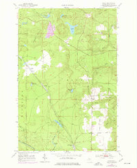
1985 Huron Mountain
Marquette County, MI

1985 Little Lake
Marquette County, MI

1985 McFarland
Marquette County, MI

1985 Mountain Lake
Marquette County, MI

1985 Negaunee NW
Marquette County, MI

1985 Silver Lake Basin
Marquette County, MI

1985 Skandia
Marquette County, MI

1986 Cataract Basin
Marquette County, MI
1986 Chabeneau Lake
Marquette County, MI
1986 Green Hills
Marquette County, MI

1986 Helena
Marquette County, MI

1986 Northland
Marquette County, MI

1986 Northland NE
Marquette County, MI
1989 Anderson Lake
Marquette County, MI
1989 Arnold
Marquette County, MI

1989 Helena
Marquette County, MI
1989 Swimming Hole Creek
Marquette County, MI

1996 Negaunee NW
Marquette County, MI

1996 Silver Lake Basin
Marquette County, MI

1999 Bulldog Lake
Marquette County, MI
Featured Locations
- Michigamme Township, MI
- Powell Township, MI
- Champion Township, MI
- L'Anse Township, MI
- Dodge City, Powell Township