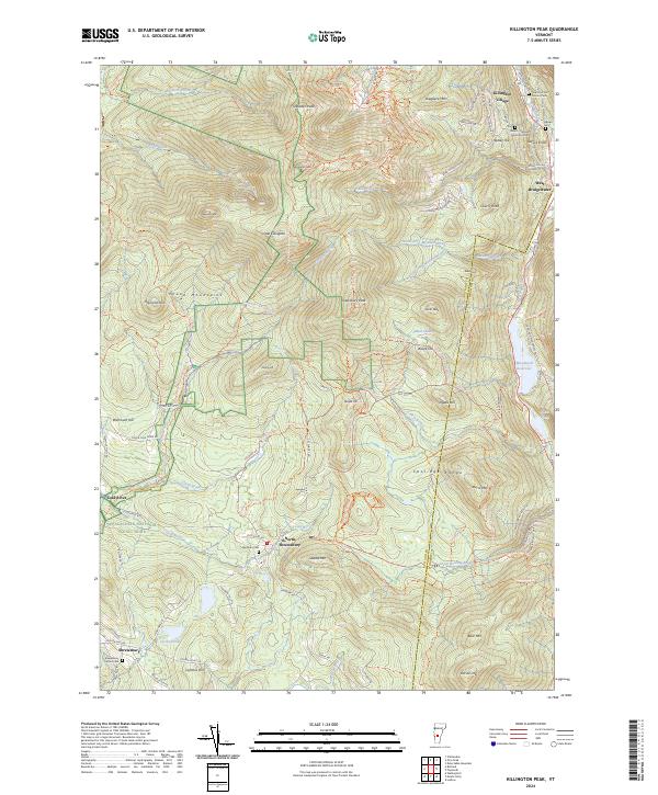
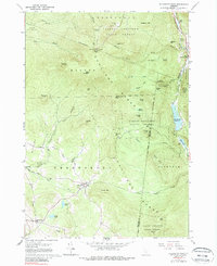
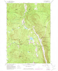
2024 Map of Killington Peak
USGS Topo · Published 2024About this map
Killington Peak and the surrounding Green Mountains dominate this high-elevation landscape where the Rutland Co and Windsor Co lines meet. The terrain is defined by a series of prominent summits including Shrewsbury Peak, Mendon Peak, and Little Killington, which overlook a complex network of recreational paths such as the Bucklin Trl and Catamount Trl. The Appalachian National Scenic Trail winds across the southwestern corner, crossing the Cold River near North Shrewsbury.
Find a feature on this map
113 named features on this map. Tap any name to fly to it.
Don’t see what you’re looking for? This feature index may not catch every label — zoom into the map to look around manually.
Map Details
Editions of this 2024 Killington Peak Map
This is the sole edition of this map. No revisions or reprints were ever made.
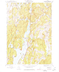
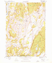
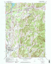
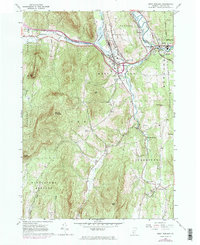
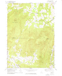
Historical Maps of South Sherburne Through Time
39 maps found
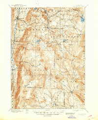
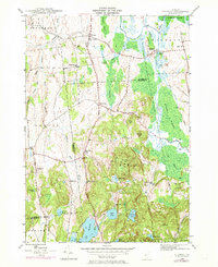
1893 Wallingford
Rutland County, VT

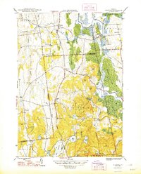
1895 Castleton
Rutland County, VT

1897 Castleton
Rutland County, VT
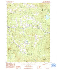
1944 Bomoseen
Rutland County, VT
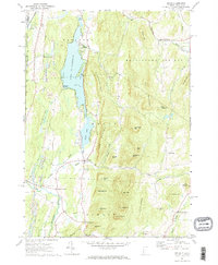
1946 Benson
Rutland County, VT

1946 Brandon
Rutland County, VT
1946 Sudbury
Rutland County, VT

1948 Benson
Rutland County, VT
1948 Sudbury
Rutland County, VT
1955 Wallingford
Rutland County, VT
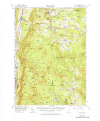
1961 Killington Peak
Rutland County, VT
1961 Pico Peak
Rutland County, VT
1964 Poultney
Rutland County, VT
1964 West Rutland
Rutland County, VT
1967 Dorset
Rutland County, VT
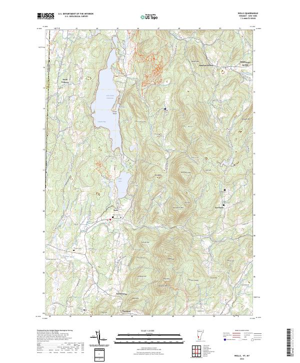
1967 Wells
Rutland County, VT

1970 Mount Carmel
Rutland County, VT
1986 Mount Holly
Rutland County, VT

1986 Wallingford
Rutland County, VT

1997 Brandon
Rutland County, VT

1997 Dorset
Rutland County, VT

1997 Killington Peak
Rutland County, VT

1997 Mount Carmel
Rutland County, VT

1997 Mount Holly
Rutland County, VT

1997 Pico Peak
Rutland County, VT

1997 Wallingford
Rutland County, VT
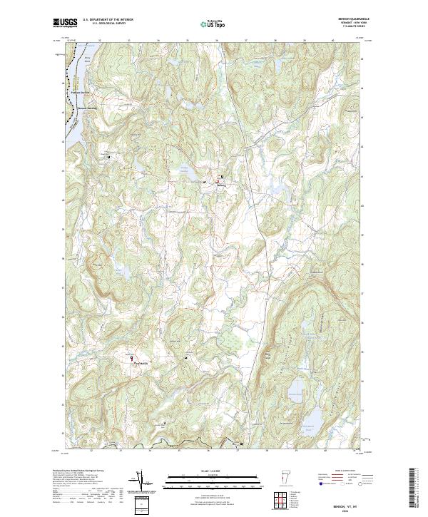
2024 Benson
Rutland County, VT
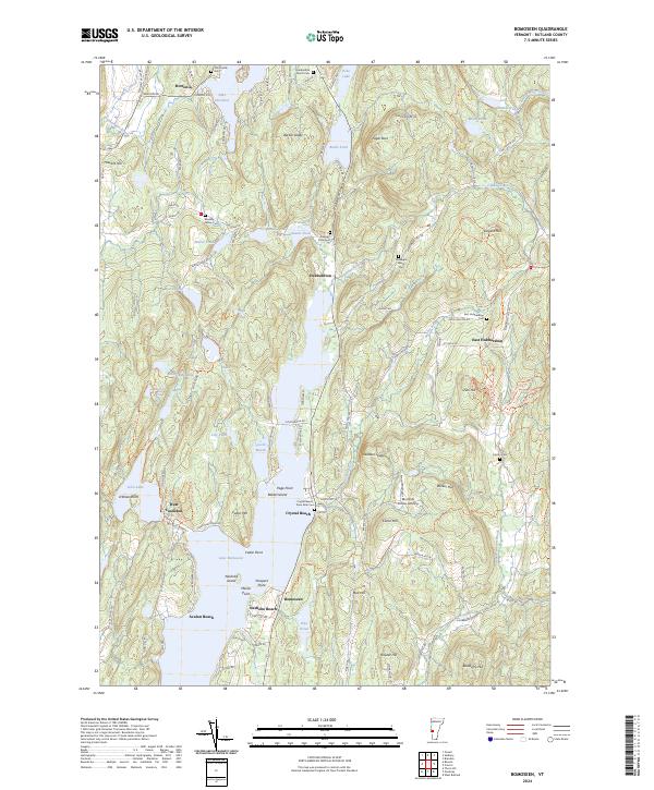
2024 Bomoseen
Rutland County, VT
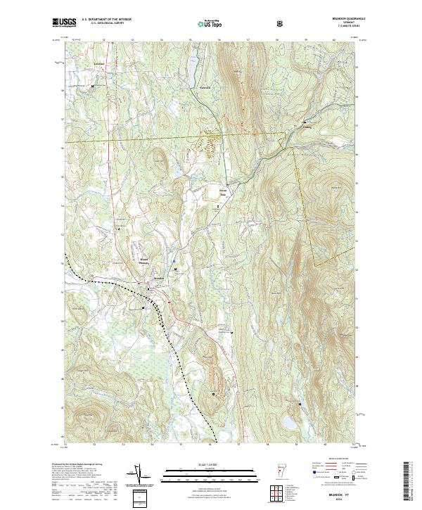
2024 Brandon
Rutland County, VT
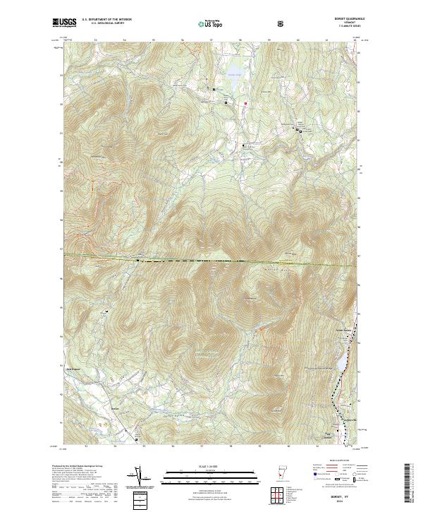
2024 Dorset
Rutland County, VT
2024 Killington Peak
Rutland County, VT
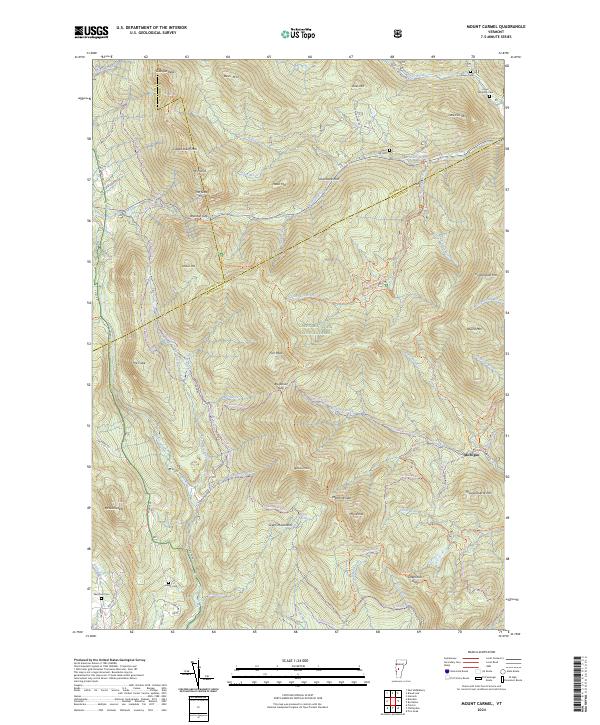
2024 Mount Carmel
Rutland County, VT
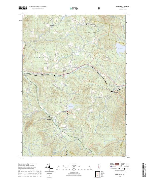
2024 Mount Holly
Rutland County, VT
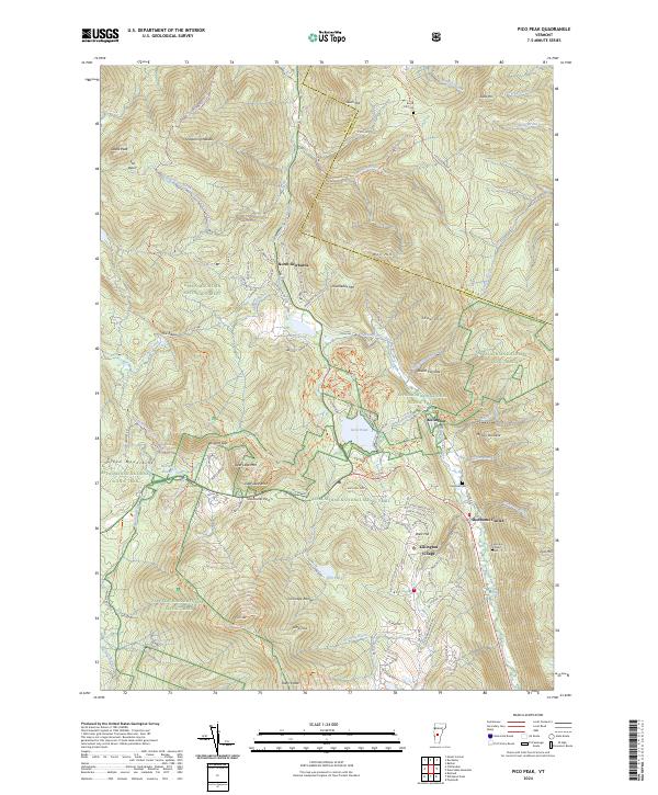
2024 Pico Peak
Rutland County, VT
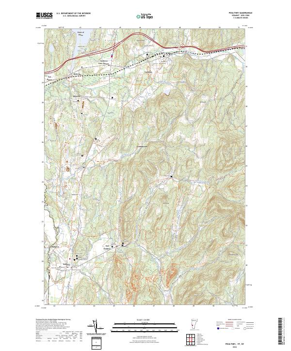
2024 Poultney
Rutland County, VT
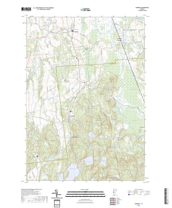
2024 Sudbury
Rutland County, VT
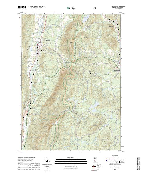
2024 Wallingford
Rutland County, VT
2024 Wells
Rutland County, VT
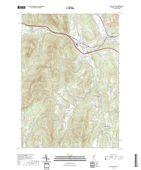
2024 West Rutland
Rutland County, VT