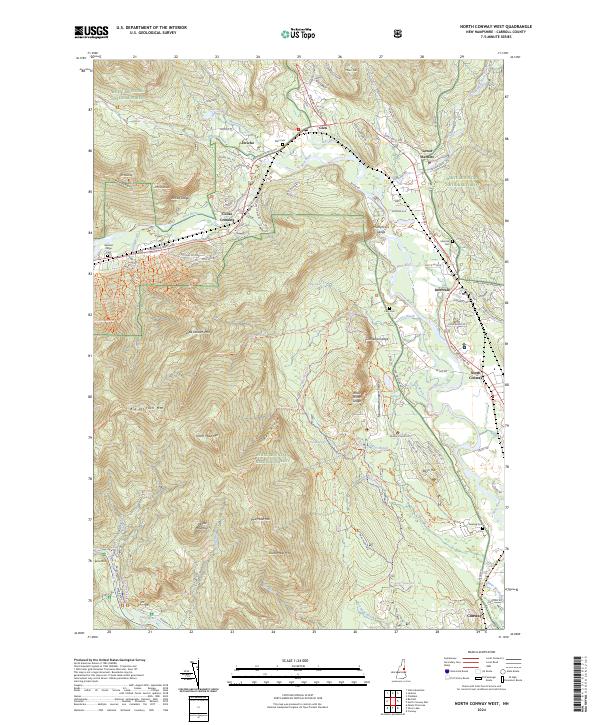
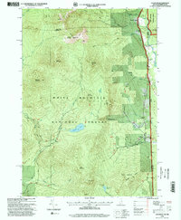
2024 Map of North Conway West
USGS Topo · Published 2024About this map
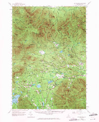
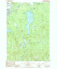
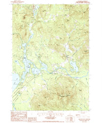
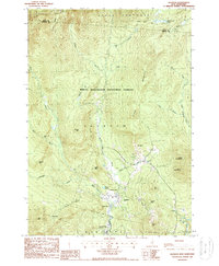
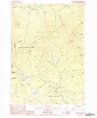
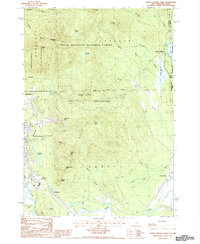
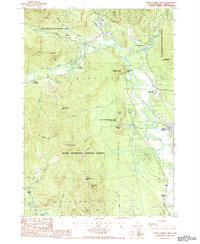
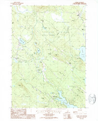
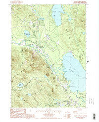
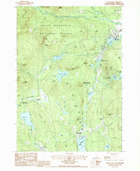
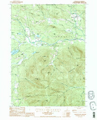
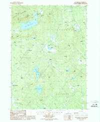
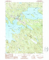
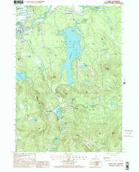
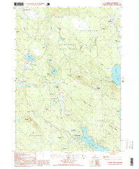
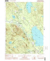
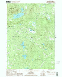
White Mountain National Forest dominates this landscape, where the Saco River and Ellis River converge amidst a dramatic array of granite peaks. The settlement pattern follows the narrow river valleys, with villages like Glen, Intervale, and Lower Bartlett serving as gateways to the high ground of the White Mountains. Landmark elevations such as Cathedral Ledge, White Horse Ledge, and North Moat Mtn rise sharply above the valley floor, creating a topography defined by significant relief. For those tracing local history, the map identifies several family and community burial grounds, including Glen Cem, Lucy Cem, and Deering Cem. The presence of the Moat Mineral Site Trl and Dianas Baths highlights the area's long-standing draw for recreation and natural observation, while the concentration of infrastructure around North Conway and Conway shows the modern evolution of these mountain corridors.
Find a feature on this map
103 named features on this map. Tap any name to fly to it.
Don’t see what you’re looking for? This feature index may not catch every label — zoom into the map to look around manually.
Map Details
Editions of this 2024 North Conway West Map
This is the sole edition of this map. No revisions or reprints were ever made.
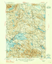
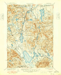
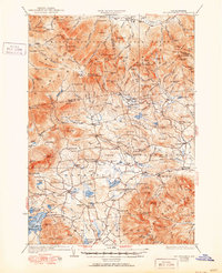
Historical Maps of Intervale Through Time
46 maps found
1928 Wolfeboro
Carroll County, NH
1930 Ossipee Lake
Carroll County, NH
1931 Mt. Chocorua
Carroll County, NH
1958 Mt. Chocorua
Carroll County, NH
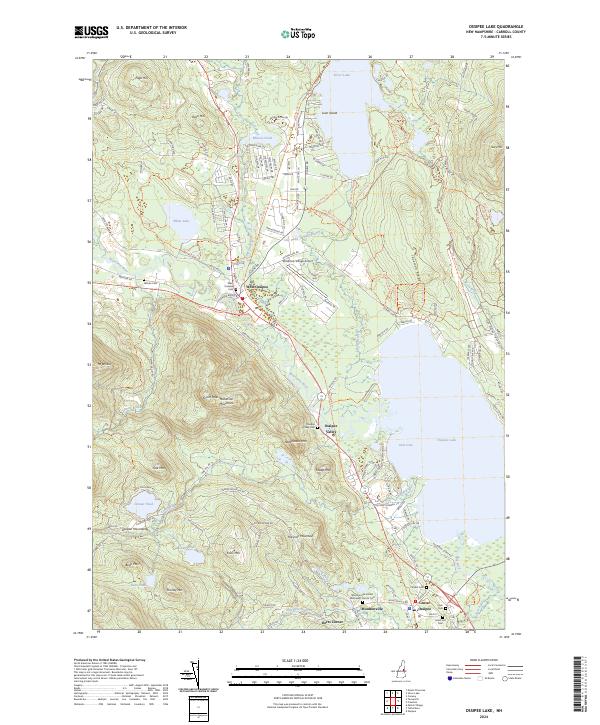
1958 Ossipee Lake
Carroll County, NH
1958 Wolfeboro
Carroll County, NH
1987 Bartlett
Carroll County, NH

1987 Chatham
Carroll County, NH
1987 Conway
Carroll County, NH
1987 Freedom
Carroll County, NH
1987 Jackson
Carroll County, NH
1987 Mount Chocorua
Carroll County, NH
1987 North Conway East
Carroll County, NH
1987 North Conway West
Carroll County, NH
1987 Ossipee
Carroll County, NH
1987 Ossipee Lake
Carroll County, NH
1987 Silver Lake
Carroll County, NH
1987 Tamworth
Carroll County, NH
1987 Tuftonboro
Carroll County, NH
1987 Wolfeboro
Carroll County, NH

1995 Bartlett
Carroll County, NH
1995 Chatham
Carroll County, NH
1995 Jackson
Carroll County, NH

1995 Mount Chocorua
Carroll County, NH

1995 North Conway East
Carroll County, NH
1995 North Conway West
Carroll County, NH
1995 Silver Lake
Carroll County, NH
1998 Conway
Carroll County, NH
1998 Ossipee
Carroll County, NH
1998 Ossipee Lake
Carroll County, NH

1998 Tamworth
Carroll County, NH
2000 Tuftonboro
Carroll County, NH
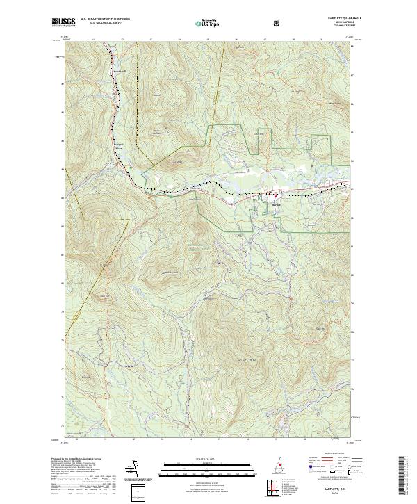
2024 Bartlett
Carroll County, NH
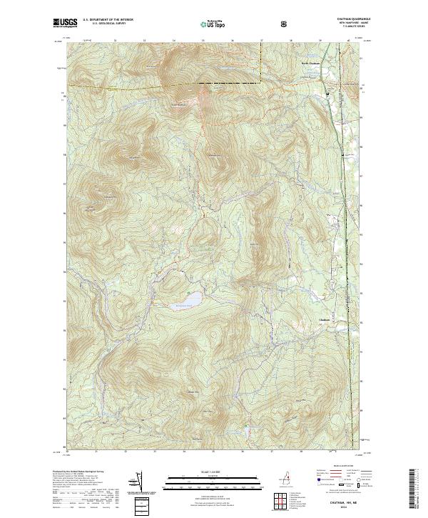
2024 Chatham
Carroll County, NH
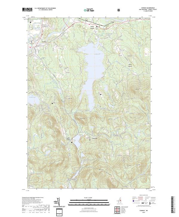
2024 Conway
Carroll County, NH
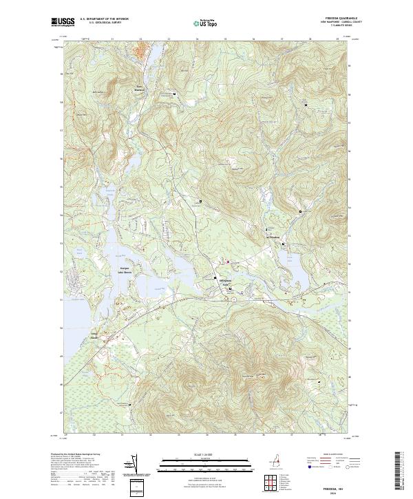
2024 Freedom
Carroll County, NH
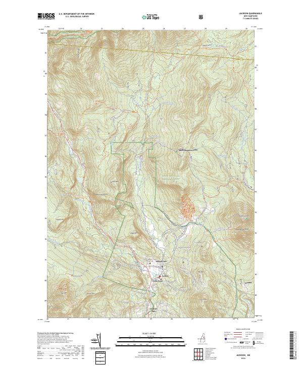
2024 Jackson
Carroll County, NH
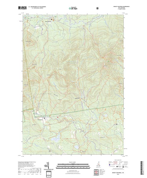
2024 Mount Chocorua
Carroll County, NH
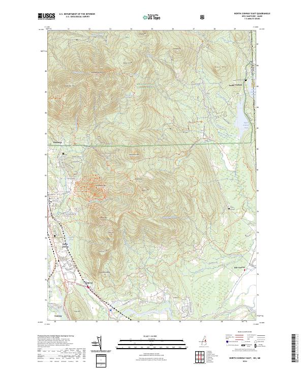
2024 North Conway East
Carroll County, NH
2024 North Conway West
Carroll County, NH
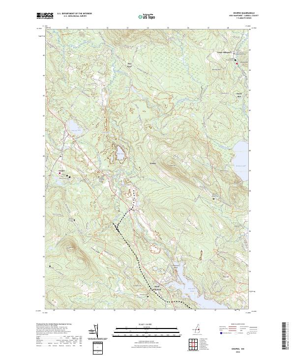
2024 Ossipee
Carroll County, NH
2024 Ossipee Lake
Carroll County, NH
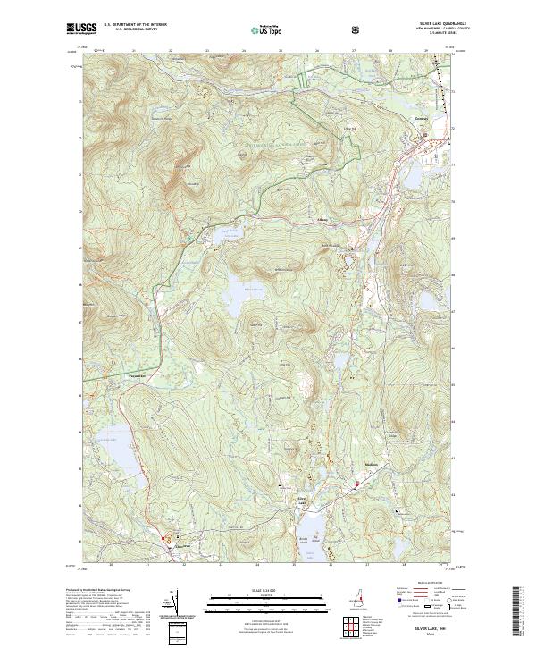
2024 Silver Lake
Carroll County, NH
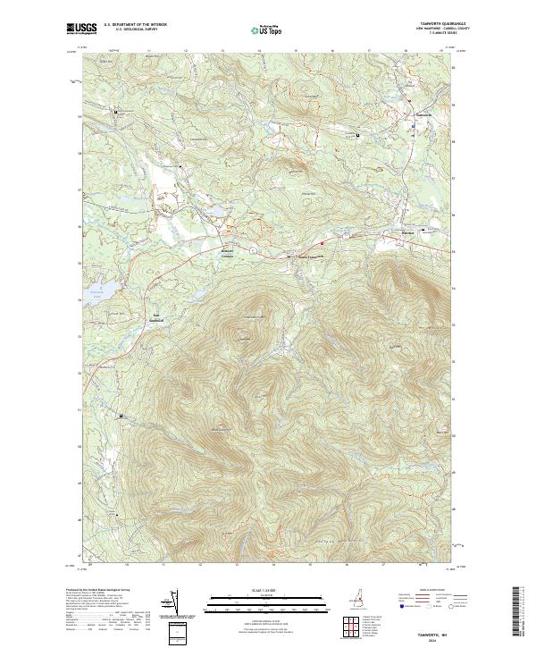
2024 Tamworth
Carroll County, NH
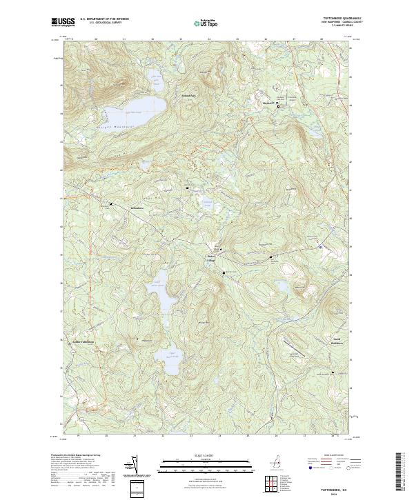
2024 Tuftonboro
Carroll County, NH
2024 Wolfeboro
Carroll County, NH