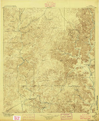
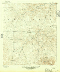
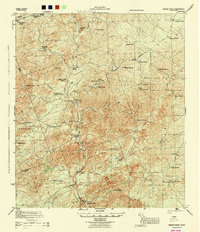
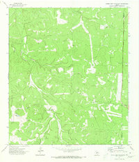
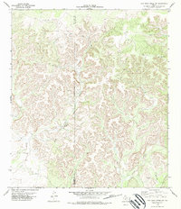
1896 Map of Nueces
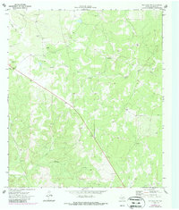
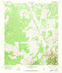
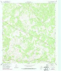
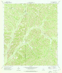
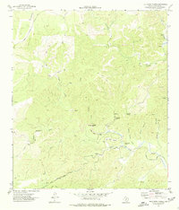
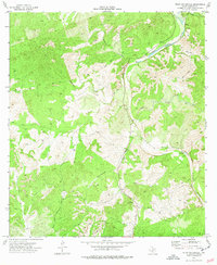
USGS Topo · Published 1896This historical map portrays the area of Nueces in 1896, primarily covering Edwards County as well as portions of Uvalde County, Kinney County, and Real County. Featuring a scale of 1:125000, this map provides a highly detailed snapshot of the terrain, roads, buildings, counties, and historical landmarks in the Nueces region at the time. Published in 1896, it is one of 4 known editions of this map due to revisions or reprints.
Find a feature on this map
72 named features on this map. Tap any name to fly to it.
Don’t see what you’re looking for? This feature index may not catch every label — zoom into the map to look around manually.
Map Details
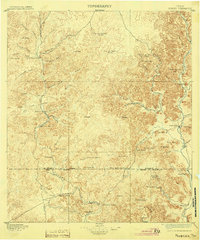
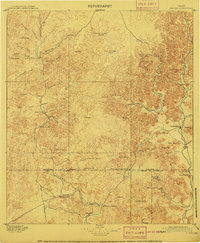
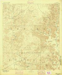
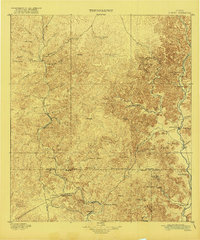
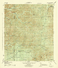
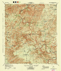
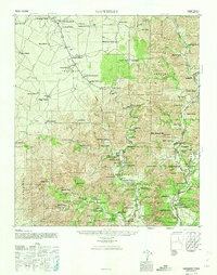
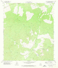
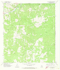
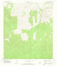
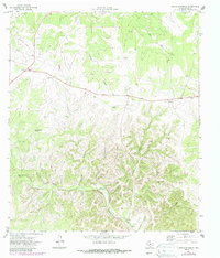
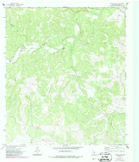
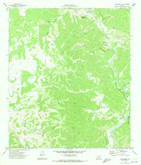
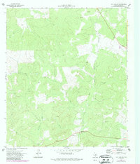
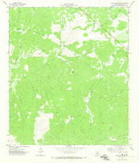
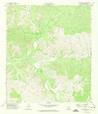
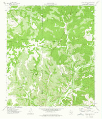
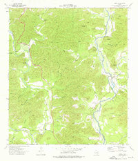
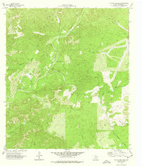
Editions of this 1896 Nueces Map
4 editions found
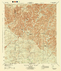
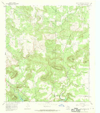
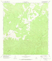
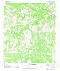
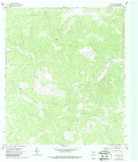
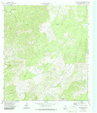
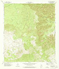
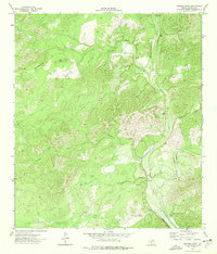
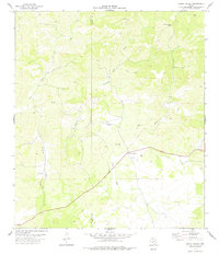
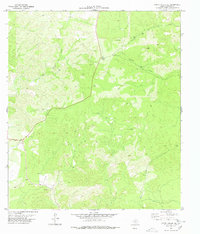
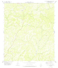
Historical Maps of Real County Through Time
39 maps found
1893 Nueces
Edwards County, TX
1893 Rock Springs
Edwards County, TX
1896 Nueces
Edwards County, TX
1943 Carta Valley
Edwards County, TX
1944 Flat Rock
Edwards County, TX
1944 Indian Creek
Edwards County, TX
1944 Indian Mountain
Edwards County, TX
1947 Hackberry
Edwards County, TX
1967 Indian Mountain
Edwards County, TX
1970 Ray Lake NW
Edwards County, TX
1971 Black Waterhole
Edwards County, TX
1971 Bradford Creek
Edwards County, TX
1971 Carta Valley NE
Edwards County, TX
1971 Cub Lake
Edwards County, TX
1971 Devils Sinkhole
Edwards County, TX
1971 Elbow Lake
Edwards County, TX
1971 Hackberry
Edwards County, TX
1971 Horse Camp Waterhole
Edwards County, TX
1971 Indian Creek NE
Edwards County, TX
1971 Paint Rock Spring
Edwards County, TX
1971 Ray Lake
Edwards County, TX
1971 Ray Lake SE
Edwards County, TX
1971 Ray Lake SW
Edwards County, TX
1971 Turney Draw NE
Edwards County, TX
1971 Turney Draw SE
Edwards County, TX
1973 Four Mills
Edwards County, TX
1973 Turney Draw NW
Edwards County, TX
1973 Vance
Edwards County, TX
1974 Cutting Pen Draw
Edwards County, TX
1974 Half Moon Prairie
Edwards County, TX
1974 Indian Mountain
Edwards County, TX
1974 Kelley Peak
Edwards County, TX
1974 Twomile Draw
Edwards County, TX
1974 Wiley Waterhole
Edwards County, TX
1978 Carta Valley
Edwards County, TX
1978 Carta Valley SE
Edwards County, TX
1978 Flat Rock Creek North
Edwards County, TX
1978 Flat Rock Creek NW
Edwards County, TX
1978 Holcomb Draw
Edwards County, TX