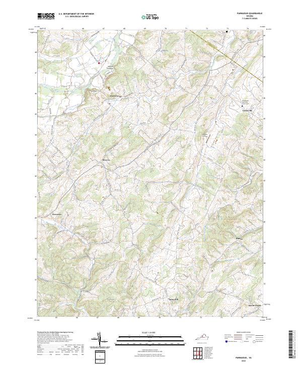
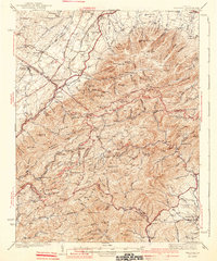
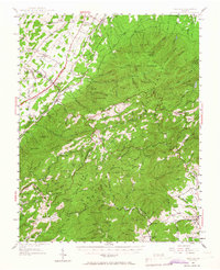
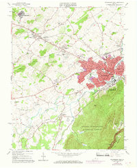
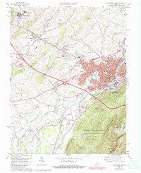
2022 Map of Parnassus
USGS Topo · Published 2022About this map
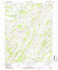
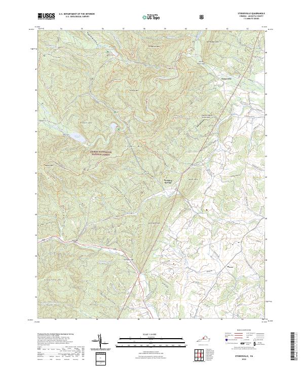
Natural Chimneys stands as a prominent landmark in this landscape of the Shenandoah Valley, situated along the North River where the borders of Rockingham and Augusta counties meet. The area is defined by a network of small agricultural settlements and crossroads including Mount Solon, Moscow, and Parnassus. The terrain transitions from the elevations of Castle Hill and the ridges surrounding Possum Hollow down into the productive bottomlands of Glade Valley.
Find a feature on this map
94 named features on this map. Tap any name to fly to it.
Don’t see what you’re looking for? This feature index may not catch every label — zoom into the map to look around manually.
Map Details
Editions of this 2022 Parnassus Map
This is the sole edition of this map. No revisions or reprints were ever made.
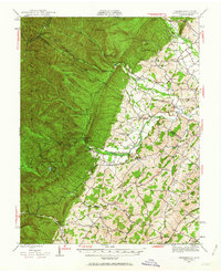
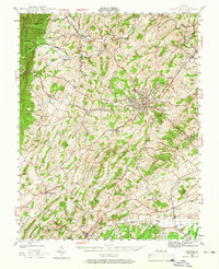
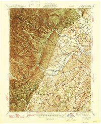
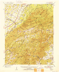
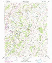
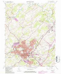
Historical Maps of Mount Solon Through Time
42 maps found
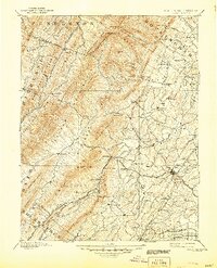
1894 Staunton
Augusta County, VA
1934 Waynesboro
Augusta County, VA

1936 Vesuvius
Augusta County, VA
1939 Waynesboro
Augusta County, VA
1941 Vesuvius
Augusta County, VA
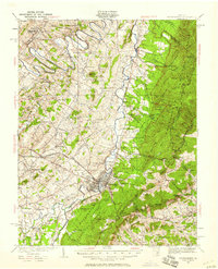
1944 Parnassus
Augusta County, VA
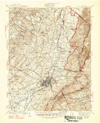
1944 Staunton
Augusta County, VA
1947 Parnassus
Augusta County, VA

1947 Staunton
Augusta County, VA
1950 Vesuvius
Augusta County, VA
1951 Vesuvius
Augusta County, VA
1964 Fort Defiance
Augusta County, VA
1964 Staunton
Augusta County, VA
1964 Waynesboro West
Augusta County, VA
1965 Big Levels
Augusta County, VA
1965 Vesuvius
Augusta County, VA
1967 Elliott Knob
Augusta County, VA
1967 Parnassus
Augusta County, VA
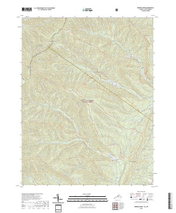
1967 Reddish Knob
Augusta County, VA

1967 Stokesville
Augusta County, VA
1967 West Augusta
Augusta County, VA
1969 Palo Alto
Augusta County, VA
1973 Waynesboro West
Augusta County, VA
1986 Staunton
Augusta County, VA

1998 Staunton
Augusta County, VA

1999 Big Levels
Augusta County, VA
1999 Elliott Knob
Augusta County, VA

1999 Palo Alto
Augusta County, VA

1999 Reddish Knob
Augusta County, VA

1999 Stokesville
Augusta County, VA
1999 West Augusta
Augusta County, VA
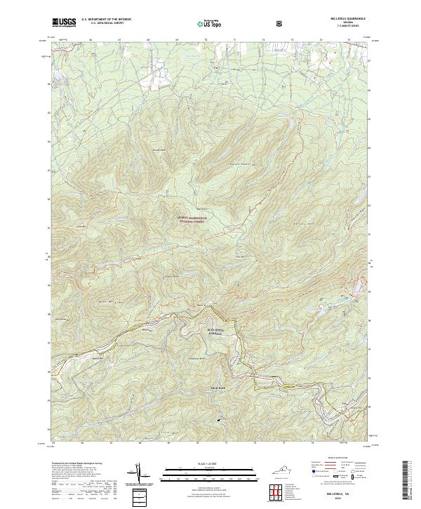
2022 Big Levels
Augusta County, VA
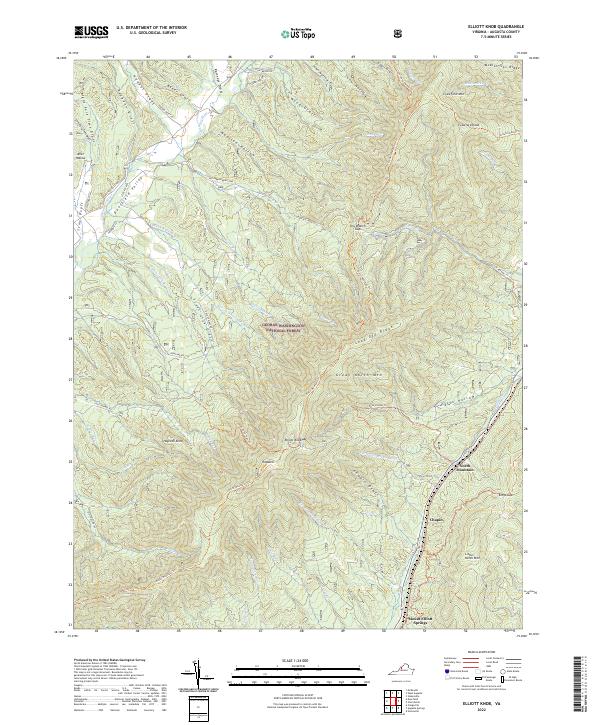
2022 Elliott Knob
Augusta County, VA
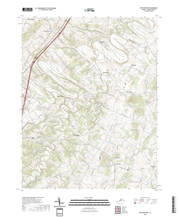
2022 Fort Defiance
Augusta County, VA
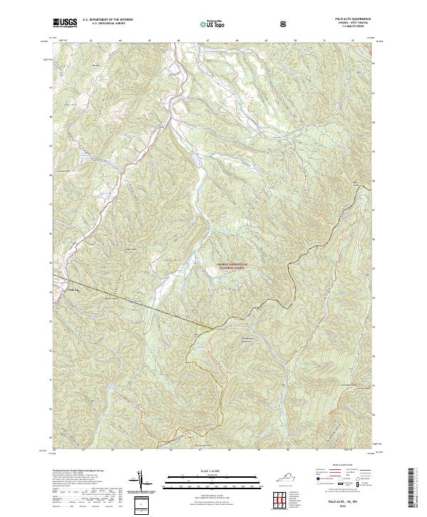
2022 Palo Alto
Augusta County, VA
2022 Parnassus
Augusta County, VA
2022 Reddish Knob
Augusta County, VA
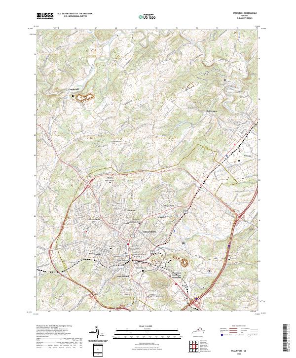
2022 Staunton
Augusta County, VA
2022 Stokesville
Augusta County, VA
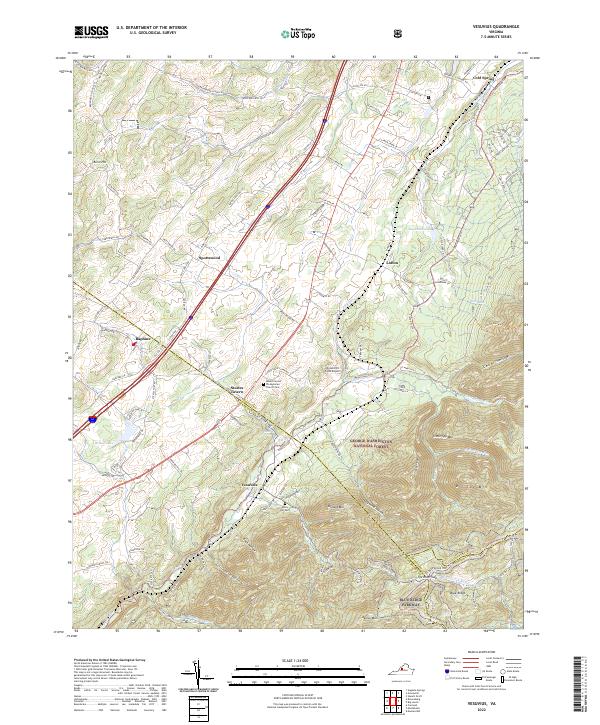
2022 Vesuvius
Augusta County, VA
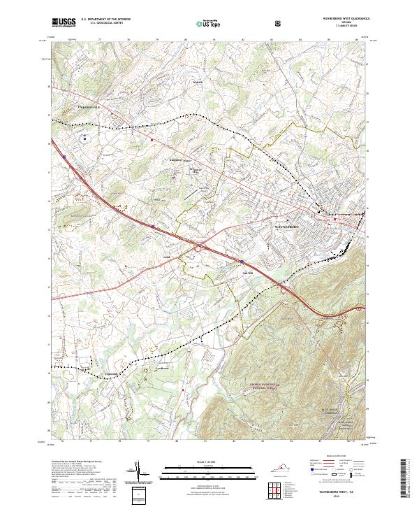
2022 Waynesboro West
Augusta County, VA
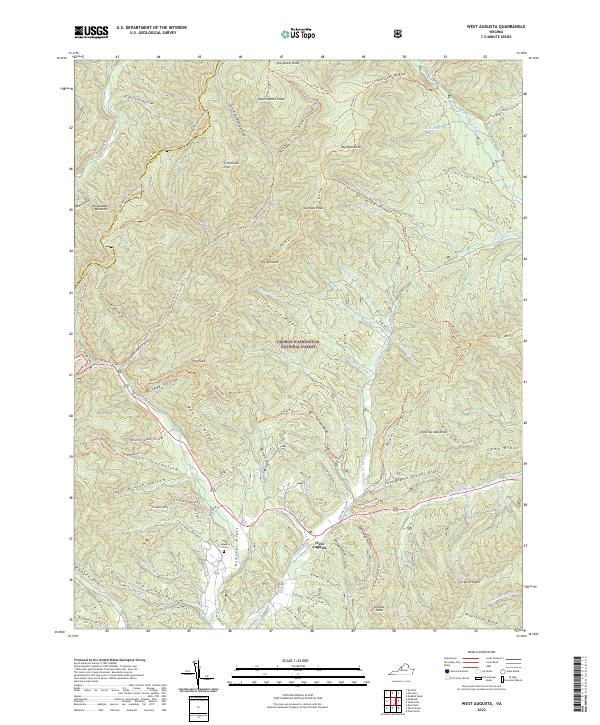
2022 West Augusta
Augusta County, VA