
2024 Map of Powell Point
USGS Topo · Published 2024About this map
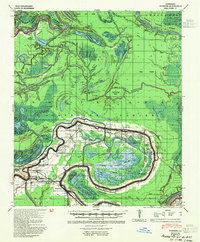
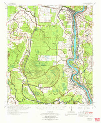
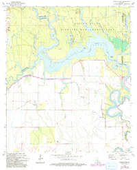
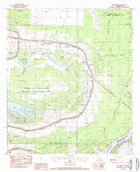
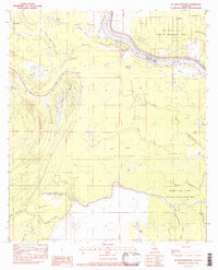
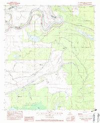
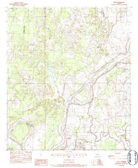
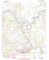
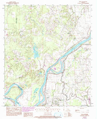
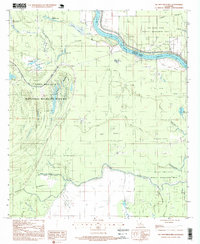
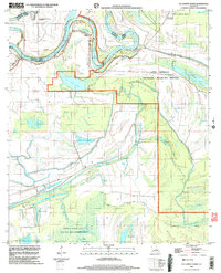
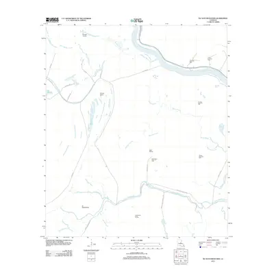
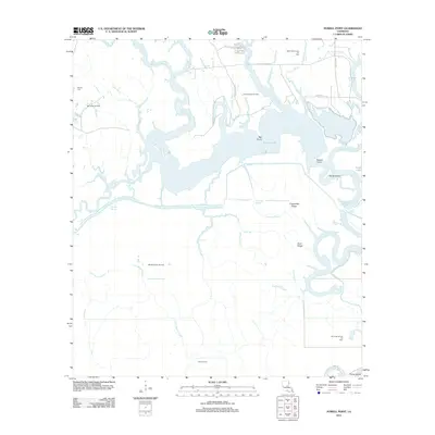
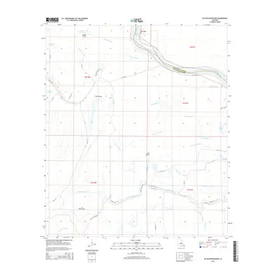
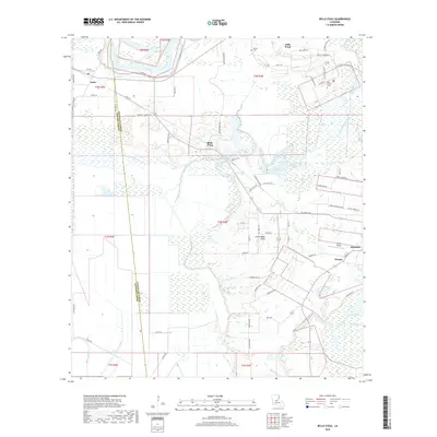
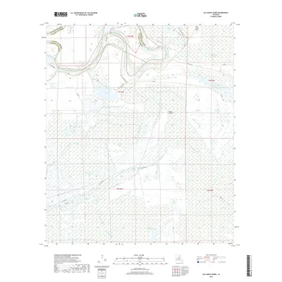
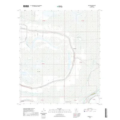
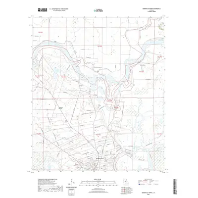
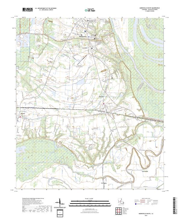
Deville Cem and the low-lying terrain of Big Island define the northwestern corner of this landscape where Rapides, LaSalle, and Avoyelles parishes meet. The area is a complex network of waterways, characterized by the winding path of Big Saline Bayou and the expansive waters near Big Point. The southern portion of the quadrangle transitions into more defined agricultural or managed parcels, yet it remains anchored by the alluvial history of the Old Red River. Distinctive elevated features such as Counterfeit Ridge and Gum Ridge provide a glimpse into the natural levee formations that historically dictated settlement and land use in this riverine environment. The map captures a high level of detail in the shifting channels of Jumping Bayou and Saline Bayou, illustrating the fluid nature of the Central Louisiana wetlands.
Find a feature on this map
45 named features on this map. Tap any name to fly to it.
Don’t see what you’re looking for? This feature index may not catch every label — zoom into the map to look around manually.
Map Details
Editions of this 2024 Powell Point Map
This is the sole edition of this map. No revisions or reprints were ever made.
Historical Maps of Rapides Parish Through Time
54 maps found
1941 Voorhies
Avoyelles Parish, LA

1955 Odenburg
Avoyelles Parish, LA
1970 Odenburg
Avoyelles Parish, LA
1972 Powell Point
Avoyelles Parish, LA
1982 Big Bend
Avoyelles Parish, LA
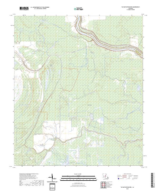
1982 Ile Natchitoches
Avoyelles Parish, LA
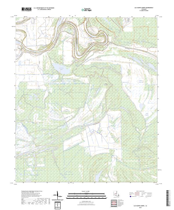
1982 Lac Sainte Agnes
Avoyelles Parish, LA
1982 Marksville South
Avoyelles Parish, LA
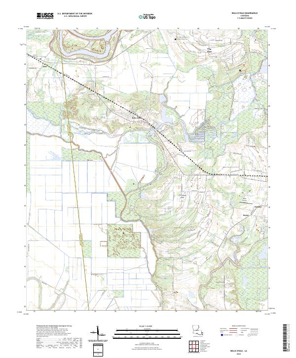
1983 Belle D'Eau
Avoyelles Parish, LA
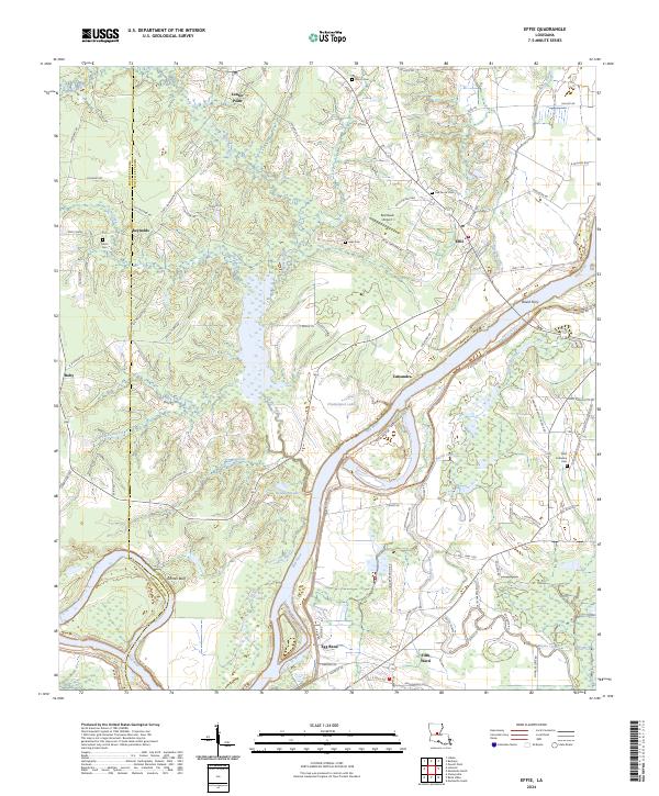
1983 Effie
Avoyelles Parish, LA
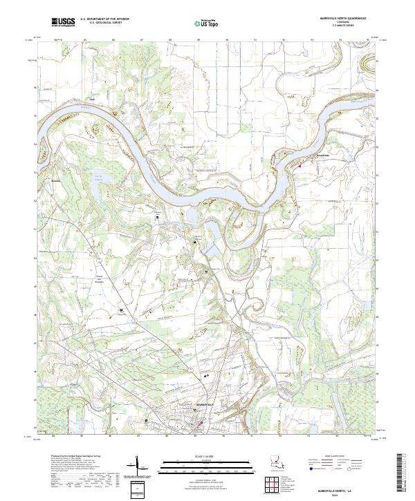
1983 Marksville North
Avoyelles Parish, LA
1993 Effie
Avoyelles Parish, LA
1996 Ile Natchitoches
Avoyelles Parish, LA
1999 Lac Sainte Agnes
Avoyelles Parish, LA
2012 Belle d'Eau
Avoyelles Parish, LA
2012 Big Bend
Avoyelles Parish, LA
2012 Effie
Avoyelles Parish, LA
2012 Ile Natchitoches
Avoyelles Parish, LA
2012 Lac Sainte Agnes
Avoyelles Parish, LA
2012 Marksville North
Avoyelles Parish, LA
2012 Marksville South
Avoyelles Parish, LA
2012 Powell Point
Avoyelles Parish, LA
2015 Belle d'Eau
Avoyelles Parish, LA
2015 Big Bend
Avoyelles Parish, LA
2015 Effie
Avoyelles Parish, LA
2015 Ile Natchitoches
Avoyelles Parish, LA
2015 Lac Sainte Agnes
Avoyelles Parish, LA
2015 Marksville North
Avoyelles Parish, LA

2015 Marksville South
Avoyelles Parish, LA
2015 Powell Point
Avoyelles Parish, LA
2018 Belle d'Eau
Avoyelles Parish, LA
2018 Big Bend
Avoyelles Parish, LA
2018 Effie
Avoyelles Parish, LA
2018 Ile Natchitoches
Avoyelles Parish, LA
2018 Lac Sainte Agnes
Avoyelles Parish, LA
2018 Marksville North
Avoyelles Parish, LA

2018 Marksville South
Avoyelles Parish, LA
2018 Powell Point
Avoyelles Parish, LA
2020 Belle d'Eau
Avoyelles Parish, LA
2020 Big Bend
Avoyelles Parish, LA
2020 Effie
Avoyelles Parish, LA
2020 Ile Natchitoches
Avoyelles Parish, LA
2020 Lac Sainte Agnes
Avoyelles Parish, LA
2020 Marksville North
Avoyelles Parish, LA

2020 Marksville South
Avoyelles Parish, LA
2020 Powell Point
Avoyelles Parish, LA
2024 Belle d'Eau
Avoyelles Parish, LA
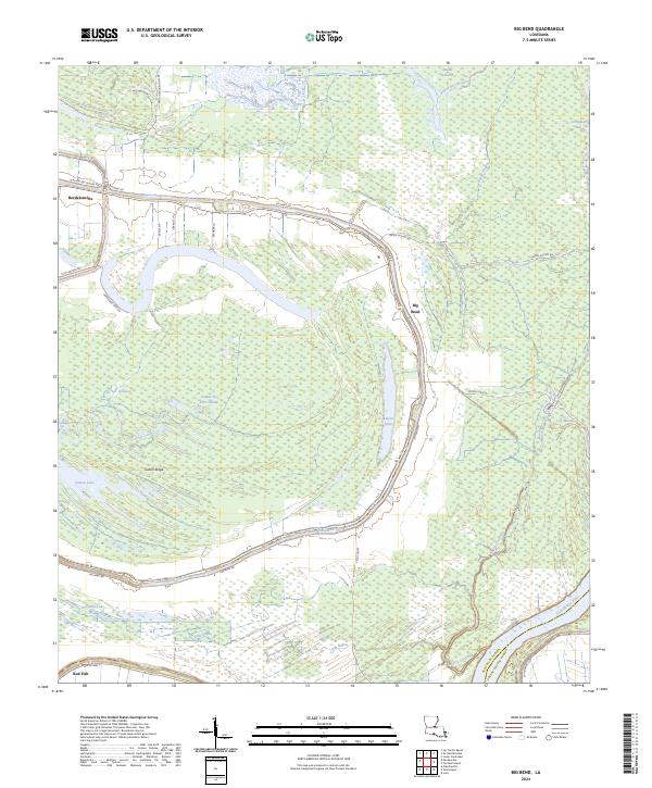
2024 Big Bend
Avoyelles Parish, LA
2024 Effie
Avoyelles Parish, LA
2024 Ile Natchitoches
Avoyelles Parish, LA
2024 Lac Sainte Agnes
Avoyelles Parish, LA
2024 Marksville North
Avoyelles Parish, LA
2024 Marksville South
Avoyelles Parish, LA
2024 Powell Point
Avoyelles Parish, LA