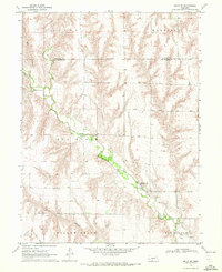
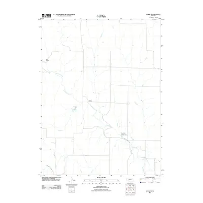
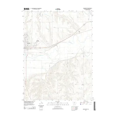
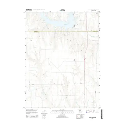
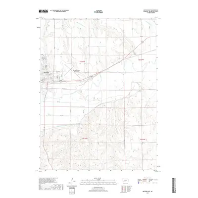
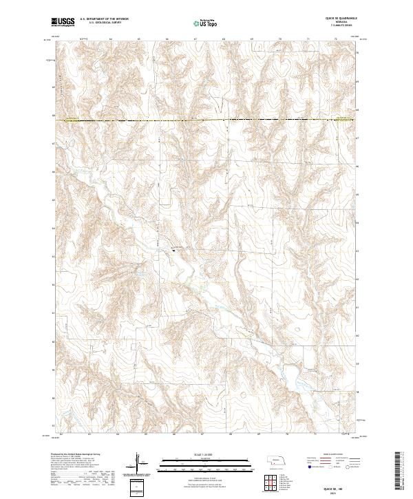
2021 Map of Red Willow Dam
USGS Topo · Published 2021About this map
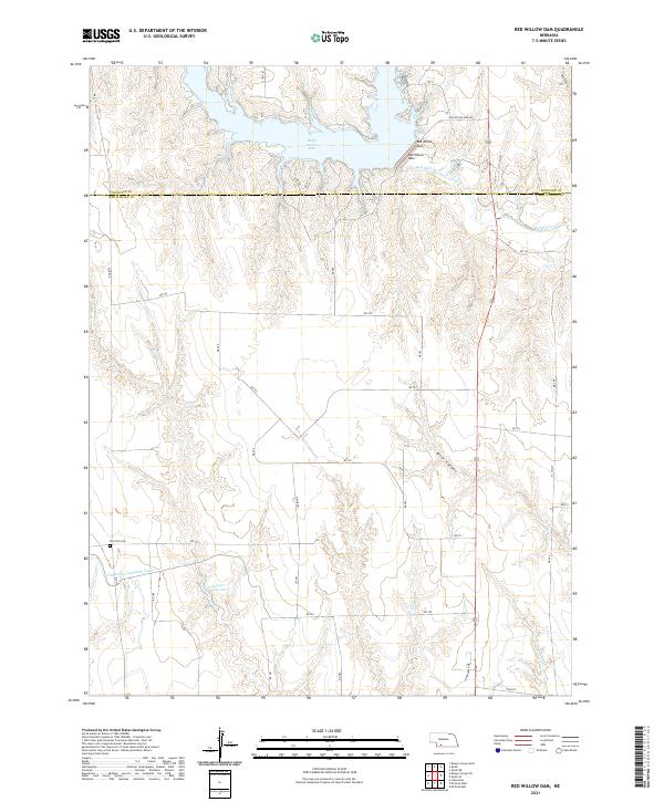
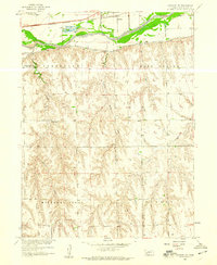
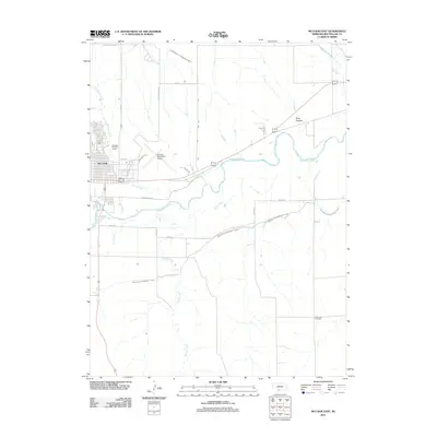
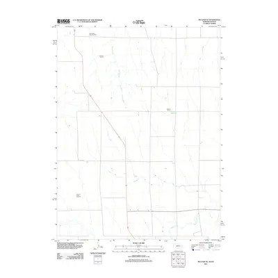
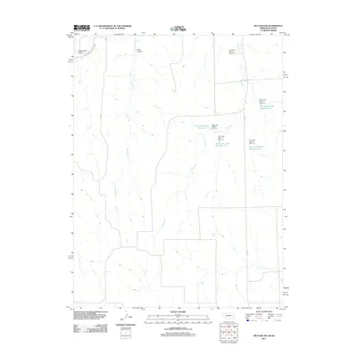
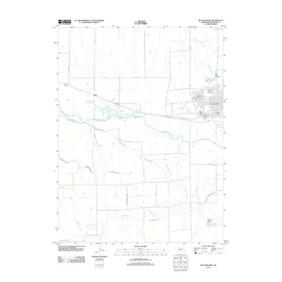
Hugh Butler Lake and the engineered waters of the Red Willow Dam dominate the northern landscape of this quadrangle, where the modern management of Red Willow Creek meets the agricultural traditions of the High Plains. The map details a complex water system including the Spencer Reservoir and the Culbertson Extension Canal, essential infrastructure for the region's farming economy. Local heritage is grounded at the Zion Hill Cemetery, located along RD 721. The terrain is defined by dramatic erosional features like River Canyon and Bee Canyon, which break the geometric precision of the township and range survey lines. Crossing the border between Frontier and Red Willow Counties, the sheet traces a network of rural routes such as Red Willow Dam Road and Cornhusker Drive, mapping the persistent connection between remote homesteads and the vital water resources that sustain them.
Find a feature on this map
34 named features on this map. Tap any name to fly to it.
Don’t see what you’re looking for? This feature index may not catch every label — zoom into the map to look around manually.
Map Details
Editions of this 2021 Red Willow Dam Map
This is the sole edition of this map. No revisions or reprints were ever made.
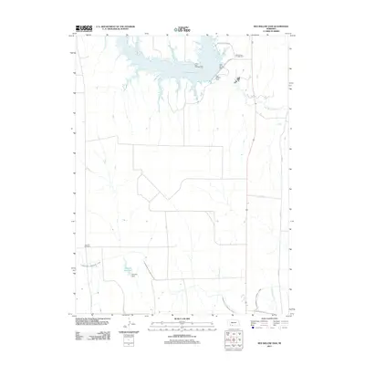
Historical Maps of Red Willow County Through Time
41 maps found
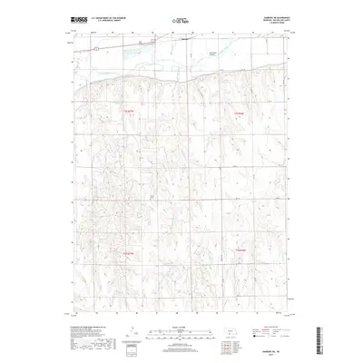
1957 Danbury NE
Red Willow County, NE
1957 McCook SE
Red Willow County, NE
1957 McCook SW
Red Willow County, NE
1958 Danbury NE
Red Willow County, NE
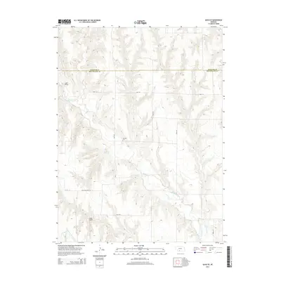
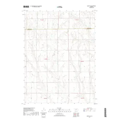
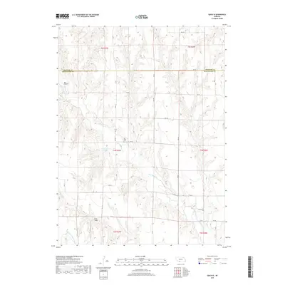
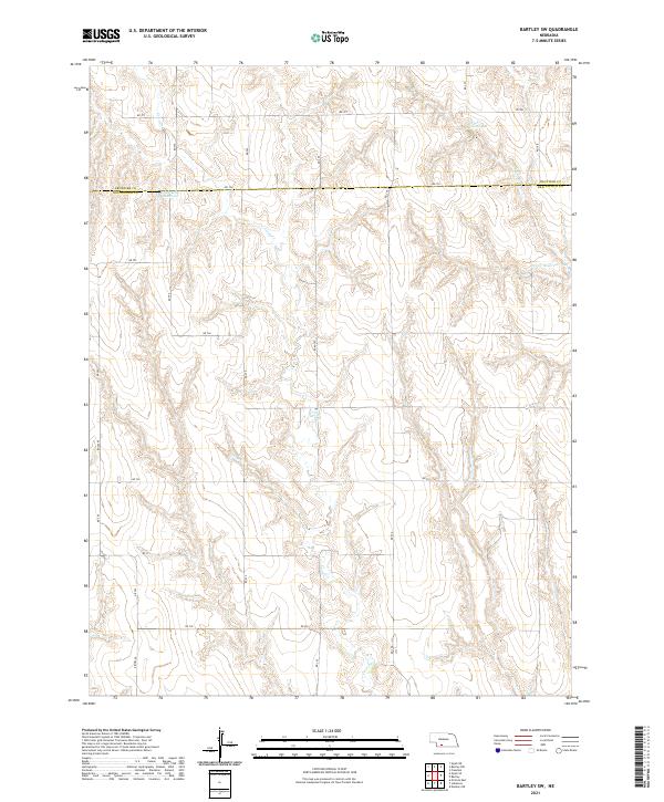
1970 Bartley SW
Red Willow County, NE
1970 McCook East
Red Willow County, NE
1970 McCook West
Red Willow County, NE
1970 Quick SE
Red Willow County, NE
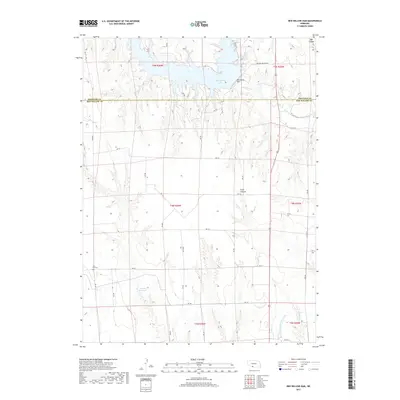
1970 Red Willow Dam
Red Willow County, NE
2011 Bartley SW
Red Willow County, NE
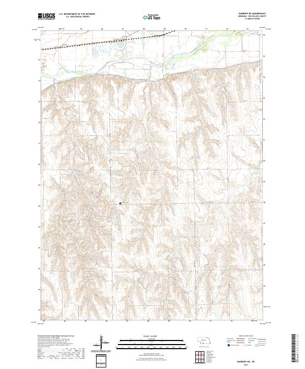
2011 Danbury NE
Red Willow County, NE
2011 McCook East
Red Willow County, NE
2011 McCook SE
Red Willow County, NE
2011 McCook SW
Red Willow County, NE
2011 McCook West
Red Willow County, NE
2011 Quick SE
Red Willow County, NE
2011 Red Willow Dam
Red Willow County, NE
2014 Bartley SW
Red Willow County, NE
2014 Danbury NE
Red Willow County, NE
2014 McCook East
Red Willow County, NE
2014 McCook SE
Red Willow County, NE
2014 McCook SW
Red Willow County, NE
2014 McCook West
Red Willow County, NE
2014 Quick SE
Red Willow County, NE
2014 Red Willow Dam
Red Willow County, NE
2017 Bartley SW
Red Willow County, NE
2017 Danbury NE
Red Willow County, NE
2017 McCook East
Red Willow County, NE
2017 McCook SE
Red Willow County, NE
2017 McCook SW
Red Willow County, NE
2017 McCook West
Red Willow County, NE
2017 Quick SE
Red Willow County, NE
2017 Red Willow Dam
Red Willow County, NE
2021 Bartley SW
Red Willow County, NE
2021 Danbury NE
Red Willow County, NE
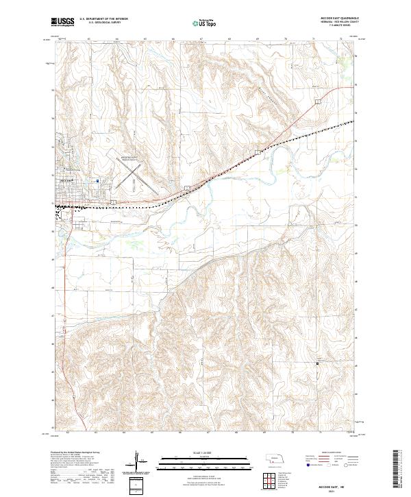
2021 McCook East
Red Willow County, NE
2021 McCook SE
Red Willow County, NE
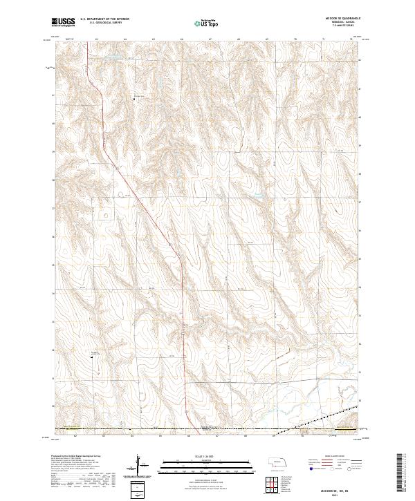
2021 McCook SW
Red Willow County, NE
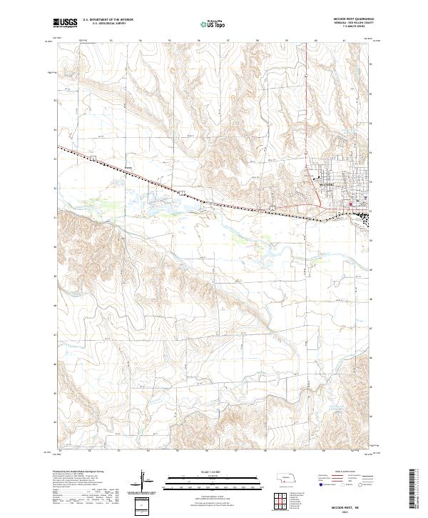
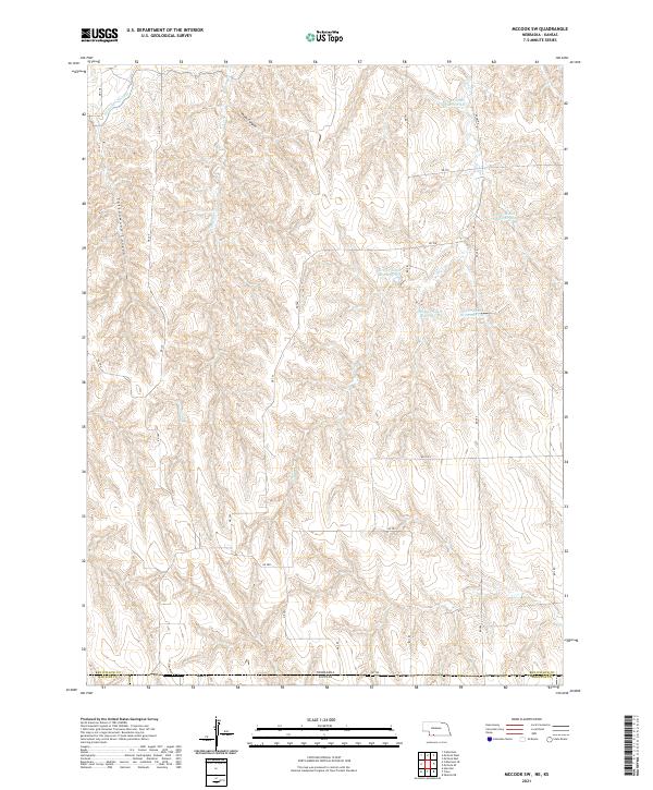
2021 McCook West
Red Willow County, NE
2021 Quick SE
Red Willow County, NE
2021 Red Willow Dam
Red Willow County, NE