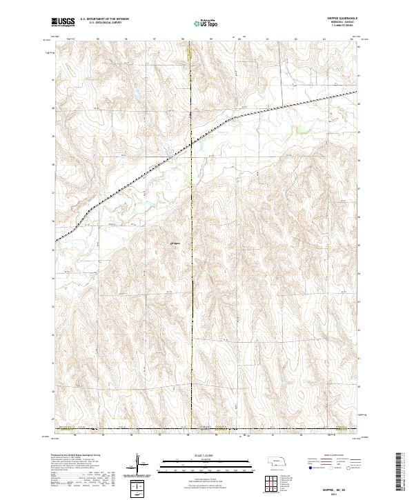
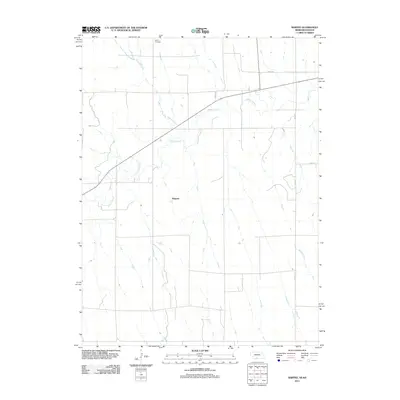
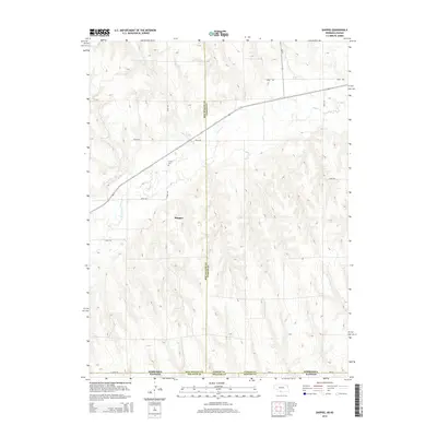
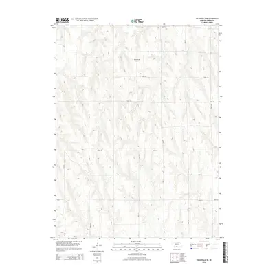
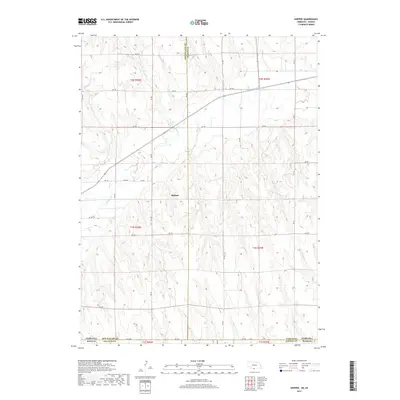
2021 Map of Shippee
USGS Topo · Published 2021About this map
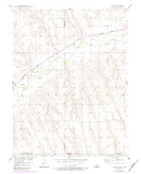
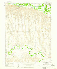
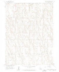
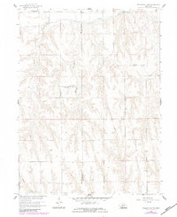
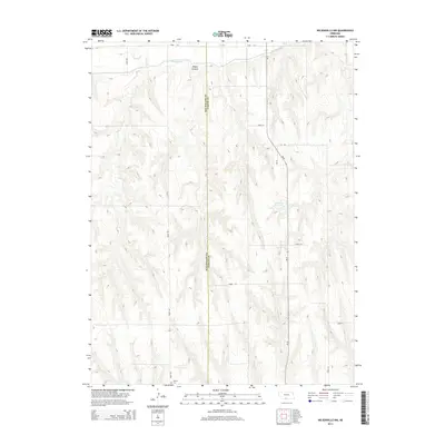
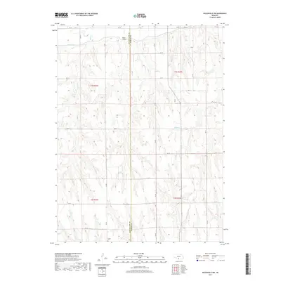
Shippee lies at the heart of this agricultural landscape in the Republican River Valley region, situated near the winding course of Beaver Cr. This area of southern Nebraska, documented in 2021, reflects a section-line grid system where rural roads like RD 709 and RD 708 cross a terrain defined by deep drainages such as Wildcat Cr and Johnson Cr. The map captures a critical border zone where the state line meets Kansas, showing the intersection of Furnas and Red Willow counties in Nebraska with Decatur and Norton counties in Kansas. The concentration of road labels like Co RD 509 and RD 702 along these jurisdictional boundaries highlights the infrastructure supporting the isolated farmsteads and rural properties characteristic of the Great Plains borderlands.
Find a feature on this map
29 named features on this map. Tap any name to fly to it.
Don’t see what you’re looking for? This feature index may not catch every label — zoom into the map to look around manually.
Map Details
Editions of this 2021 Shippee Map
This is the sole edition of this map. No revisions or reprints were ever made.
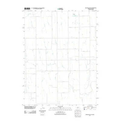
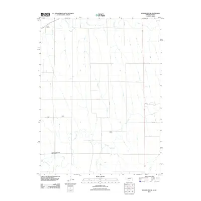
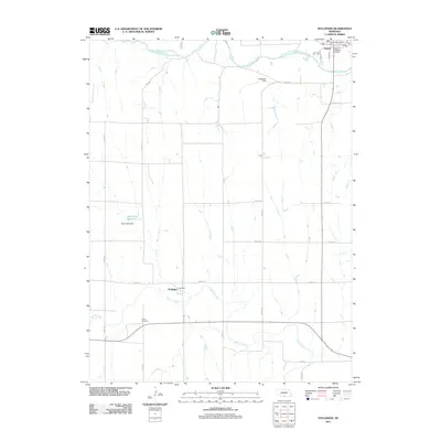
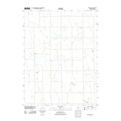
Historical Maps of Red Willow County Through Time
35 maps found
1957 Beaver City SE
Furnas County, NE
1957 Beaver City SW
Furnas County, NE
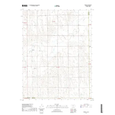
1957 Precept
Furnas County, NE
1957 Shippee
Furnas County, NE
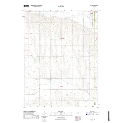
1958 Hollinger
Furnas County, NE
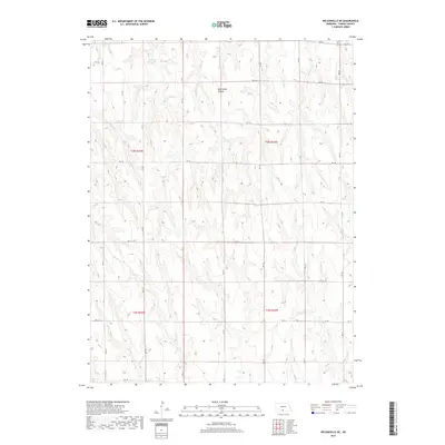
1958 Wilsonville NE
Furnas County, NE
1958 Wilsonville NW
Furnas County, NE
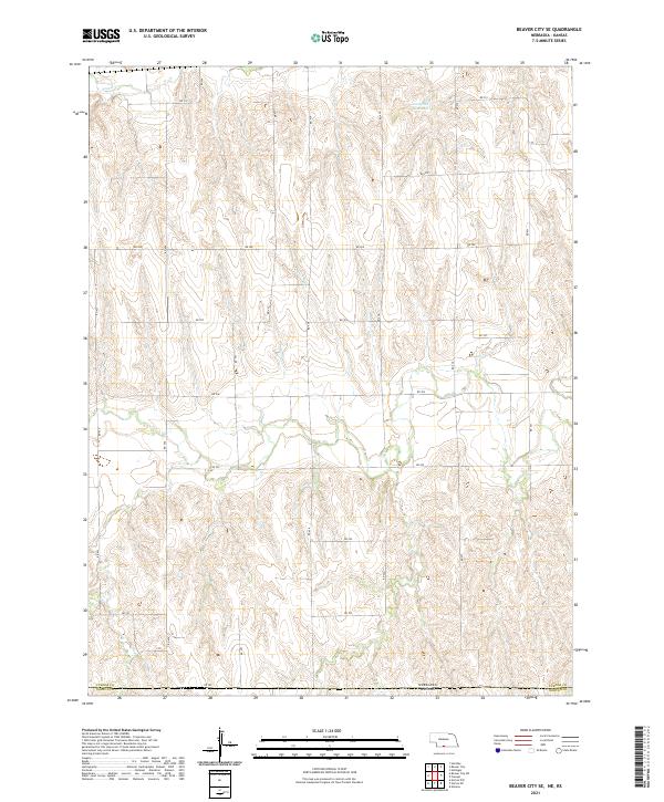
2011 Beaver City SE
Furnas County, NE
2011 Beaver City SW
Furnas County, NE
2011 Hollinger
Furnas County, NE
2011 Precept
Furnas County, NE
2011 Shippee
Furnas County, NE
2011 Wilsonville NE
Furnas County, NE
2011 Wilsonville NW
Furnas County, NE
2014 Beaver City SE
Furnas County, NE
2014 Beaver City SW
Furnas County, NE
2014 Hollinger
Furnas County, NE
2014 Precept
Furnas County, NE
2014 Shippee
Furnas County, NE
2014 Wilsonville NE
Furnas County, NE
2014 Wilsonville NW
Furnas County, NE
2017 Beaver City SE
Furnas County, NE
2017 Beaver City SW
Furnas County, NE
2017 Hollinger
Furnas County, NE
2017 Precept
Furnas County, NE
2017 Shippee
Furnas County, NE
2017 Wilsonville NE
Furnas County, NE
2017 Wilsonville NW
Furnas County, NE
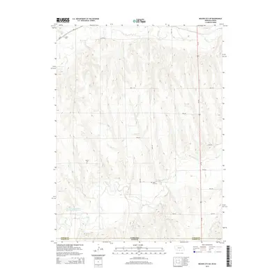
2021 Beaver City SE
Furnas County, NE
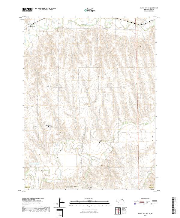
2021 Beaver City SW
Furnas County, NE
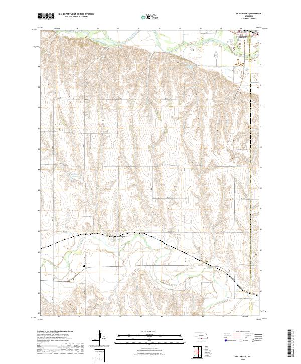
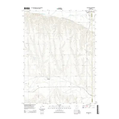
2021 Hollinger
Furnas County, NE
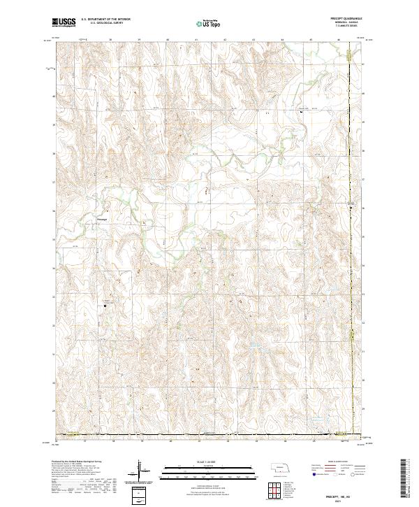
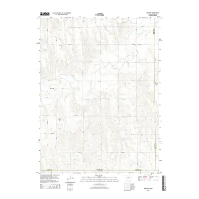
2021 Precept
Furnas County, NE
2021 Shippee
Furnas County, NE
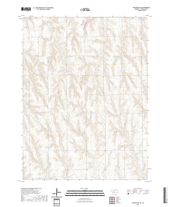
2021 Wilsonville NE
Furnas County, NE
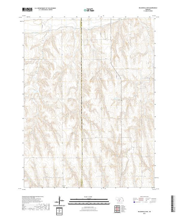
2021 Wilsonville NW
Furnas County, NE