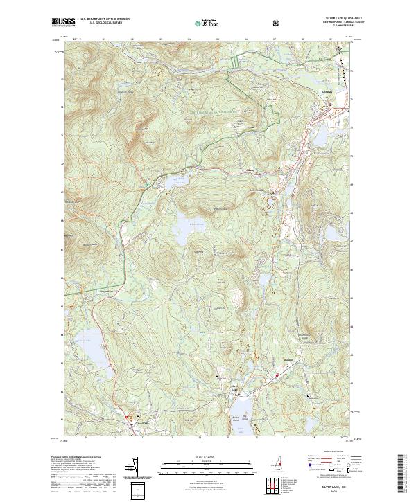
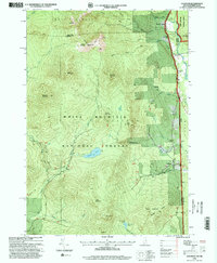
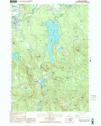
2024 Map of Silver Lake
USGS Topo · Published 2024About this map
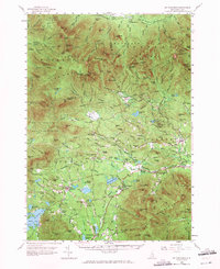
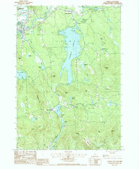
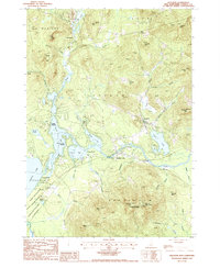
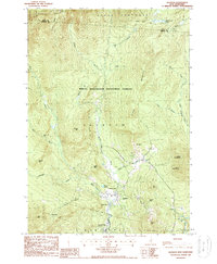
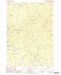
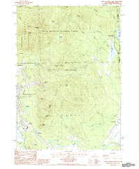
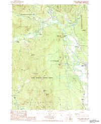
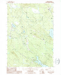
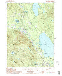
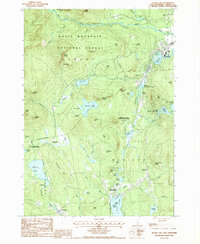
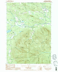
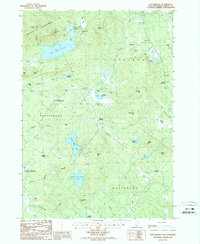
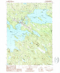
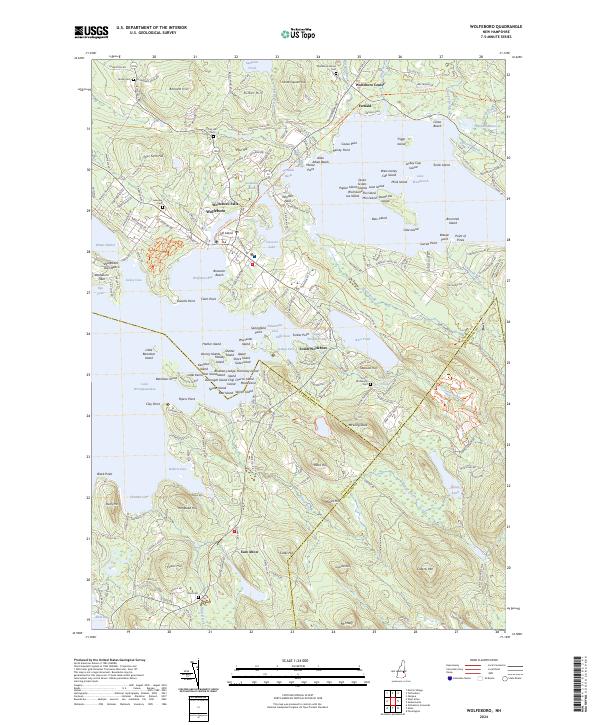
Silver Lake and the southern reaches of the White Mountain National Forest anchor this Carroll County landscape, where the transition from lakefront settlements to the high ledges of the Sandwich Range is clearly defined. The area around Madison and the village of Chocoru (Chocorua) preserves a dense network of local history, including the Lyman Cem, Chocorua Cem, and Madison Cem. To the north, the terrain rises sharply toward Whitton Ledge and Eagle Ledge, bisected by the Swift River and its numerous tributaries like Cream Brook and Allard Brook.
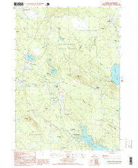
Find a feature on this map
121 named features on this map. Tap any name to fly to it.
Don’t see what you’re looking for? This feature index may not catch every label — zoom into the map to look around manually.
Map Details
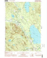
Editions of this 2024 Silver Lake Map
This is the sole edition of this map. No revisions or reprints were ever made.
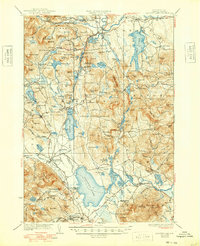
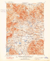
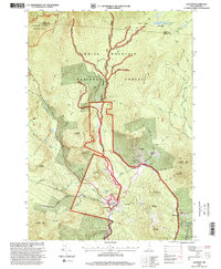
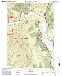
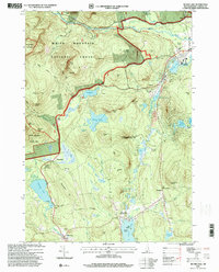
Historical Maps of Madison Through Time
46 maps found
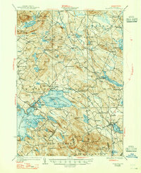
1928 Wolfeboro
Carroll County, NH
1930 Ossipee Lake
Carroll County, NH
1931 Mt. Chocorua
Carroll County, NH
1958 Mt. Chocorua
Carroll County, NH
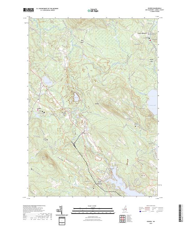
1958 Ossipee Lake
Carroll County, NH
1958 Wolfeboro
Carroll County, NH
1987 Bartlett
Carroll County, NH

1987 Chatham
Carroll County, NH
1987 Conway
Carroll County, NH
1987 Freedom
Carroll County, NH
1987 Jackson
Carroll County, NH
1987 Mount Chocorua
Carroll County, NH
1987 North Conway East
Carroll County, NH
1987 North Conway West
Carroll County, NH
1987 Ossipee
Carroll County, NH
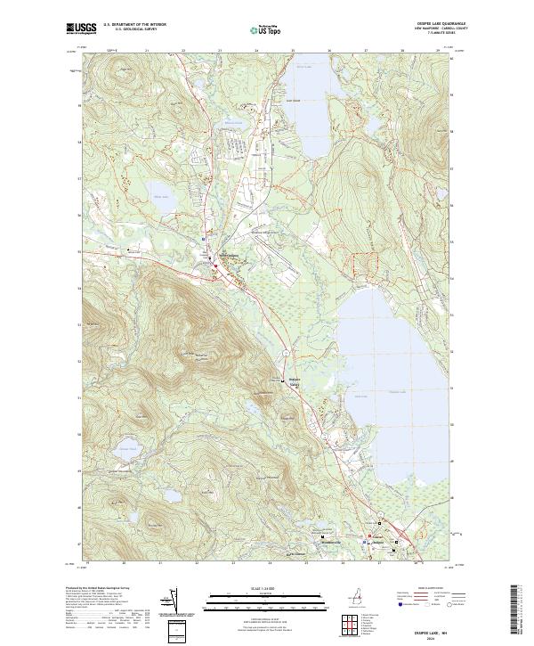
1987 Ossipee Lake
Carroll County, NH
1987 Silver Lake
Carroll County, NH
1987 Tamworth
Carroll County, NH
1987 Tuftonboro
Carroll County, NH
1987 Wolfeboro
Carroll County, NH

1995 Bartlett
Carroll County, NH
1995 Chatham
Carroll County, NH
1995 Jackson
Carroll County, NH

1995 Mount Chocorua
Carroll County, NH

1995 North Conway East
Carroll County, NH
1995 North Conway West
Carroll County, NH
1995 Silver Lake
Carroll County, NH
1998 Conway
Carroll County, NH
1998 Ossipee
Carroll County, NH
1998 Ossipee Lake
Carroll County, NH

1998 Tamworth
Carroll County, NH
2000 Tuftonboro
Carroll County, NH
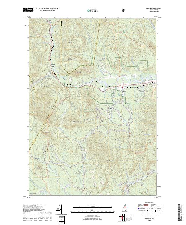
2024 Bartlett
Carroll County, NH
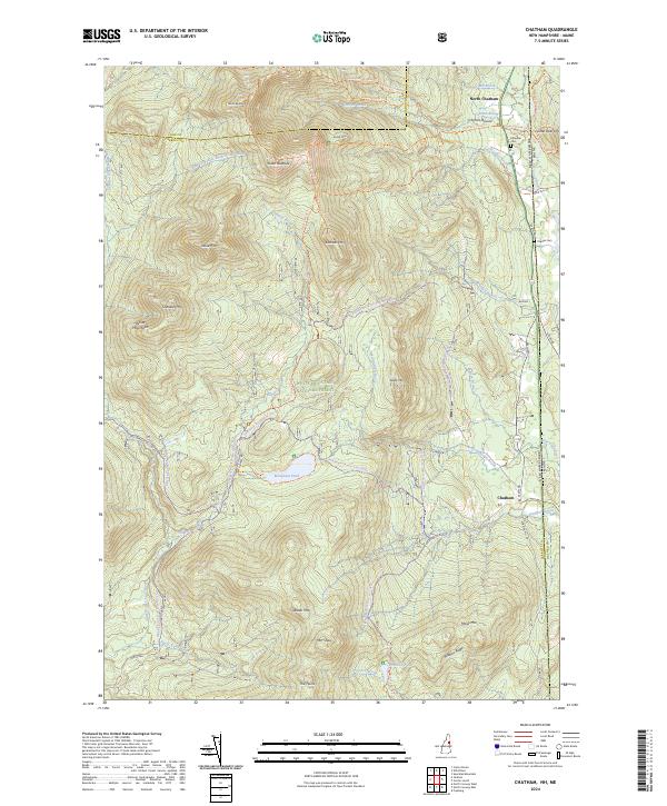
2024 Chatham
Carroll County, NH
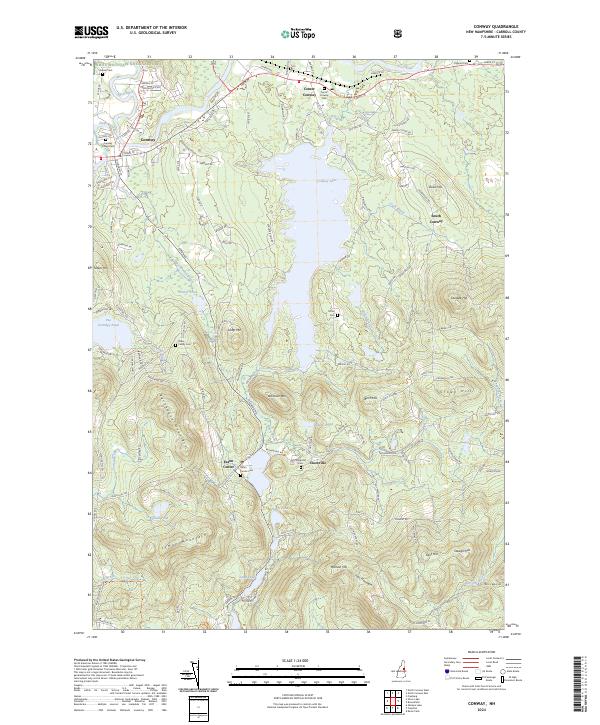
2024 Conway
Carroll County, NH
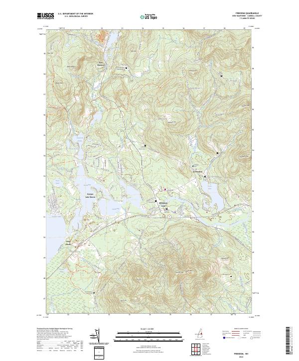
2024 Freedom
Carroll County, NH
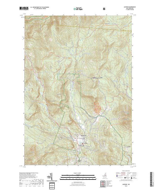
2024 Jackson
Carroll County, NH
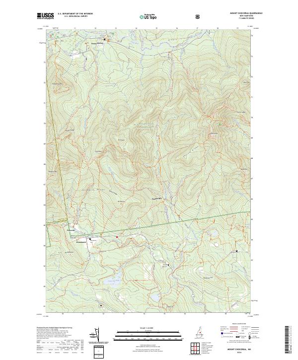
2024 Mount Chocorua
Carroll County, NH
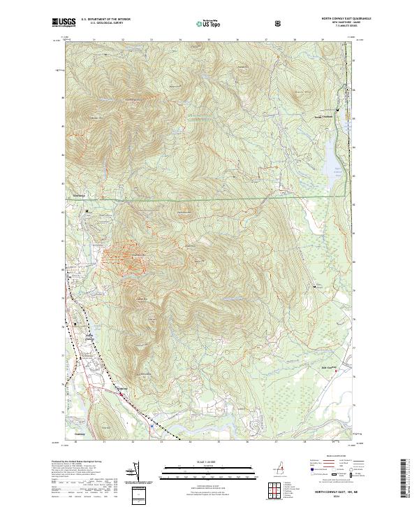
2024 North Conway East
Carroll County, NH
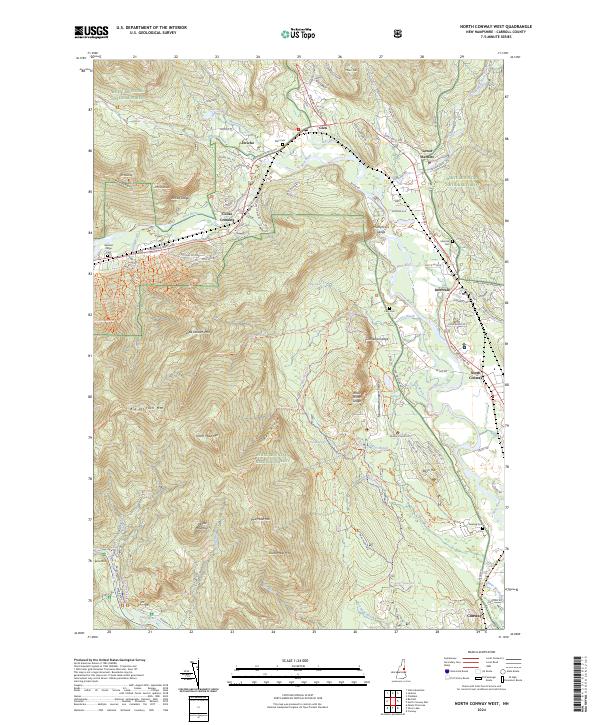
2024 North Conway West
Carroll County, NH
2024 Ossipee
Carroll County, NH
2024 Ossipee Lake
Carroll County, NH
2024 Silver Lake
Carroll County, NH
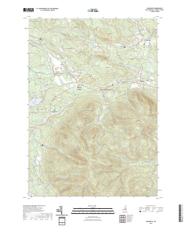
2024 Tamworth
Carroll County, NH
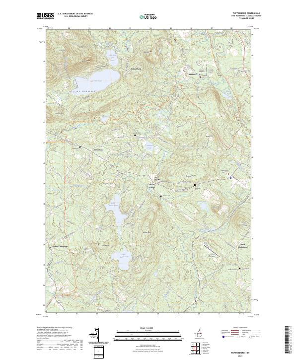
2024 Tuftonboro
Carroll County, NH
2024 Wolfeboro
Carroll County, NH