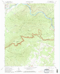
1966 Map of Snowden
USGS Topo · Published 1979About this map
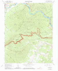
The James River cuts through the steep ridges of the Blue Ridge in this mid-1960s survey, where the Chesapeake and Ohio River railroad tracks follow the northern bank through the narrow gap. The small settlement of Snowden serves as a focal point near the river's bend, while Natural Bridge Station and Greenlee occupy the northwestern corner near the Sawmill Hollow drainage. The landscape is defined by the winding Blue Ridge Parkway, which traverses high elevations at Thunder Ridge and Petites Gap, offering access to the George Washington National Forest and Jefferson National Forest.
Find a feature on this map
65 named features on this map. Tap any name to fly to it.
Don’t see what you’re looking for? This feature index may not catch every label — zoom into the map to look around manually.
Map Details
Editions of this 1966 Snowden Map
2 editions found
Other maps of this area

1890 · Roanoke
USGS Topo · 1:125,000

1891 · Roanoke
USGS Topo · 1:125,000

1892 · Lynchburg
USGS Topo · 1:125,000

1894 · Natural Bridge
USGS Topo · 1:125,000

1894 · Lexington
USGS Topo · 1:125,000

1894 · Natural Bridge
USGS Topo · 1:62,500

1907 · Natural Bridge Special
USGS Topo · 1:62,500

1935 · Buena Vista
USGS Topo · 1:48,000

1939 · Buena Vista
USGS Topo · 1:62,500

1940 · Buena Vista
USGS Topo · 1:62,500