
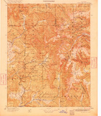
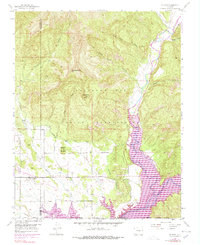
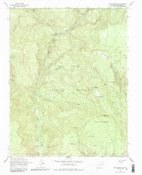
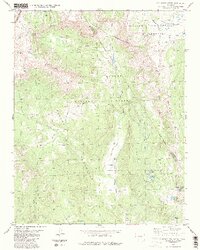
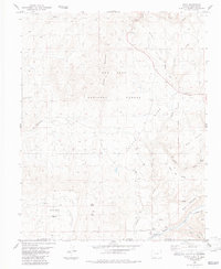
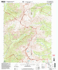
1915 Map of Summitville
USGS Topo · Published 1915This historical map portrays the area of Summitville in 1915, primarily covering Archuleta County as well as portions of New Mexico. Featuring a scale of 1:125000, this map provides a highly detailed snapshot of the terrain, roads, buildings, counties, and historical landmarks in the Summitville region at the time. Published in 1915, it is one of 5 known editions of this map due to revisions or reprints.
Map Details
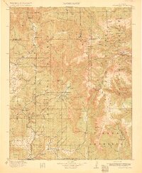
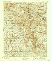
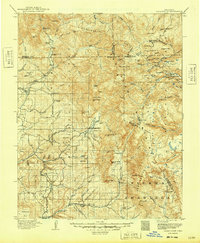
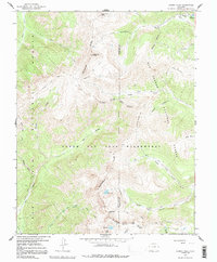
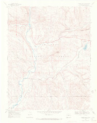
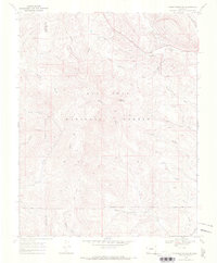
Editions of this 1915 Summitville Map
5 editions found

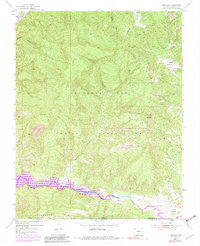
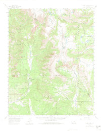
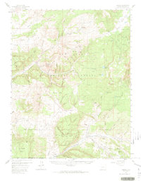
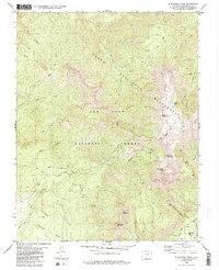
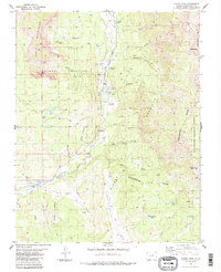
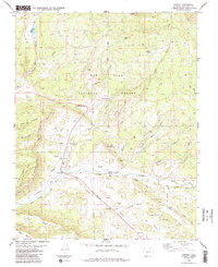
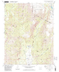
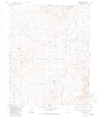
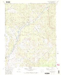
Historical Maps of Archuleta County Through Time
29 maps found

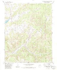
1913 Summitville
Archuleta County, CO
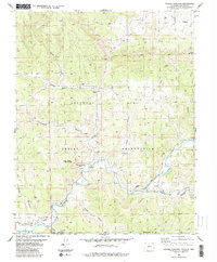
1915 Summitville
Archuleta County, CO
1954 Allison
Archuleta County, CO
1954 Carracas
Archuleta County, CO
1957 Chama Peak
Archuleta County, CO
1957 Chromo
Archuleta County, CO
1957 Pagosa Junction
Archuleta County, CO
1957 Wolf Creek Pass
Archuleta County, CO
1964 Baldy Mountain
Archuleta County, CO
1964 Chris Mountain
Archuleta County, CO
1964 Devil Mountain
Archuleta County, CO
1966 Summit Peak
Archuleta County, CO
1968 Chimney Rock
Archuleta County, CO
1968 Pargin Mountain
Archuleta County, CO
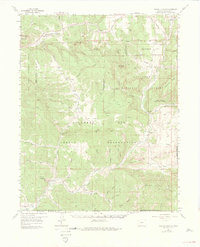
1984 Archuleta Creek
Archuleta County, CO
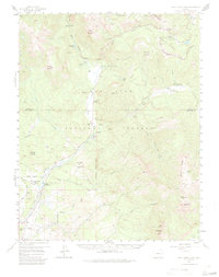
1984 Blackhead Peak
Archuleta County, CO
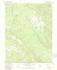
1984 Chama Peak
Archuleta County, CO
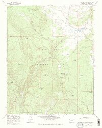
1984 Chromo
Archuleta County, CO
1984 Edith
Archuleta County, CO
1984 Elephant Head Rock
Archuleta County, CO
1984 Harris Lake
Archuleta County, CO
1984 Jackson Mountain
Archuleta County, CO

1984 Lonetree Canyon
Archuleta County, CO

1984 Oak Brush Hill
Archuleta County, CO
1984 Pagosa Junction
Archuleta County, CO
1984 Serviceberry Mountain
Archuleta County, CO
1984 Trujillo
Archuleta County, CO
2001 Archuleta Creek
Archuleta County, CO
2001 Summit Peak
Archuleta County, CO
Featured Locations
- Archuleta County, CO
- Conejos County, CO
- Mineral County, CO
- Rio Arriba County, NM
- Rio Grande County, CO
- Colorado
- New Mexico