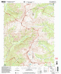
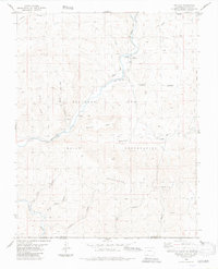
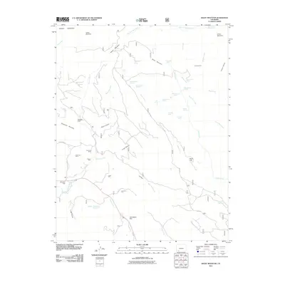
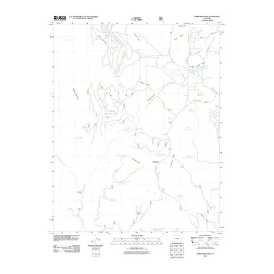
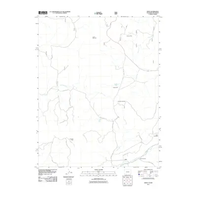
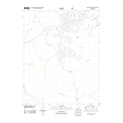
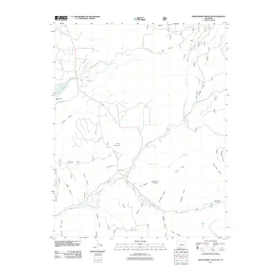
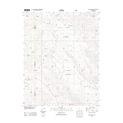
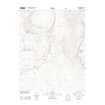
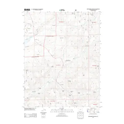
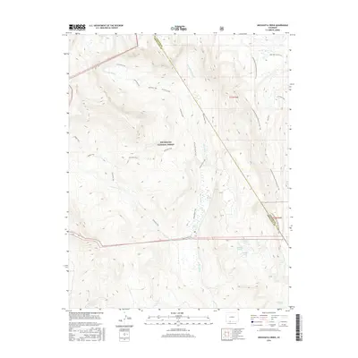
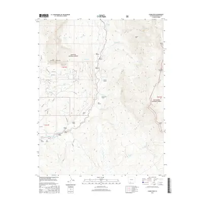
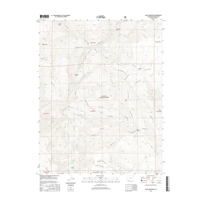
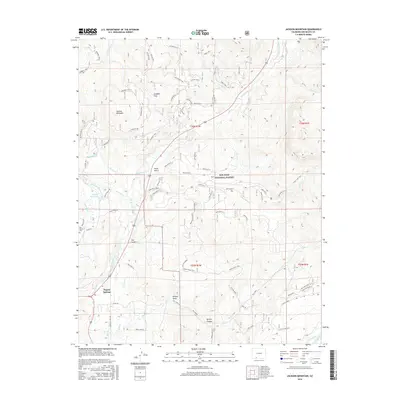
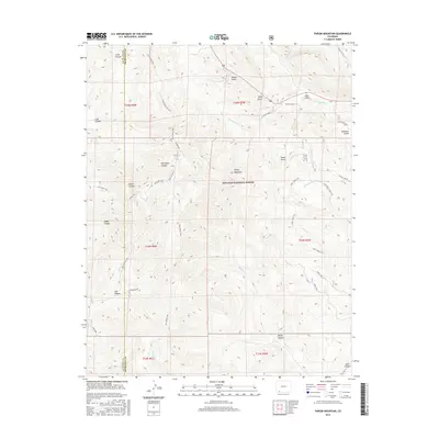
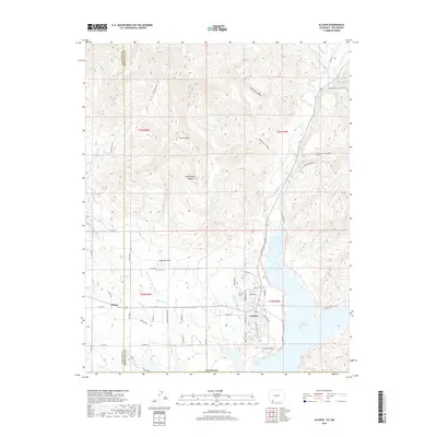
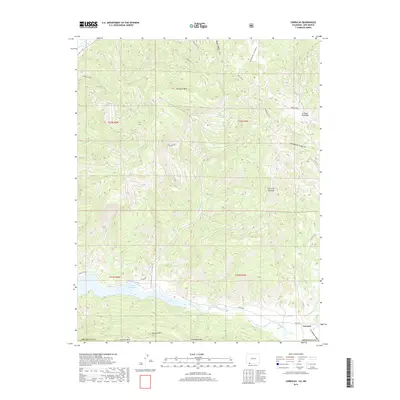
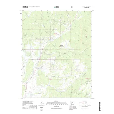
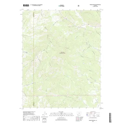
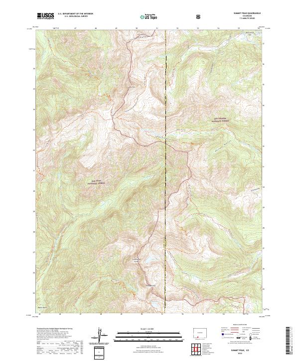
2001 Map of Summit Peak
USGS Topo · Published 2005About this map
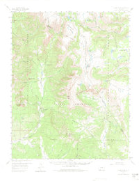
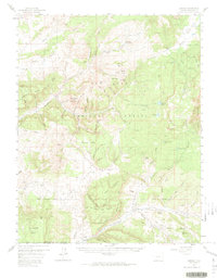
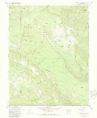
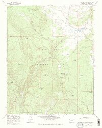
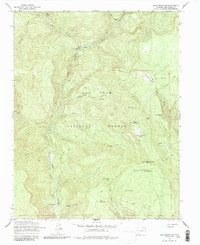
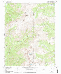
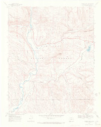
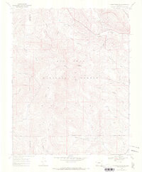
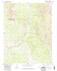
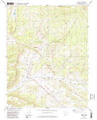
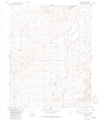
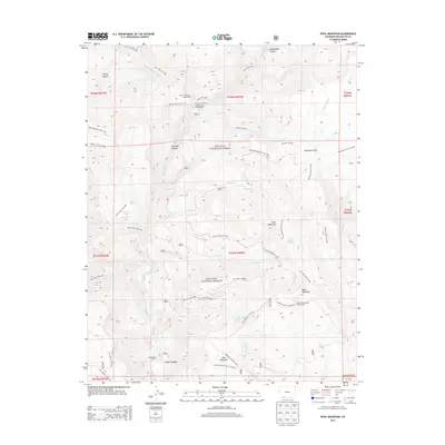
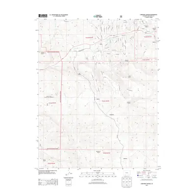
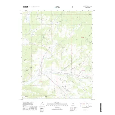
The Continental Divide serves as the literal and figurative spine of this high-altitude landscape, carving through the South San Juan Wilderness at the junction of Archuleta Co and Conejos Co. This 2001 revision, based on earlier topography, documents a region defined by its hydrography and alpine peaks, including Summit Peak and Montezuma Peak. To the east, the headwaters of the Conejos River split into the North Fork, Middle Fork, and South Fork, while the western slopes drain toward the Blanco Basin via the Rio Blanco and its tributaries. Human presence is marked by a network of high-country routes such as the Treasure Pass Trail and the Stock Driveway, illustrating the era's reliance on established mountain corridors for both recreation and agricultural transit through the Rio Grande National Forest.
Find a feature on this map
38 named features on this map. Tap any name to fly to it.
Don’t see what you’re looking for? This feature index may not catch every label — zoom into the map to look around manually.
Map Details
Editions of this 2001 Summit Peak Map
This is the sole edition of this map. No revisions or reprints were ever made.
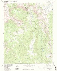
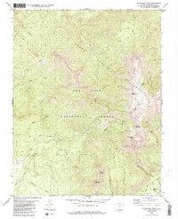
Historical Maps of Conejos County Through Time
134 maps found

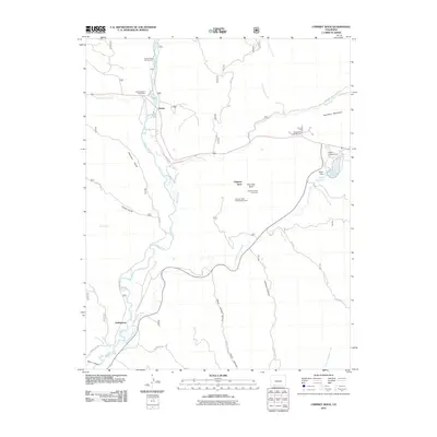
1913 Summitville
Archuleta County, CO
1915 Summitville
Archuleta County, CO
1954 Allison
Archuleta County, CO
1954 Carracas
Archuleta County, CO
1957 Chama Peak
Archuleta County, CO
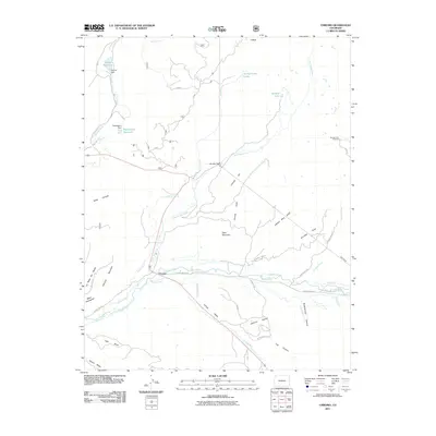
1957 Chromo
Archuleta County, CO
1957 Pagosa Junction
Archuleta County, CO
1957 Wolf Creek Pass
Archuleta County, CO
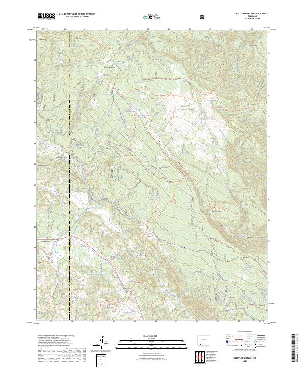
1964 Baldy Mountain
Archuleta County, CO
1964 Chris Mountain
Archuleta County, CO
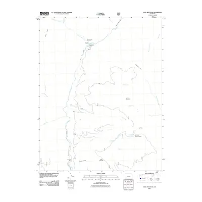
1964 Devil Mountain
Archuleta County, CO
1966 Summit Peak
Archuleta County, CO
1968 Chimney Rock
Archuleta County, CO
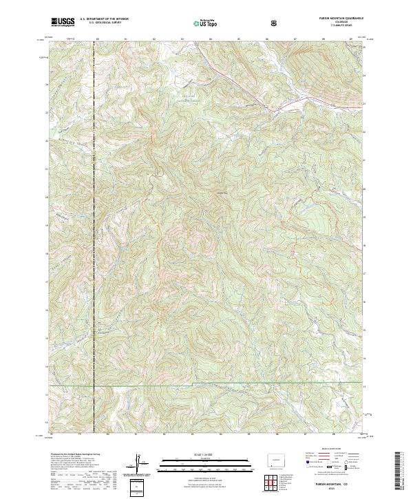
1968 Pargin Mountain
Archuleta County, CO
1984 Archuleta Creek
Archuleta County, CO
1984 Blackhead Peak
Archuleta County, CO
1984 Chama Peak
Archuleta County, CO
1984 Chromo
Archuleta County, CO
1984 Edith
Archuleta County, CO
1984 Elephant Head Rock
Archuleta County, CO
1984 Harris Lake
Archuleta County, CO
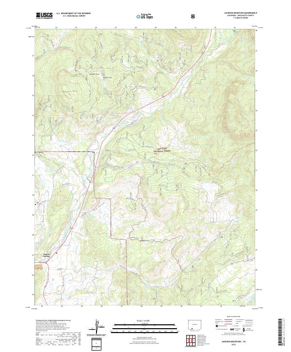
1984 Jackson Mountain
Archuleta County, CO

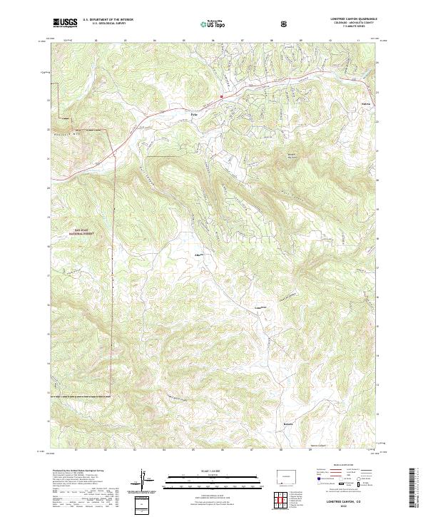
1984 Lonetree Canyon
Archuleta County, CO

1984 Oak Brush Hill
Archuleta County, CO
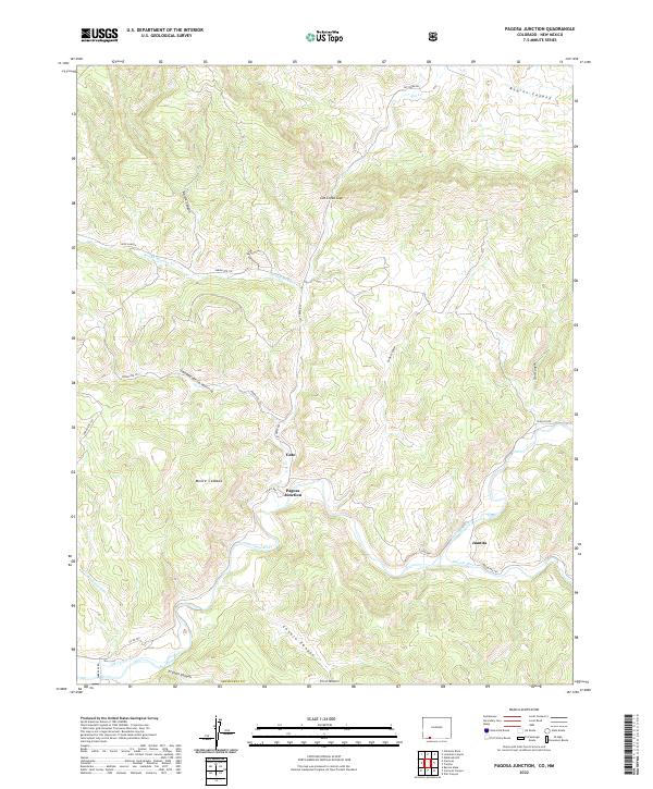
1984 Pagosa Junction
Archuleta County, CO
1984 Serviceberry Mountain
Archuleta County, CO
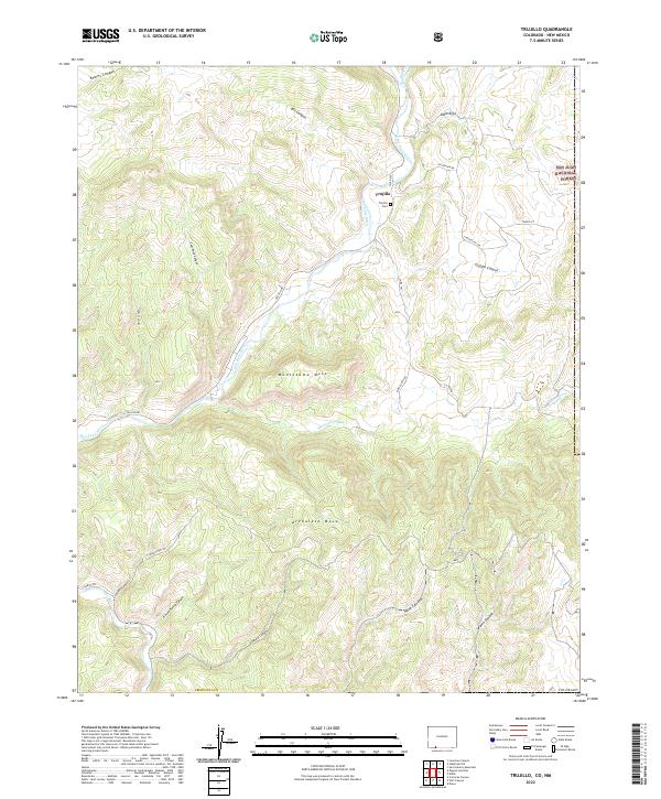
1984 Trujillo
Archuleta County, CO
2001 Archuleta Creek
Archuleta County, CO
2001 Summit Peak
Archuleta County, CO
2010 Allison
Archuleta County, CO
2011 Archuleta Creek
Archuleta County, CO
2011 Baldy Mountain
Archuleta County, CO
2011 Blackhead Peak
Archuleta County, CO
2011 Carracas
Archuleta County, CO
2011 Chama Peak
Archuleta County, CO
2011 Chimney Rock
Archuleta County, CO
2011 Chris Mountain
Archuleta County, CO
2011 Chromo
Archuleta County, CO
2011 Devil Mountain
Archuleta County, CO
2011 Edith
Archuleta County, CO
2011 Elephant Head Rock
Archuleta County, CO
2011 Harris Lake
Archuleta County, CO
2011 Jackson Mountain
Archuleta County, CO
2011 Lonetree Canyon
Archuleta County, CO
2011 Oakbrush Hill
Archuleta County, CO
2011 Pagosa Junction
Archuleta County, CO
2011 Pargin Mountain
Archuleta County, CO
2011 Serviceberry Mountain
Archuleta County, CO
2011 Summit Peak
Archuleta County, CO
2011 Trujillo
Archuleta County, CO
2013 Allison
Archuleta County, CO
2013 Archuleta Creek
Archuleta County, CO
2013 Baldy Mountain
Archuleta County, CO
2013 Blackhead Peak
Archuleta County, CO
2013 Carracas
Archuleta County, CO
2013 Chama Peak
Archuleta County, CO
2013 Chimney Rock
Archuleta County, CO
2013 Chris Mountain
Archuleta County, CO
2013 Chromo
Archuleta County, CO
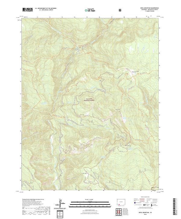
2013 Devil Mountain
Archuleta County, CO

2013 Edith
Archuleta County, CO
2013 Elephant Head Rock
Archuleta County, CO
2013 Harris Lake
Archuleta County, CO
2013 Jackson Mountain
Archuleta County, CO
2013 Lonetree Canyon
Archuleta County, CO
2013 Oakbrush Hill
Archuleta County, CO
2013 Pagosa Junction
Archuleta County, CO
2013 Pargin Mountain
Archuleta County, CO
2013 Serviceberry Mountain
Archuleta County, CO
2013 Summit Peak
Archuleta County, CO
2013 Trujillo
Archuleta County, CO
2016 Allison
Archuleta County, CO
2016 Archuleta Creek
Archuleta County, CO
2016 Baldy Mountain
Archuleta County, CO
2016 Blackhead Peak
Archuleta County, CO
2016 Carracas
Archuleta County, CO
2016 Chama Peak
Archuleta County, CO
2016 Chimney Rock
Archuleta County, CO
2016 Chris Mountain
Archuleta County, CO
2016 Chromo
Archuleta County, CO
2016 Devil Mountain
Archuleta County, CO
2016 Edith
Archuleta County, CO
2016 Elephant Head Rock
Archuleta County, CO
2016 Harris Lake
Archuleta County, CO
2016 Jackson Mountain
Archuleta County, CO
2016 Lonetree Canyon
Archuleta County, CO
2016 Oakbrush Hill
Archuleta County, CO
2016 Pagosa Junction
Archuleta County, CO
2016 Pargin Mountain
Archuleta County, CO
2016 Serviceberry Mountain
Archuleta County, CO
2016 Summit Peak
Archuleta County, CO
2016 Trujillo
Archuleta County, CO
2019 Allison
Archuleta County, CO
2019 Archuleta Creek
Archuleta County, CO
2019 Baldy Mountain
Archuleta County, CO
2019 Blackhead Peak
Archuleta County, CO
2019 Carracas
Archuleta County, CO
2019 Chama Peak
Archuleta County, CO
2019 Chimney Rock
Archuleta County, CO
2019 Chris Mountain
Archuleta County, CO
2019 Chromo
Archuleta County, CO
2019 Devil Mountain
Archuleta County, CO

2019 Edith
Archuleta County, CO
2019 Elephant Head Rock
Archuleta County, CO
2019 Harris Lake
Archuleta County, CO
2019 Jackson Mountain
Archuleta County, CO
2019 Lonetree Canyon
Archuleta County, CO
2019 Oakbrush Hill
Archuleta County, CO
2019 Pagosa Junction
Archuleta County, CO
2019 Pargin Mountain
Archuleta County, CO
2019 Serviceberry Mountain
Archuleta County, CO
2019 Summit Peak
Archuleta County, CO
2019 Trujillo
Archuleta County, CO
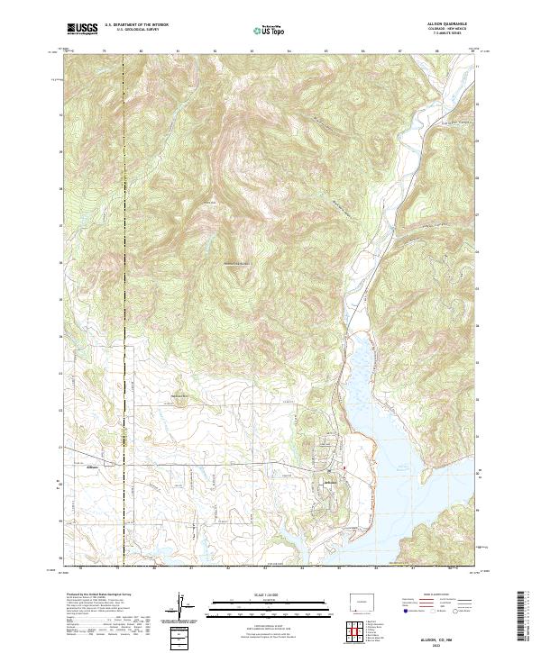
2022 Allison
Archuleta County, CO
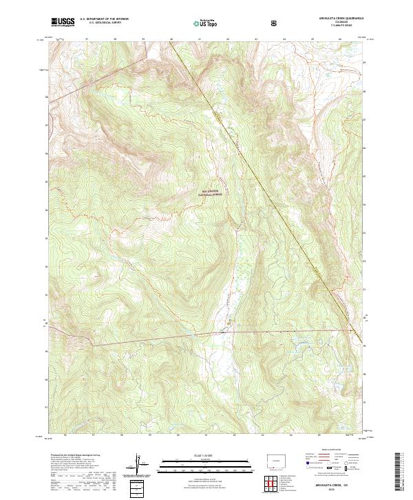
2022 Archuleta Creek
Archuleta County, CO
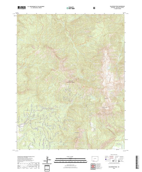
2022 Blackhead Peak
Archuleta County, CO
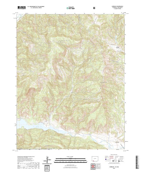
2022 Carracas
Archuleta County, CO
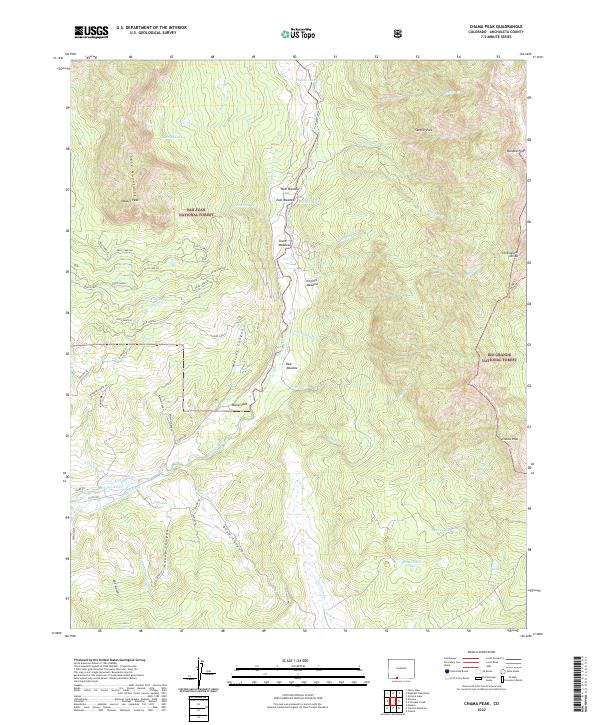
2022 Chama Peak
Archuleta County, CO
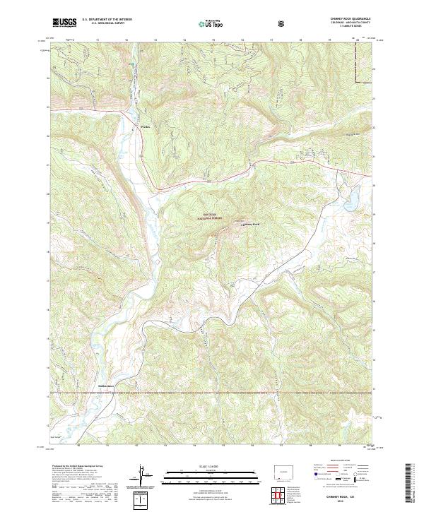
2022 Chimney Rock
Archuleta County, CO
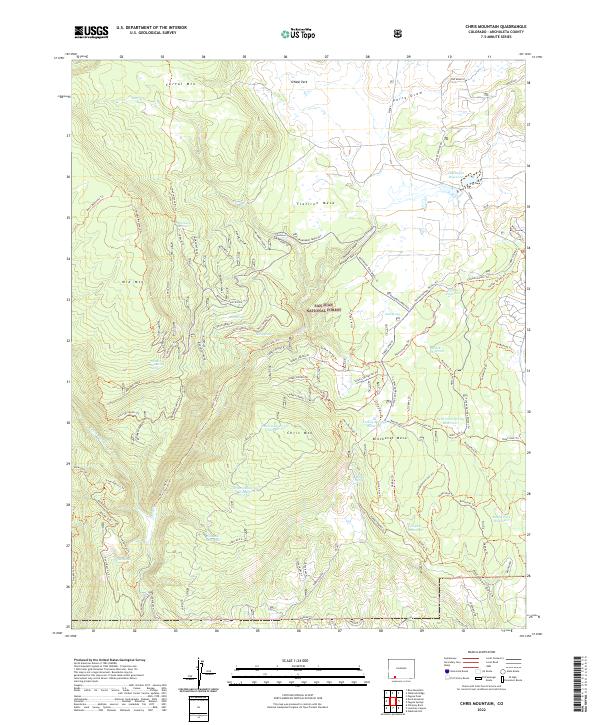
2022 Chris Mountain
Archuleta County, CO
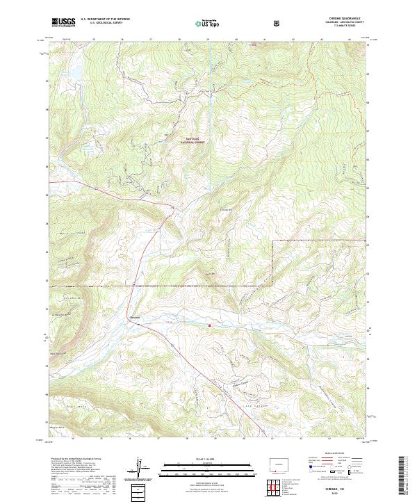
2022 Chromo
Archuleta County, CO
2022 Devil Mountain
Archuleta County, CO
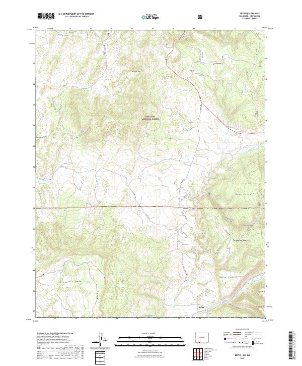
2022 Edith
Archuleta County, CO
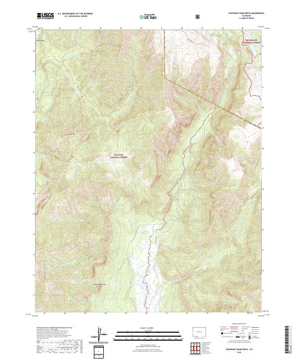
2022 Elephant Head Rock
Archuleta County, CO
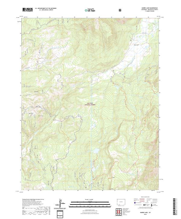
2022 Harris Lake
Archuleta County, CO
2022 Jackson Mountain
Archuleta County, CO
2022 Lonetree Canyon
Archuleta County, CO
2022 Pagosa Junction
Archuleta County, CO
2022 Summit Peak
Archuleta County, CO
2022 Trujillo
Archuleta County, CO
2023 Baldy Mountain
Archuleta County, CO
2023 Oakbrush Hill
Archuleta County, CO
2023 Pargin Mountain
Archuleta County, CO
2023 Serviceberry Mountain
Archuleta County, CO