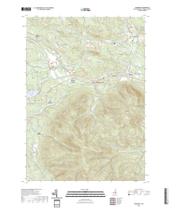
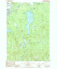
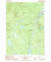
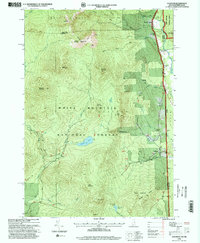
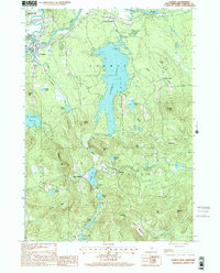
2024 Map of Tamworth
USGS Topo · Published 2024About this map
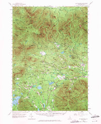
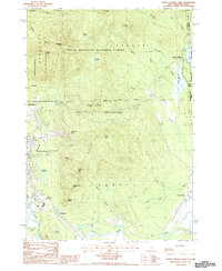
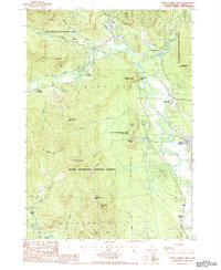
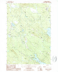
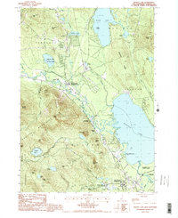
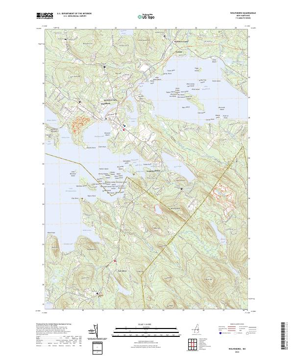
Tamworth and its surrounding villages sit at a geographical intersection where the southern slopes of the Ossipee Mountains meet the river-carved lowlands. The area's settlement pattern is defined by the Bearcamp River and its tributaries, which connect the small clusters of South Tamworth, Whittier, and Bennett Corners. This 2024 survey documents the persistence of long-established family and community sites, from East Sandwich in the west to the historic core of Tamworth. Significant genealogical resources are scattered throughout the landscape, including the North Sandwich Friends Cem, Ordination Rock Cem, and several smaller burial grounds like Chase Cem and Hubbard Cem. The terrain is characterized by prominent peaks such as Black Snout Mtn and Larcom Mtn, overlooking a network of local routes like Durgin Bridge Rd and Stevenson Hill Rd that follow the natural contours of the valley.
Find a feature on this map
104 named features on this map. Tap any name to fly to it.
Don’t see what you’re looking for? This feature index may not catch every label — zoom into the map to look around manually.
Map Details
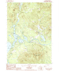
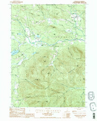
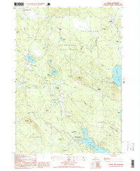
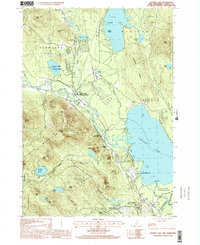
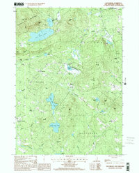
Editions of this 2024 Tamworth Map
This is the sole edition of this map. No revisions or reprints were ever made.
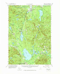
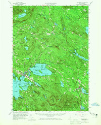
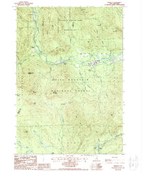
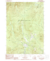
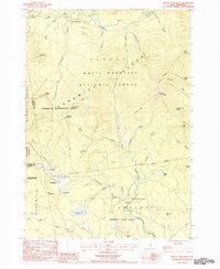
Historical Maps of Ossipee Through Time
46 maps found
1928 Wolfeboro
Carroll County, NH
1930 Ossipee Lake
Carroll County, NH
1931 Mt. Chocorua
Carroll County, NH
1958 Mt. Chocorua
Carroll County, NH
1958 Ossipee Lake
Carroll County, NH
1958 Wolfeboro
Carroll County, NH
1987 Bartlett
Carroll County, NH

1987 Chatham
Carroll County, NH
1987 Conway
Carroll County, NH
1987 Freedom
Carroll County, NH
1987 Jackson
Carroll County, NH
1987 Mount Chocorua
Carroll County, NH
1987 North Conway East
Carroll County, NH
1987 North Conway West
Carroll County, NH
1987 Ossipee
Carroll County, NH
1987 Ossipee Lake
Carroll County, NH
1987 Silver Lake
Carroll County, NH
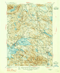
1987 Tamworth
Carroll County, NH
1987 Tuftonboro
Carroll County, NH
1987 Wolfeboro
Carroll County, NH

1995 Bartlett
Carroll County, NH
1995 Chatham
Carroll County, NH
1995 Jackson
Carroll County, NH

1995 Mount Chocorua
Carroll County, NH

1995 North Conway East
Carroll County, NH
1995 North Conway West
Carroll County, NH
1995 Silver Lake
Carroll County, NH
1998 Conway
Carroll County, NH
1998 Ossipee
Carroll County, NH
1998 Ossipee Lake
Carroll County, NH

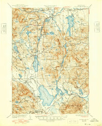
1998 Tamworth
Carroll County, NH
2000 Tuftonboro
Carroll County, NH
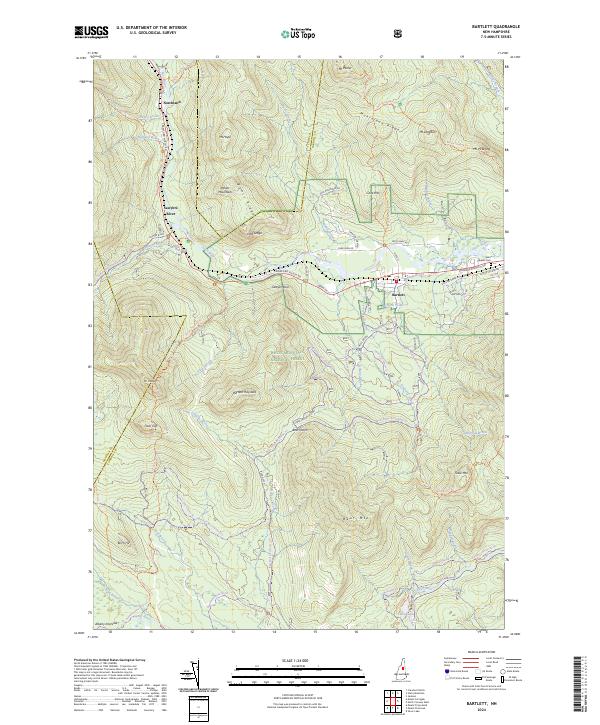
2024 Bartlett
Carroll County, NH
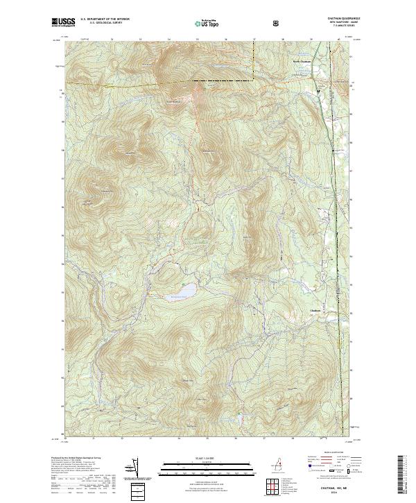
2024 Chatham
Carroll County, NH
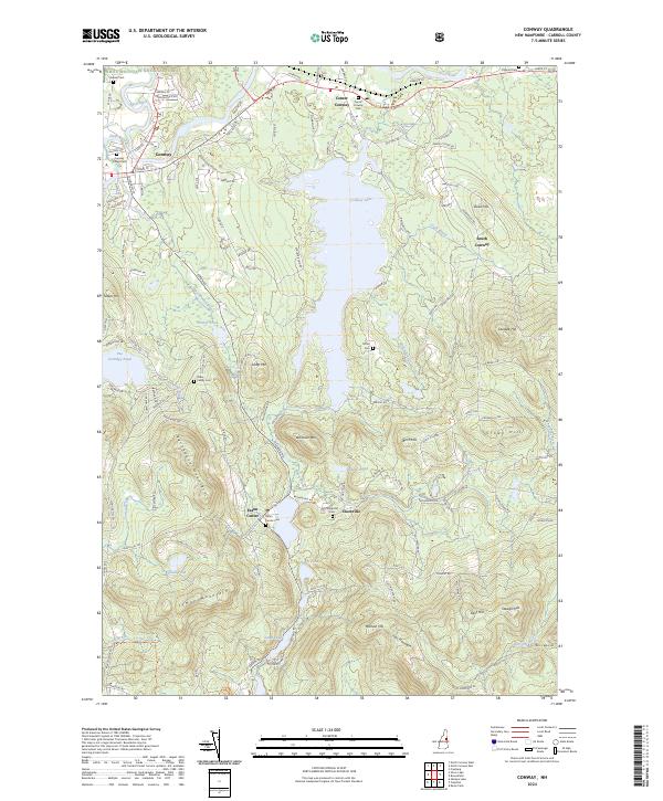
2024 Conway
Carroll County, NH
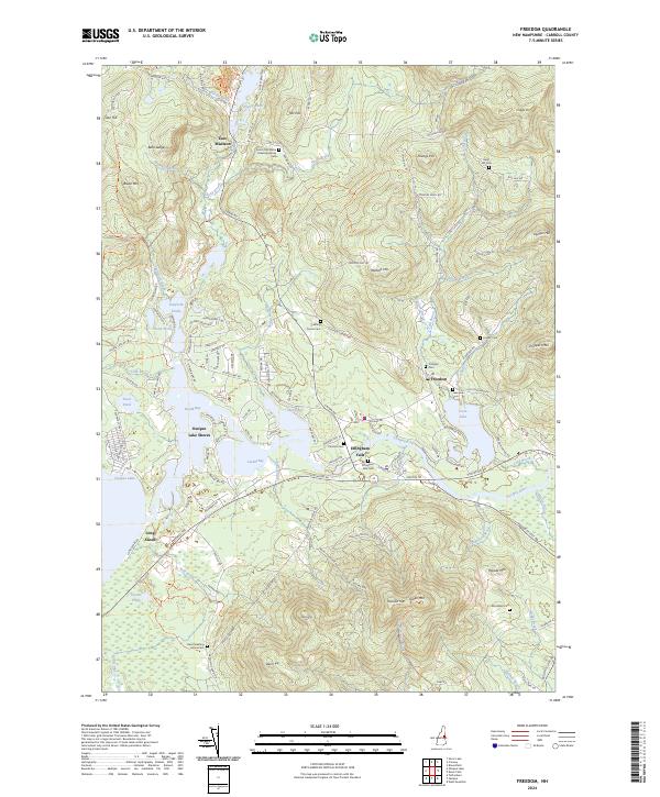
2024 Freedom
Carroll County, NH
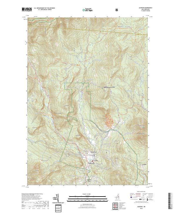
2024 Jackson
Carroll County, NH
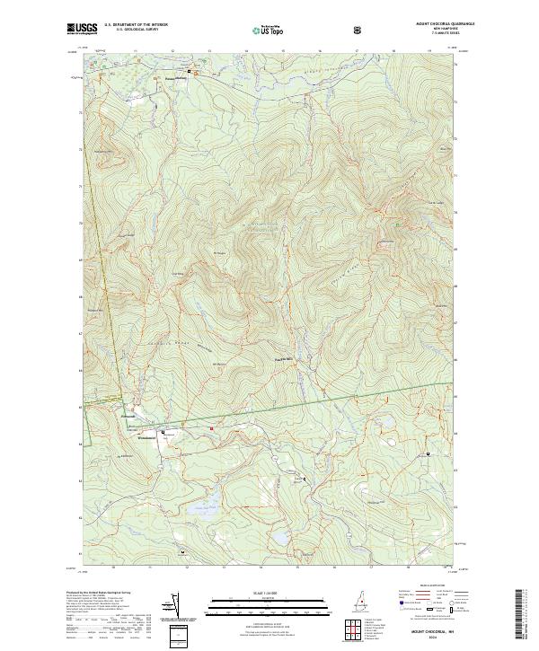
2024 Mount Chocorua
Carroll County, NH
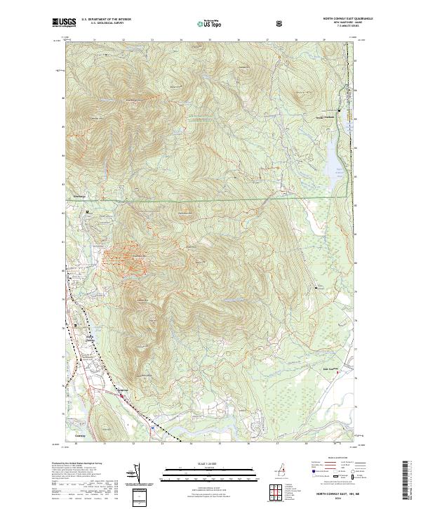
2024 North Conway East
Carroll County, NH
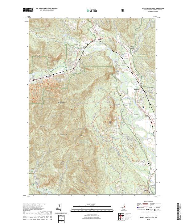
2024 North Conway West
Carroll County, NH
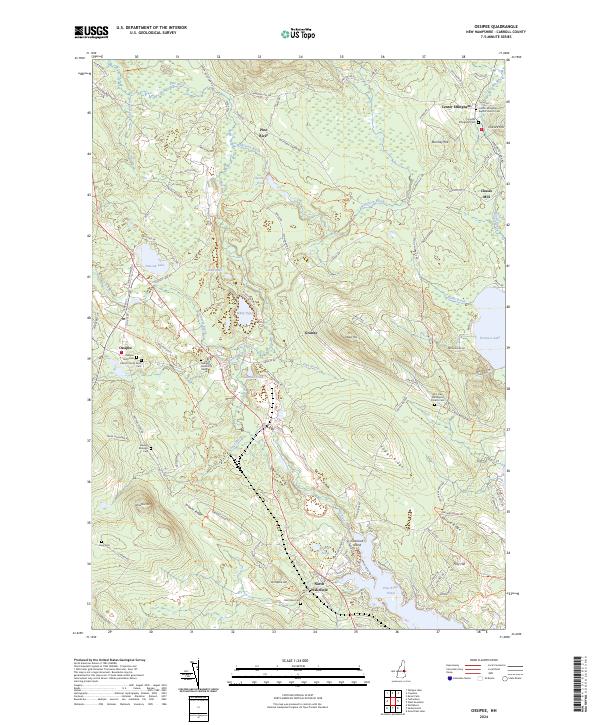
2024 Ossipee
Carroll County, NH
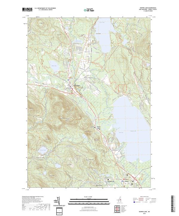
2024 Ossipee Lake
Carroll County, NH
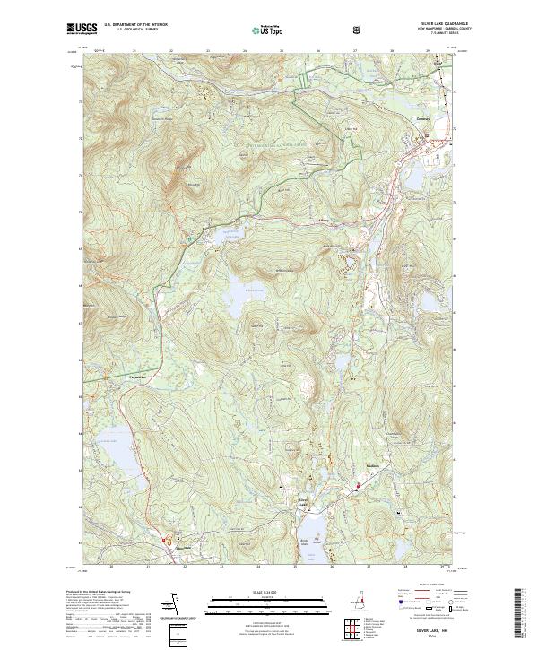
2024 Silver Lake
Carroll County, NH
2024 Tamworth
Carroll County, NH
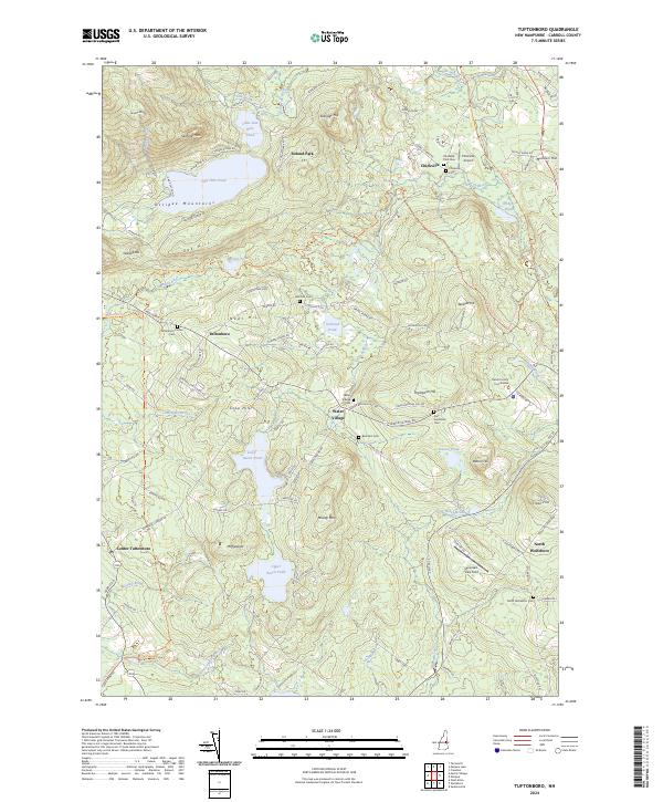
2024 Tuftonboro
Carroll County, NH
2024 Wolfeboro
Carroll County, NH