
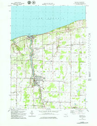
2023 Map of Tonawanda East
USGS Topo · Published 2023About this map
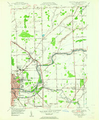
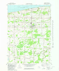
Tonawanda Creek serves as a defining boundary line between Niagara and Erie Counties in this recent survey. The landscape is characterized by its transition from the suburban density of North Tonawanda and Wurlitzer Park Village in the west to the more open reaches of Pendleton Center and Beach Ridge in the northeast. This area maintains a high concentration of established community institutions, including numerous Lutheran cemeteries such as Saint Martins Lutheran Church Cem and Saint Matthew Lutheran Cem.
Find a feature on this map
260 named features on this map. Tap any name to fly to it.
Don’t see what you’re looking for? This feature index may not catch every label — zoom into the map to look around manually.
Map Details
Editions of this 2023 Tonawanda East Map
This is the sole edition of this map. No revisions or reprints were ever made.
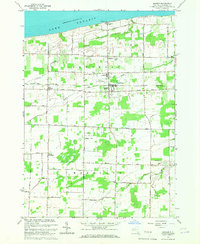
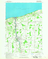
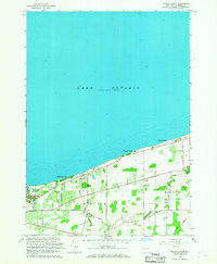
Historical Maps of Mapleton Through Time
46 maps found
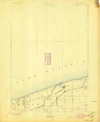
1894 Wilson
Niagara County, NY
1899 Niagara
Niagara County, NY
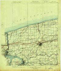
1900 Wilson
Niagara County, NY

1948 Tonawanda West
Niagara County, NY

1948 Wilson
Niagara County, NY

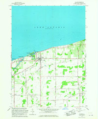
1949 Barker
Niagara County, NY

1949 Cambria
Niagara County, NY

1949 Sixmile Creek
Niagara County, NY
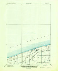
1949 Wilson
Niagara County, NY

1950 Ft Niagara
Niagara County, NY

1950 Lewiston
Niagara County, NY

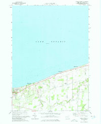
1950 Newfane
Niagara County, NY
1950 Tonawanda East
Niagara County, NY

1950 Tonawanda West
Niagara County, NY

1952 Toronto
Niagara County, NY

1954 Tonawanda West
Niagara County, NY

1962 Toronto
Niagara County, NY
1965 Barker
Niagara County, NY

1965 Cambria
Niagara County, NY

1965 Ft Niagara
Niagara County, NY

1965 Lewiston
Niagara County, NY
1965 Newfane
Niagara County, NY
1965 Sixmile Creek
Niagara County, NY

1965 Tonawanda East
Niagara County, NY

1965 Tonawanda West
Niagara County, NY

1965 Toronto
Niagara County, NY
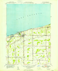
1965 Wilson
Niagara County, NY
1973 Sixmile Creek
Niagara County, NY
1974 Sixmile Creek
Niagara County, NY
1978 Newfane
Niagara County, NY
1980 Barker
Niagara County, NY

1980 Cambria
Niagara County, NY

1980 Ft Niagara
Niagara County, NY

1980 Lewiston
Niagara County, NY

1980 Tonawanda East
Niagara County, NY

1980 Tonawanda West
Niagara County, NY

2023 Barker
Niagara County, NY

2023 Cambria
Niagara County, NY

2023 Fort Niagara
Niagara County, NY

2023 Lewiston
Niagara County, NY
2023 Lyndonville OE N
Niagara County, NY

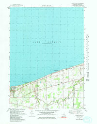
2023 Newfane
Niagara County, NY

2023 Sixmile Creek
Niagara County, NY
2023 Tonawanda East
Niagara County, NY

2023 Tonawanda West
Niagara County, NY

2023 Wilson
Niagara County, NY