2000s (21st Century) Maps of Wyoming
Explore 7,783 historic maps of Wyoming from the 2000s (21st Century). These maps offer a rare glimpse into what life looked like during the 2000s — showing old roads, neighborhoods, homes, and landmarks that have changed or disappeared over time.
Whether you're researching your family's past, planning a metal detecting trip, or studying how Wyoming's landscape evolved across the 2000s, these high-resolution maps are a powerful tool for exploring the history of this region.
- Focus on a specific era: All maps on this page are from the 2000s, giving you a focused view of this time period.
- See what’s changed: Compare century-old streets, trails, and buildings to today's modern landscape using overlays and satellite layers.
- Research with precision: Use these maps for genealogy, historical research, land use analysis, or educational projects.
- View, download, or print: Maps are fully viewable online in high resolution, and can be downloaded or printed for your own records.
Start exploring Wyoming's history through authentic maps from the 2000s. This is your window into the past.
Wyoming maps
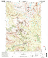
(7,783)- 2000 Map of Northgate, 2004 Print
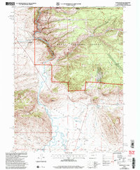 2000 Northgate2004 Print · USGSJackson County ranching and mining operations are captured here at the turn of the millennium near the Wyoming border. Trace the water-rights history of the Canadian River and locate historic sites like Ginger Quill Ranch and the Fluorspar Mine.
 - 2000 Map of West Yellowstone, 2005 Print
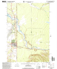 2000 West Yellowstone2005 Print · USGSThe gateway at West Yellowstone is captured here as it appeared at the turn of the century, showing the transition from town to wilderness. Researchers can trace the West Entrance and local infrastructure like the Yellowstone Airport and the Park Service Ranger Station.
 - 2000 Map of Buffalo Lake NE, 2005 Print
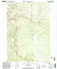 2000 Buffalo Lake NE2005 Print · USGSThe high wilderness where Idaho, Montana, and Wyoming meet is captured here at the turn of the millennium. Trace the Continental Divide as it cuts between Yellowstone National Park and the canyons of Moose Creek.
 - 2000 Map of Fossil Lake, 2005 Print
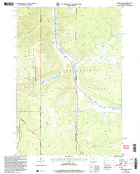
 2000 Fossil Lake2005 Print · USGSThe high Beartooth plateau at the Montana-Wyoming border is captured here at the turn of the century. Trace wilderness history through remote landmarks like the Kersey Lake Cabin, the Chief Joseph site, and high-country peaks such as Mount Rosebud.
 - 2000 Map of Sportsman Lake, 2005 Print
 2000 Sportsman Lake2005 Print · USGSThe wilderness boundary between Montana and Wyoming comes to life on this map of the Gallatin high country at the turn of the century. Trace remote backcountry routes like the High Lake Trail to find landmarks such as the Sportsman Patrol Cabin and Horse Falls.
 - 2000 Map of Big Horn Peak, 2005 Print
 2000 Big Horn Peak2005 Print · USGSThe Montana-Wyoming border comes alive in the early 2000s, where the Gallatin and Yellowstone wilderness areas meet. Trace high-altitude trails and landmarks like Big Horn Peak, the Gallatin Petrified Forest, and Black Butte Ranch.
 - 2000 Map of Electric Peak, 2005 Print
 2000 Electric Peak2005 Print · USGSThe Montana-Wyoming borderlands at the turn of the century show a unique transition from industrial mining to wilderness preservation. Genealogists and researchers can trace the coal-related remains at Aldridge and Horr, or locate landmarks like the Devils Slide and Electric Peak.
 - 2000 Map of Jack Straw Basin, 2005 Print
 2000 Jack Straw Basin2005 Print · USGSThe Montana and Wyoming borderlands are captured here at the turn of the millennium, showing where federal forest and park lands converge. Trace the rugged terrain of the Moose Creek Plateau and find the remote South Riverside Cabin tucked near Echo Canyon.
 - 2000 Map of Roundhead Butte, 2005 Print
 2000 Roundhead Butte2005 Print · USGSThe Montana-Wyoming borderlands at the turn of the millennium remain a high wilderness of creek drainages and remote outposts. Trace the isolated Silver Tip Ranch and the Slough Creek Trail as they lead toward the Frenchy's Grave Historic Site.
 - 2000 Map of Divide Lake, 2005 Print
 2000 Divide Lake2005 Print · USGSThe Montana and Wyoming borderlands come alive in this late-century survey of the high country surrounding Divide Lake. Researchers can trace the complex boundaries of Yellowstone National Park and the Lee Metcalf Wilderness along the upper Gallatin River.
 - 2000 Map of Richards Creek, 2005 Print
 2000 Richards Creek2005 Print · USGSThe Montana-Wyoming border comes alive in the late nineties, where the high-country drainages of Grayling Creek and Richards Creek meet. Local researchers can trace the quiet markers of the land, from a lonely Cem to landmarks like Sandy Butte and the Hebgen Lake Area Day Use Area.
 - 2000 Map of Hummingbird Peak, 2005 Print
 2000 Hummingbird Peak2005 Print · USGSThe Montana-Wyoming border comes alive in the late nineties, showing the intersection of Yellowstone and the Gallatin National Forest. Trace remote backcountry routes like Poacher Trail and find the isolated Buffalo Plateau Patrol Cabin near Buffalo Butte.
 - 2000 Map of Cooke City, 2005 Print
 2000 Cooke City2005 Print · USGSMining history and high-mountain wilderness meet in this turn-of-the-century survey of the Beartooth Range. Researchers can trace alpine mineral exploration near Scotch Bonnet Mountain and locate the local Cem or the Cooke City Amphitheater.
 - 2000 Map of Cutoff Mountain, 2005 Print
 2000 Cutoff Mountain2005 Print · USGSThe Montana-Wyoming border comes alive at the turn of the millennium in this survey of the high wilderness. Backcountry explorers and historians can trace the Pebble Creek Trail and locate the Northeast Entrance Cooke Ranger Station near Cutoff Mountain.
 - 2010 Map of Carr West, 2010 Print
 2010 Carr West2010 Print · USGSCovers Wyoming, including Carr, Larimer County, and other nearby areas
 - 2010 Map of Poison Basin, 2010 Print
 2010 Poison Basin2010 Print · USGSCovers Wyoming, including Carbon County, Moffat County, and other nearby areas
 - 2010 Map of Savery, 2010 Print
 2010 Savery2010 Print · USGSCovers Wyoming, including Savery, Carbon County, and other nearby areas
 - 2010 Map of Dixon, 2010 Print
 2010 Dixon2010 Print · USGSCovers Wyoming, including Dixon, Carbon County, and other nearby areas
 - 2010 Map of Table Mountain, 2010 Print
 2010 Table Mountain2010 Print · USGSCovers Wyoming, including Larimer County, Laramie County, and other nearby areas
 - 2010 Map of Round Butte, 2010 Print
 2010 Round Butte2010 Print · USGSCovers Wyoming, including Larimer County, Laramie County, and other nearby areas
 - 2010 Map of Powder Wash, 2010 Print
 2010 Powder Wash2010 Print · USGSCovers Wyoming, including Powder Wash, Sweetwater County, and other nearby areas
 - 2010 Map of Coffeepot Spring, 2010 Print
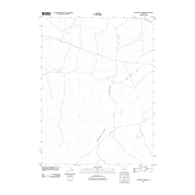 2010 Coffeepot Spring2010 Print · USGSCovers Wyoming, including Sweetwater County, Moffat County, and other nearby areas
 - 2010 Map of Campstool, 2010 Print
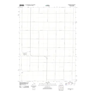
 2010 Campstool2010 Print · USGSCovers Wyoming, including Weld County, Laramie County, and other nearby areas
 - 2010 Map of Carpenter, 2010 Print
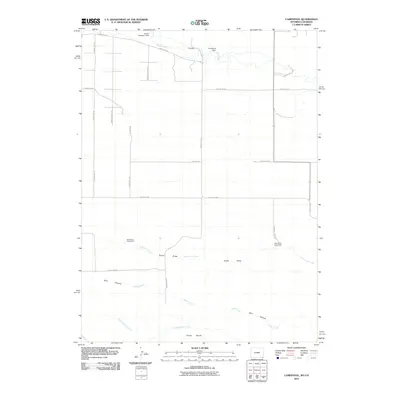
 2010 Carpenter2010 Print · USGSCovers Wyoming, including Carpenter, Weld County, and other nearby areas
 - 2010 Map of Scrivner Butte, 2010 Print
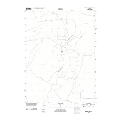
 2010 Scrivner Butte2010 Print · USGSCovers Wyoming, including Sweetwater County, Moffat County, and other nearby areas
Showing maps 1-25 of 7,783
Top cities of Wyoming
- Cheyenne historical maps
- Casper historical maps
- Laramie historical maps
- Gillette historical maps
- Rock Springs historical maps
- Sheridan historical maps
See more
Top counties of Wyoming
- Laramie County historical maps
- Natrona County historical maps
- Campbell County historical maps
- Sweetwater County historical maps
- Fremont County historical maps
- Albany County historical maps
See more
Frequently asked questions
- What are the different types of historical maps available for Wyoming?
- What is the oldest map of Wyoming?
- Where can I purchase historical maps of Wyoming for my home or office?
- Where can I download high-res historical maps of Wyoming?
- Are there historical topographic maps available for Wyoming?
- Is there historical aerial imagery available for Wyoming?
- Where are historical maps of Wyoming sourced from?