2020s Maps of Wyoming
Explore 2,025 historic maps of Wyoming from the 2020s. These maps offer a rare glimpse into what life looked like during the 2020s — showing old roads, neighborhoods, homes, and landmarks that have changed or disappeared over time.
Whether you're researching your family's past, planning a metal detecting trip, or studying how Wyoming's landscape evolved across the 2020s, these high-resolution maps are a powerful tool for exploring the history of this region.
- Focus on a specific era: All maps on this page are from the 2020s, giving you a focused view of this time period.
- See what’s changed: Compare century-old streets, trails, and buildings to today's modern landscape using overlays and satellite layers.
- Research with precision: Use these maps for genealogy, historical research, land use analysis, or educational projects.
- View, download, or print: Maps are fully viewable online in high resolution, and can be downloaded or printed for your own records.
Start exploring Wyoming's history through authentic maps from the 2020s. This is your window into the past.
Wyoming maps
- 2020 Map of Porcupine Ridge, 2020 Print
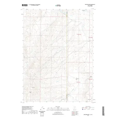 2020 Porcupine Ridge2020 Print · USGSSummit County, Utah and Uinta County, Wyoming are mapped here at the start of the 2020s, showing the high-elevation drainage divide at the state line. Trace the remote topography of Porcupine Ridge and the network of waterways including Chicken Cr and Basin Cr.
 - 2020 Map of South Lake, 2020 Print
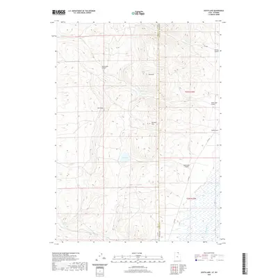 2020 South Lake2020 Print · USGSThe high desert borderlands between Utah and Wyoming are captured here in the recent past, showing the remote drainages of the Bear River basin. Researchers can trace the rugged topography of Lake Ridge and locate vital water sources like Stirrup Spring and South Lake.
 - 2020 Map of Wahsatch, 2020 Print
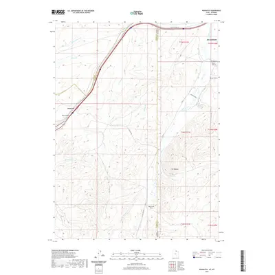 2020 Wahsatch2020 Print · USGSThe high mountain pass at the Utah-Wyoming border comes into focus in this recent survey. Local historians can trace the route of the Lincoln Highway 30 and locate family ranching landmarks near Sulphur Hollow and The Needles.
 - 2020 Map of Rex Peak, 2020 Print
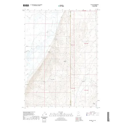 2020 Rex Peak2020 Print · USGSThe high desert borderlands where Utah and Wyoming meet were a focal point for early water engineering. Trace the legacy of historic ranching through irrigation works like the Rex Canal and landmarks such as the Crawford Mountains and Rex Peak.
 - 2020 Map of Neponset Reservoir NE, 2020 Print
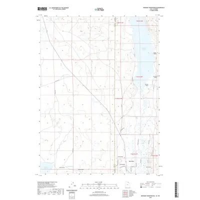 2020 Neponset Reservoir NE2020 Print · USGSThe high valley along the Utah-Wyoming border is captured here during the early twenty-first century, showing a landscape shaped by water and ranching. Researchers can trace land use through features like Murphy Ridge, the Chapman Canal, and Woodruff Narrows Reservoir.
 - 2020 Map of Murphy Ridge, 2020 Print
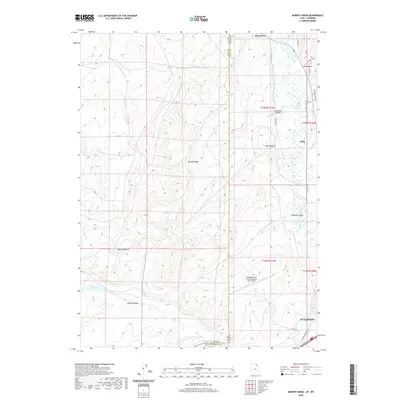 2020 Murphy Ridge2020 Print · USGSThe high desert landscape north of Evanston comes into focus in this recent survey, showcasing the area's complex water and transport systems. Genealogists and researchers can trace the historic Lincoln Highway and locate the Almy Cem near the riverbanks of the Bear River.
 - 2020 Map of Red Hole, 2020 Print
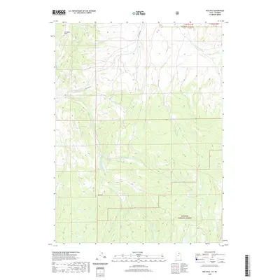 2020 Red Hole2020 Print · USGSHigh mountain terrain at the junction of Utah and Wyoming is documented here in the early twenty-first century. Researchers can trace the headwaters of Chalk Creek and find landmarks such as Red Hole, Joyce Lake, and the extensive Porcupine Ridge.
 - 2020 Map of Phil Pico Mountain, 2020 Print
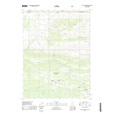 2020 Phil Pico Mountain2020 Print · USGSHigh-country terrain and early transportation routes define this border landscape between Utah and Wyoming. You can trace the historic Carter Military road as it climbs toward Phil Pico Mtn or locate regional water infrastructure at Long Park Reservoir and Sheep Cr Canal.
 - 2020 Map of Dutch John, 2020 Print
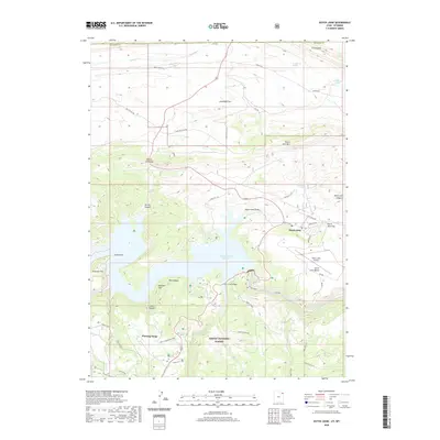 2020 Dutch John2020 Print · USGSDaggett County, Utah, is shown here as the local economy transitioned toward recreation and conservation in the early twenty-first century. Researchers can trace the layout of Dutch John and locate landmarks like the Swett Ranch, Cart Creek Bridge, and Cedar Spring.
 - 2020 Map of Flaming Gorge, 2020 Print
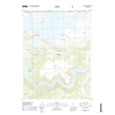 2020 Flaming Gorge2020 Print · USGSThe high desert meets the deep canyons of the Green River at the Wyoming and Utah border in this recent survey. Researchers can trace the shoreline of Flaming Gorge Reservoir and locate historic sites like Swett Ranch and Lucerne Valley.
 - 2020 Map of Manila, 2020 Print
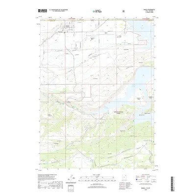 2020 Manila2020 Print · USGSThe high desert borderlands of Utah and Wyoming come into focus in this recent survey of the area surrounding Manila. Researchers can trace local landmarks like the Daggett County Court House, explore the shores of Flaming Gorge Reservoir, and locate high-altitude winter trails near Dowd Mtn.
 - 2020 Map of Jessen Butte, 2020 Print
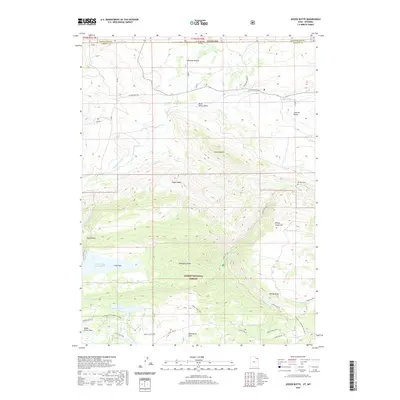 2020 Jessen Butte2020 Print · USGSThe high desert and mountain interface of the Wyoming-Utah border comes into focus in this recent survey. Local historians and researchers can trace the Carter Military route and locate specific landmarks like Dowds Grave and Sheep Creek Lake.
 - 2020 Map of Gilbert Peak NE, 2020 Print
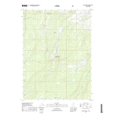 2020 Gilbert Peak NE2020 Print · USGSThe high Uinta wilderness comes into focus in this recent survey of the Utah-Wyoming borderlands. Researchers can trace the Bridger Lake Oil Field and seasonal routes like Mistake Road Atv Connect or the Henrys Fork Ski trail through Wasatch National Forest.
 - 2020 Map of Hole In The Rock, 2020 Print
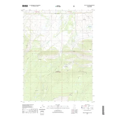 2020 Hole In The Rock2020 Print · USGSHigh in the forest along the Utah-Wyoming border in recent years, this landscape reflects a history of high-country grazing and early mining. Genealogists and historians can trace old forest routes and named meadows like Beaver Parks, Georges Park, and the area near Coal Mine Hill.
 - 2020 Map of Elizabeth Mountain, 2020 Print
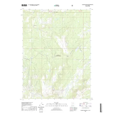 2020 Elizabeth Mountain2020 Print · USGSThe high Uinta wilderness comes into focus in this recent survey of the Utah-Wyoming border. Trace the remote network of Mill Creek Snowmobile trails and Trail Creek Atv routes as they traverse Elizabeth Pass and Table Top.
 - 2020 Map of Lyman Lake, 2020 Print
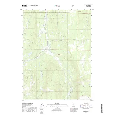 2020 Lyman Lake2020 Print · USGSThe Uinta Mountains of Summit County are shown here at the start of the 2020s, highlighting a landscape defined by glacial lakes and high-altitude drainage basins. Trace the complex headwaters of Blacks Fork or locate remote landmarks like Duck Lake, Bald Mountain, and the N Slope Highline trail.
 - 2020 Map of Seven Tree Flat, 2020 Print
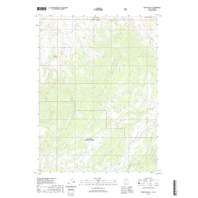 2020 Seven Tree Flat2020 Print · USGSThe high country of Summit County and Uinta County is captured here in the contemporary era. Researchers can trace the headwaters of the W Fork Bear River and the route of Whitney Rd through the Wasatch National Forest.
 - 2020 Map of Hoop Lake, 2020 Print
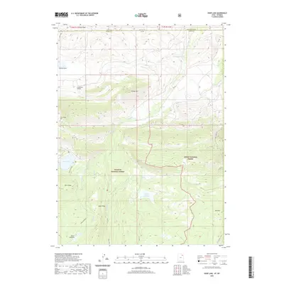 2020 Hoop Lake2020 Print · USGSThe high borderlands of Utah and Wyoming are captured here in the early twenty-first century. Researchers can trace the drainage of the Burnt Fork and identify historic topographic landmarks such as Coal Mine Hill, Hoop Lake, and Widdop Mtn.
 - 2020 Map of Deadman Mountain, 2020 Print
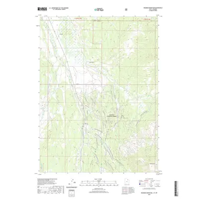 2020 Deadman Mountain2020 Print · USGSHigh in the High Uintas during the early twenty-first century, this area serves as a critical watershed and recreational hub. Map collectors and hikers can trace the paths around Deadman Mtn, the Hill Afb Camp Nature, and Lily Lake.
 - 2020 Map of Bridger Lake, 2020 Print
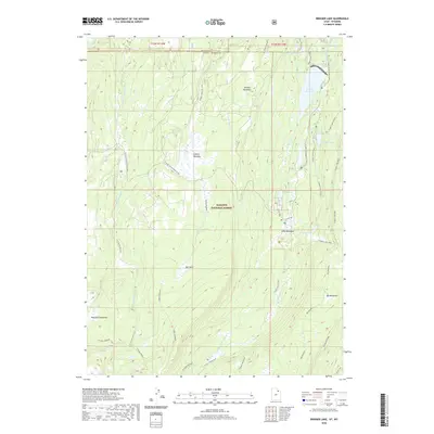 2020 Bridger Lake2020 Print · USGSThe high mountain borderlands of Summit County and Wyoming are shown here in the 2020s, dominated by the waters of the Stateline Reservoir. Trail riders and hikers can trace numerous routes like the Dead Horse Atv T and Sargent Lake Bike trail through Big Meadows and China Meadows.
 - 2020 Map of Boundary Ridge, 2020 Print
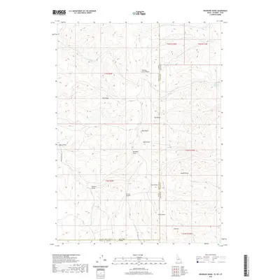 2020 Boundary Ridge2020 Print · USGSHigh desert ranching and the tri-state intersection of Idaho, Utah, and Wyoming define this recent survey of the Bear River Range foothills. Researchers can trace land use patterns through features like Humburg Ranch Rd, Poison Cr Reservoir, and Shearing Corral Hollow.
 - 2020 Map of Elk Valley, 2020 Print
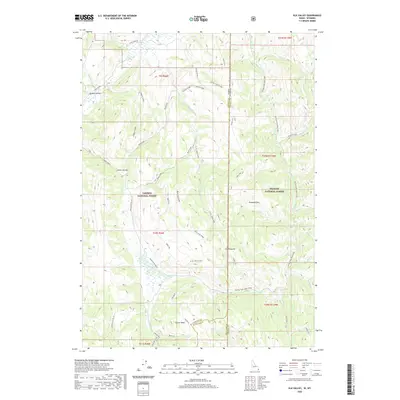 2020 Elk Valley2020 Print · USGSThe high borderlands of the Idaho-Wyoming state line are documented here in the modern era as a sprawling wilderness of national forests. Researchers can trace the remote network of trails and roads leading to The Pinnacle, Weasel Pass, and the Salt Basin.
 - 2020 Map of Border, 2020 Print
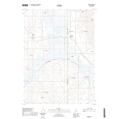 2020 Border2020 Print · USGSThe Idaho and Wyoming state line is defined by river confluences and mountain passes in this recent study of the Bear Lake and Lincoln County border. Researchers can trace intricate water systems like the Raymond Canal and find local hubs like Border Junction and Chausse.
 - 2020 Map of Sage Valley, 2020 Print
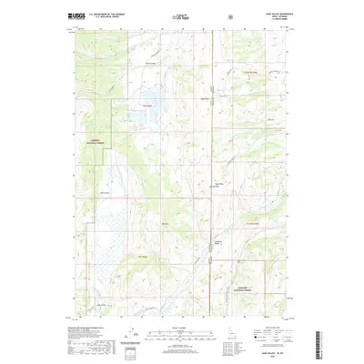 2020 Sage Valley2020 Print · USGSThe high-country border of Idaho and Wyoming comes into focus in this contemporary survey of the Caribou and Bridger National Forests. Genealogists and local historians can trace the paths of Smokey Canyon Rd and Crow Creek Rd through landmarks like Tygee Ridge and Hardmans Hollow.
 - 2020 Map of Geneva, 2020 Print
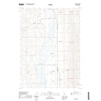 2020 Geneva2020 Print · USGSThe Idaho-Wyoming border comes alive in this modern survey of the Thomas Fork Valley. You can trace rural family roots through the Geneva Cem and Raymond Cem, or follow early water engineering along the Steven Larson Ditch and Raymond Canal.
Showing maps 1-25
Top cities of Wyoming
- Cheyenne historical maps
- Casper historical maps
- Laramie historical maps
- Gillette historical maps
- Rock Springs historical maps
- Sheridan historical maps
See more
Top counties of Wyoming
- Laramie County historical maps
- Natrona County historical maps
- Campbell County historical maps
- Sweetwater County historical maps
- Fremont County historical maps
- Albany County historical maps
See more
Frequently asked questions
- What are the different types of historical maps available for Wyoming?
- What is the oldest map of Wyoming?
- Where can I purchase historical maps of Wyoming for my home or office?
- Where can I download high-res historical maps of Wyoming?
- Are there historical topographic maps available for Wyoming?
- Is there historical aerial imagery available for Wyoming?
- Where are historical maps of Wyoming sourced from?