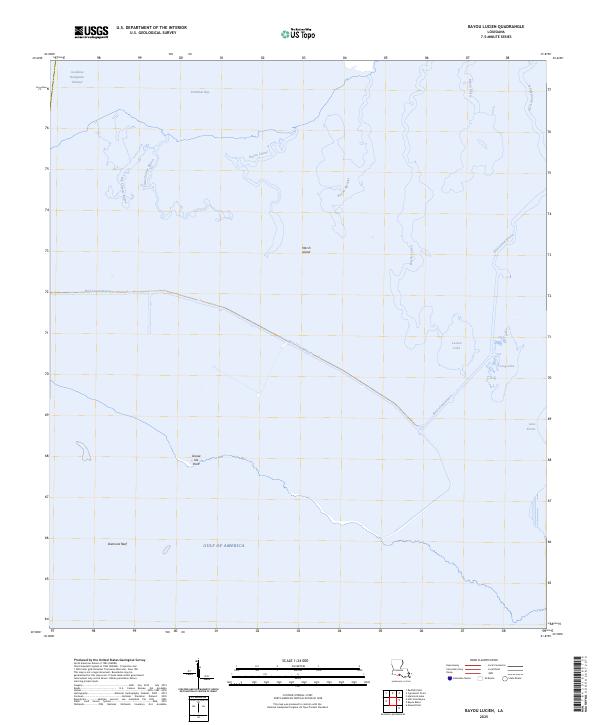
2025 Map of Bayou Lucien
USGS Topo · Published 2025About this map
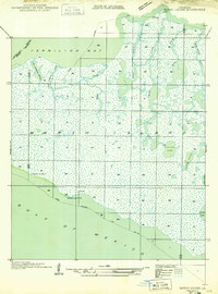
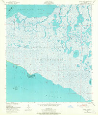
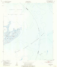
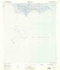
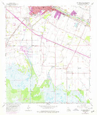
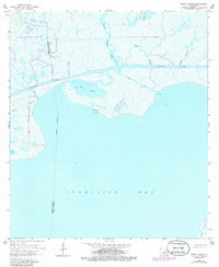
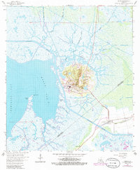
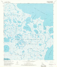
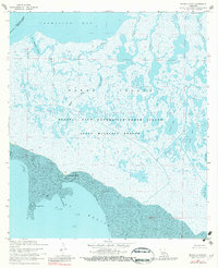
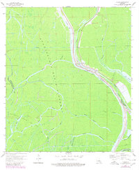
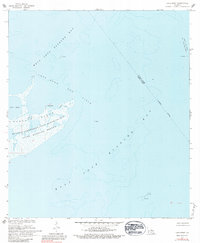
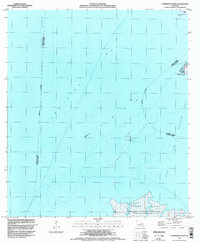
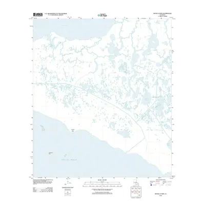
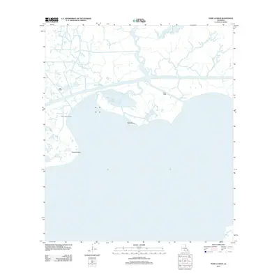
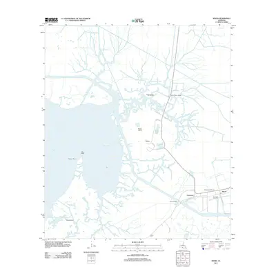
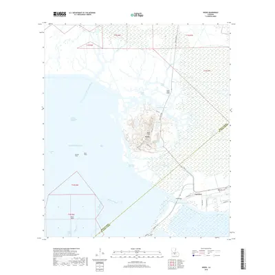
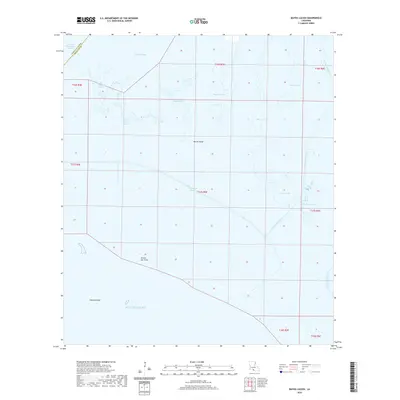
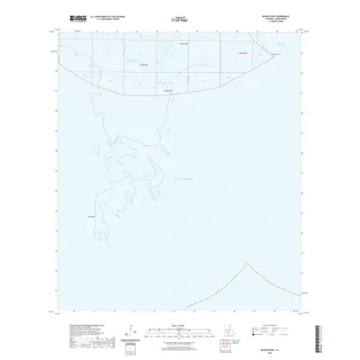
Marsh Island dominates this coastal landscape where the waters of the Gulf of America meet the labyrinthine wetlands of southern Iberia Parish. The map reveals a complex network of estuarine waterways, most notably the winding course of Bayou Lucien and the long, straight trajectory of Bird Island Bayou as it cuts across the marsh. These natural channels are complemented by the Acadiana Navigation Channel in the northwest, highlighting the area's role in maritime transit and the regional economy.
Find a feature on this map
16 named features on this map. Tap any name to fly to it.
Don’t see what you’re looking for? This feature index may not catch every label — zoom into the map to look around manually.
Map Details
Editions of this 2025 Bayou Lucien Map
This is the sole edition of this map. No revisions or reprints were ever made.
Historical Maps of Iberia Parish Through Time
86 maps found
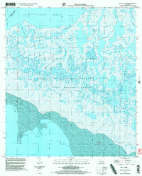
1932 Bayou Blanc
Iberia Parish, LA

1937 Derouen
Iberia Parish, LA
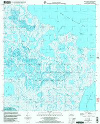
1948 Bayou Blanc
Iberia Parish, LA
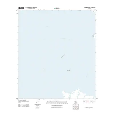
1948 Cypremort Point
Iberia Parish, LA
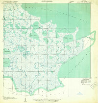
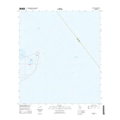
1949 Bayou Lucien
Iberia Parish, LA
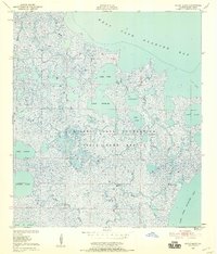
1951 Bayou Lucien
Iberia Parish, LA
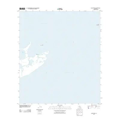
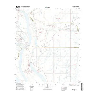
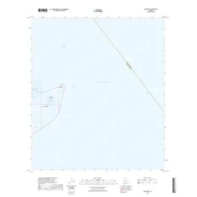
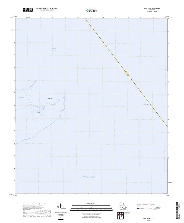
1951 Lake Point
Iberia Parish, LA
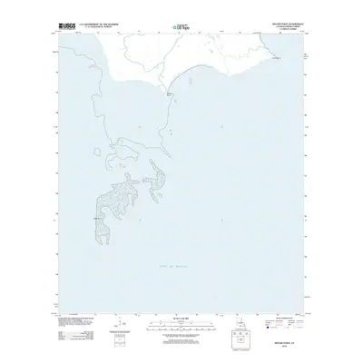
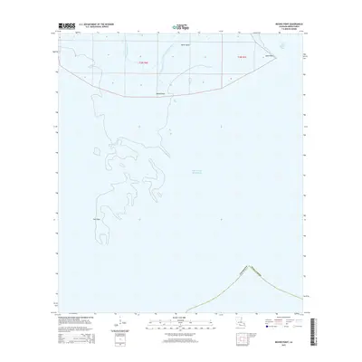
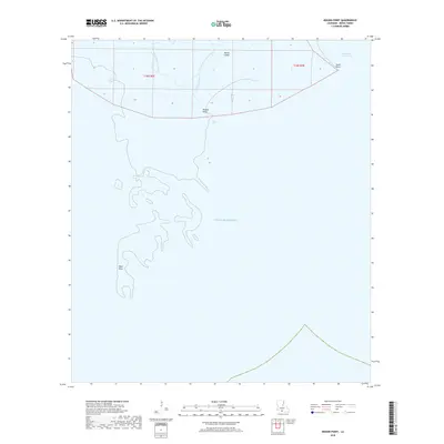
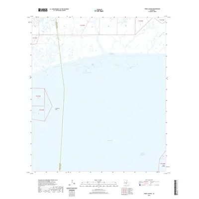
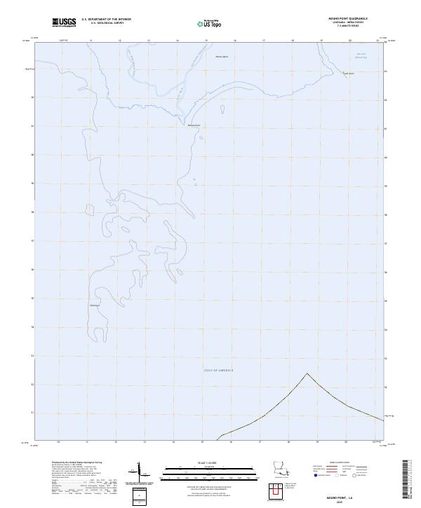
1951 Mound Point
Iberia Parish, LA

1963 Derouen
Iberia Parish, LA
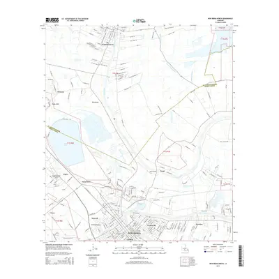
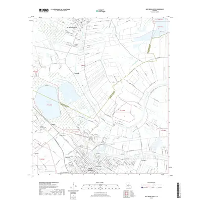
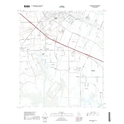
1963 New Iberia South
Iberia Parish, LA
1963 Tigre Lagoon
Iberia Parish, LA
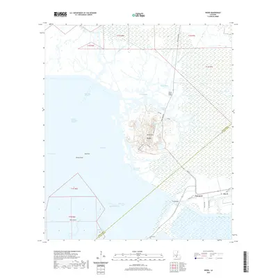
1963 Weeks
Iberia Parish, LA

1966 Derouen
Iberia Parish, LA
1968 Bayou Blanc
Iberia Parish, LA
1968 Bayou Lucien
Iberia Parish, LA
1968 Cypremort Point
Iberia Parish, LA
1968 Marsh Island
Iberia Parish, LA
1968 Mound Point
Iberia Parish, LA
1969 Pigeon
Iberia Parish, LA
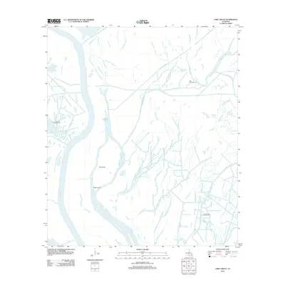
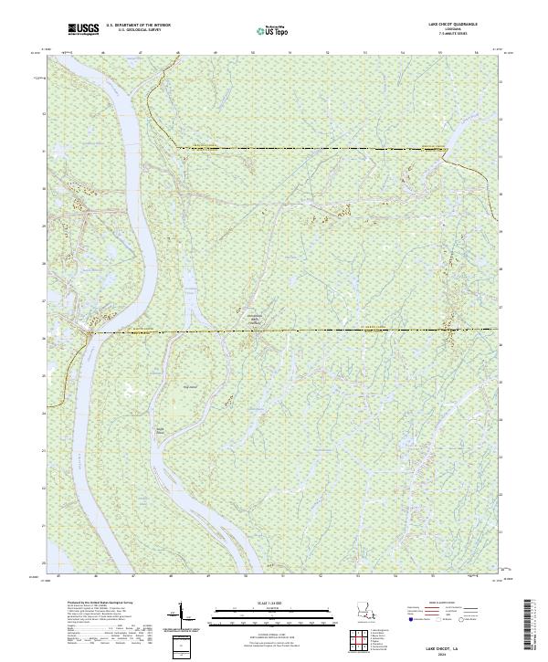
1970 Lake Chicot
Iberia Parish, LA
1970 Lake Point
Iberia Parish, LA
1983 New Iberia North
Iberia Parish, LA
1994 Cypremort Point
Iberia Parish, LA
1994 New Iberia South
Iberia Parish, LA
1994 Tigre Lagoon
Iberia Parish, LA
1994 Weeks
Iberia Parish, LA
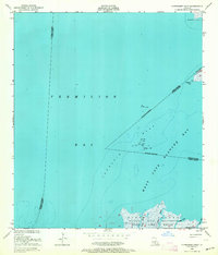
1998 Bayou Lucien
Iberia Parish, LA
1999 Bayou Blanc
Iberia Parish, LA
2012 Bayou Blanc
Iberia Parish, LA
2012 Bayou Lucien
Iberia Parish, LA
2012 Cypremort Point
Iberia Parish, LA
2012 Lake Chicot
Iberia Parish, LA
2012 Lake Point
Iberia Parish, LA
2012 Mound Point
Iberia Parish, LA
2012 New Iberia North
Iberia Parish, LA
2012 New Iberia South
Iberia Parish, LA
2012 Pigeon
Iberia Parish, LA
2012 Tigre Lagoon
Iberia Parish, LA
2012 Weeks
Iberia Parish, LA
2015 Bayou Blanc
Iberia Parish, LA
2015 Bayou Lucien
Iberia Parish, LA
2015 Cypremort Point
Iberia Parish, LA
2015 Lake Chicot
Iberia Parish, LA
2015 Lake Point
Iberia Parish, LA
2015 Mound Point
Iberia Parish, LA
2015 New Iberia North
Iberia Parish, LA
2015 New Iberia South
Iberia Parish, LA
2015 Pigeon
Iberia Parish, LA
2015 Tigre Lagoon
Iberia Parish, LA
2015 Weeks
Iberia Parish, LA
2018 Bayou Blanc
Iberia Parish, LA
2018 Bayou Lucien
Iberia Parish, LA
2018 Cypremort Point
Iberia Parish, LA
2018 Lake Chicot
Iberia Parish, LA
2018 Lake Point
Iberia Parish, LA
2018 Mound Point
Iberia Parish, LA
2018 New Iberia North
Iberia Parish, LA
2018 New Iberia South
Iberia Parish, LA
2018 Pigeon
Iberia Parish, LA
2018 Tigre Lagoon
Iberia Parish, LA
2018 Weeks
Iberia Parish, LA
2020 Bayou Blanc
Iberia Parish, LA
2020 Bayou Lucien
Iberia Parish, LA
2020 Cypremort Point
Iberia Parish, LA
2020 Lake Chicot
Iberia Parish, LA
2020 Lake Point
Iberia Parish, LA
2020 Mound Point
Iberia Parish, LA
2020 New Iberia North
Iberia Parish, LA
2020 New Iberia South
Iberia Parish, LA
2020 Pigeon
Iberia Parish, LA
2020 Tigre Lagoon
Iberia Parish, LA
2020 Weeks
Iberia Parish, LA
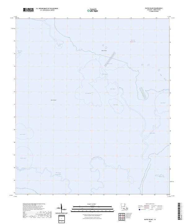
2024 Bayou Blanc
Iberia Parish, LA

2024 Bayou Lucien
Iberia Parish, LA
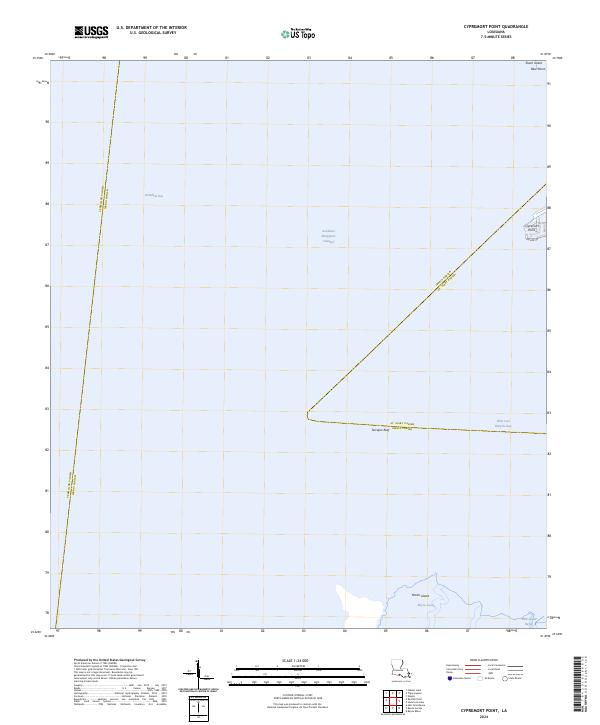
2024 Cypremort Point
Iberia Parish, LA
2024 Lake Chicot
Iberia Parish, LA
2024 Lake Point
Iberia Parish, LA
2024 Mound Point
Iberia Parish, LA
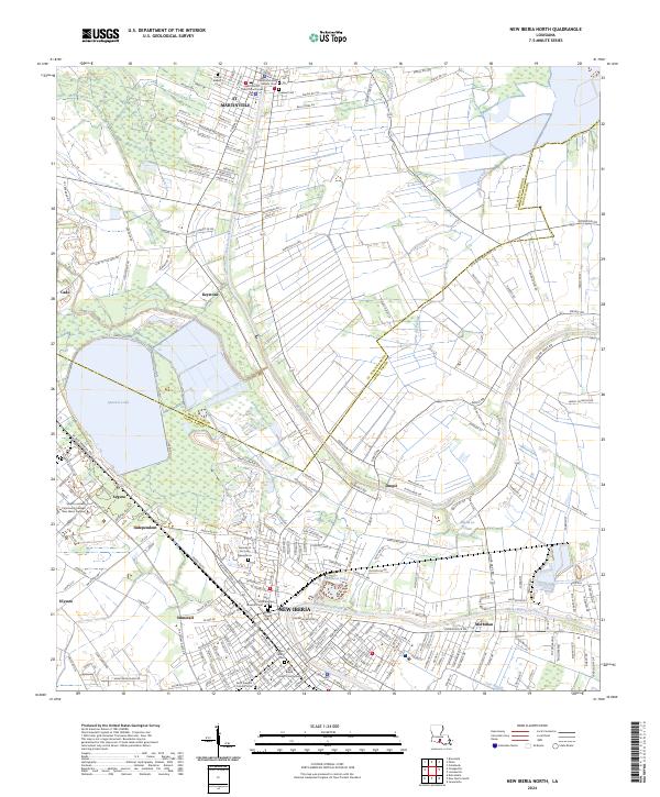
2024 New Iberia North
Iberia Parish, LA
2024 New Iberia South
Iberia Parish, LA
2024 Pigeon
Iberia Parish, LA
2024 Tigre Lagoon
Iberia Parish, LA
2024 Weeks
Iberia Parish, LA
2025 Bayou Lucien
Iberia Parish, LA
2025 Lake Point
Iberia Parish, LA
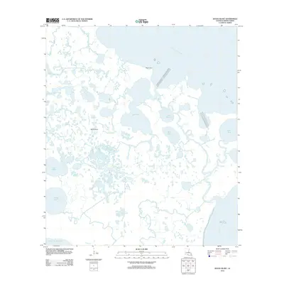
2025 Mound Point
Iberia Parish, LA