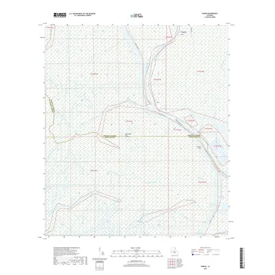
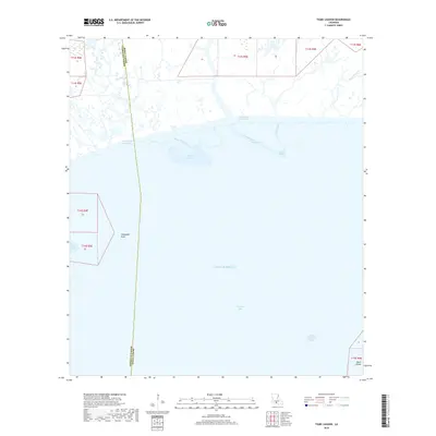
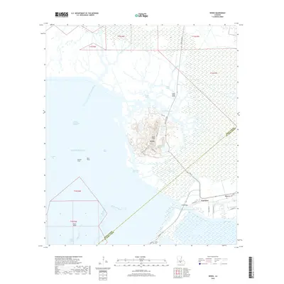
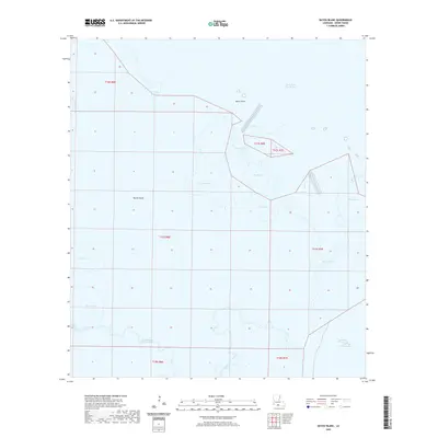
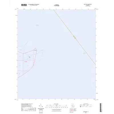
2024 Map of Cypremort Point
USGS Topo · Published 2024About this map
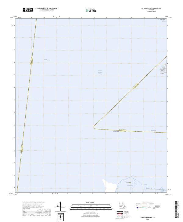
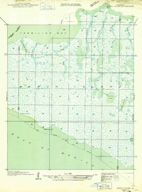
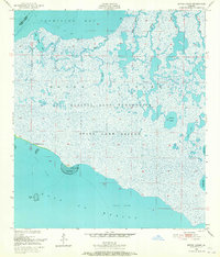
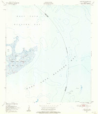
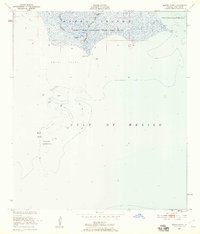
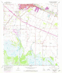
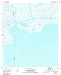
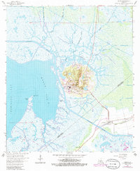
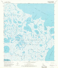
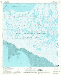
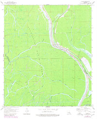
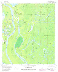
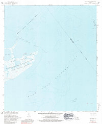
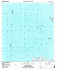
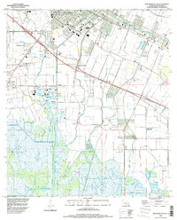
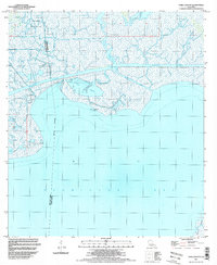
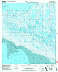
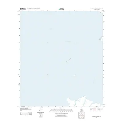
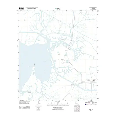
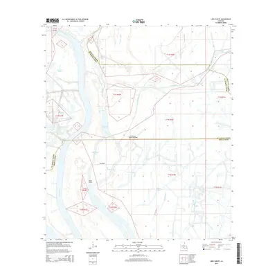
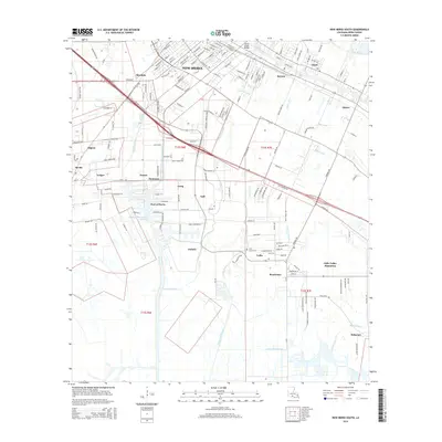
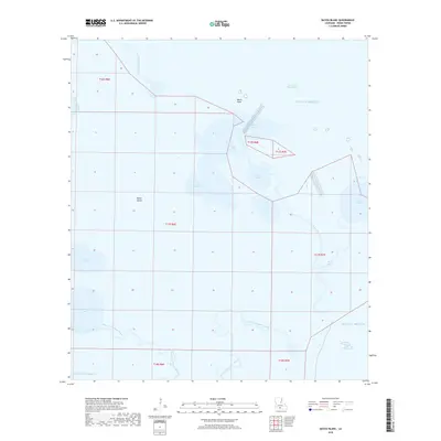
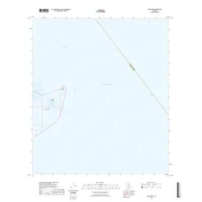
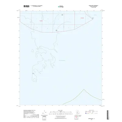
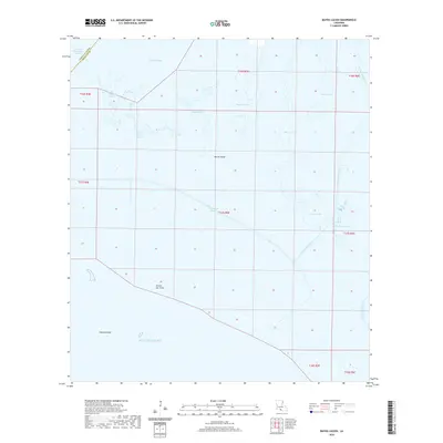
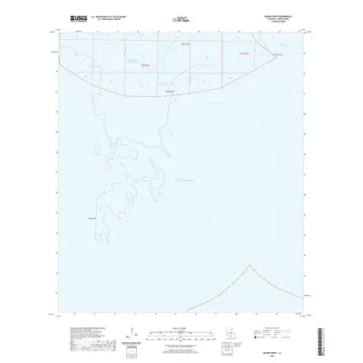
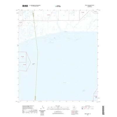
Vermilion Bay and West Cote Blanche Bay dominate this coastal landscape, where the shifting margins of the Louisiana shoreline meet the Gulf of Mexico. The community of Cypremort Point sits on a narrow finger of land, served by Bayview Rd, representing one of the few points of human habitation in this watery expanse. This map illustrates the complex intersection of parish lines, showing where Vermilion, Iberia, and St. Mary Parishes converge across open water and salt marshes. Navigational infrastructure is critical here, marked by the Acadiana Navigation Channel cutting through the bay. To the south, the northern edge of Marsh Island is visible, threaded by Bayou Lucien and Bird Island Bayou, while smaller features like Shark Island and Terrapin Reef provide essential landmarks for coastal mariners and locals familiar with the changing tides of the marsh.
Find a feature on this map
29 named features on this map. Tap any name to fly to it.
Don’t see what you’re looking for? This feature index may not catch every label — zoom into the map to look around manually.
Map Details
Editions of this 2024 Cypremort Point Map
This is the sole edition of this map. No revisions or reprints were ever made.
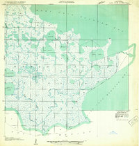
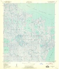
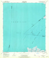
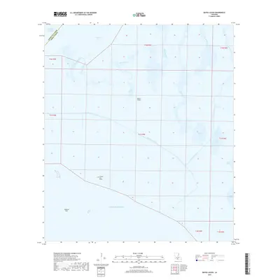
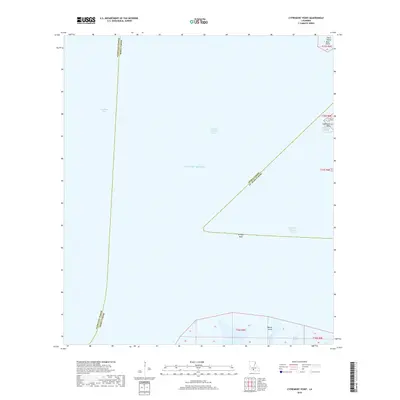
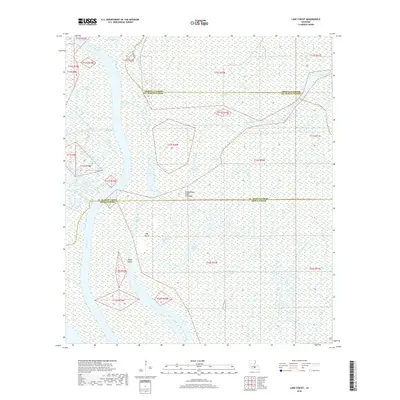
Historical Maps of Iberia Parish Through Time
86 maps found
1932 Bayou Blanc
Iberia Parish, LA

1937 Derouen
Iberia Parish, LA
1948 Bayou Blanc
Iberia Parish, LA
1948 Cypremort Point
Iberia Parish, LA
1949 Bayou Lucien
Iberia Parish, LA
1951 Bayou Lucien
Iberia Parish, LA
1951 Lake Point
Iberia Parish, LA
1951 Mound Point
Iberia Parish, LA

1963 Derouen
Iberia Parish, LA
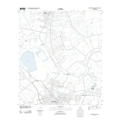
1963 New Iberia South
Iberia Parish, LA
1963 Tigre Lagoon
Iberia Parish, LA
1963 Weeks
Iberia Parish, LA

1966 Derouen
Iberia Parish, LA
1968 Bayou Blanc
Iberia Parish, LA
1968 Bayou Lucien
Iberia Parish, LA
1968 Cypremort Point
Iberia Parish, LA
1968 Marsh Island
Iberia Parish, LA
1968 Mound Point
Iberia Parish, LA
1969 Pigeon
Iberia Parish, LA
1970 Lake Chicot
Iberia Parish, LA
1970 Lake Point
Iberia Parish, LA
1983 New Iberia North
Iberia Parish, LA
1994 Cypremort Point
Iberia Parish, LA
1994 New Iberia South
Iberia Parish, LA
1994 Tigre Lagoon
Iberia Parish, LA
1994 Weeks
Iberia Parish, LA
1998 Bayou Lucien
Iberia Parish, LA
1999 Bayou Blanc
Iberia Parish, LA
2012 Bayou Blanc
Iberia Parish, LA
2012 Bayou Lucien
Iberia Parish, LA
2012 Cypremort Point
Iberia Parish, LA
2012 Lake Chicot
Iberia Parish, LA
2012 Lake Point
Iberia Parish, LA
2012 Mound Point
Iberia Parish, LA
2012 New Iberia North
Iberia Parish, LA
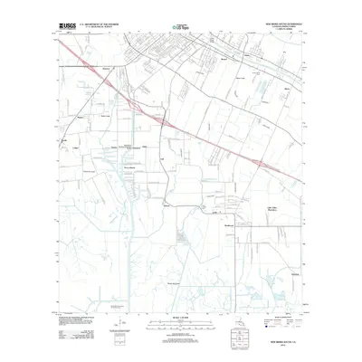
2012 New Iberia South
Iberia Parish, LA
2012 Pigeon
Iberia Parish, LA
2012 Tigre Lagoon
Iberia Parish, LA
2012 Weeks
Iberia Parish, LA
2015 Bayou Blanc
Iberia Parish, LA
2015 Bayou Lucien
Iberia Parish, LA
2015 Cypremort Point
Iberia Parish, LA
2015 Lake Chicot
Iberia Parish, LA
2015 Lake Point
Iberia Parish, LA
2015 Mound Point
Iberia Parish, LA
2015 New Iberia North
Iberia Parish, LA
2015 New Iberia South
Iberia Parish, LA
2015 Pigeon
Iberia Parish, LA
2015 Tigre Lagoon
Iberia Parish, LA
2015 Weeks
Iberia Parish, LA
2018 Bayou Blanc
Iberia Parish, LA
2018 Bayou Lucien
Iberia Parish, LA
2018 Cypremort Point
Iberia Parish, LA
2018 Lake Chicot
Iberia Parish, LA
2018 Lake Point
Iberia Parish, LA
2018 Mound Point
Iberia Parish, LA
2018 New Iberia North
Iberia Parish, LA
2018 New Iberia South
Iberia Parish, LA
2018 Pigeon
Iberia Parish, LA
2018 Tigre Lagoon
Iberia Parish, LA
2018 Weeks
Iberia Parish, LA
2020 Bayou Blanc
Iberia Parish, LA
2020 Bayou Lucien
Iberia Parish, LA
2020 Cypremort Point
Iberia Parish, LA
2020 Lake Chicot
Iberia Parish, LA
2020 Lake Point
Iberia Parish, LA
2020 Mound Point
Iberia Parish, LA
2020 New Iberia North
Iberia Parish, LA
2020 New Iberia South
Iberia Parish, LA
2020 Pigeon
Iberia Parish, LA
2020 Tigre Lagoon
Iberia Parish, LA
2020 Weeks
Iberia Parish, LA
2024 Bayou Blanc
Iberia Parish, LA

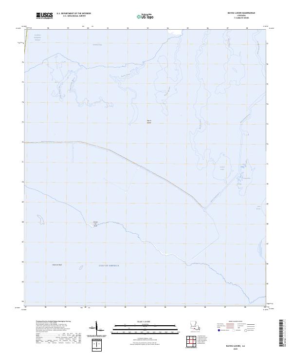
2024 Bayou Lucien
Iberia Parish, LA
2024 Cypremort Point
Iberia Parish, LA
2024 Lake Chicot
Iberia Parish, LA
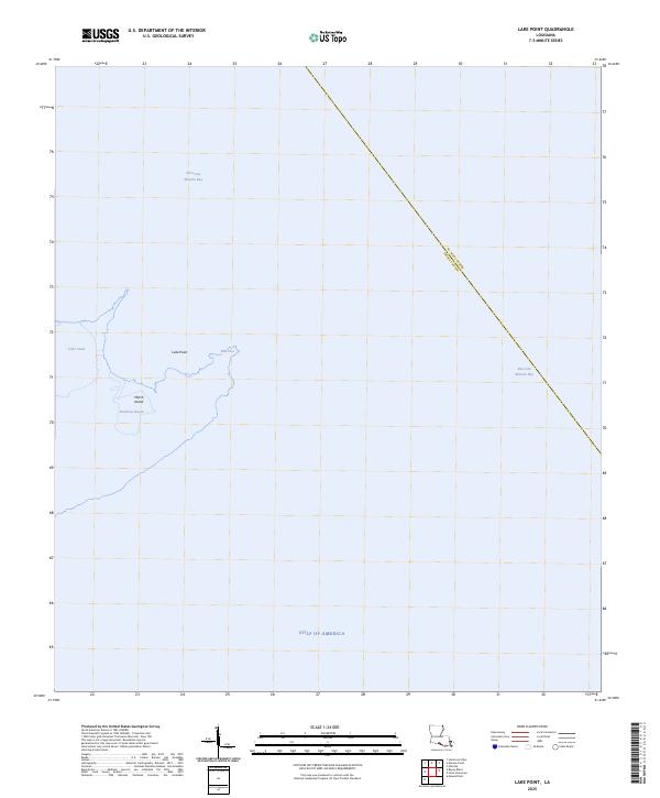
2024 Lake Point
Iberia Parish, LA
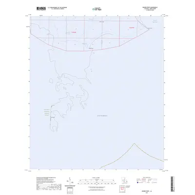
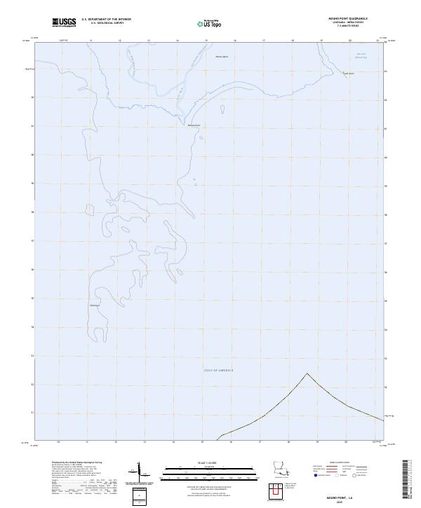
2024 Mound Point
Iberia Parish, LA
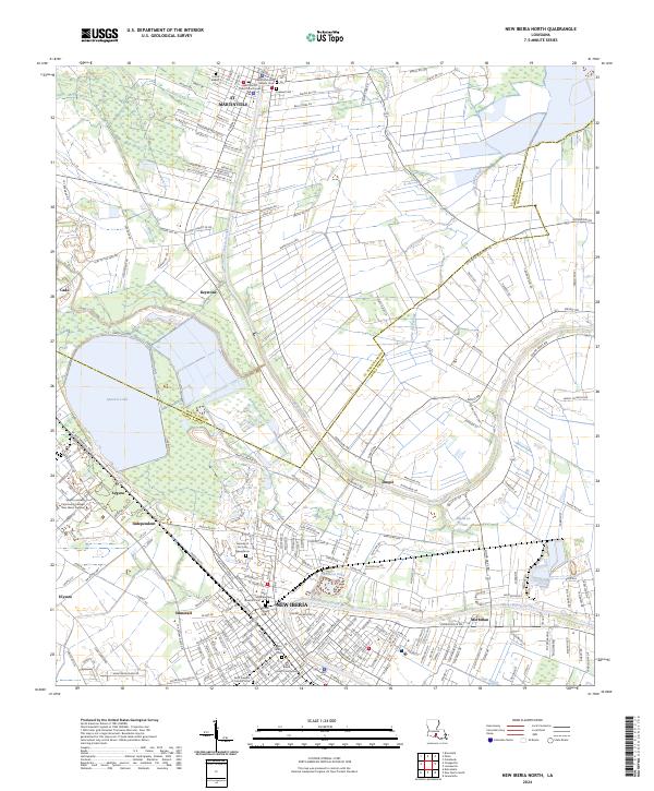
2024 New Iberia North
Iberia Parish, LA
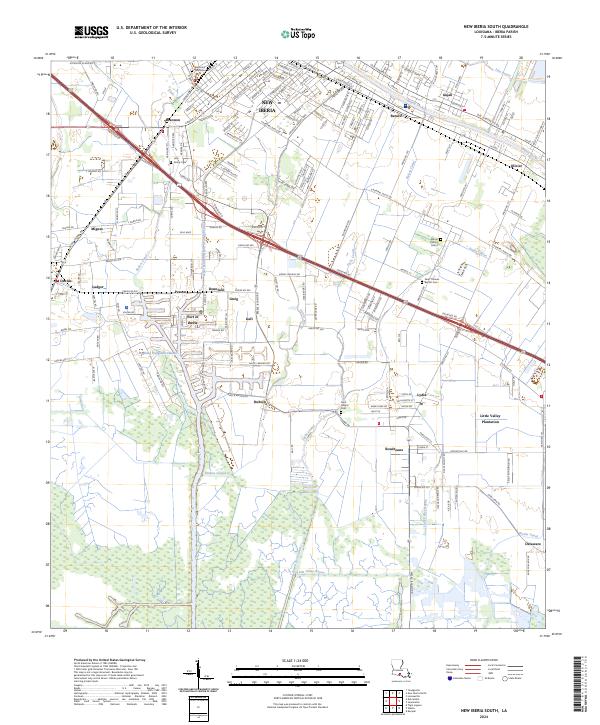
2024 New Iberia South
Iberia Parish, LA
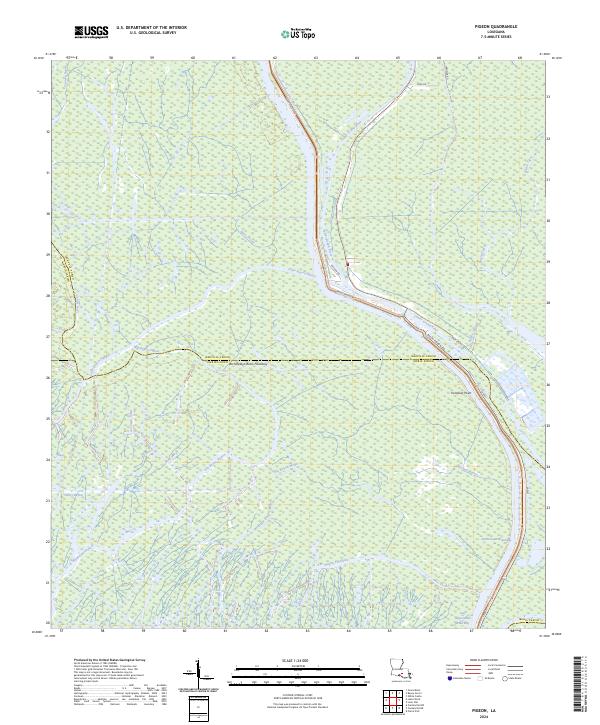
2024 Pigeon
Iberia Parish, LA
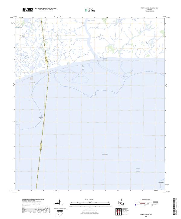
2024 Tigre Lagoon
Iberia Parish, LA
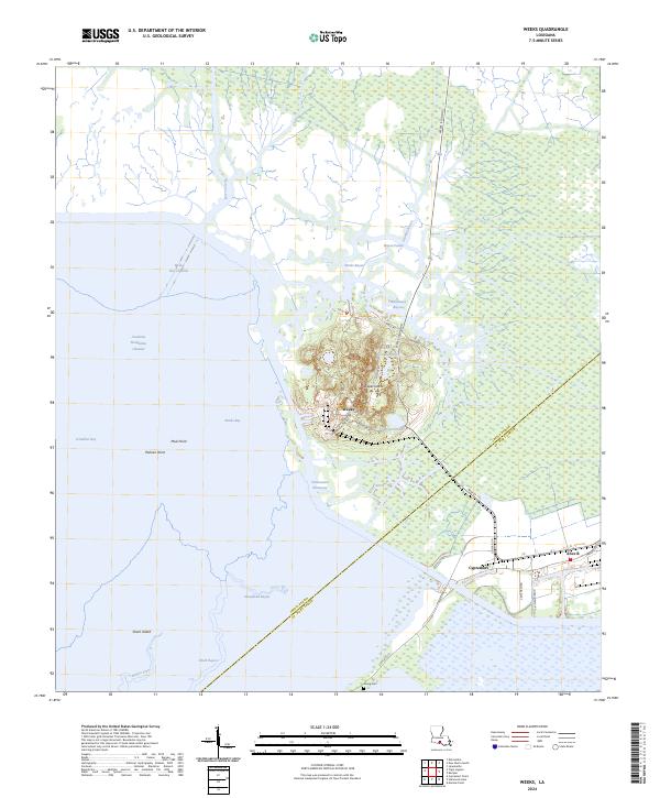
2024 Weeks
Iberia Parish, LA
2025 Bayou Lucien
Iberia Parish, LA
2025 Lake Point
Iberia Parish, LA
2025 Mound Point
Iberia Parish, LA